Somo River
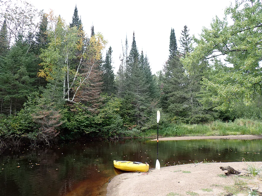


The Somo is a small river located in north central Wisconsin by the city of Tomahawk. It feeds the Wisconsin River from the west where its lower portions are backed up for about six miles by the Tomahawk dam. These last few miles of the Somo are the most popular and have a lot of shoreline development and boat traffic. My plan, however, was to start on an upstream leg where the river would be presumably more free-flowing and interesting.
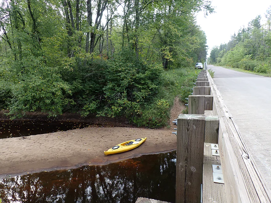
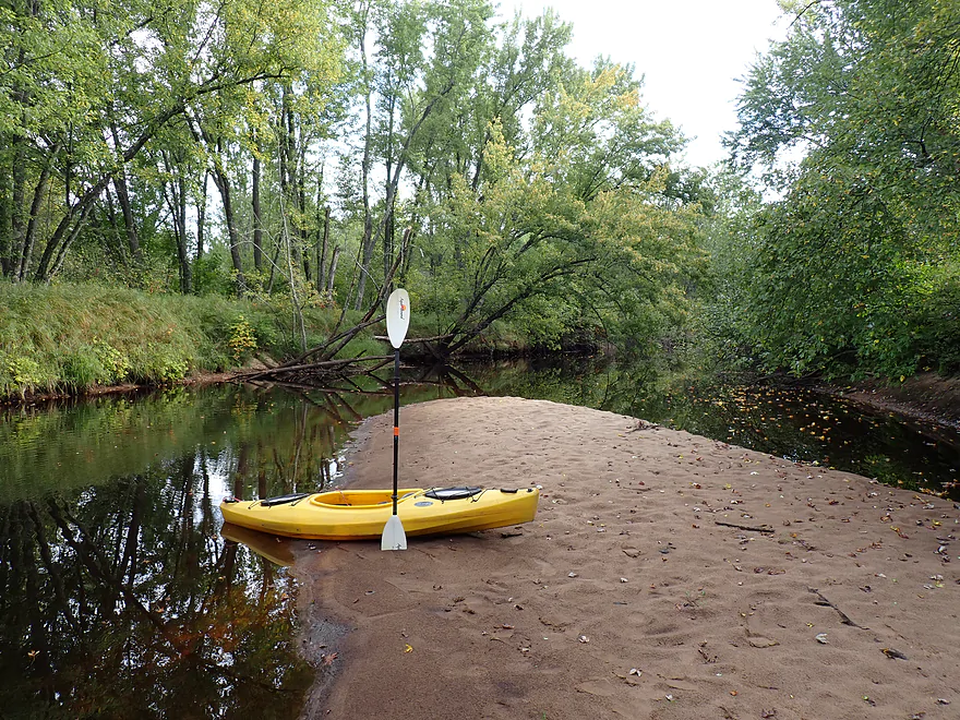
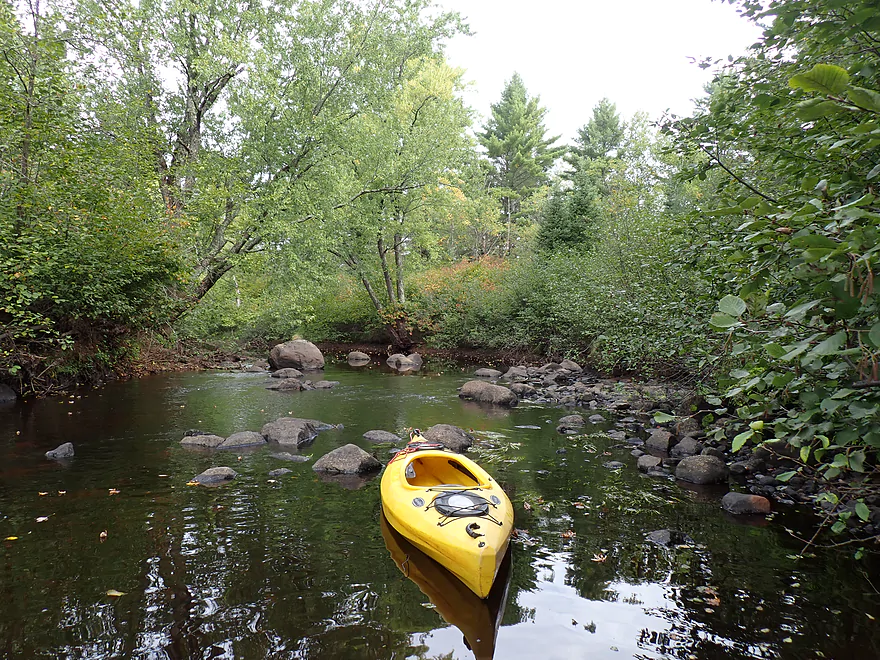
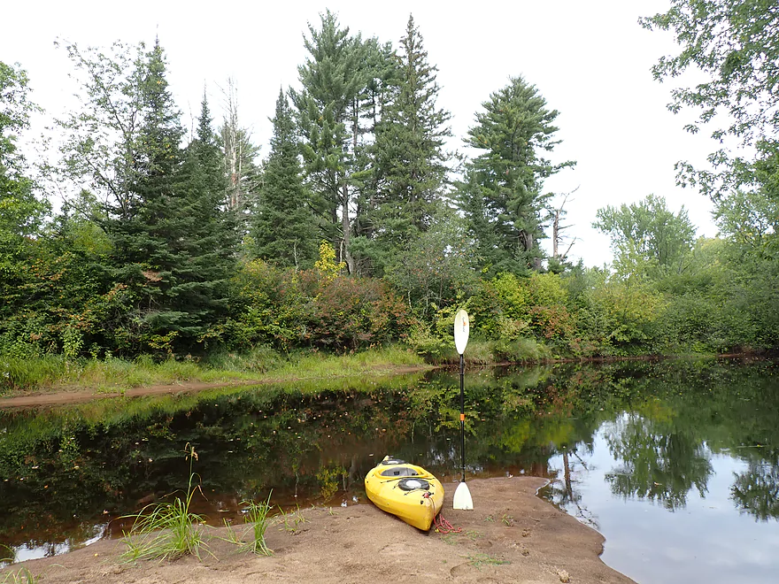
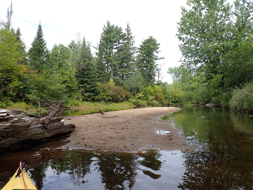
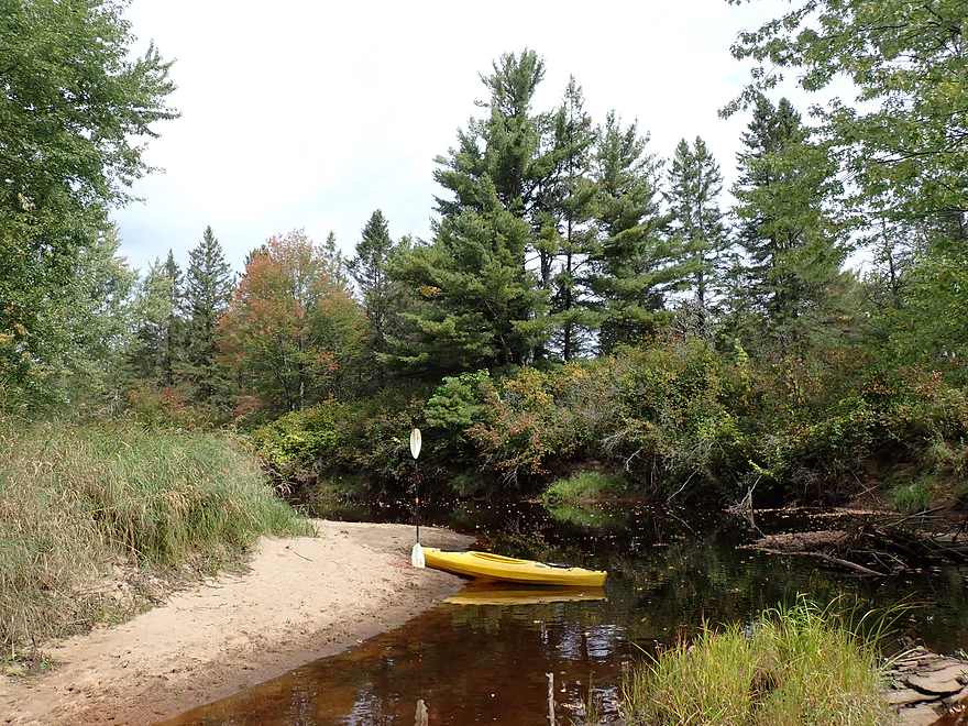
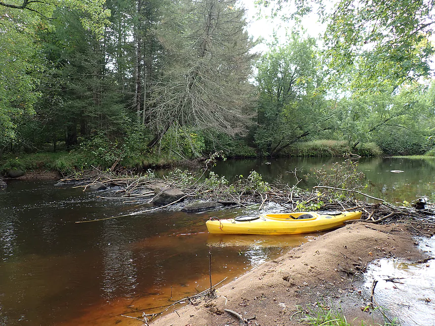
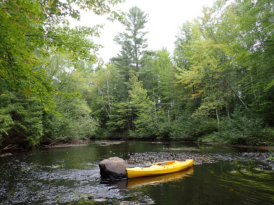
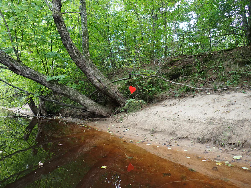
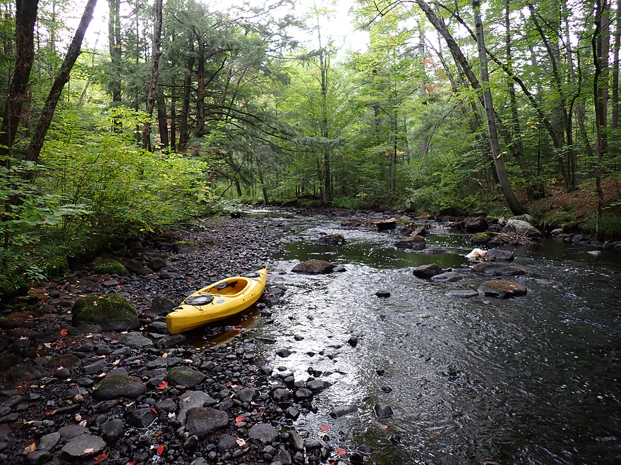
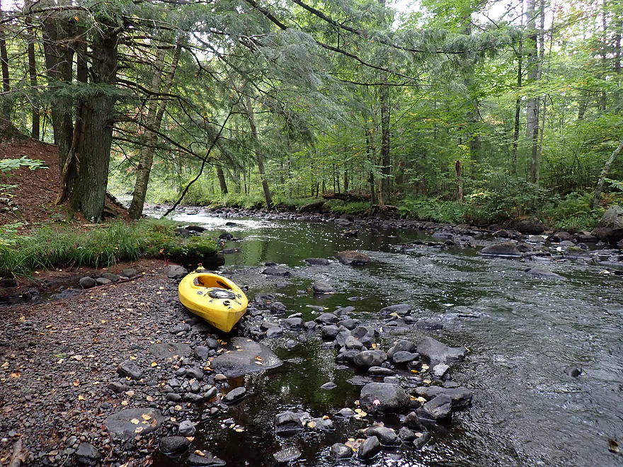
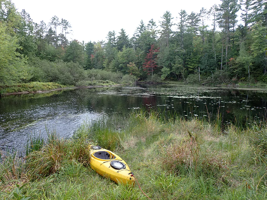
The trip got off to a nice start. My bridge put-in off Zenith Tower Road had a sandbar which made launching super easy. The river in general was surprisingly sandy, and this would be the first of a handful I would see on the trip.
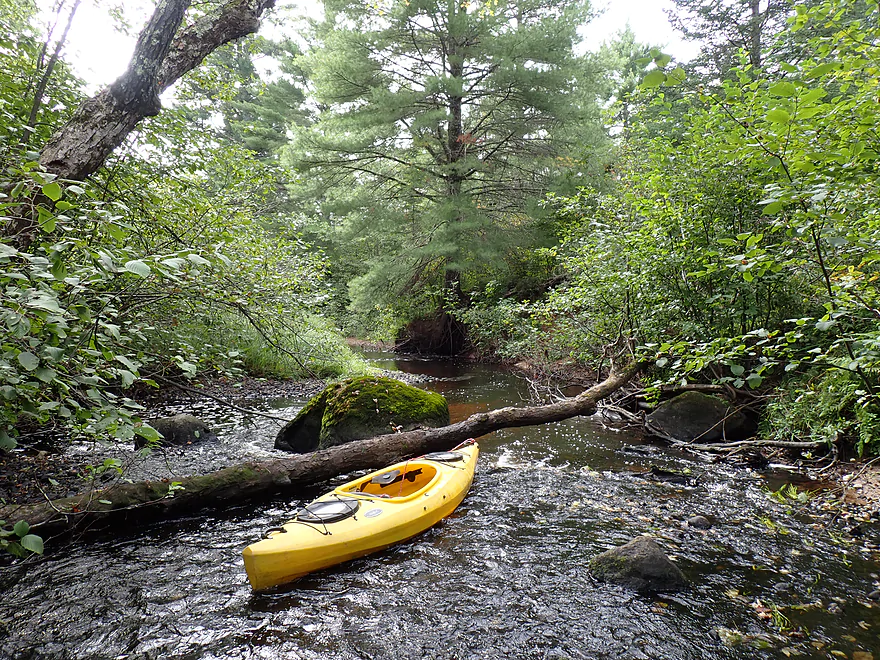
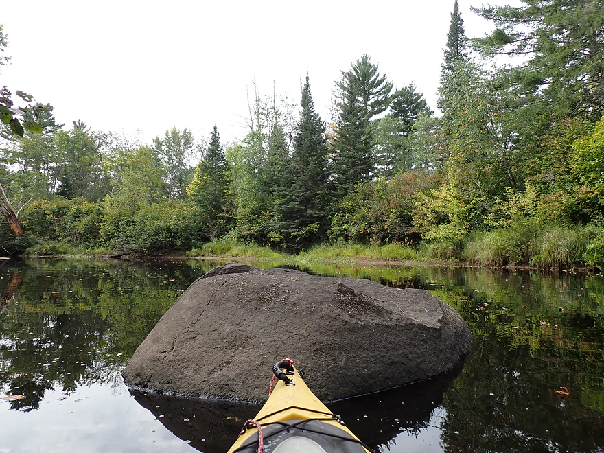
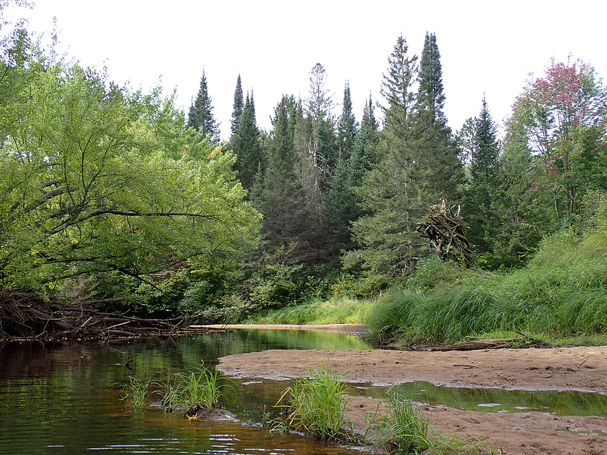
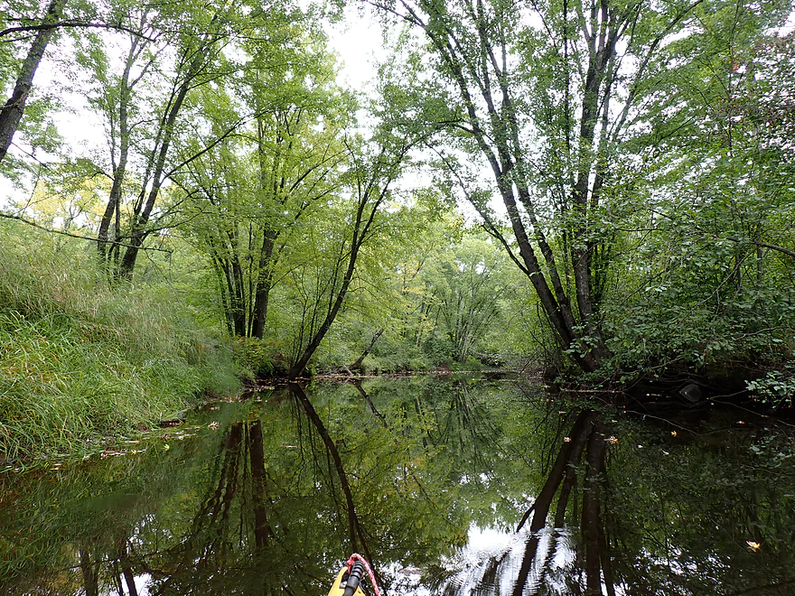
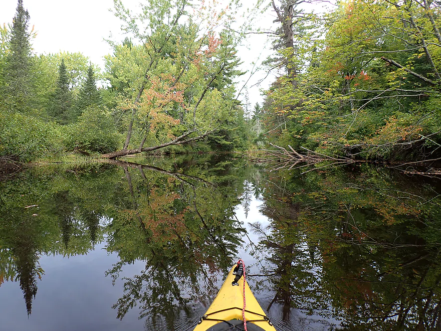
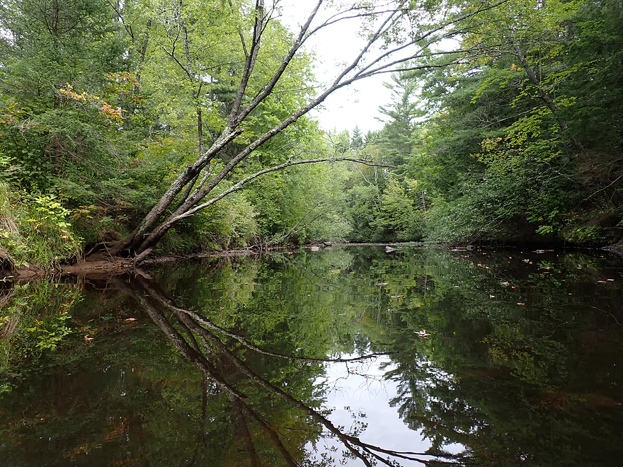
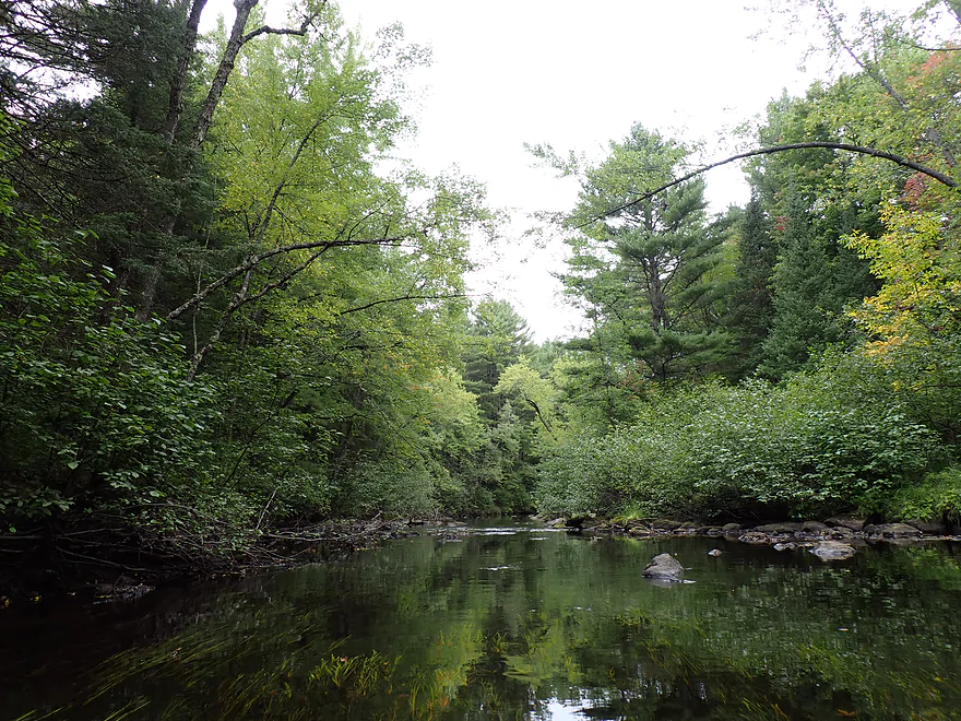
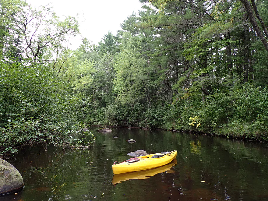
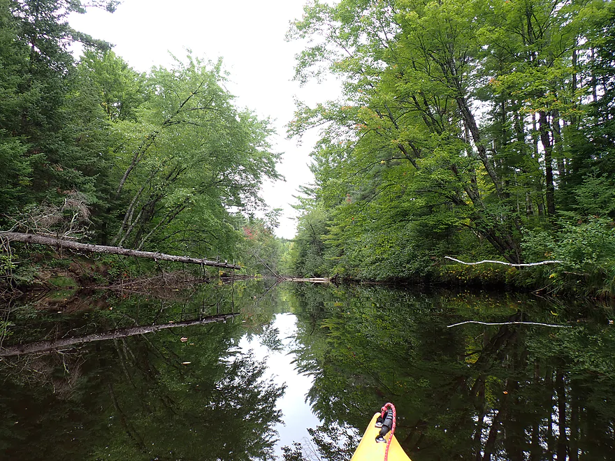
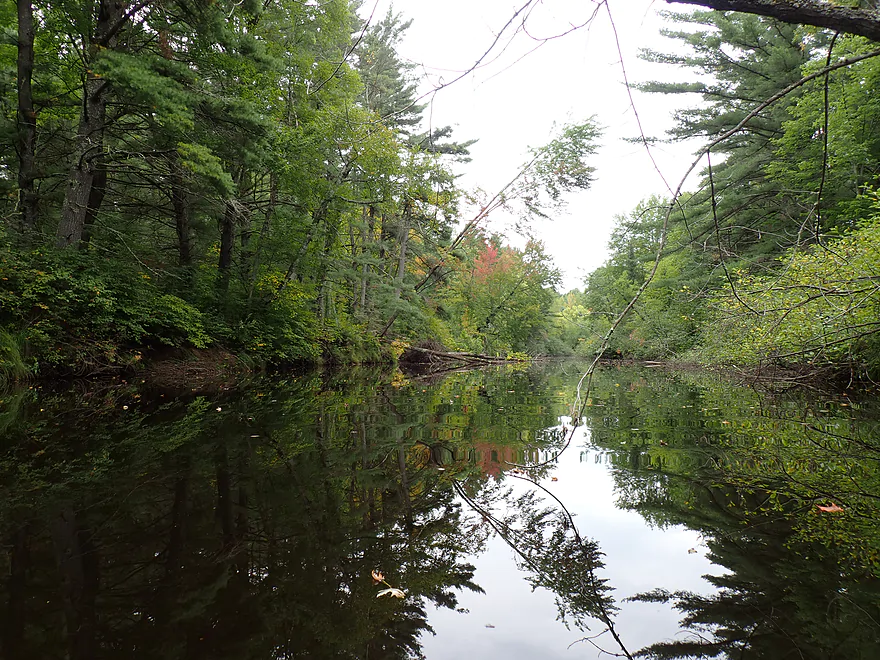
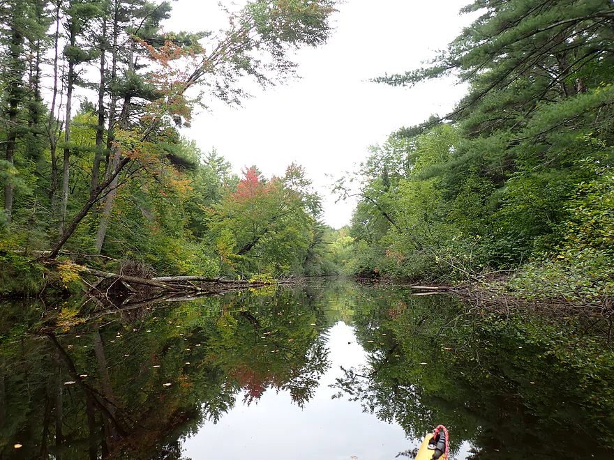
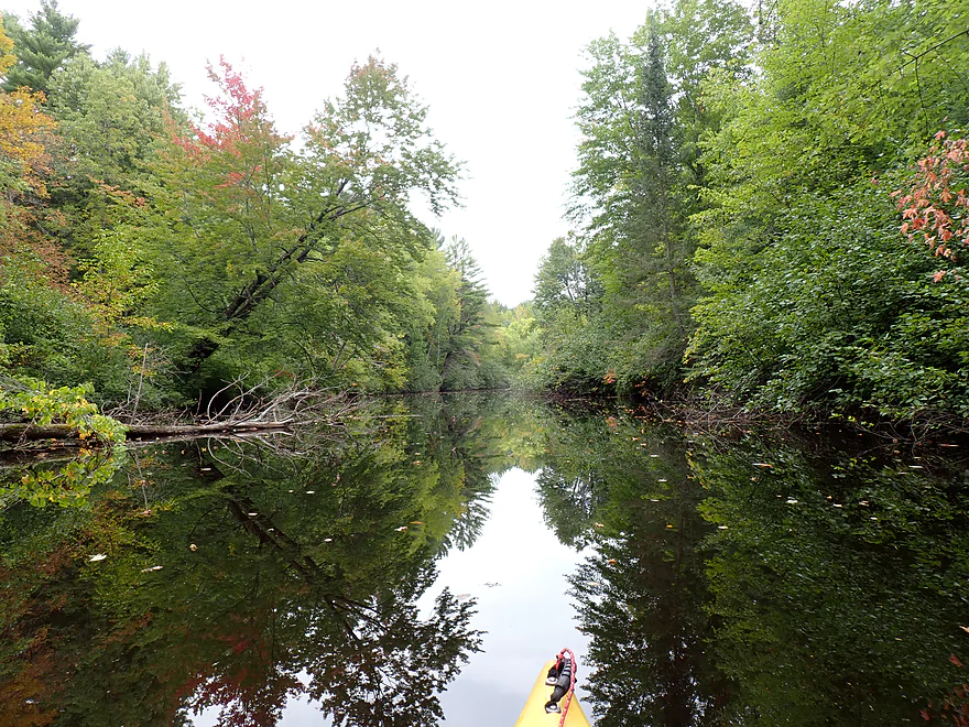
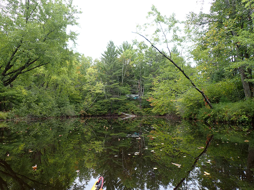
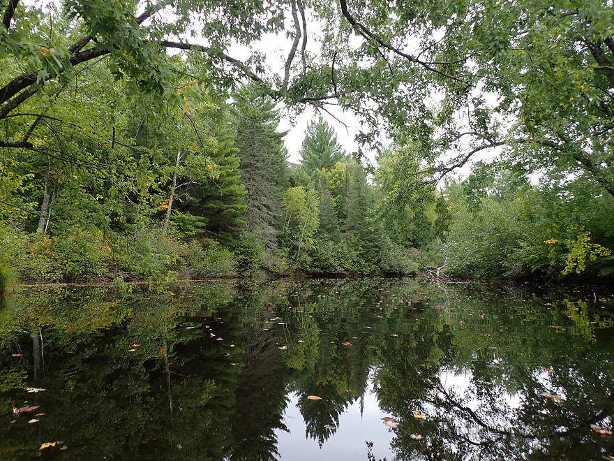
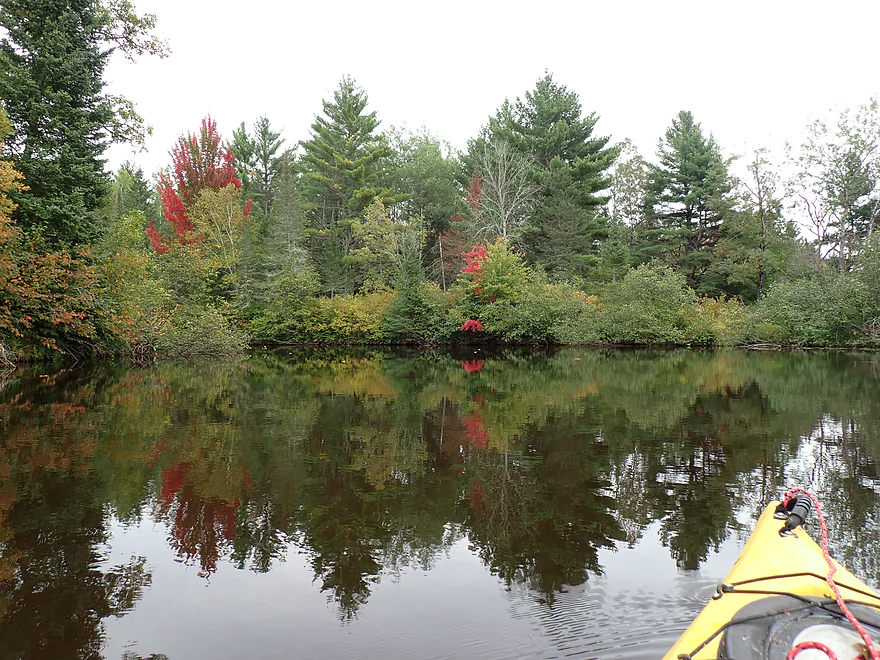
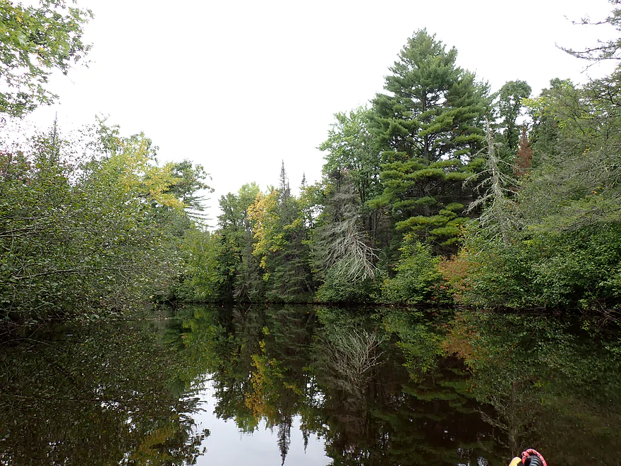
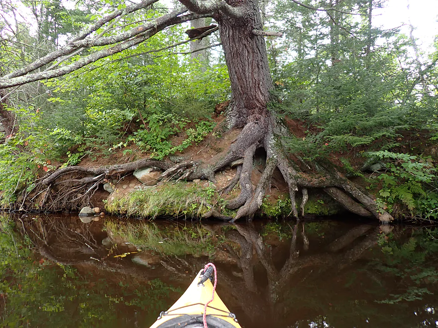
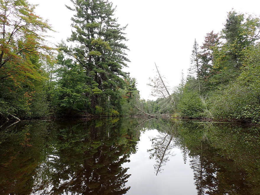
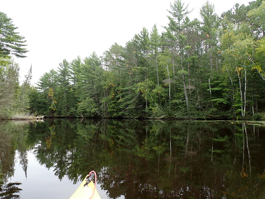
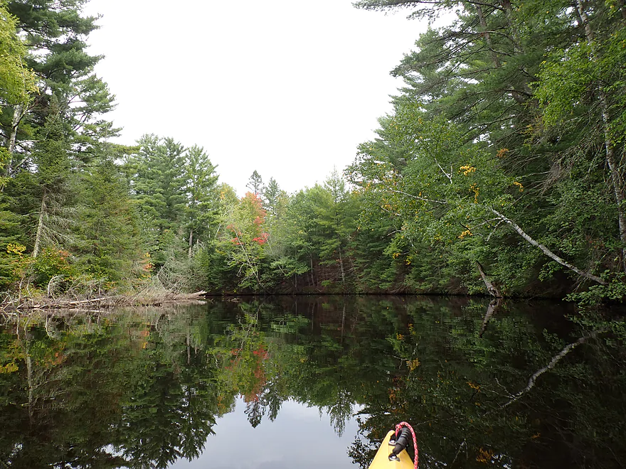
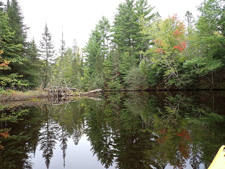
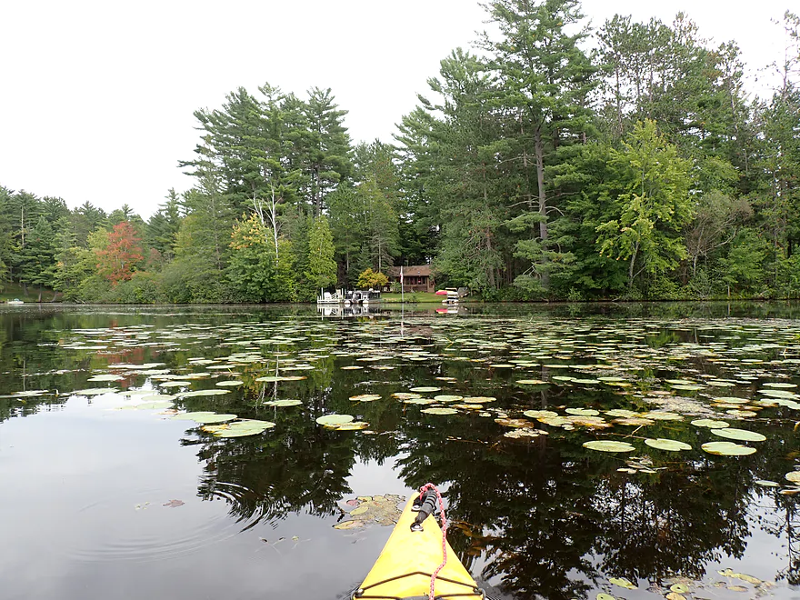
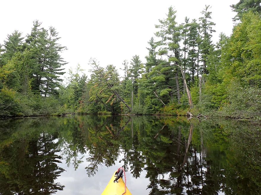
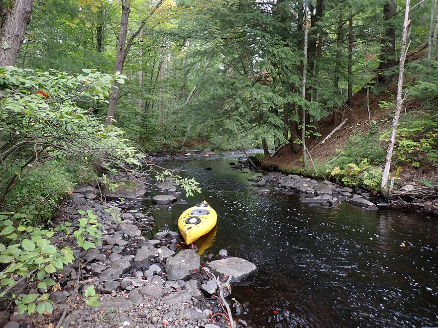
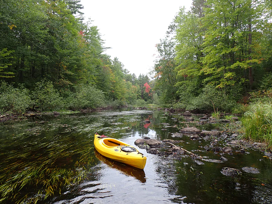
The first thing I found remarkable was how slow the current was (this wasn’t an impounded stretch). The scenery would vary. Sometimes it would be typical up-north shrubs and weedy silver maple (meh)…but sometimes around a corner would be towering pines or a wall of fir trees. The conifers on this trip were fantastic and this was one of the best “pine paddles” I’ve ever done.
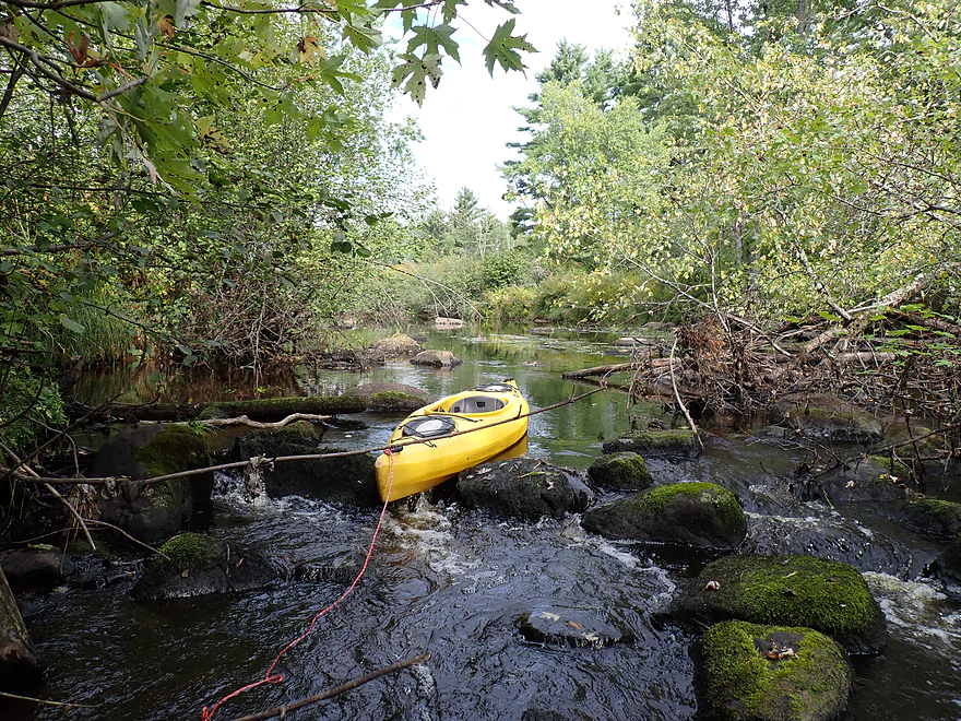
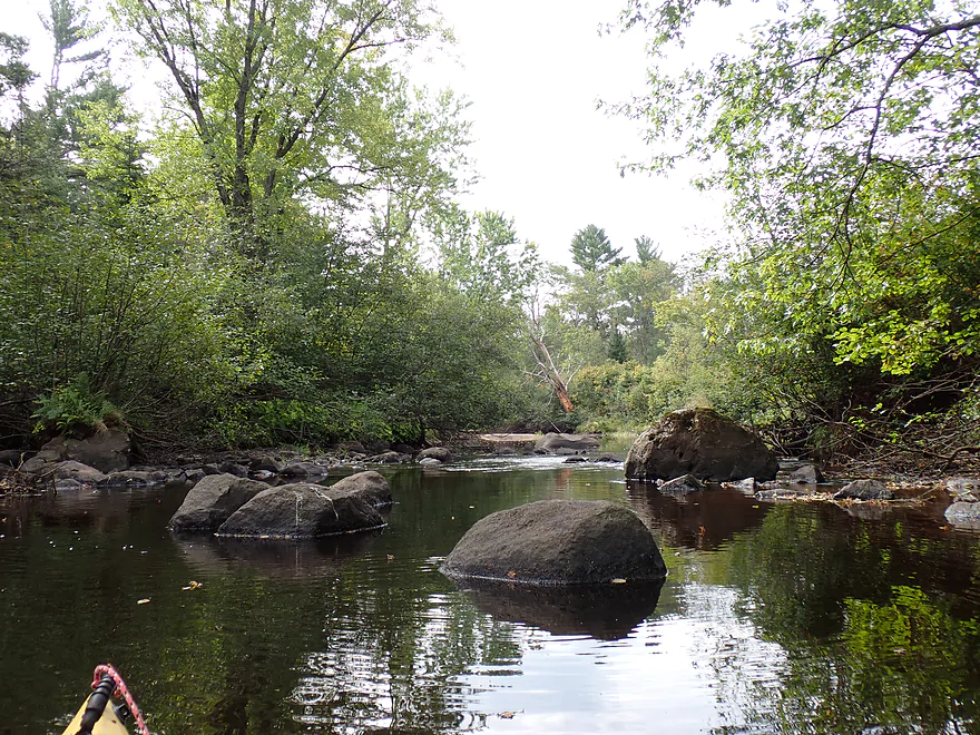
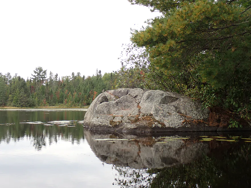
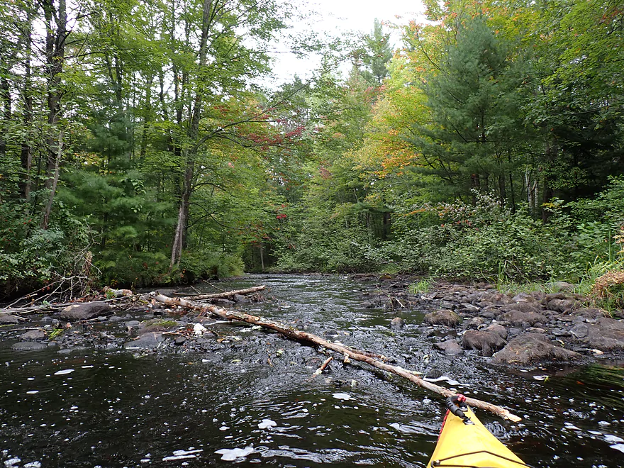
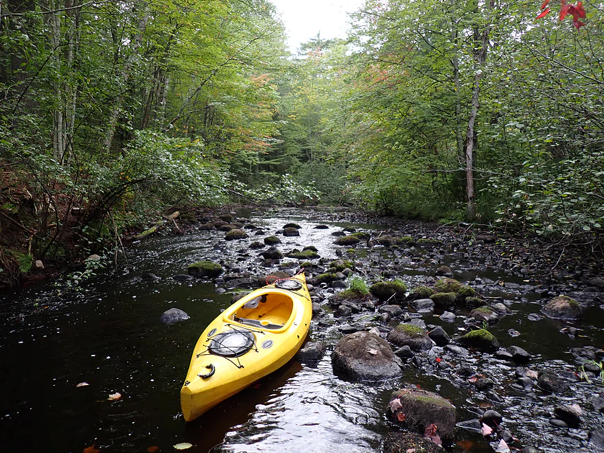
Early on I encountered a few logjams, but they were easy portages. While in general the river wasn’t that rocky, I did encounter a few small boulder gardens, one of which I had to portage. A beaver had built a dam on top of one of the boulder gardens, which I found amusing.
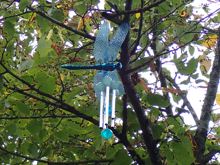
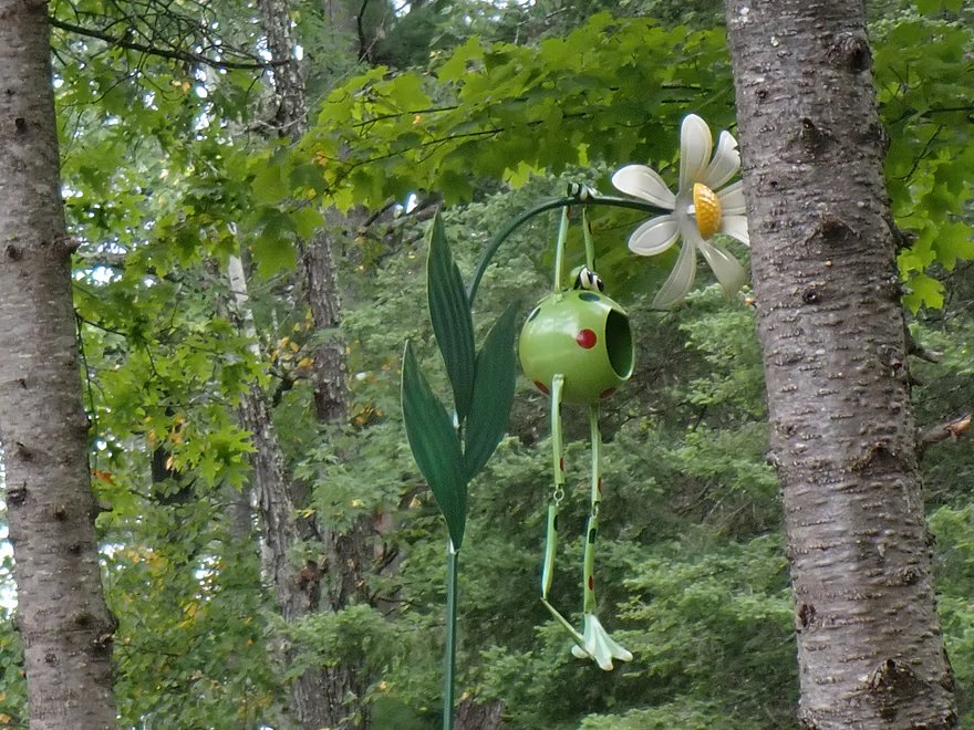
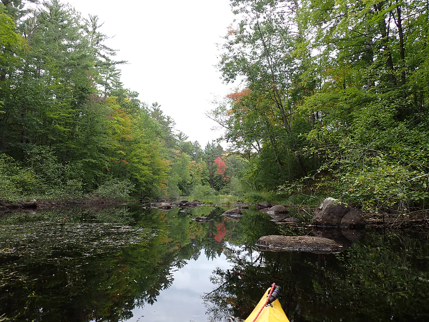
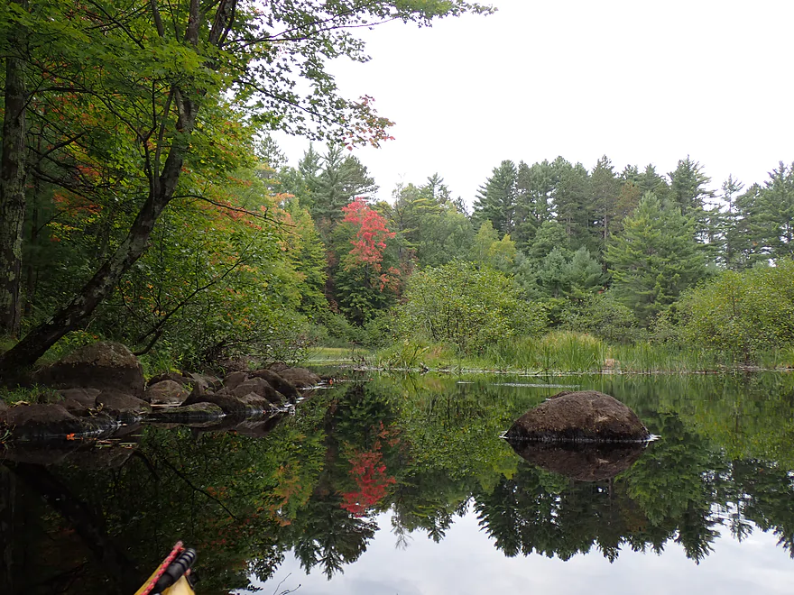
The further east I went, the more the channel slowed, widened and deepened as the Tomahawk dam slowly started to kick in. The tree lines though remained fantastic and often provided attractive reflections on the water. Somebody had hung small outdoor ornaments on this section. If you paddle this stretch, see if you can find them all…this should include a dragonfly, prayer wheel, wind chime, and heart. I know many paddlers might consider these tacky, but I thought they looked kind of cool.
Soon the river really started to widen and deepen, and I began to see a number of shoreline homes and pontoons, which struck me as odd. I hadn’t recalled seeing these on the maps I had studied. The plan was actually to turn off the Somo River and then head upstream on the Little Somo to reach my take-out. I assumed I had already turned onto the Little Somo River because of the subtle current I was paddling against.
I remember paddle author Rick Kark saying he had gotten lost doing this exact same route and had to backtrack, which had me worried. I booted up my phone, but the maps wouldn’t load. There was just one bar, which wasn’t enough…I was totally in the dark. Had I known cell service would have been this bad I would have packed my non-phone GPS.
I flagged down a passing pontoon and asked for directions. They were really nice and explained that I had already passed the Little Somo mouth. In fact I was almost two miles(!) downstream from it and was surprisingly close to Red Cloud Landing (an alternate trip I had considered). The slight “current” I had been paddling against was likely the wind blowing Lake Mohawksin back up into the Somo River.
I pondered ending the trip at Red Cloud, but my bike was at Somo Dam Road, so this would mean hitchhiking to get back to the car. Instead I thanked the pontoon crew and decided to backtrack paddle the two miles upstream to once again try to find the Little Somo mouth.
Eventually I found my Little Somo exit, which was basically a large marsh. I had mistaken it earlier for a side bay, which it wasn’t. Live and learn. It would be really helpful though to have a sign posted at the Little Somo mouth for paddlers (hint to any locals who might be reading this review).
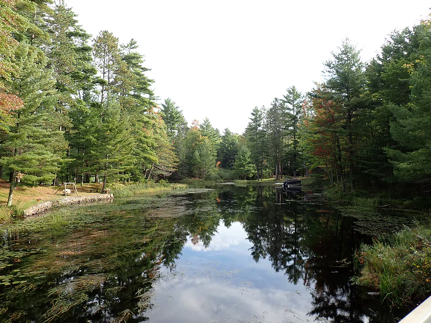
I guess it’s not the end of the world that I overshot my “off-ramp” as it allowed me to explore the last portion of the Somo River above the lakes. It wasn’t too bad. While there was development and a number of pontoon boats, most of the cabins were small and not too gaudy. Much of this part of the river is also protected by no-wake zones and the pine walls are incredible. All in all though, the Somo River upstream from the Little Somo confluence is still nicer and more scenic.
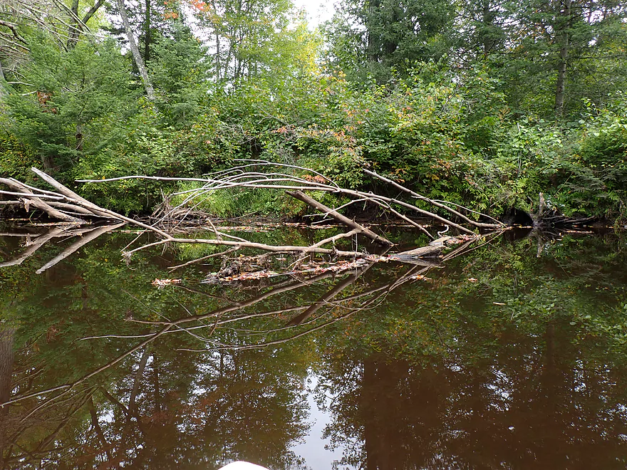
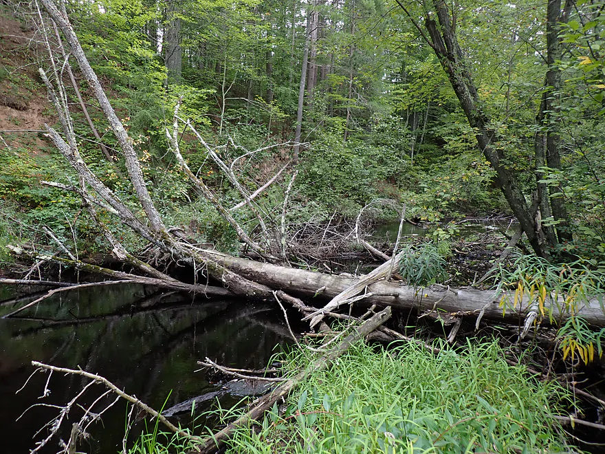
I headed upstream on the Little Somo which several people had warned me had major obstructions. The first warning was about the aquatic weeds, which may be an issue for motorboats , but were no problem for a kayak. The second issue was logjams. While there were a few downed trees on the “Big Somo”, these were easy to deal with…but the ones on the Little Somo were much more difficult. There was a serious ducker, one tricky hopper, and a major downed tree that required straddling a log to get over.
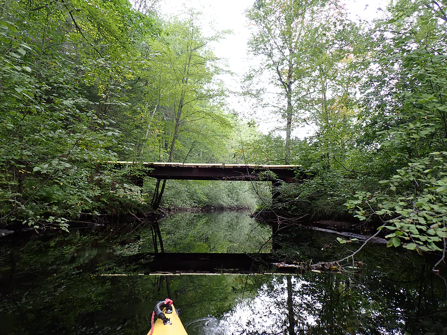
I soon passed an old dilapidated bridge and trail. I assume paddling authors Frank Piraino and Rick Kark had gotten out here to do a mega portage to Dam Road, but to me this would have been crazy. Not only was the trail likely private, but it would have required at least a mile of overland portaging.
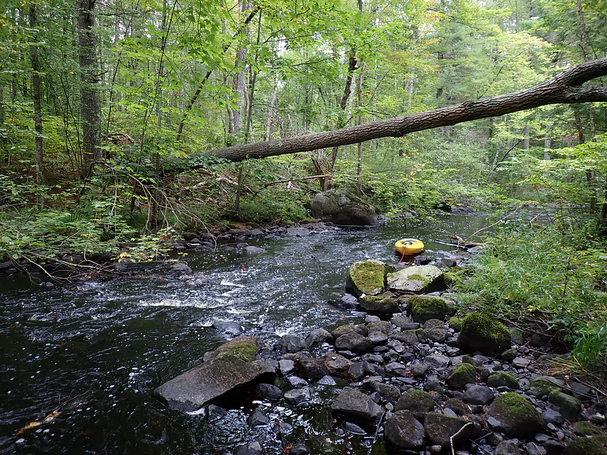
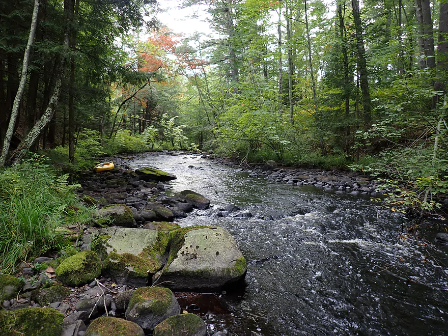
The trail bridge marked the start of a rocky stretch and gorge, which, I was told, marked the point at which there wouldn’t be any more logjams (which was mostly true). The gorge had light rapids and inconveniently placed rocks that would have made downstream paddling difficult let alone upstream paddling.
Thankfully I had packed my rope and aquatic boots, so I simply waded upstream. This was doable but a bit tricky as some of the rocks were pretty slippery and the gorge continued for about a half mile. I enjoyed the scenery and the experience of wading my boat up such a scenic creek, but I assume most paddlers would have zero tolerance for any trip that required upstream wading while lugging a boat behind them.
Early in the day I had been annoyed at constantly hearing all the Harleys rumble in the distance (there was a special event going on), but now I was grateful as it was late in the day and the Harley rumbles were the sonar that let me know how close I was to my take out.
Finally the river opened up and I could finally resume some upstream paddling. Aquatic weed growth was surprisingly thick, and I suspect there was nutrient pollution entering the Little Somo (perhaps leaky septic lines from the Somo Lake cabins). I finally reached Somo Dam Road. Below the bridge was a one-foot low-head dam which earlier I had pondered portaging to lengthen my trip and to explore more of the Little Somo. But I was tired from my earlier “detour” and it was getting late, so I called it a day.
In summary, this trip was a mixed bag. The first part on the (big) Somo was really nice. This despite it never being really big, nor fast, and having a few minor logjams. This was because the conifers were fantastic. Again this was the best “pine paddle” I’ve ever done. The second part of the trip (east/downriver of the Little Somo confluence) was an accident from my getting lost. This stretch had more development and wasn’t as interesting, but the wooded banks were still terrific. The third part was my upstream paddle on the Little Somo. This river is incredibly scenic (perhaps more so than the Big Somo), but the major logjams, and somewhat unnavigable rocky gorge will be a turn-off for most.
What I suggest is to launch where I did (Zenith Tower Road), but instead of heading up the Little Somo, just keep paddling east to Red Cloud Landing. This would be a nice trip, and if you wanted to you could still paddle upstream on the Little Somo as a side excursion.
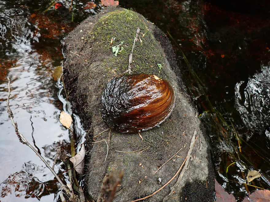
Sights included deer, dragonflies, clams, one beaver dam, one red-tail, many painted turtles, and huge swarms of whirligigs. Somebody posted a sign on the shoreline stating a wolf had been seen there. Not sure why they would do this? A guy I talked to said he had an encounter with an agitated black bear. But I wonder if this was because his dog had treed it and she had cubs? Regardless, it’s not a bad idea to have bear spray on you.
Special thanks to Wicked Dark Photography for allowing me to post several of their Somo River images on this review. Also thanks again to the boaters who provided me with directions when my maps failed. Lastly, thanks to paddling reviewers Frank Piraino and Rick Kark for guides for this stretch of river which proved helpful.
Zenith Tower Road: This is a fantastic bridge access. There is nice flat shoulder parking SE of the bridge and a sandy trail leads down to the water where it’s easy to launch from a sandbar.
Alternate Put-ins:
- Pine Tree Lane (5.6 miles downstream from Zenith Tower): Author Frank Piraino did this bonus leg. He spoke highly of it and said it had some fun rapids and boulder gardens. But some of the rapids will be on the more difficult side (Class 2-3).
Some Dam Road: Getting out here isn’t too bad. There is a one-foot am under the bridge that blocks upstream access, but you can take out on the left bank where a faint fishing path leads up to the road. Only downside is you have to lug your boat over and around a guard rail, but it’s not too horrible. In hindsight, I think I could have parked the car closer and did less lugging if I chose the southeast bank instead. Again…most won’t get here, because to reach Somo Dam Road from the Somo River requires two miles of upstream paddling on the Little Somo River. The marsh stretch is easy…but there is a half-mile rocky rocky gorge with light rapids that is tricky to wade up. Also there are several logjams that have to be portaged. Only those that are very adventurous should try paddling upstream to Somo Dam Road.
Alternate Take-outs:
- Red Cloud Landing (6.1 miles downstream from Zenith Tower Road): I didn’t scout this, but I assume it is a suitable public landing. I also assume most paddlers will take out here as it will mean no upstream paddling. The leg after the Little Somo is much wider, slower, more developed, and slightly less interesting. The wooded banks though are still attractive.
Bike Shuttle – Somo Dam Road Drive to Zenith Tower Road: 1.2 miles with 16′ of ascent. An absurdly easy bike shuttle…heck, a hiking shuttle might be viable. The only reason not one but three paddle reviewers (Frank, Rick and myself) were crazy enough to paddle upstream on the Little Somo was because of this tantalizingly easy shuttle.
Rapids and Current:
- Somo Upstream Leg: Outside of a few micro-rapids there was extremely little current.
- Little Somo Leg: The marshy leg has almost no current. But upstream of the bridge there is a half-mile gorge with a number of rapids. In shallow water it will have to be waded. In high water this could mean Class 2+ rapids and may not be possible to wade upstream on.
- Combined River Leg: Virtually no current.
Logjams:
- Somo Upstream Leg: I had to portage a logjam just downstream from the put-in (easy), and I had to squeak past a few downed trees (also easy). A beaver dam had to be portaged (easy).
- Little Somo Leg: At the end of the marsh are two downed trees…one I ducked under and the other I hopped over. This was a bit difficult. Then by the bridge there is a massive logjam. The shoreline was congested here, so I climbed over the tree itself, which was medium difficult.
- Combined River Leg: None…it’s clear sailing past the Little Somo mouth.
Dams:
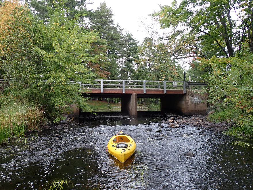
- Somo Dam Drive: There is a one-foot dam directly under the bridge. Because it was upstream from my take-out it didn’t affect me. To get around the dam, you would have to portage past the guard rail and over the road…not fun. If you’re coming from the upstream side, it’s possible you could hop over the dam. But be careful and scout this beforehand. There is some recirculating current at the base.
- Tomahawk Dam: Technically this is a Wisconsin River dam, but it is significant enough that it actually backs up a sizable portion of the Somo River. The Somo River starts to become impounded about a half mile upstream from the Little Somo Mouth.
Getting Lost: The current is very slow, cell phone reception is very bad, and there are a number of deceptive side bays and channels. Getting lost is very easy to do (paddling author Rick Kark also got lost). Definitely study the maps ahead of time and have a navigation system setup that doesn’t depend on cell reception.
Gauge: Spirit River @ Spirit Falls
Trip Depth: 13.5 CFS or 1.41′
Navigability Estimates: The Spirit River is next door to the Somo and of a similar size so I assume it should be a decent analog gauge. The following are just rough estimates.
- Somo River (above Little Somo Confluence):
- < 10 CFS: Likely too shallow.
- 10-20 CFS: Low depth but plenty navigable. Might have to wade 1 or 2 spots.
- 21-40 CFS: Average to high depth. Should be navigable…but a few narrow sections might be unpleasant and tricky.
- 41-65 CFS: Very high depth. Maybe only suitable for advanced paddlers.
- 66+ CFS: Depth after a big rain. I advise staying off this portion during these times.
- Somo River (below Little Somo Confluence): Always navigable because it’s backfilled by the Tomahawk Dam.
- Little Somo River (Somo Dam Road to Confluence):
- < 20 CFS: The half-mile gorge will not be runnable, and will have to be waded.
- 21-40 CFS: Gorge will have a series of Class 2+ rapids. Some might be tricky. Wading upstream at this depth likely won’t be viable.
- 41-70 CFS: Gorge likely will have strong whitewater with perhaps Class 3 rapids. There are some constrictions which could be tricky to get around.
- 71+ CFS: Maybe too high for even expert whitewater paddlers.
Click here to see an overview map of the Somo River (plus Little Somo River).
Somo River:
- Upstream from Hwy 8: I think the river upstream from here would be too small and challenging to even consider floating.
- Hwy 8 to W. Circle Drive: 1.6 miles. Creek is ultra narrow and shallow. Shrubs and weeds may seriously constrict the channel at times.
- W. Circle Drive to E. Circle Road: 2.5 miles. Multiple rapids can be seen from satellite view so this might be a challenging stretch.
- E. Circle Road to Hwy T: 2.8 miles. This is relatively open compared to downstream legs, but is still pretty wooded. There is a dam that will have to be portaged.
- Hwy T to Pine Tree Lane: 6.2 miles. Little is known about this stretch. I assume it is nice but has some logjams. There might be strong rapids and some nice geology…not sure though.
- Pine Tree Lane to Zenith Tower Road: 5.6 miles. Frank Piraino calls this an outstanding stretch through remote woods with fun rapids and boulder gardens. It does include some difficult class 2-3 rapids though.
- Zenith Tower Road to Red Cloud Landing: 6.2 miles.
- Zenith Tower Road to Mouth of Little Somo River: 3.8 miles. Attractive stretch with fantastic pine trees. Channel is slow and contains some sandbars. There are a few logjams, but they were easy to get around.
- Little Somo River Mouth to Red Cloud Landing: 2.4 miles. Current completely dies and channel widens. There is some development and pontoon traffic, but it’s mostly not too obtrusive and much of this area is protected by no-wake rules. The conifers along the bank here are amazing.
- Red Cloud Landing to Sarah Park/Wisconsin River: 2.9 miles. This is mostly a lake paddle with heavily developed shorelines. I doubt it is that interesting and motor traffic could be heavy. There are multiple take-out options close to Tomahawk.
Little Somo River:
- Upstream from Hwy 8: The upper legs might be navigable…I don’t know. Satellite view suggests alder shrubs seal in the channel at times, so I don’t advise risking it.
- Hwy 8 to West Bay Drive Ramp: 3.5 miles. This is a relatively open and shrubby section. Aquatic weeds may be problematic and at times might completely seal in the channel.
- West Bay Drive Ramp to Tomahawk Lodge & Resort: 2.6 miles. I presume this is mostly a generic Northwoods lake paddle with some motorboat traffic and shoreline development. I doubt it’s that interesting, but I could be wrong. The landing at Tomahawk Lodge is private. You must get their permission to use it (1-715-453-1113).
- Tomahawk Lodge & Resort to Somo Dam Drive: 1.8 miles. This involves some lake paddling with shoreline development. But the river portion is extremely scenic with fantastic pines. Here is a cool streetview image. The landing at Tomahawk Lodge is private. You must get their permission to use it (1-715-453-1113).
- Somo Dam Drive to Mouth on Somo River: 1.5 miles. The south half is a slow scenic marsh with a few logjams. The north half flows through an attractive rocky gorge with rapids. Adventurous paddlers from the Somo can pull their boats upstream to reach Somo Dam Road, but it can take some effort to portage/wade about a half mile of rocks and rapids. In high water the rapids might be difficult.










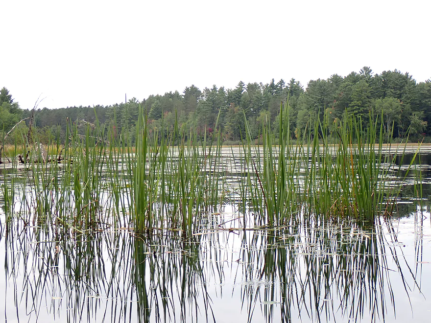
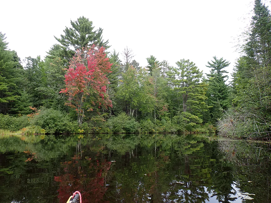



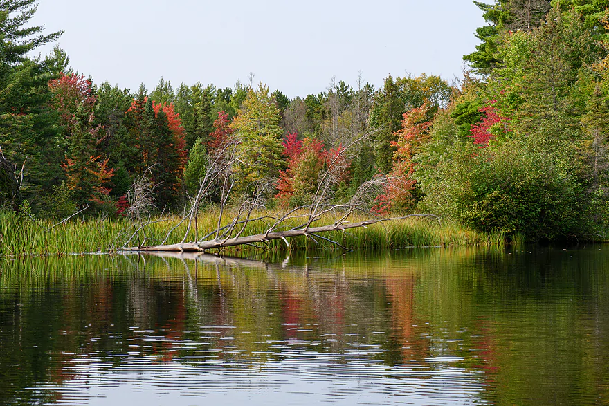




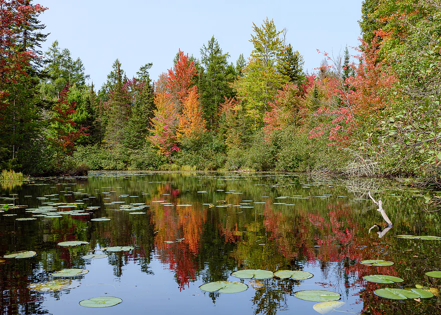
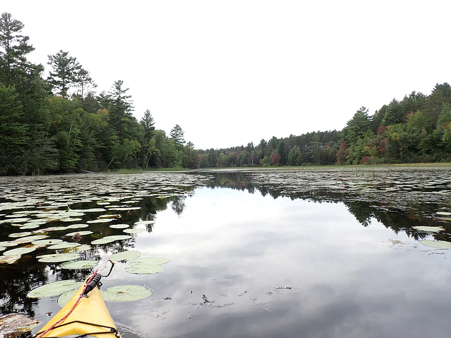
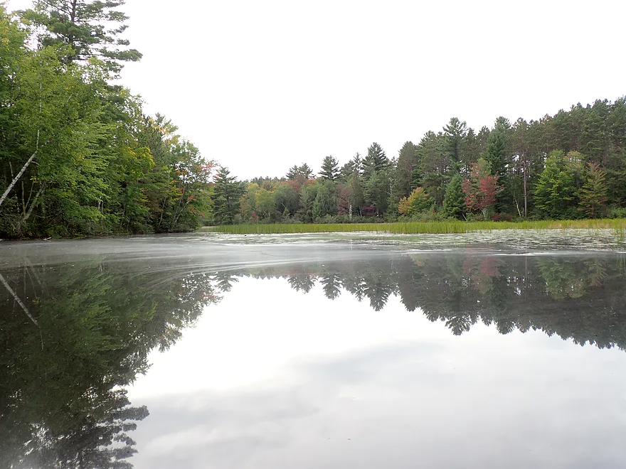

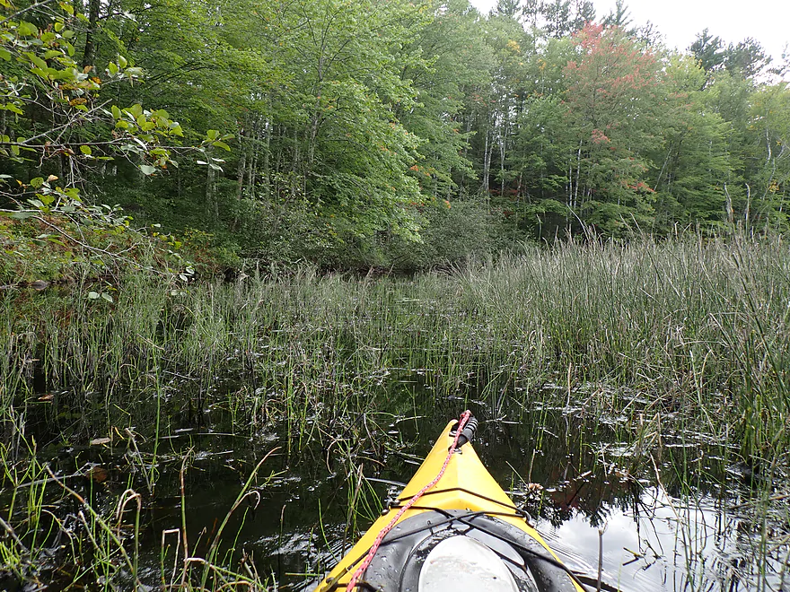
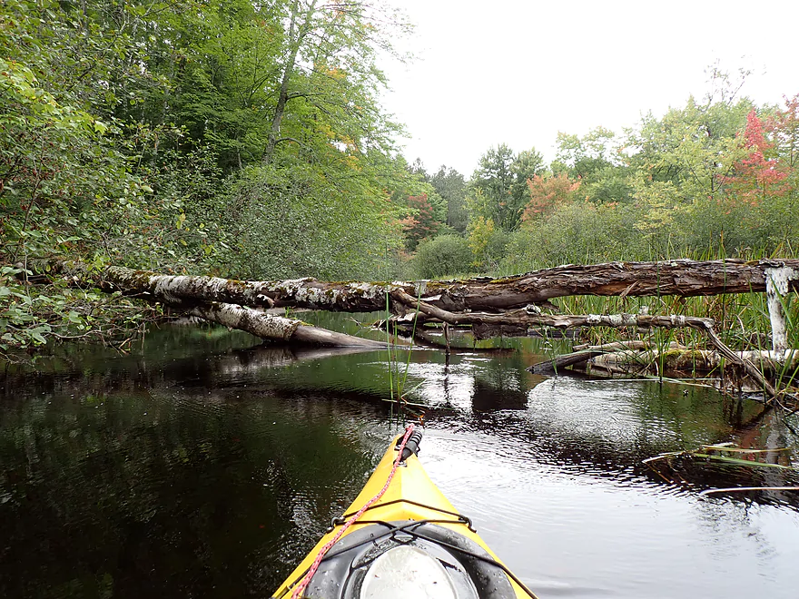





Looks like a fun trip! I always put in at Red Cloud and go up, but there are lots of little hidden inlets and backwaters that I spend a lot of time in. Two of the fall photos of mine you used were in one behind that big dead tree shot you also took a shot of. I’ve longed to go beyond that first big log jam on the Little Somo, but I’ve never been able to get past it. Every year I go look at it to see if anything has changed to make it possible without getting out, but as you can see it’s still a pain. Was glad to see your pictures though. The bridge looks fairly cool, but yeah, it’s probably private. The Somo is one of my favorite rivers even though it’s built on for a little bit. The Spirit is a bit more wild, I think, once you get above the reservoir.
Oh and the motorcycle thing is a yearly event in Tomahawk – The Fall Ride and it’s a big Harley Davidson thing that lasts a week. It used to be just basically a weekend and people clustered around the factory, but now it takes over the town and beyond. Glad the roar was useful for you.
Cheers,
Kris