Rock River – Kaul Park


The Rock has a reputation as being a slow, wide, developed, and boring river to paddle. But really, that’s mostly the Lower Rock. The Upper Rock, in contrast (specifically between Hustisford and Watertown), has a number of nice stretches. Granted, none are five star, but they are pleasant and frequently overlooked by the general paddling community despite the close proximity to Milwaukee.
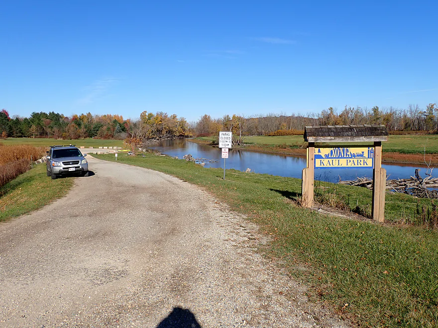
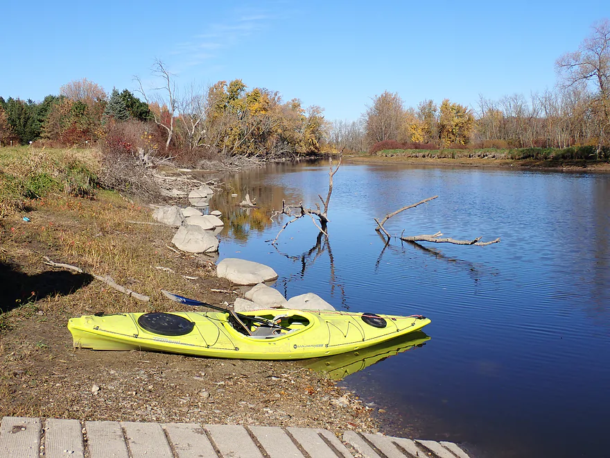
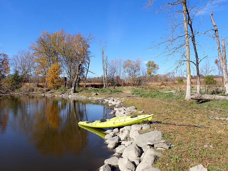
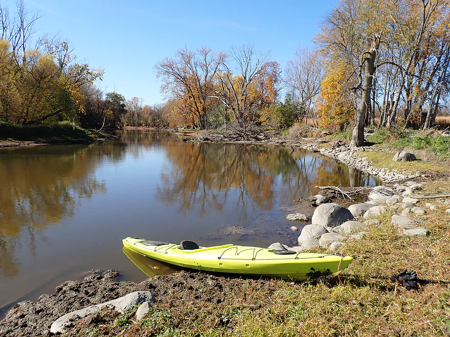
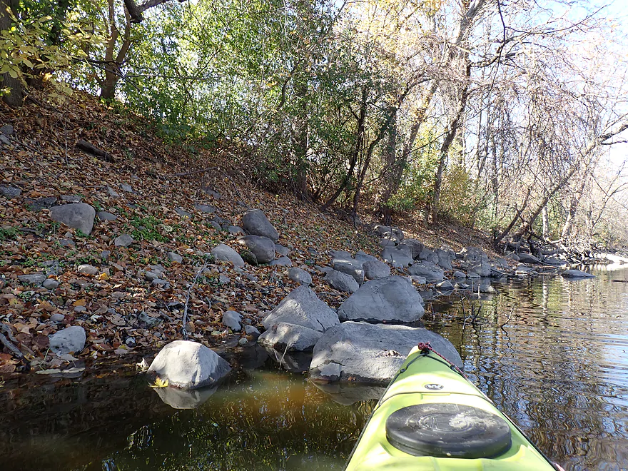
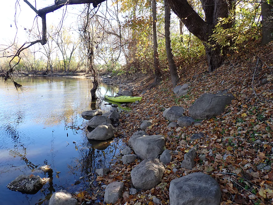
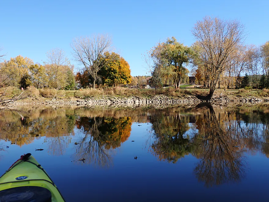
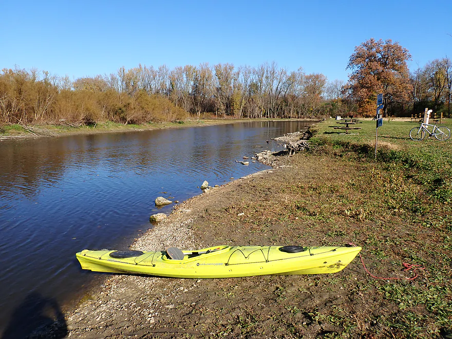
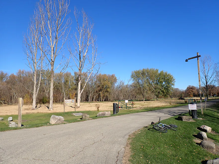
For this trip the plan was to launch at Kaul Park (the end point for last year’s trip) and take out at Kanow Park. Kaul Park, while mostly a small boat ramp, was a terrific kayak put-in. It was also scenic, as attractive boulders lined the shore and fall color backdropped the wayside.
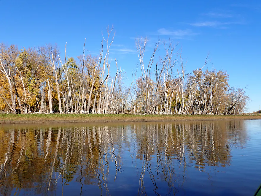
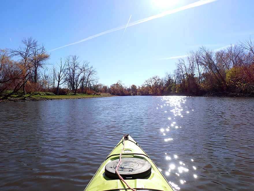
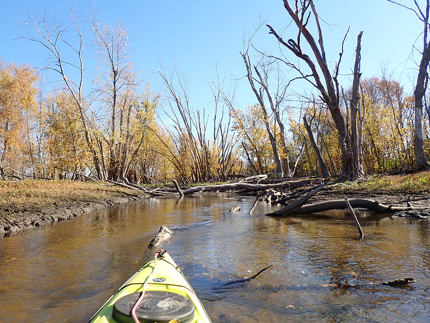
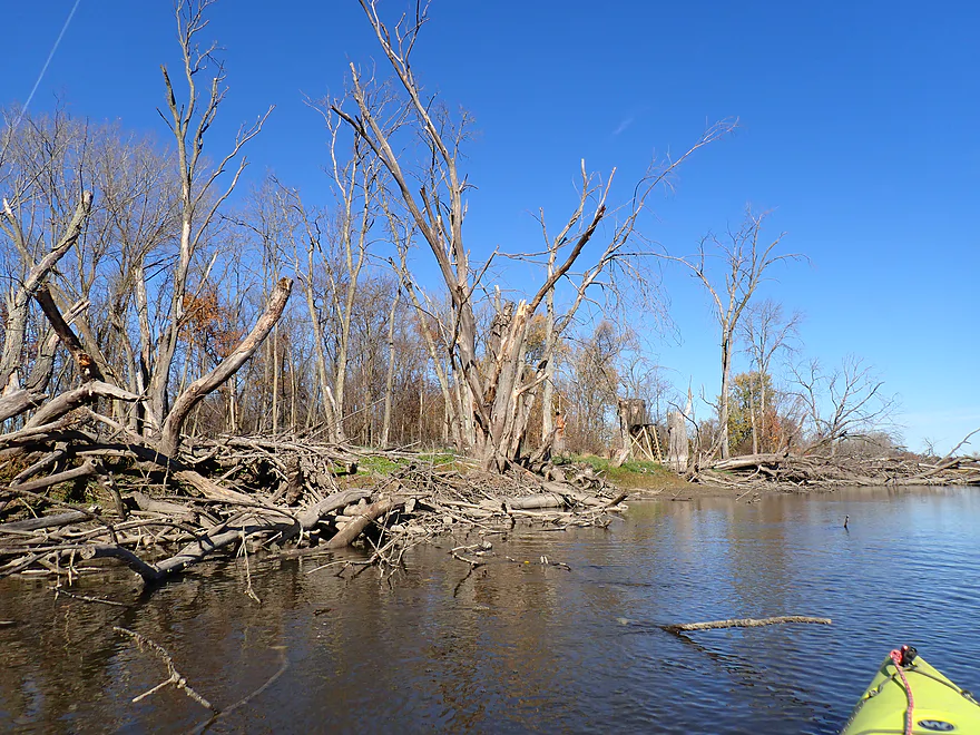
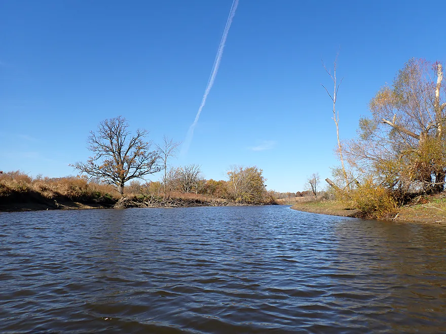
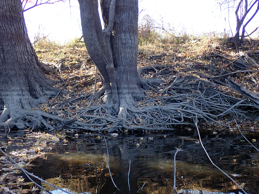
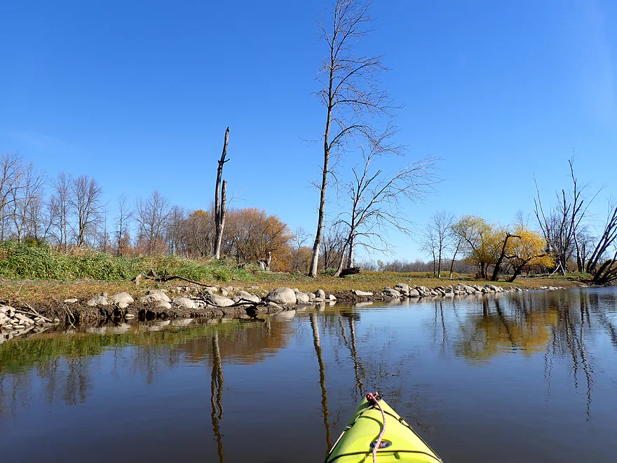
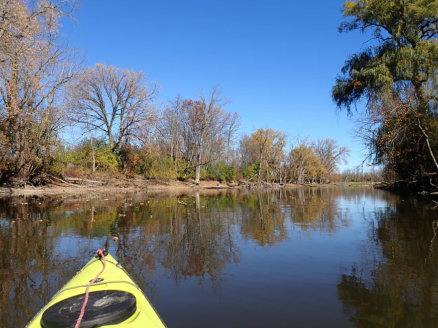
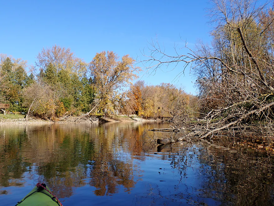
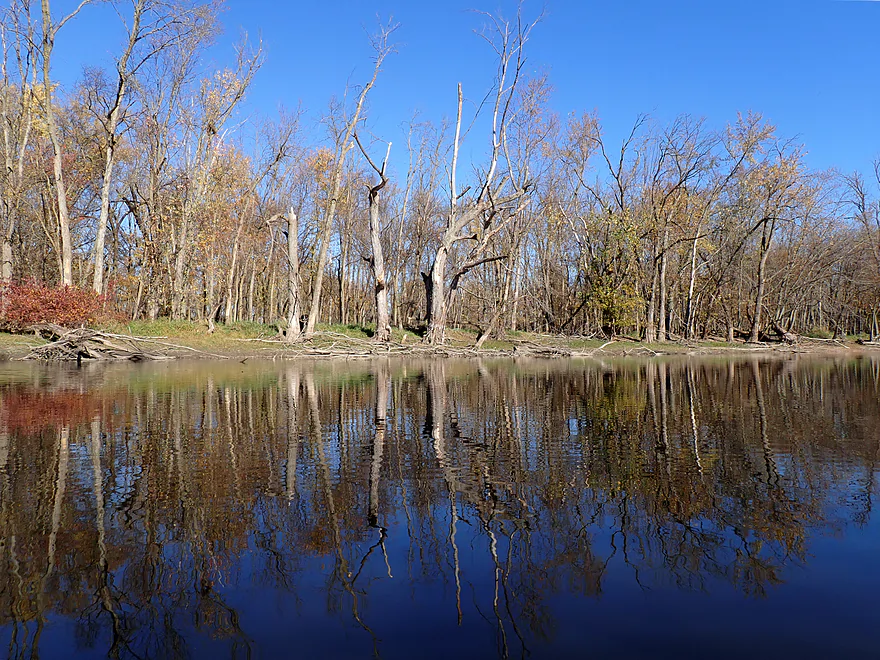
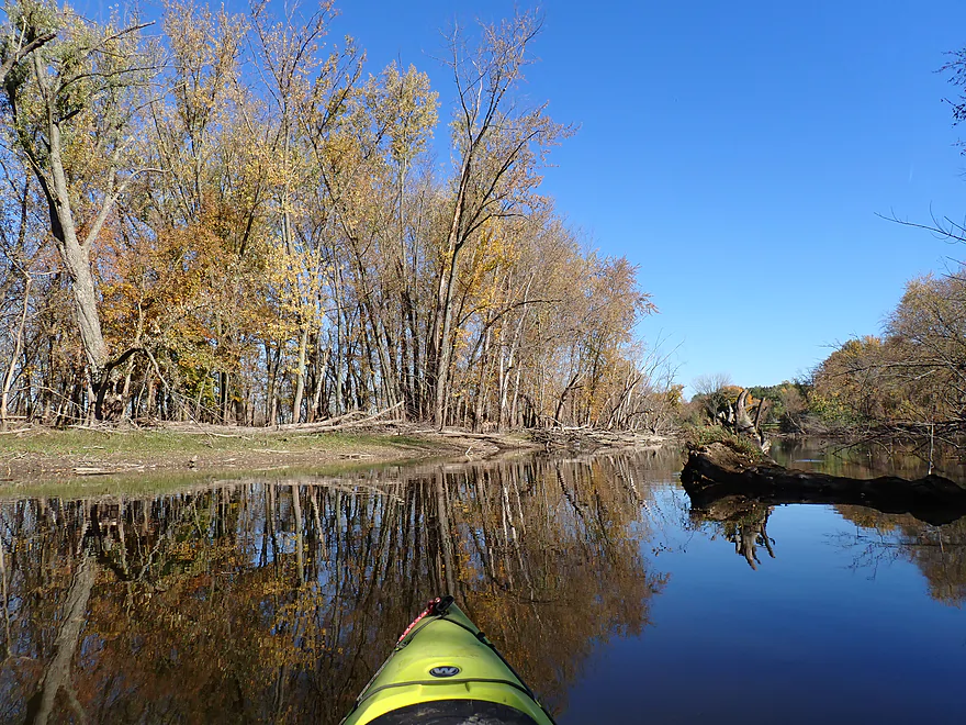
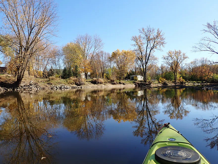
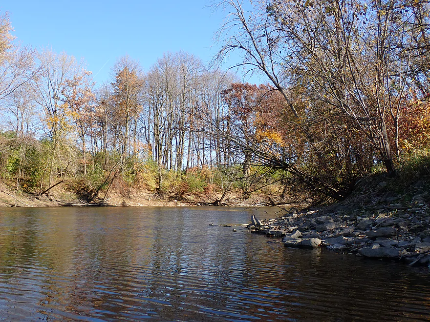
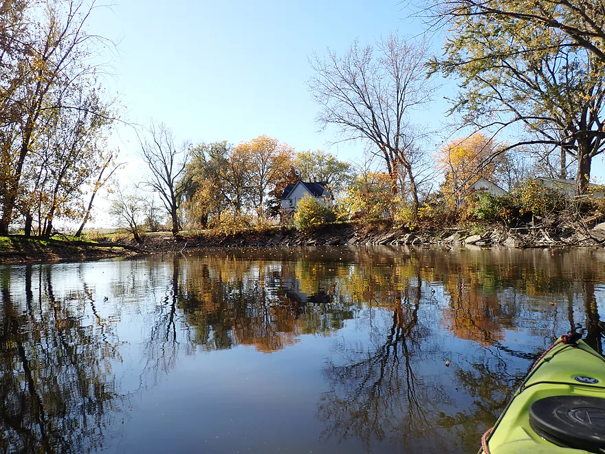
The river, to start with, was somewhat nondescript. The channel was slow, deep, turbid, and relatively wide. The banks were mostly a mix of farmland and a thin layer of trees, many of which were dead. In fact, the sheer number of dead trees on the Upper Rock was remarkable. The culprits are likely flooding and the emerald ash borer. It’s a tragedy so many ash trees have been killed by these insects in the last decade. In fall ash trees turn an incredible bright gold…certain sections of the Rock, Bark and other Southeastern Wisconsin rivers used to be lined with “gold walls” during October…now that is all gone, never to return.
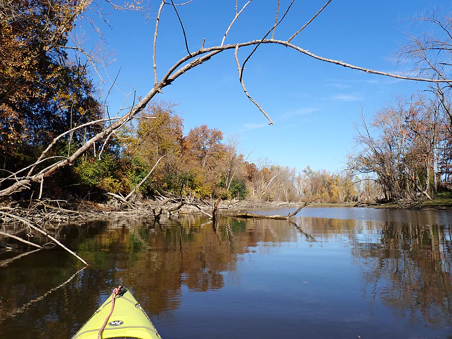
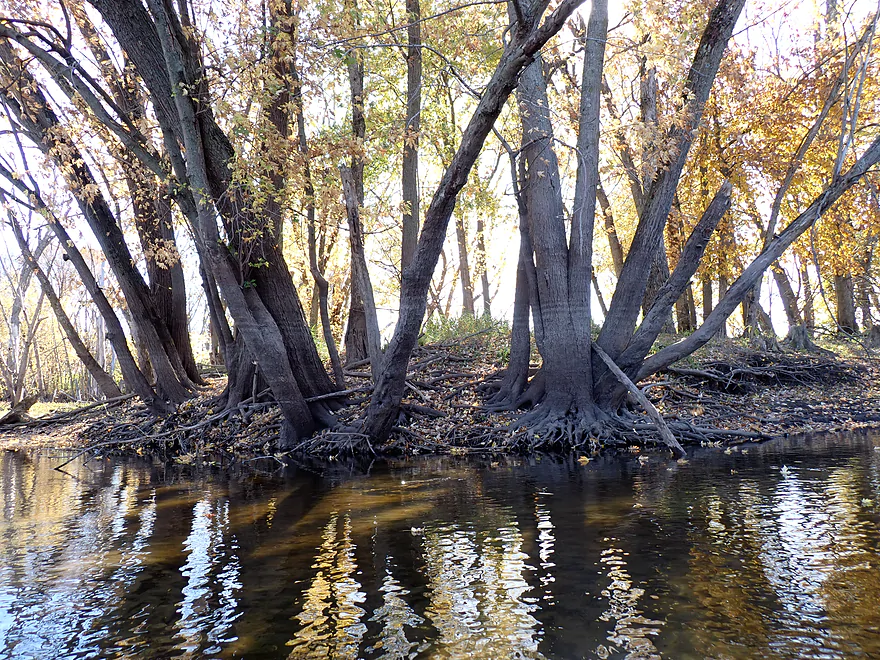
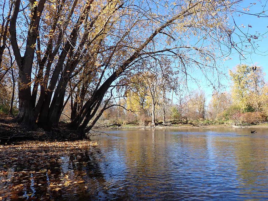
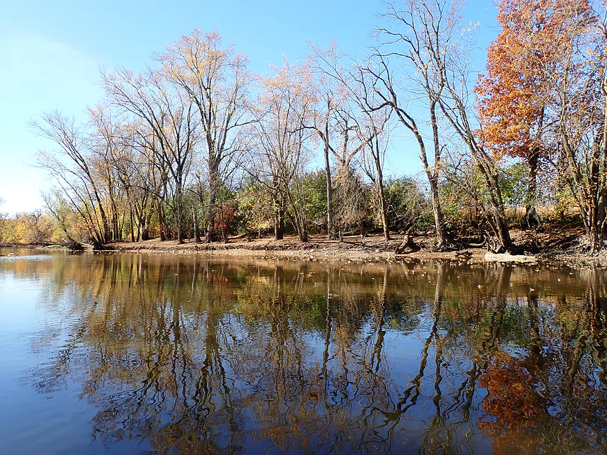
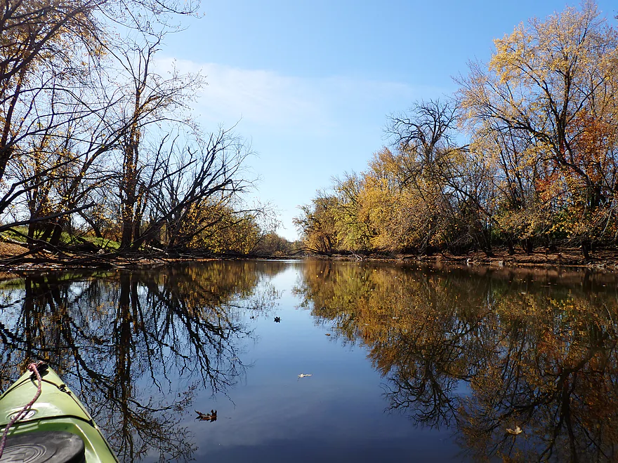
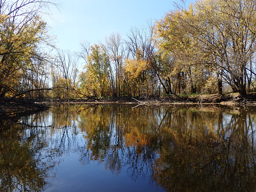
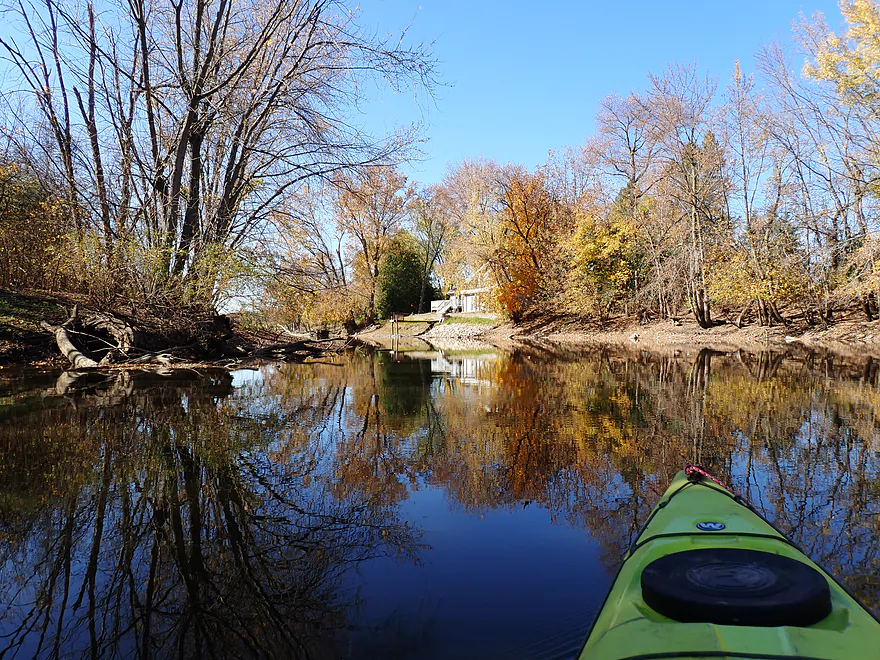
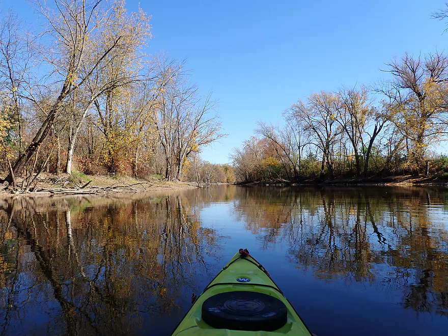
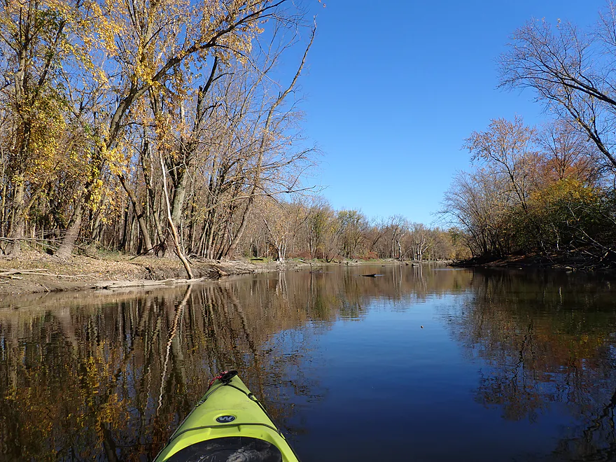
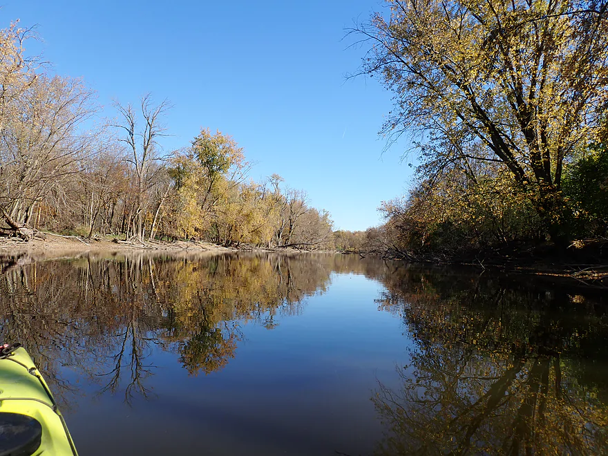
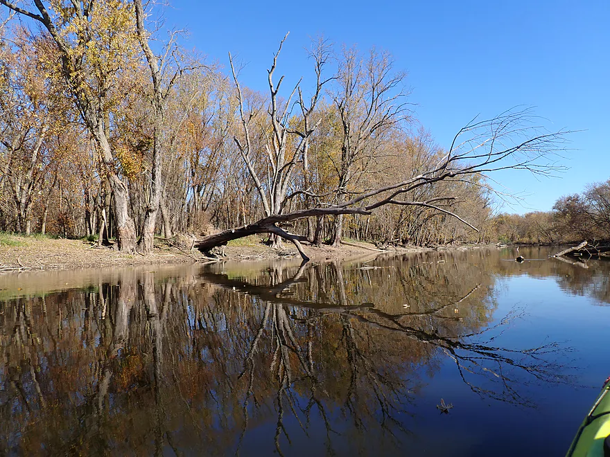
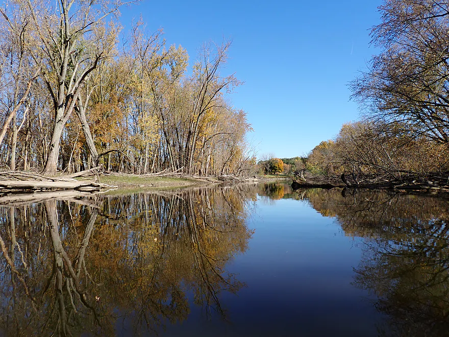
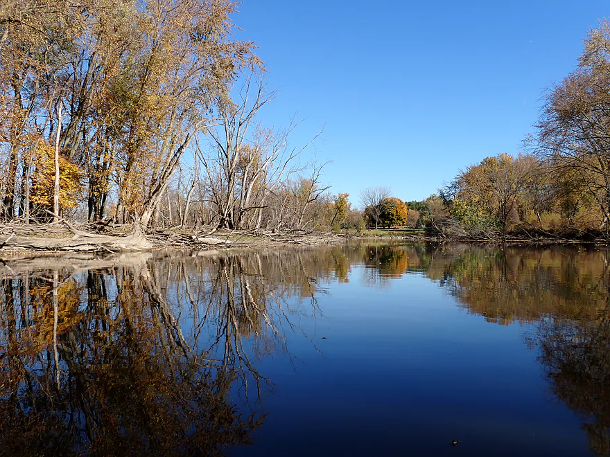
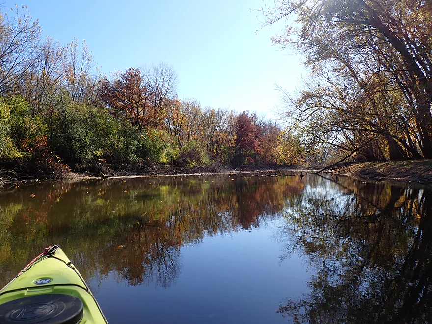
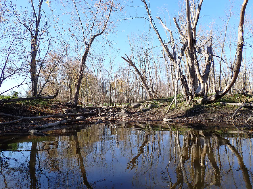
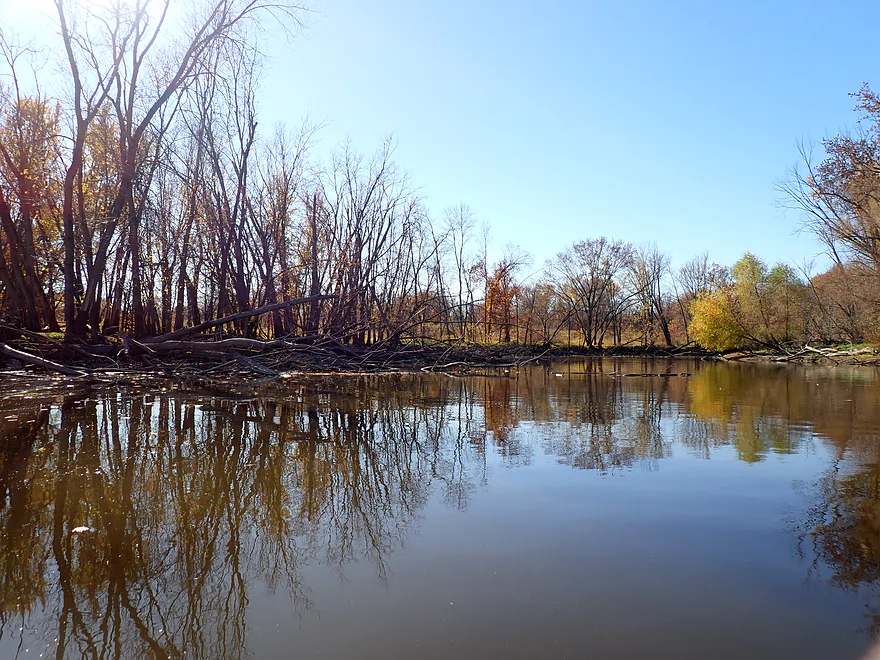
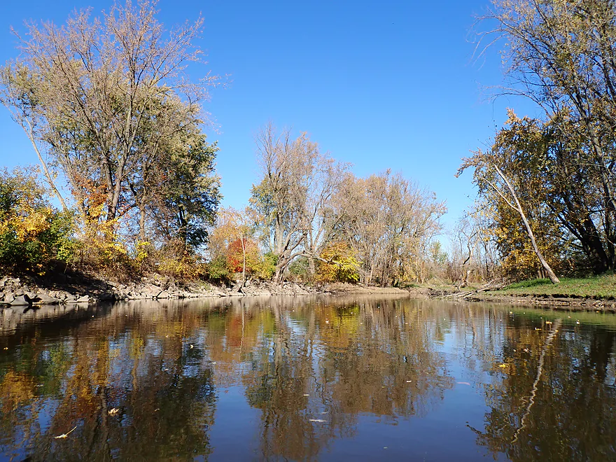
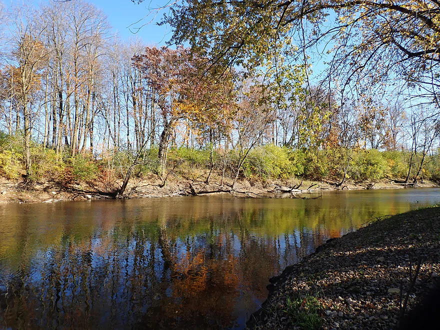
Despite all this and some muddy banks, the scenery was surprisingly good. The naked tree skeletons reflected incredible images off the water and what remained of the living trees provided good fall color. In fact, of all the fall paddles I’ve done this year (and I stretched the season by paddling up north in September), this was my favorite.
Soon the Ashippun River joined the Rock from the east. It looked scenic and inviting, with great water clarity, but a large logjam visible just upstream from the mouth reminded me why I don’t do more trips on the Ashippun.
The Upper Rock is big enough for small motorboats and I did see two, but they are somewhat restricted by occasional deadfall. It’s not a problem for a kayak to slip through, but these “gates” limit how far motorboats can travel from a landing. IMO this is a good thing (for paddlers) as motorboats can be loud and disruptful to a peaceful paddle. In a few instances, chainsaw work had been done to open up the channel for boat traffic.
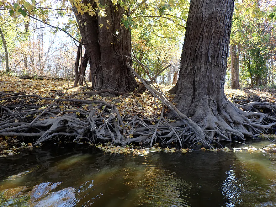
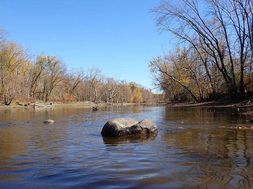
This part of the state is the drumlin capital of the world. If you view a map in relief mode you will see an incredible series of football shaped hills all pointing south along the Rock River. I had hoped to see these cool glacial hills from the river, but I didn’t see much. Although about halfway into the trip I did see a large drumlin in the distance which had some great fall color. The hill didn’t extend completely to the river, but its base was enough to redirect the river east. Here the west bank featured a terrific line of boulders. The Rock River often doesn’t live up to its name, but it did in several spots on this trip (gifts from the last Ice Age).
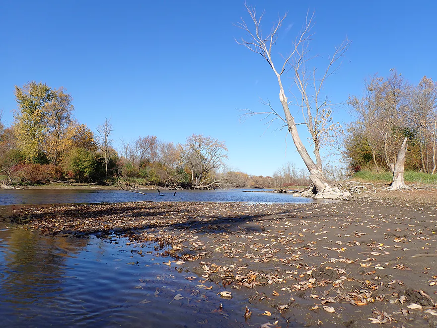
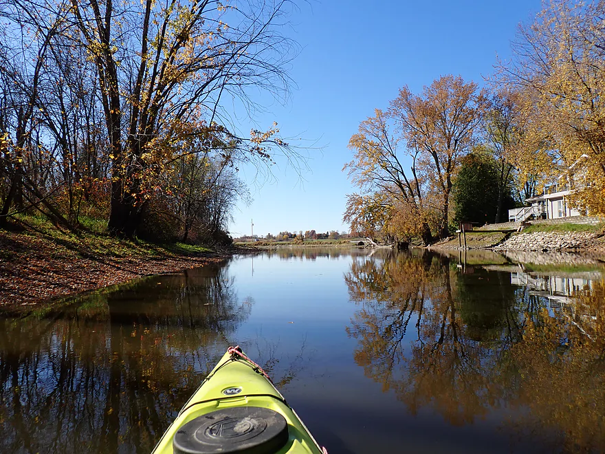
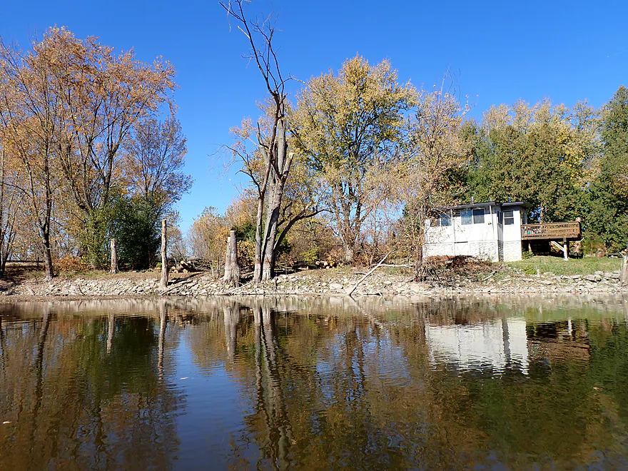
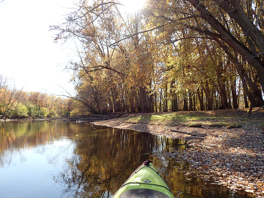
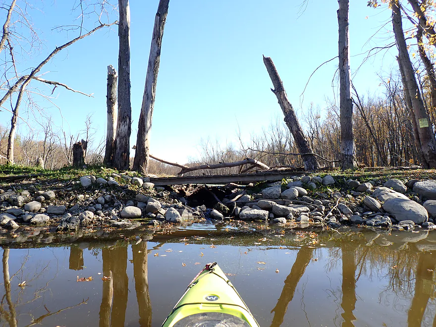
The last few miles were pleasant and photogenic. Floating leaves littered the channel while turning trees gracefully leaned over the river and provided terrific reflections. Water levels were relatively low, which gave the river more character (I don’t think it’s that scenic when high). This part of the Rock River had experienced major floods in early summer and the high water lines were often visible on the trees and located surprisingly high up. In fact, the high water line seemed higher than the bottoms of some of the few houses I passed. Typically there are side sloughs on this stretch, but because of the relatively low water (common for October), they were sealed off and inaccessible. Occasionally you would see a rock dam with water trickling through…the only evidence remaining of previously connected sloughs.
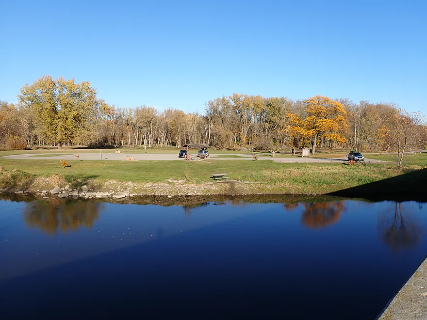
I ended the trip at Kanow Park. It’s a great take-out option and very scenic. All in all, this was a surprisingly nice trip which I’ll award four stars. This might be a bit of a reach (in reality it’s more likely a 3.5 star trip)…but I really liked its peaceful nature and subtle but photogenic scenery. I suspect if it hadn’t been for the fall color and low water, which revealed the glacial boulders, I would not have appreciated the trip as much.
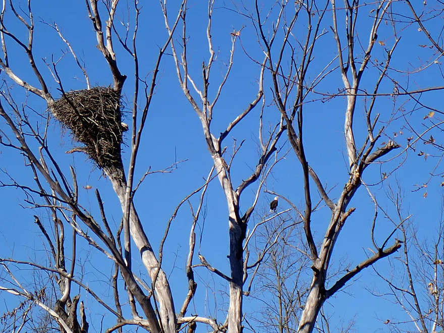
Sights (and sounds) included cranes, hawks, great blue herons, turtles, and a number of large flopping fish (likely carp). The highlight was a massive eagle nest (and eagle) I saw in the second half of the trip.
Kaul Park: This is in essence a small boat landing, but it works well for launching a kayak. Be advised there are no outhouses, you can only park west of the access drive, and the area is under video camera surveillance.
Alt Put-ins:
- Harnischfeger Park (5.1 miles upstream from Kaul Park): Harnischfeger Park is a nice access. The leg above Kaul Park is pleasant, but not as scenic as the section below it.
Kanow Park: The park was really nice, scenic, an outhouse is available, and the launch area was great. The only downside is park hours are limited and there is an Illinois-style auto-locking gate. If you were to come back from a kayak trip very late, you could in theory find yourself locked in the park. The park should be open between 5:00 am and 10:00 pm or a half hour before sunrise to a half hour after sunrise. It may also be gated shut at other times, such as during “high water”. For more info contact Jefferson County Parks.
Alt Take-outs:
- Wayside Park/Hwy 16 (0.9 miles downstream from Kanow): This is also a very good public access with good parking and outhouses. But note: this launch is more for motorboats, while Kanow Park can only launch kayaks. Kanow is more secluded and scenic and I assume most will take-out there…but the mile leg between the two parks is scenic.
Bike Shuttle – Kanow Park to Kaul Park: 3.7 miles with 66′ of ascent. This is a scenic rural bike shuttle with occasional vistas of area drumlins and the Rock River. The only downside was a mile of gravel…but it’s mostly packed down and manageable.
Logjams/Dams: None…this is a very safe/easy river.
Wind: There wasn’t much wind on my trip (which contributed to the nice reflections). But this is an open river so wind can be an issue. Be sure to monitor the weather forecast and avoid trips which involve a strong headwind.
Current/Rapids: Most of the trip was very slow with almost no current.
Nearest Gauge – Rock River @ Watertown: Trip was done at 184 CFS or 1.44′. This gauge is downstream from several dams so may not be perfectly representative. The Upper Rock can be paddled both when low and high…but it is most attractive/scenic when low.
- < 100 CFS: This would be relatively low but still plenty navigable. This is one of the more drought resistant water trails in Southern Wisconsin.
- 101-200 CFS: Low depth but plenty navigable.
- 201-300 CFS: Slightly below average, but a good depth.
- 301-400 CFS: An average depth.
- 401-500 CFS: A higher depth, but still suitable for paddling.
- 501-800 CFS: This is a high depth, but the river should still be fine for kayaking.
- 801+ CFS: Maybe too high for enjoyable paddling?
Detailed Overview
East Branch:
- Upstream of Hillcrest Drive: I believe these portions are too congested to paddle.
- Hillcrest Drive to Hwy DW: 4.1 miles.
- Hillcrest Drive to Riveredge Park: 0.9 miles. Scenic stretch through the outskirts of Allenton with good clarity. However, there are two major logjams to portage and several minor logjams to squeak past.
- Riveredge Park to Hwy DW: 2.7 miles. An open stretch through wetgrass and a state natural area. One logjam needs to be portaged.
- Hwy DW to Hwy D: 5.5 miles. Outside of one nasty logjam cluster, this is a pretty open creek paddle through a protected wildlife area that might be decent.
- Hwy D Wayside to N. Pole Rd. Launch: 7.3 miles. A good wetland paddle prospect through Theresa Marsh. Maybe 1-2 downed trees on the upper part.
- Kohlsville River: Note, the Kohlsville River joins the East Branch here, but it seems too congested with downed trees to be feasible for paddling.
- N. Pole Rd to Gill Rd(East): 6.0 miles.
- N. Pole Rd Landing to River Edge Park: 1.3 miles. A slow, open, and marshy channel. Nice though.
- River Edge Park to Rock River Street/Dam: 0.5 miles. A nice town paddle through the community of Theresa. One dam to portage.
- Rock River Street/Dam to Hwy AY: 3.5 miles. One of my favorite stretches on the entire Rock River. While shallow in spots, it is scenic with nice woods, small boulder gardens and multiple light rapids.
- Hwy AY to Gill Road(East): 0.7 miles. A brief wooded stretch that is a nice paddle.
- Gill Road(East) to Hwy 67/Dam: 8.3 miles.
- Gill Road(East) to McArthur Road/Fink Creek: 4.7 miles. Starts boring, weedy, and slow, but gets nice with clear water and rocks later on. Gill Road(West) may be a viable halfway access.
- McArthur Road to Hwy 67/Dam: 3.6 miles. A less interesting paddle through a flowage and downtown Mayville with numerous alt take-outs.
- Hwy 67/Dam to Green Head Road Ramp: 6.4 miles.
- Hwy 67 to Hwy Y/Ziegler Park: 1.9 miles. One of the best paddling stretches on the entire Rock River with good current and small boulder gardens.
- Hwy Y to Hwy TW/Kekoskee Pond Ramp: 1.9 miles. A good stretch that includes a little bit of flowage paddling.
- Hwy TW to Green Head Road Ramp: 2.6 miles. An ok stretch as the river really slows and starts to turn into marsh.
- Green Head Road to N. Nebraska St. Ramp: 10.0 miles. The most popular route through Horicon Marsh. Known for its waterfowl.
South Branch:
- Upstream of E. Rock River Rd.: I suspect downed trees are too much of an issue for this to be navigable.
- E. Rock River Road to Hwy 49: 1.6 miles. Perhaps a cluster of downed trees in the middle and an electric fence upstream of Hwy 49.
- Hwy 49 to Waupun Park: 1.7 miles. Hwy 49 is not ideal for launching, but should be doable. A good prospect mostly through a golf course. Maybe 2 logjams?
- Waupun Park to E. Waupun Road: 7.2 miles. A good section.
- Waupun Park to Tanner Park: 3.1 miles. Great section though downtown Waupun. Alt access at Pine Street Park, Meadow View Park and Harris Mill Park.
- Tanner Park to Roadside Park: 3.2 miles. A pleasant paddle through a mixture of woods and open areas. A couple of logjam squeakers and one major portage.
- Roadside Park to E. Waupun Road: 0.9 miles. River widens, slows, and gets less interesting.
- E. Waupun Road to Dike Road: 10.0 miles. This is the northern unit of Horicon Marsh and is off limits to paddlers per National Wildlife Refuge rules.
- Dike Road to N. Nebraska St. Ramp: 5.6 miles. Am 80% sure you can drive on Dike Road from the east to launch in the ditch. Mostly a long straight canal paddle through Horicon Marsh with perhaps interesting side canals to explore. You can also launch in a west canal by Burnett Ditch Road. The city of Horicon marks the confluence of the South and East Branches of the Rock River.
West Branch:
It’s a neat prospect, but I suspect the logjam situation is too much (I could be wrong).
Main Branch:
- N. Nebraska St. to Legion Park/Dam: 0.9 miles. An ok section through downtown Horicon.
- Legion Park to River Bend Park: 1.1 miles. Simple river segment…probably nothing too special.
- River Bend Park to Lions Park: 8.8 miles. A large and probably uninteresting flowage. If you get permission to take out at Ox-Bo Marine, you can avoid much of the flowage paddling.
- Lions Park to Elmwood Park: 7.2 miles. Trip starts nice with a great boulder garden, but becomes less interesting as the current dies.
- Elmwood Park to Hwy MM: 4.4 miles. An interesting prospect recommended by Frank Piraino.
- Hwy MM to Harnischfeger Park: 6.9 miles.
- Harnischfeger Park to Kaul Park/Hwy CW: 5.1 miles. Despite slow current and some motorboat traffic, this is a pleasant and relatively secluded stretch of the Upper Rock River.
- Kaul Park to Kanow Park: 5.7 miles. Despite a lack of current, dead trees, and some mud, this is a very nice leg and one of the better stretches on the Rock River.
- Kanow Park to Hwy F: 5.0 miles. Good prospect.
- Hwy F to Wayside Park: 0.9 miles. Short but scenic leg.
- Wayside Park to Rockvale Road: 1.9 miles. Likely a good prospect.
- Rockvale Road to Hwy F: 2.4 miles. Likely a good prospect.
- Hwy F to Hwy P: 6.0 miles. This isn't an elite trip with slow current and no exotic scenery. But it is pleasant and one of the nicer legs on the Lower Rock.
- Hwy P to Dam1st/Front St.: 5.6 miles. Probably an uninteresting flowage paddle.
- Dam1st/Front St. to Dam2nd/S. 1st Street: 2.6 miles. Possibly a unique paddle through downtown Watertown.
- 1st Street to Hwy 26 Launch: 3.5 miles. A mediocre prospect.
- Hwy 26 Launch to Crossroads Landing: 9.3 miles. The put-in is SE of Hwy 26 via Jefferson Road. This segment is more undeveloped, but is still probably mediocre at best.
- Crossroads Landing to Hwy B Launch: 1.6 miles. Maybe a boring mini leg...it does pass under busy I-94.
- Hwy 26 Launch to Hwy B: 10.9 miles. The put-in is SE of Hwy 26 via Jefferson Road. This segment is more undeveloped, but is still probably mediocre at best.
- Hwy B to Lubahn Park/N. Watertown Ave: 4.1 miles. Probably uninteresting.
- Lubahn Park to Tensfeldt Park: 2.3 miles. Paddling through downtown Jefferson might be unique, but there is a dam to portage. Many alt landings in Jefferson.
- Tensfeldt Park to Klement Park: 4.2 miles. Probably an uninteresting tweener section between Jefferson and Fort Atkinson.
- Klement Park to Lorman Bicentennial Park: 3.1 miles. A weak prospect through downtown Fort Atkinson.
- Lorman Park to Hwy 26 Ramp: 3.3 miles. A weak prospect.
- Hwy 26 to E. Knudsen Road Ramp: 11.8 miles. Mostly boring paddling on Lake Koshkonong. Many other launches on the lake.
- E. Knudsen Road Ramp to Hwy M/Dam: 3.4 miles. Boring flowage.
- Hwy M/Dam to Hwy 14: 8.2 miles. Probably uninteresting.
- Hwy 14 to Century Ave/Dam: 6.4 miles. A trip through downtown Janesville with several dangerous dams to portage (reviewed by AmericanWhitewater.org). There are also many other launch options in Janesville.
- Century Ave/Dam to Happy Hollow Park: 7.8 miles. A very industrial section.
- Happy Hollow Park to Preservation Park Boat launch: 3.2 miles.
- Preservation Park to Wooton Park Boat Ramp: 3.0 miles. Start of urban paddling in Beloit. Numerous other launch options in Beloit proper.
- Further Rock River Trips: From here on, you are in Illinois. For further information see “Paddling Illinois” or Rockrivertrail.com.

