Pine River – Waushara County
This Pine River is located west of Oshkosh and is a tributary to Lake Poygan. Parts of the river suffer from logjams, but the open stretches are really nice.
Trip Reports
Apache Road to Covered Bridge Road
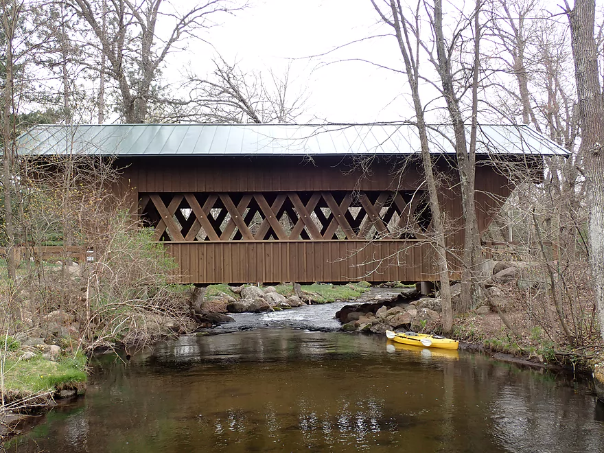
Date Paddled: May 9th, 2020
Distance: 5.8 miles
Time: 5 hours 3 minutes (3 hours would be more typical)
The Pine River in Waushara County has been a prospect I’ve wanted to do for some time, but I’ve always had lingering concerns about the number of logjams. Recently I discovered a rare second edition to an already rare paddling guide by Frank Piraino that positively described a stretch from Apache Road to Hwy A. […]
Read More...Hwy A to 26th Road Pull
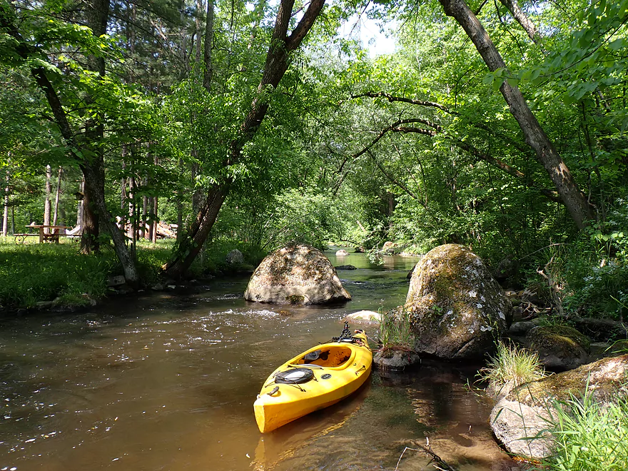
Date Paddled: June 3rd, 2023
Distance: 3.8 miles
Time: Expect 2 hours
The most scenic stretch of the Pine River (Waushara County) includes impressive boulder gardens, a covered bridge, and Class 3 rapids.
Read More...28th Court to Poy Sippi Community Park
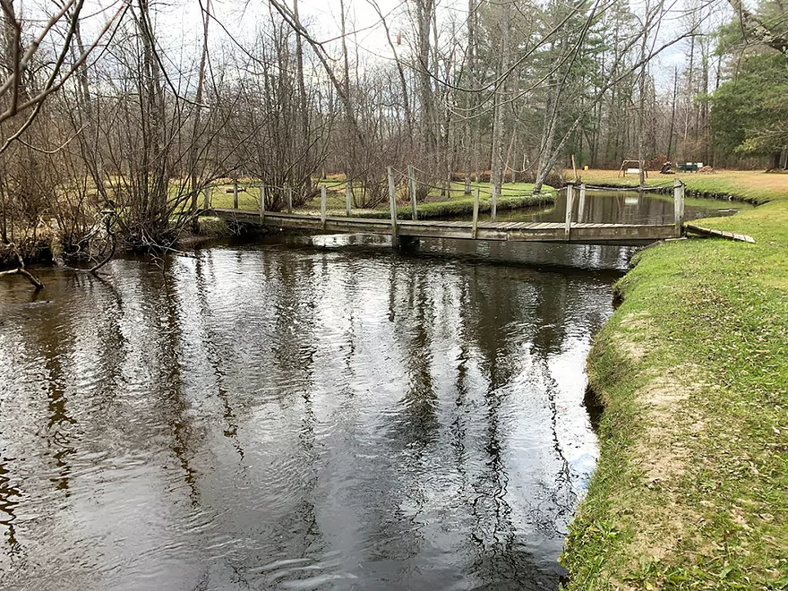
Date Paddled: November 9th, 2020
Distance: 4.8 miles
Time: 2 hours 15 minutes
A guest review for the Pine River upstream of Poy Sippi.
Read More...Poy Sippi to Poygan West Boat Launch
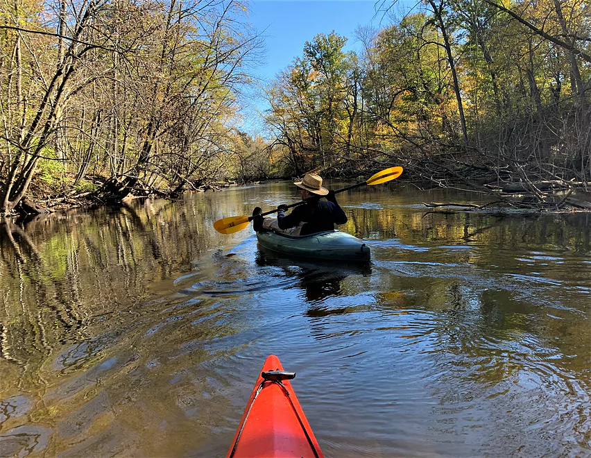
Date Paddled: October 18th, 2021
Distance: 9.5 miles
Time: 3 hours 15 minutes
If you are pining to navigate all the navigable Pine Rivers in Wisconsin (there are four that I know of, five if you count the North Branch of the Pine in Forest and Florence counties), do consider adding this segment of the Waushara County Pine to your itinerary. It has all the classic features of […]
Read More...Overview Map
Detailed Overview
- 19th Road to Hwy K: 1.7 miles. A neat prospect with clear water and no logjams.
- Hwy K to Aniwa Road Shoulder: 0.7 miles. Maybe 4 logjams.
- Aniwa Road Shoulder to Aniwa Road Bridge: 1.0 miles. Good prospect but likely 5 logjams.
- Aniwa Road to Apache Road: 0.7 miles. Likely a scenic and wooded section but 2-3 logjams are likely present.
- Apache Road to Covered Bridge Road: 5.8 miles.
- Apache Road to Hwy A: 5.7 miles. Good scenery and clear water. But there are multiple portages...8 for logjams, 1 for a low bridge and 1 for a Class 2+ set of rapids that has a strainer.
- Hwy A to Covered Bridge Park: 0.2 miles. A good stretch with some boulders and rapids. There is one minor logjam that requires limbo'ing. The scenic Saxeville Covered Bridge is by the park.
- Covered Bridge Road to 26th Road Wayside: 3.5 miles.
- Covered Bridge Road to Portage Street: 0.4 miles. An incredibly scenic stretch with dense boulder gardens and rapids. Some of the rapids are Class 3 and require difficult tight turns.
- Portage Street to Hwy W/Dam: 0.8 miles. The creek widens and slows into an impounded pond. This can get shallow and some wading may be required.
- Hwy W/Dam to 26th Road Wayside: 2.3 miles. This is a very nice stretch with boulders, tree canopies, pines, and quaint cottages. There is a low bridge to duck under and one logjam to portage.
- 26th Road Wayside to Hwy E/Dam: 2.7 miles. Maybe 6 logjam portages.
- Hwy E/Dam to 28th Court: 2.2 miles. An attractive stretch with many rapids...but likely many jams...perhaps 17.
- 28th Court to Poy Sippi Community Park: 5.3 miles. A mediocre stretch guest reviewed by Denny Caneff. This is a mostly open stretch, with maybe one noteworthy logjam. Some flowage paddling is required.
- Poy Sippi to Badger Drive Landing: 10.2 miles.
- Poy Sippi to Mouth on Lake Poygan: 8.5 miles. A good stretch guest reviewed by Denny Caneff.
- Mouth on Lake Poygan to Badger Drive Landing: 1.7 miles. This is a short stretch due north on Lake Poygan to reach a landing. Big lake paddling can be dangerous...do not do this when it is windy.

