
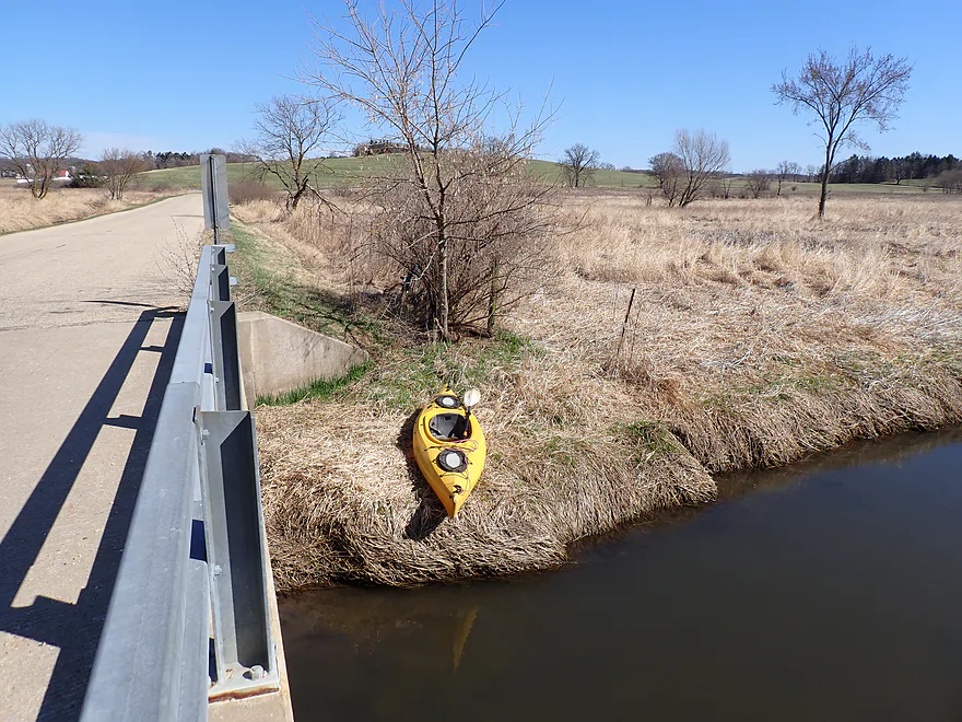
Starting at Fritz Road…good bridge access
Only hill of the trip (“Mount” Julia)
Small spring at its base
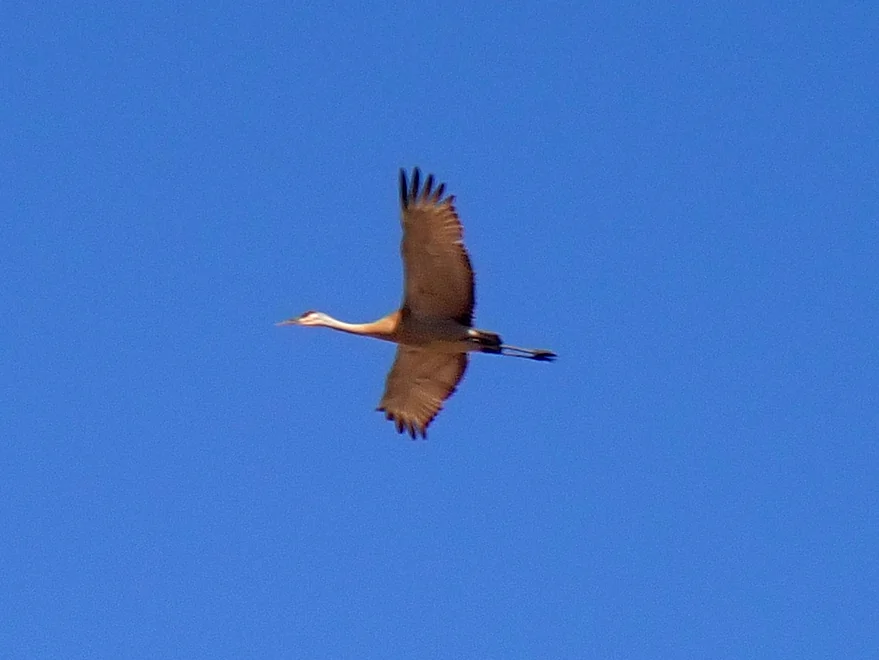
It was a great day for cranes
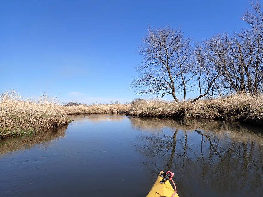
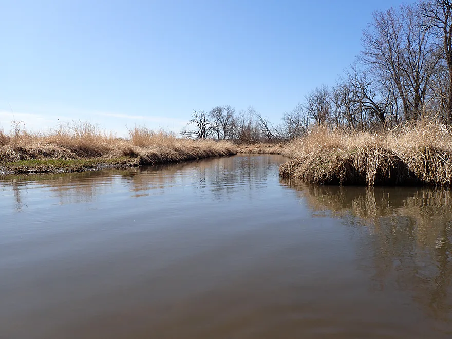
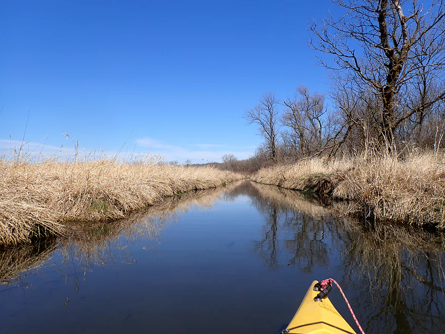
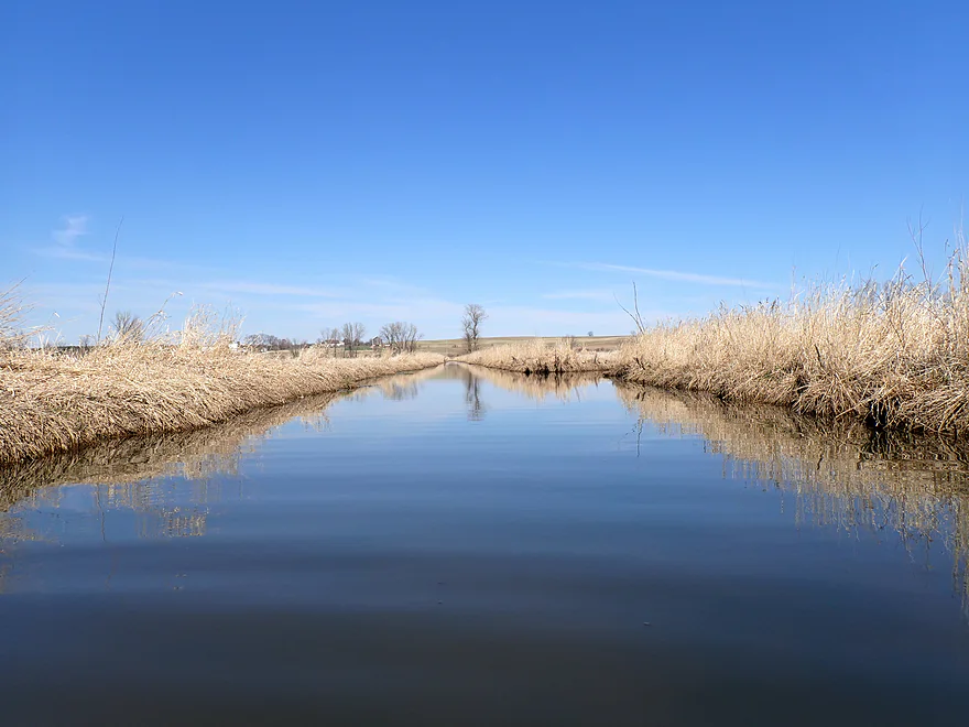
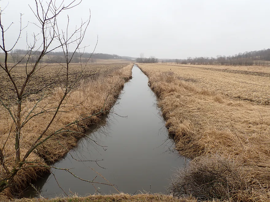
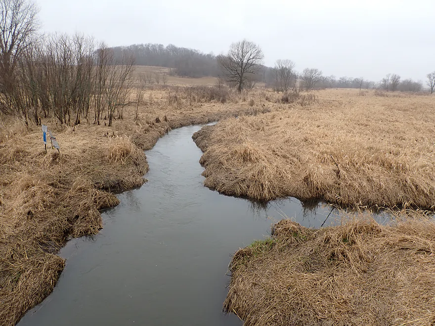
Lots of grassy banks
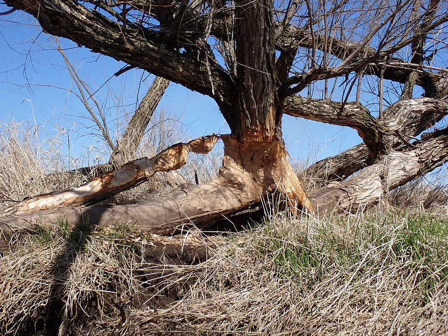
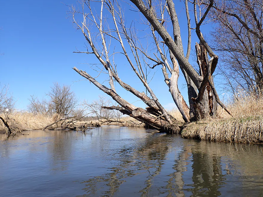
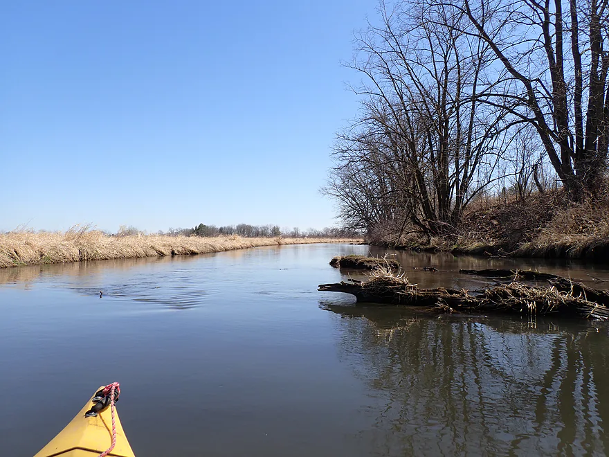
Quite the chew job
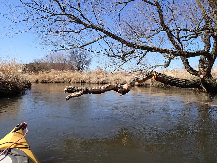
Almost as if the beaver was working to clear a kayak logjam
Milum Creek, coming in on the right, isn’t as navigable as it looks
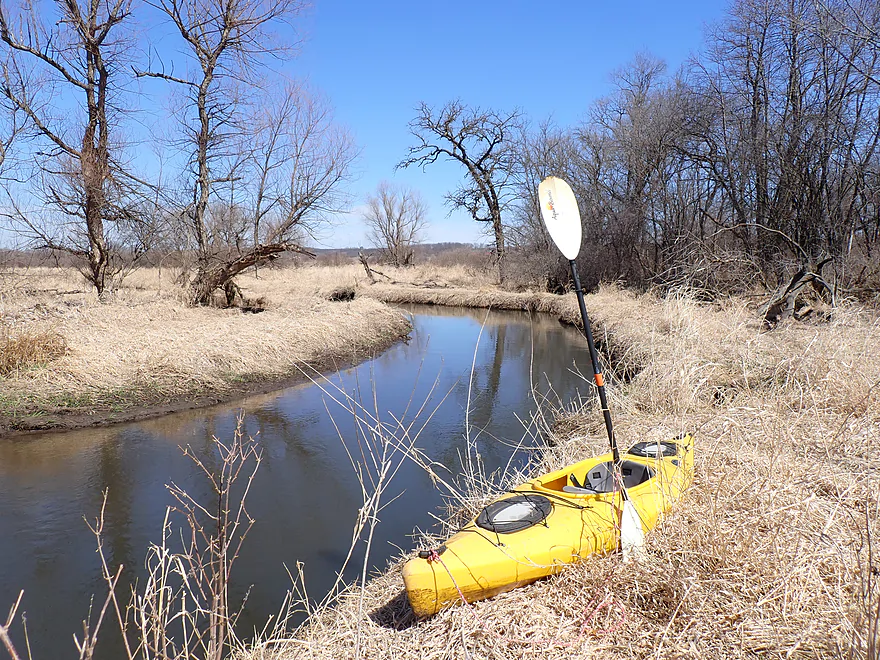
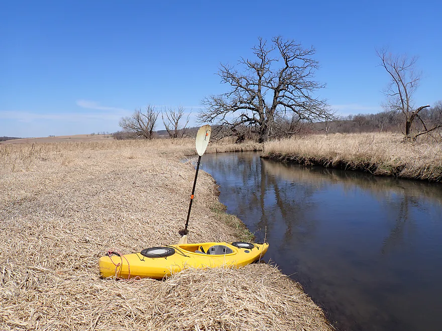
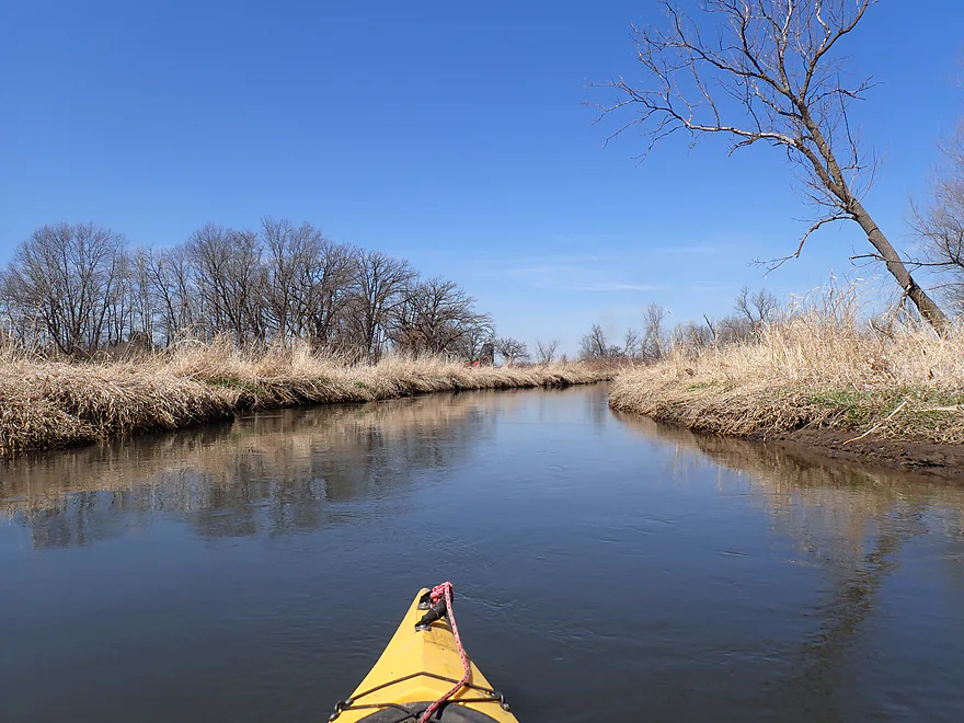
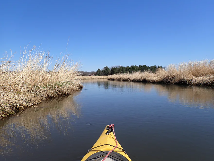
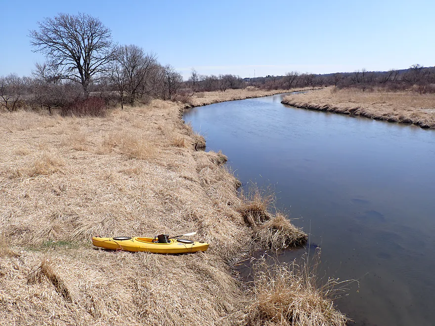
Getting out for pictures

Worried the trip might be too visually repetitive…so got out for more boat pictures
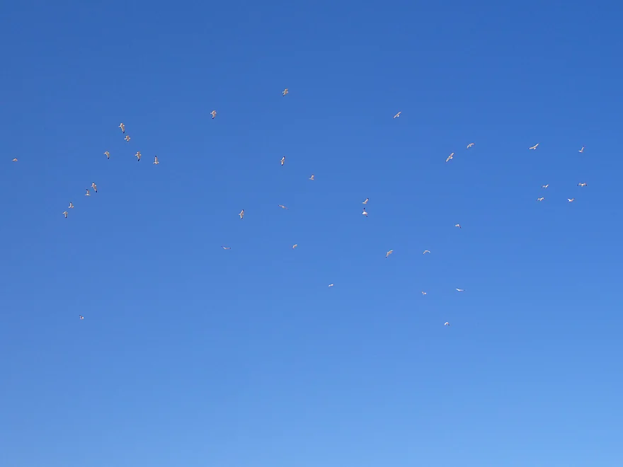
Huge flock of gulls circling directly over me
So much invasive reed canary grass
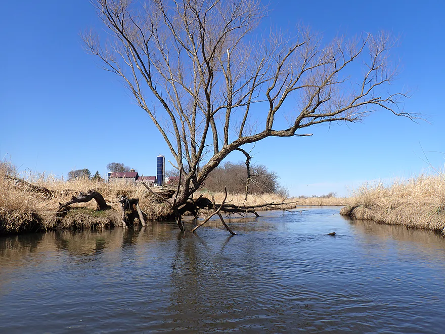
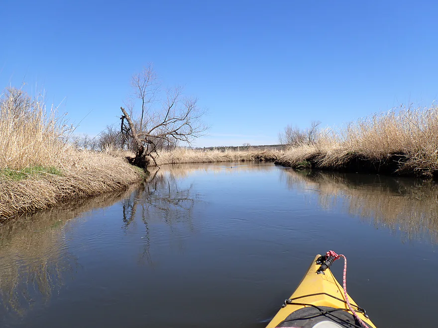
A great oak tree straight ahead (black willow to the left)
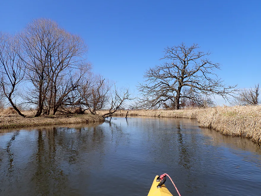
Checking out a side creek (now a channeled ditch)
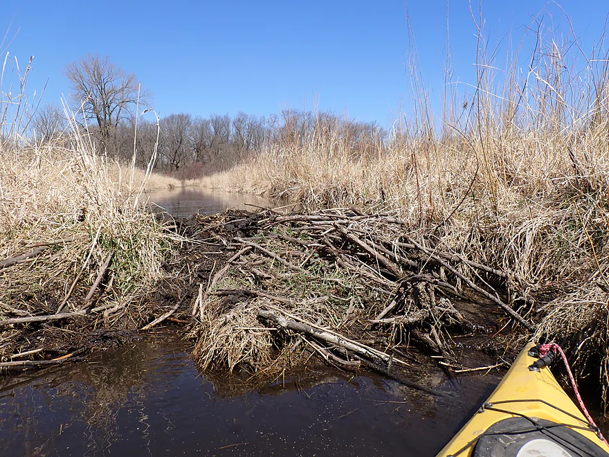
A surprise beaver dam on the inlet
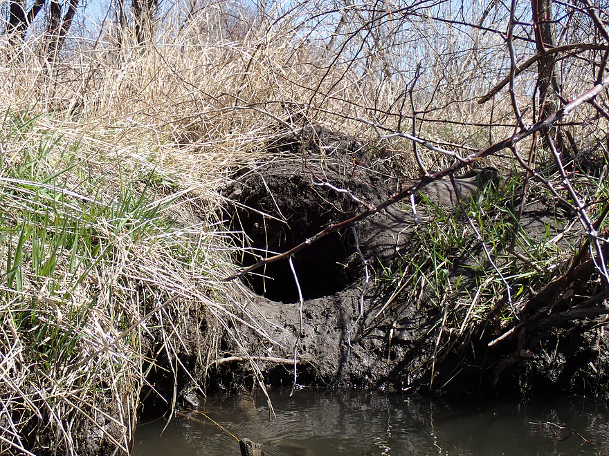
The beaver’s bank den
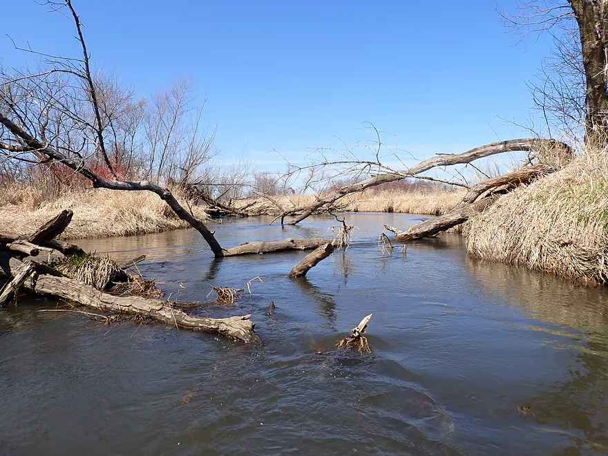
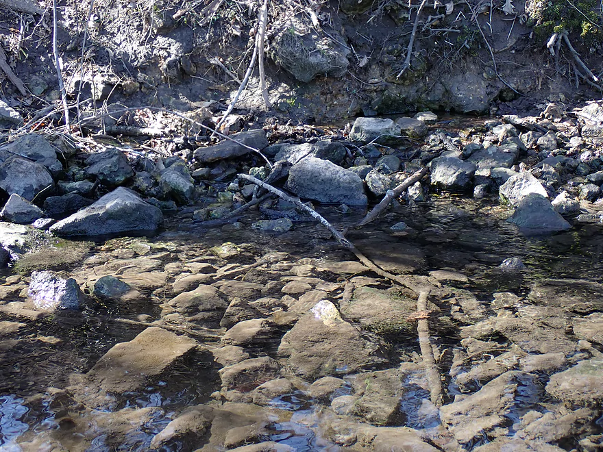
Some snag dodging…not bad
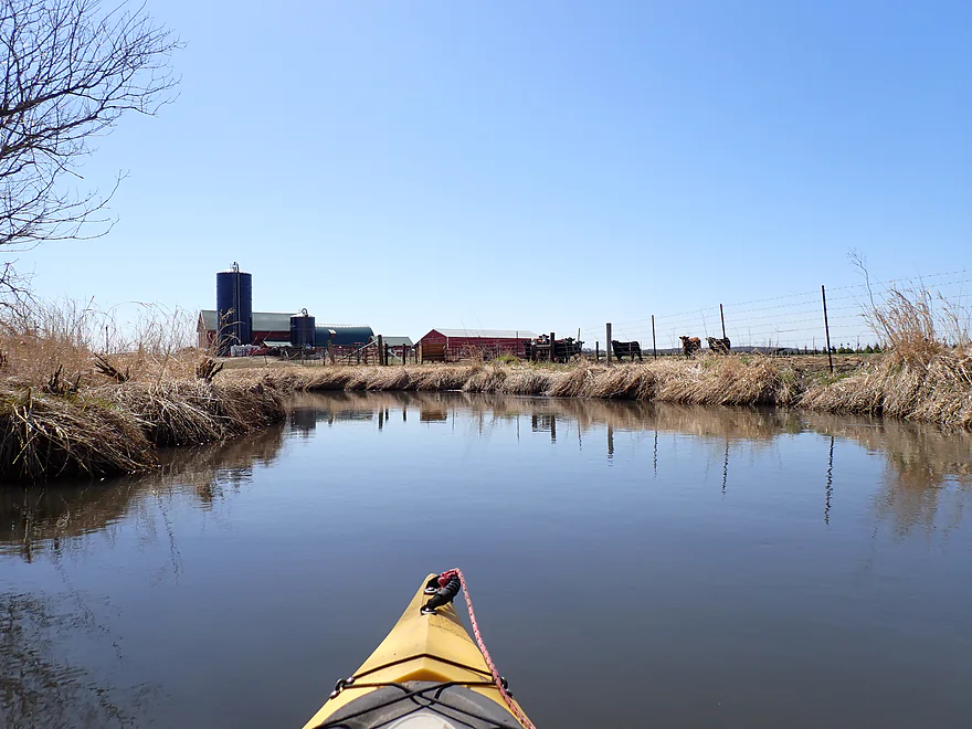
Approaching a farm
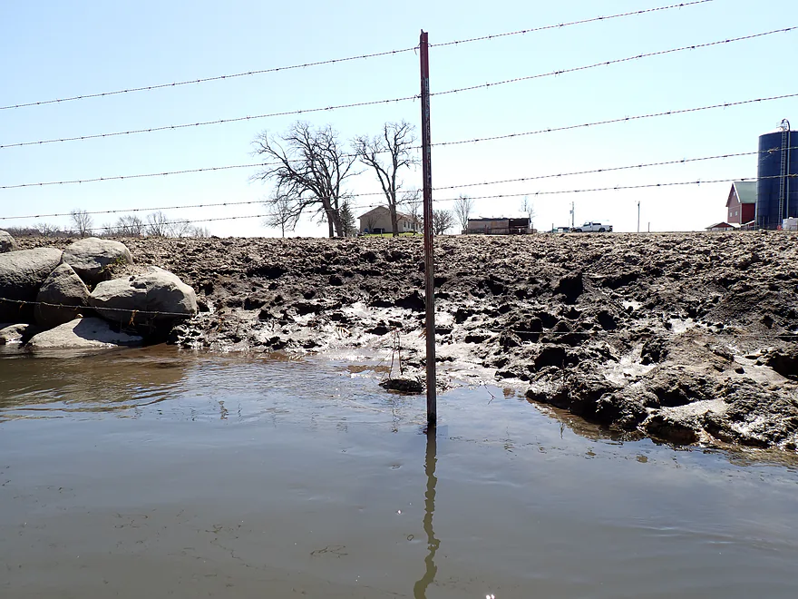
Unfortunately the cattle are causing the banks to erode

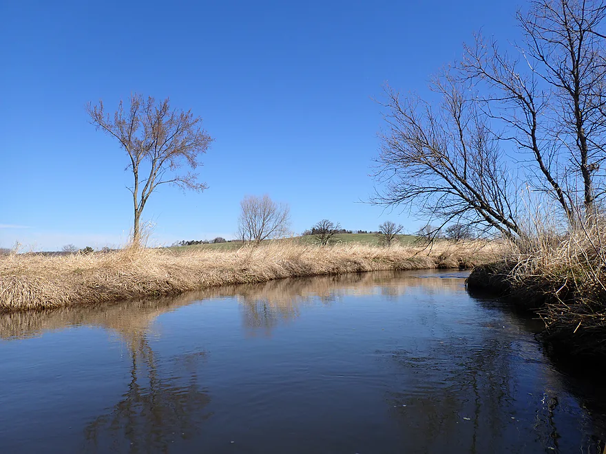
One of those beautiful blue sky days
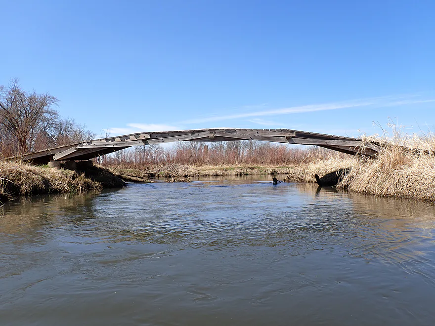
A Da Vinci bridge! (a self-supporting bridge held together by its own weight)
River really widens by the end of the trip
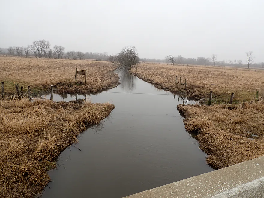
Ending the trip at Hwy PB
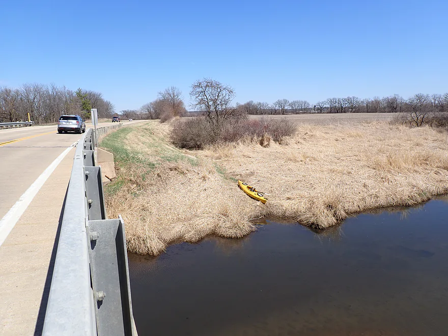
Good access
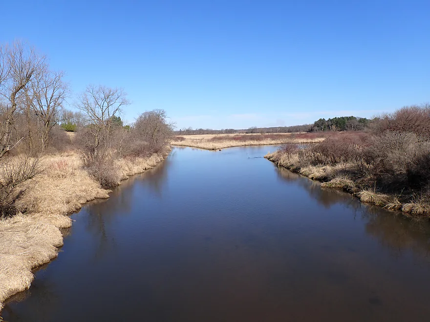
One final view from the bridge looking upstream
Scouting West Branch’s upstream bridges…this is Primrose Center Road
This is Cty U (next bridge)…picture taken during a minor flood
Hwy 92 is an ok bridge acccess
West Branch Sugar River

The Sugar is a popular paddling river in South Central Wisconsin. Lesser known are its tributaries, several of which are (mostly) navigable. For this trip I wanted to explore the West Branch, which is located just northwest of Belleville.
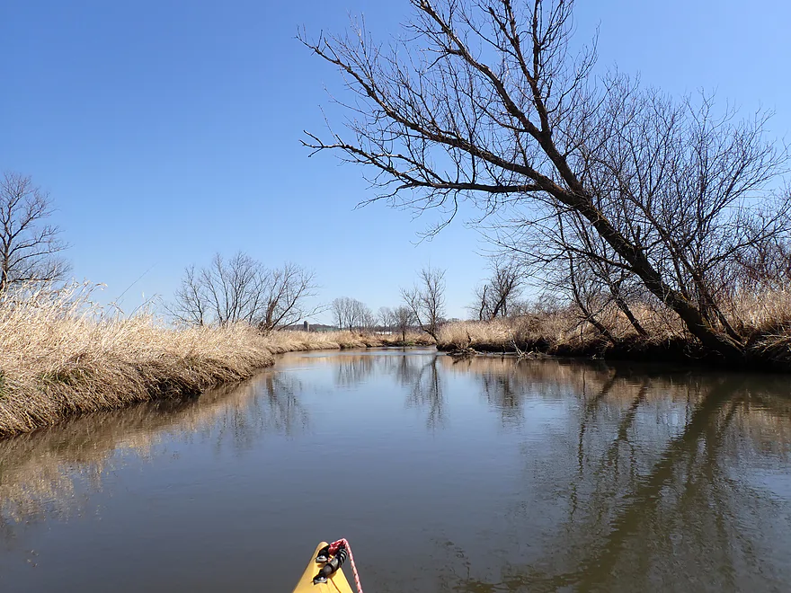
Fritz Road was a nice bridge put-in, and from the packed grass it appears other kayakers/fishermen use this as well. The river at the beginning of the trip was about 20′ wide and moved at a decent clip. The grasses were still died down which allowed for some nice expansive vistas of the wider river valley.
In the distance I could see several glacial hills and soon paddled close to what some maps refer to as “Mount Julia”. It’s certainly not a mountain, but is a nice bluff with underlying Cambrian marine sandstone and a small spring at its base. The West Branch (like the Little Sugar) is in the transition zone between the Driftless Area and the Johnstown Moraine. Despite having Driftless Area hills to the north and south…the river valley itself was definitely steamrolled by a far western lobe of the last glacier.
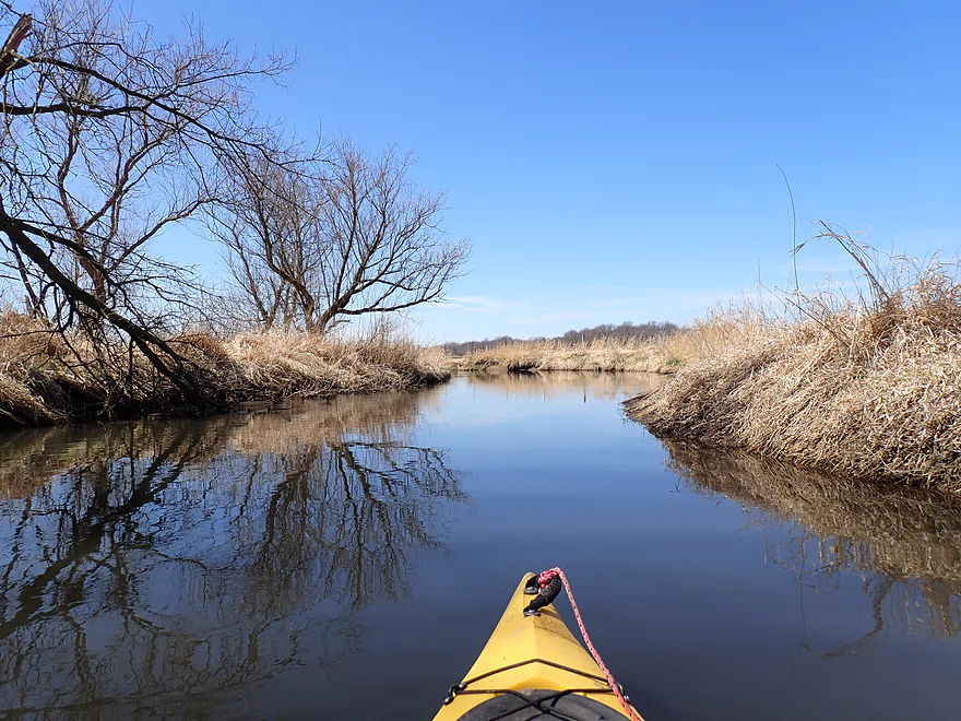
One of the main features of the West Branch are its grassy banks. There really aren’t woods (outside of a few clumps of trees), or rocks, sandbars, mud, etc…just lots and lots of grass. Much of it is invasive reed canary grass. It’s very destructive, ecologically speaking, and crowds out native grasses. It’s also very tall, thick, and ugly. Wisconsin Rivers that have been “assimilated” by reed canary grass are best done in spring or late fall, otherwise most of your paddle will just be a never-ending tunnel of grass.
What’s funny is, if you open up a random image of a stream in Poland, it looks coincidentally very much like a Wisconsin stream. European settlers figured that the grasses from the Old World would make good cow food in the New World without realizing (or caring) about the damage they could cause.
There were few signs of civilization on this trip outside of a distant plane or loud truck. Much of the area is part of a large wetgrass marsh. This changed at Kelly Drive where I encountered a farm. The cattle seemed friendly and curious…but the shoreline here was badly degraded. I suspect this farm is a point source polluter…especially during heavy rains.
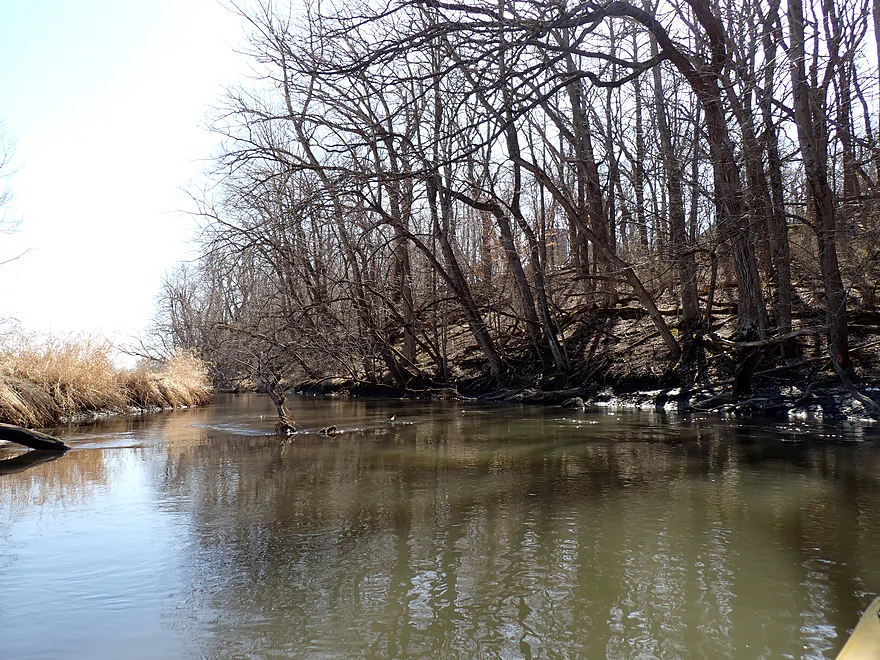
The last few miles were enjoyable, with more trees and variety in the river. The exception being some nasty bonfires whose smoke poured over the river. Near the end, the creek would slow considerably and eventually widen to about 60 feet, but remained scenic.
I ended the day at busy Hwy PB, which was a good bridge access. In summary this was a nice trip. There’s nothing exotic about it…no rocks, rapids, cliffs, sandbars, etc. It’s just a simple wetgrass paddle. But its zen-like simplicity was enjoyable…and the blue skies and fair weather added to the positive experience. No, this isn’t a five star trip or in the same tier as, say, nearby Badfish Creek…but for those living in Western Dane County it is worth putting on their to-do list.
Sights included one eagle, several turtles, two muskrats, and many cranes. Beaver evidence included a beaver dam (on a side creek), a large beaver den hole, and in several cases fairly chewed-through trees. At one point a massive flock of seagulls circled over me. The highlight was more so the sounds than the sights…a lot of singing songbirds, squawking cranes, and singing frogs. Spring is a great paddling time to hear songbirds.
The Devil’s Chimney: A a towering rock formation just north of the West Branch and west of Hwy 92. Although on private land, it can be seen from both the road.
Donald County Park: Only about six miles upstream from Fritz Road and off Hwy 92, this park features a huge spring, great vistas, and another towering rock formation (called Donald Rock). There were a ton of cars there when I passed by.
Badger State Trail: This popular Dane County trail goes right past Belleville.
Stream Improvement Project: The West Branch is a poster child for watershed and creek restoration. State and federal funding helped clean and restore parts of the creek from soil erosion and livestock degradation starting in the early 1980s. Although most of the work was done above Hwy 92, the entire creek benefited from this massive 20-year-long project.
Fritz Road: This is a very good bridge access. Note, it’s a bit deep by the bridge so choose where you launch carefully…but you should be ok.
Alternate Put-ins:
- Hwy 92 (2.5 miles upstream from Fritz): Hwy 92 is a good bridge access and part of a public easement. This bonus leg will likely have a few major logjams and at least one fence, but I think it should be mostly manageable. It starts very straight, but the second half meanders more naturally. It’s also somewhat small, so maybe should be saved for high water.
Cty Rd PB: This is a decent bridge access with disembarkation options on both downstream banks. Be mindful of where you park so you don’t block the farmer’s field access.
Alternate Take-outs:
- Belleville Park (2.6 miles downstream from PB): You could continue 0.7 miles to the mouth on the Sugar River…and then 1.9 miles to Belleville. I’ve done most of this before…it’s actually kind of a boring stretch because of the impounded water. Belleville Park though is a good access option.
Bike Shuttle – PB to Fritz Road: 3.6 miles with 161′ of ascent. There are a few big hills. But at just 3.6 miles this was a pretty mangable shuttle. Note, you can shuttle east on PB instead, but PB is a busy and obnoxious road…that is not recommended. Go west.
Logjams: There were a few downed trees, but it was easy to navigate around them. It’s possible new storms will create blockages in the future, so stay vigilant.
Wind: It wasn’t a factor for this trip. But this is a very open paddle, so you won’t want to do it during strong headwinds.
Current/Rapids: Current starts at a decent clip but slows significantly by the second half of the trip.
Fences: None.
River Gauge: Sugar River @ Verona
River Trip Depth: 61 CFS or 3.3′
River Navigability Estimates: This is actually a flexible creek to do at multiple levels. If high, it will be navigable. If low, it will also be navigable!
- 0-40 CFS: Low depth…fine for paddling.
- 41-70 CFS: Average depth…fine for paddling.
- 71-120 CFS: High depth…fine for paddling.
- 121-300 CFS Very high depth…fine for paddling.
- 300+ CFS: Banks might burst at this point. Honestly, it should still be ok for paddling but would be a different experience.
Click here to see an overview map of the Sugar River (including the West Branch).
- Upstream from Primrose e Center: The creek starts to get pretty small…not sure about viability. This would include Mount Vernon Creek which is a noted trout stream (scenic street view).
- Primrose Center Road to Hwy U: 1.5 miles. The river here is no more than a small brook and will require high water. But I believe it should be navigable and attractive.
- Hwy U to Hwy 92: 2.6 miles. Maybe one logjam. This leg is very shallow…wait for high water before attempting.
- Hwy 92 to Fritz Road: 2.5 miles. Probably an ok stretch. Mostly open but maybe 2 logjams. First half is artificially straightened, while the second half is very squiggly.
- Fritz Road to County Road PB: 5.2 miles. Probably the best leg on the river. Scenery is simple yet attractive. Expect to navigate around some downed trees, but nothing (yet) requires portaging.
- County Road PB to Mouth on Sugar River: 0.7 miles. This is the last leg of the West Branch before it empties into the main Sugar River. I’m sure this subleg is pleasant…but after the mouth you would have to continue to Belleville to get out and that part of the Sugar River isn’t as interesting.
- Mouth to Belleville Community Park: 1.9 miles. A boring stretch of the Sugar River. The problem is that the downstream dam in Belleville kills the current (and life) out of this leg.
Trip Map
Overview Map
Video
Photos Size: