Pine River – Richland County
The Pine is often overlooked as a water trail for paddlers as it is sandwiched between the more popular Kickapoo, Baraboo, and Wisconsin Rivers. But it is a very good paddling river on its own right with its highlight being some incredible sandstone outcrops.
Trip Reports
Quarry Drive to Shellington Drive
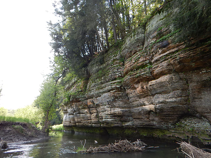
Date Paddled: May 14th, 2017
Distance: 4.8 Miles
Time: 3 hours 46 minutes (2.5 hours would be more typical)
Logjams and mud make for an underwhelming trip. There are nice parts on the river though if you stick it out to the end.
Read More...Hwy 80 to Hwy D
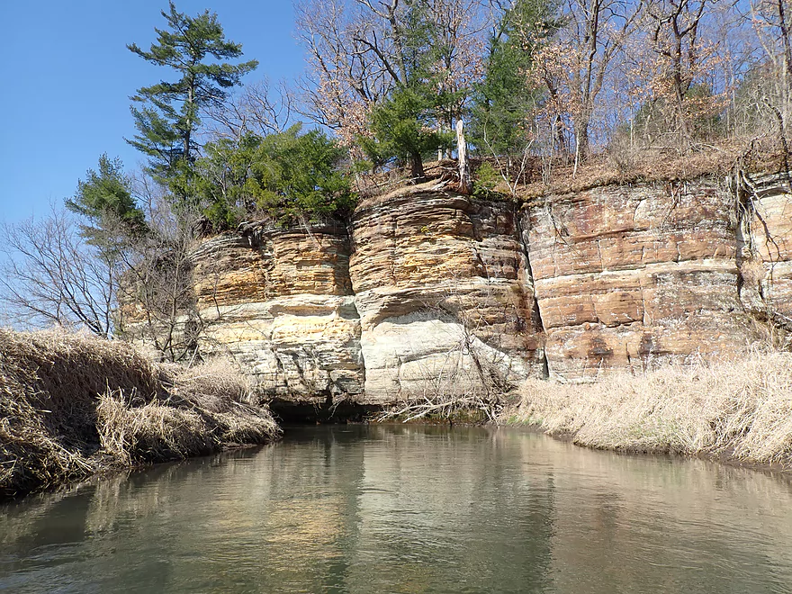
Date Paddled: April 2nd, 2021
Distance: 5.1 miles
Time: Expect 2-3 hours
This is one of the nicer paddles in the Driftless Area. Trip highlights included 13 outcrops and paddling under a huge natural sandstone bridge.
Read More...Pier Natural Bridge County Park to Hwy Aa Bridge
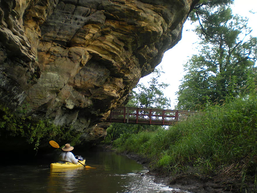
Date Paddled: July 23rd, 2011
Distance: 6 Miles (Dd) or 12 miles (Aa)
Time: 3 Hours (Dd) or 6 hours (Aa)
The Pine River is an interesting prospect located between the Kickapoo River and Baraboo River, perhaps overlooked by so many river reviewers because Wisconsin already has three other rivers named ‘Pine River’ (one of which is a popular paddling location). The cool thing about the Pine River is the rock formations that run along the […]
Read More...Canoe Port 1 or Hwy AA to Canoe Port 4 or Hwy Q
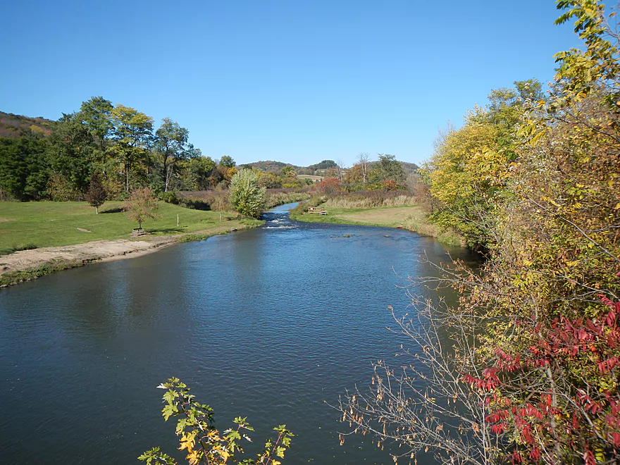
Date Paddled: October 12th, 2013
Distance: 5.5 Miles
Time: 2.5 Hours
The Pine River is an under-rated prospect sandwiched between the Baraboo River and the Kickapoo River. The lower third from Richland Center to the Wisconsin River gets occasional paddling traffic which is an ok prospect but it gets beat up by flooding. The upper third starting from Rockbridge Park is a great prospect which I’ve […]
Read More...Canoe Port 4 or Hwy Q to Hwy O
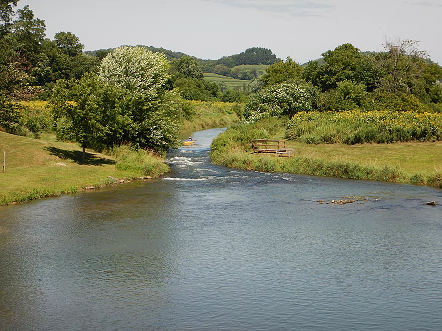
Date Paddled: August 2nd, 2015
Distance: 5.16 Miles
Time: 3 hours 55 minutes (2.5 hours would be more typical)
A pleasant, scenic driftless paddle that starts with some class 2 rapids and ends with a basketball game.
Read More...Overview Map
Detailed Overview
Map Overview:
- Click here to see a map of water trails and access options on the Pine (and its tributaries).
Quick Overview:
- Yuba to Pier County Park: Few paddle this stretch because of deadfall issues, but the river here is scenic and has some great outcrops.
- Pier County Park to Hwy D: The best and most popular part of the river.
- Hwy D to AA: An ok stretch with some outcrops, but not as many.
- Hwy AA to Hwy O: A nice stretch through the city of Richland Center. There are no outcrops here, but there are fun Class 2 rapids by Seminary Street.
- Hwy O to Mouth: This was cleaned up years ago, but likely has a few deadfall issues now. This is a mediocre paddle with no outcrops and isn't as interesting as upstream legs.
Detailed Overview:
- Yuba to Hwy C: 2.3 miles. Relatively open with some light rapids. Maybe one logjam.
- Hwy C to Beatty Dr: 0.4 miles. Mostly open with maybe some outcrops. Good prospect.
- Beatty Dr to Quarry Dr: 1.6 miles. Maybe 4-5 logjams.
- Quarry Road to Shellington Rd: 4.8 miles. Mediocre trip with some deadfall and mud, but some nice geology.
- Quarry Road to Hwy C: 1.5 miles. 4 major logjams make this not worth it IMO. There are two outcrops, but they aren't major.
- Hwy C to Shellington Road: 3.3 miles. Some snags, but no logjams. Bit of a trout stream feel to it. Two nice clusters of outcrops at the end. An underrated paddle.
- Shellington Rd to Hwy 80: 1.5 miles. Maybe 5 major logjams, but there should be some great outcrops on this stretch.
- Hwy 80 to Hwy I: 0.5 miles. Likely an uninteresting stretch with maybe 3 logjams.
- Hwy I to Hwy 80: 0.8 miles. Not a great stretch with maybe 2 serious logjams.
- Hwy 80 to Hwy D: 5.1 miles.
- Hwy 80 to Pier County Park: 1.4 miles. Two great outcrops, but also a number of snags on this stretch (none that I had to portage).
- Pier County Park to Hwy D: 3.7 miles. 11 outcrops on this stretch makes this the best leg on the Pine. The highlight is Pier County Park.
- Hwy D to Hwy AA: 6.9 miles.
- Hwy D to Hwy 80/SR: 2.3 miles. Roughly 3 outcrops on this leg.
- Hwy 80/SR to Hwy AA: 4.6 miles. Trying to remember…I believe there are 1-2 nice outcrops on this leg.
- Hwy AA to Hwy Q: 5.4 miles.
- Hwy AA to Industrial Dr: 2.7 miles. Nice open section with views of the hills.
- Industrial Dr to Krouskop Park: 1.7 miles. More tree cover. Some submerged logs to dodge.
- Krouskop Park to Hwy Q: 1.0 miles. Great section with cool bridges, class 2 rapids and hilly scenery.
- Hwy Q to Hwy O: 5.5 miles.
- Hwy Q to Bohman Dr: 2.3 miles. A nice section.
- Bohman Dr to Hwy O: 3.2 miles. Mostly open with some cornfields. Not as nice as the previous sections.
- Hwy O to Twin Bluffs: 4.8 miles. Mediocre prospect.
- Twin Bluffs to Gotham (mouth on Wisconsin River): 9.6 miles. Mostly floodplain paddling so not as interesting, but still ok.
Noteworthy Tributaries:
- Willow Creek: The best of the Pine River tributaries with fantastic "cake-shaped" outcrops.
- Melancthon Creek: An incredibly scenic creek that can only be done in high water. There are two tunnels that you can paddle through. Sadly there were a few annoying logjams on this stretch when I did it in 2017. Hopefully they've been cleared up by now or will be in the future.
- Hawkins Creek: This is a speculative prospect I will likely do in the future. It has many scenic outcrops, but also a fair degree of logjams, fences, and can only done in high water.
- Pine River - West Branch: This is one of the weaker tributaries. A lack of outcrops and likely fences/logjams make this somewhat unappetizing, but I might try to explore the more open sections in the future.

