Coon Creek
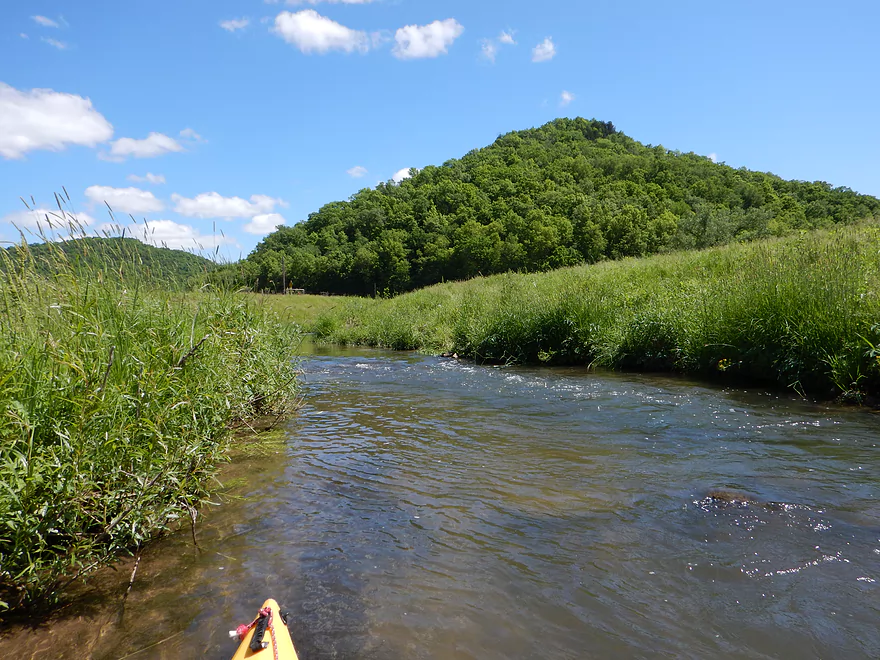
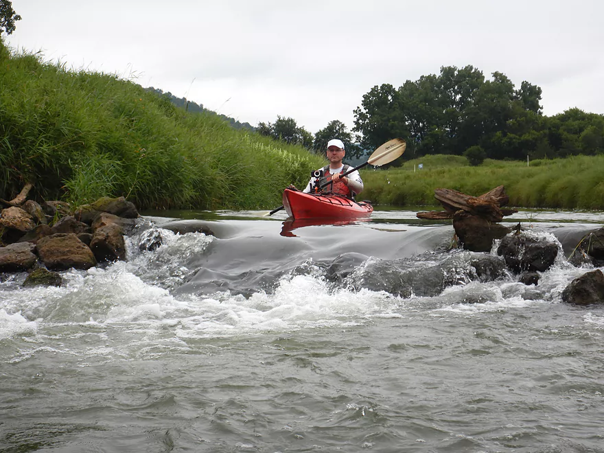
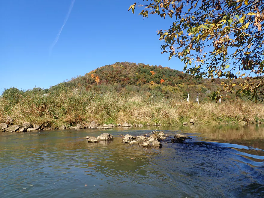
While famous as a trout stream, Coon Creek is a surprisingly nice water trail for kayaking with some surprising and fun rapids. An annual kayak race takes place each year and ends in the community of Coon Valley.
Trip Reports
Hwy P Fishing Access to Hwy 162

Date Paddled: June 8th, 2014
Distance: 4.9 Miles
Time: 3 hours 10 minutes
An obscure paddling prospect with nice riffles, scenic hilly vistas, and no technical portages…but with some serious obstacles to contend with. In paddling circles, few will have heard of Coon Creek or its main tributary, Timber Coulee Creek, but for fishermen this is one of the most famous watersheds in all of Wisconsin and is […]
Read More...Veterans Memorial Park, Coon Valley to Koll Road

Date Paddled: August 13th, 2022
Distance: 4.5 miles
Time: Expect 2 hours
Once maligned for paddling, Coon Creek has recently been revitalized through conservation practices, local cleanup efforts, and an annual canoe race. Now it's currently one of the more underrated water trails in West Central Wisconsin.
Read More...Koll Road to Chaseburg Memorial Park

Date Paddled: October 9th, 2022
Distance: 4.9 miles
Time: Expect 2-3 hours
While there are few rapids and it's not as scenic as Upper Coon Creek, Lower Coon Creek is still a decent paddle trip.
Read More...Overview Map
Detailed Overview
- Upstream of Rullands Creek Junction: I believe this far upstream Timber Coulee is too congested to run.
- Hwp P (by Rullands Coulee) to Hwy P Fishing Wayside: 1.2 miles. Tricky put-in. Either park on Oakdale Ave and launch in Rullands Coulee Creek and negotiate a serious electric fence. Or park east of the Coon Creek bridge/Hwy P and launch there. The latter lets you float by scenic outcrops. Electric fences and shallow water can be issues.
- Hwy P Wayside to 2nd Hwy P Wayside: 3.8 miles. A future trip.
- Hwy P Wayside to Olstad Road: 1.2 miles. Creek here is small, shallow, open and fast. Maybe one logjam.
- Olstad Road to Hwy P Wayside: 2.6 miles. Interesting prospect I might do in the future. Mostly pasture but perhaps some outcrops. Public fishing access at Olstad.
- Hwy P Wayside to Coon Valley/Veterans Park: 5.3 miles.
- Hwy P Wayside to Hwy P Bridge: 1.4 miles. Scenic stretch with fun rapids. Note this stretch used to have difficult fences, but I believe per a source they are no longer an issue.
- Hwy P Bridge to Hwy 14: 3.9 miles. This stretch used to have very challenging electric fences, but I'm 99.99% sure they were all removed or raised. This is a scenic leg with many rapids and rocks. An annual canoe/kayak race also takes place along this route.
- Coon Valley/Veterans Park to Koll Road: 4.5 miles.
- Coon Valley to Knudson Lane: 3.7 miles. This is a surprisingly scenic stretch with nice Driftless vistas and rapids. Note, this leg does contain some Class 2's, one logjam, and a few strainers that can be tricky for beginner paddlers.
- Knudson Lane to Koll Road: 0.7 miles. Aside from a sheep farm and a fun two foot ledge, this leg isn't as scenic/interesting as the preceding one.
- Koll Road to Swain Street: 4.8 miles.
- Koll Road to Hagen Lane: 0.6 miles. A short open stretch with only one minor obstruction.
- Hagen Lane to Dodson Hollow Road: 1.3 miles. Mostly an open section through farm pastures. Solid stretch but not spectacular. One major logjam to portage.
- Dodson Hollow Road to Hwy KK: 2.1 miles. Scenic leg with great vistas of the nearby wooded hills.
- Hwy KK to Swain Street: 0.8 miles. Nice leg that wraps around Chaseburg and parallels a fantastic trail. One logjam, but a super easy portage.
- Swain Street to Hanson Lane: 2.0 miles. This stretch has more deadfall with maybe four major logjams.
- Hanson Lane to Hwy 162: 2.2 miles. An open stretch with maybe one logjam.
- Hwy 162 to Hilltop Road: 3.3 miles. A very eroded stretch with maybe 11 logjams.
- Hilltop Road to Hwy 35: 6.3 miles. Scenic, but I suspect too many jams (~14). A short ways after, you are on the Mississippi.
