Fox River
The fox is a slow lazy river. While not an elite paddle, many of its sections are solid for kayaking (especially the Upper Fox near Portage) and rich with history.
Trip Reports
Hwy 44 Bridge to Haynes Road Bridge
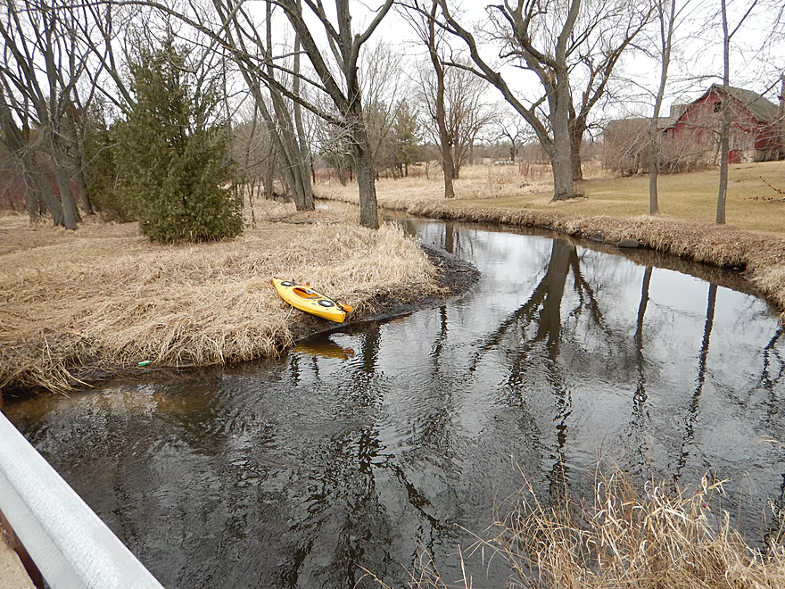
Date Paddled: March 15th, 2015
Distance: 6.31 Miles
Time: 4 hours 30 minutes
An obscure section of the Fox River upstream of Pardeeville that has redeeming values, but can be a frustrating paddle because of the log jams in the stream. Put-in: Pretty good access at Hwy 44. Best parking and launch area will be on the southwest side of the bridge. There is a house in sight […]
Read More...Indian Trails Campground to Swan Lake Public Launch
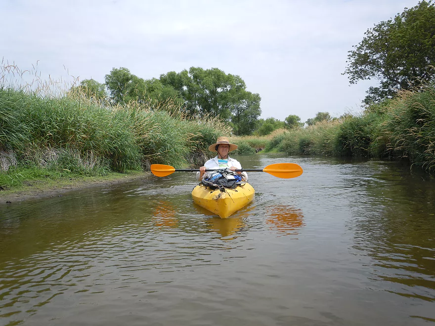
Date Paddled: July 15th, 2012
Distance: 4 Miles
Time:
Despite being only an hour drive from Madison, the upper Fox River tends not to be super popular with most kayakers. This is the same historic Fox that runs right west into Portage and then north towarda Green Bay. Mike Svob reviews two sections from the canal downstream (which I hope to run eventually), but […]
Read More...Swan Lake Boat Ramp to Hwy 33 Wayside
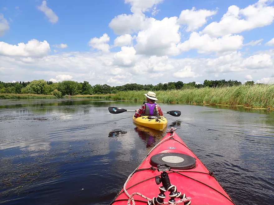
Date Paddled: July 13th, 2019
Distance: 5.9 miles
Time: 3 hours 49 minutes (2.5 hours would be more typical)
Yet another marsh paddle and lake/creek combo that was very nice. Highlights included great clarity, fantastic cloud reflections, and the most dragonflies I've ever seen.
Read More...Hwy 33 wayside in Portage to Governor Bend County Park
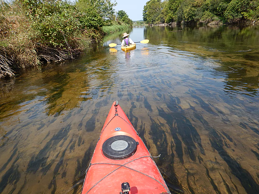
Date Paddled: September 5th, 2015
Distance: 5.07 Miles
Time: 4 hours 52 minutes (2.5 hours would be more typical)
One of Wisconsin's most historic rivers, this is a pleasant paddle with good water clarity and a chance to explore the Portage Canal. Unfortunately, it has some serious issues with rotting pondweeds.
Read More...Governor Bend Park to Hwy O
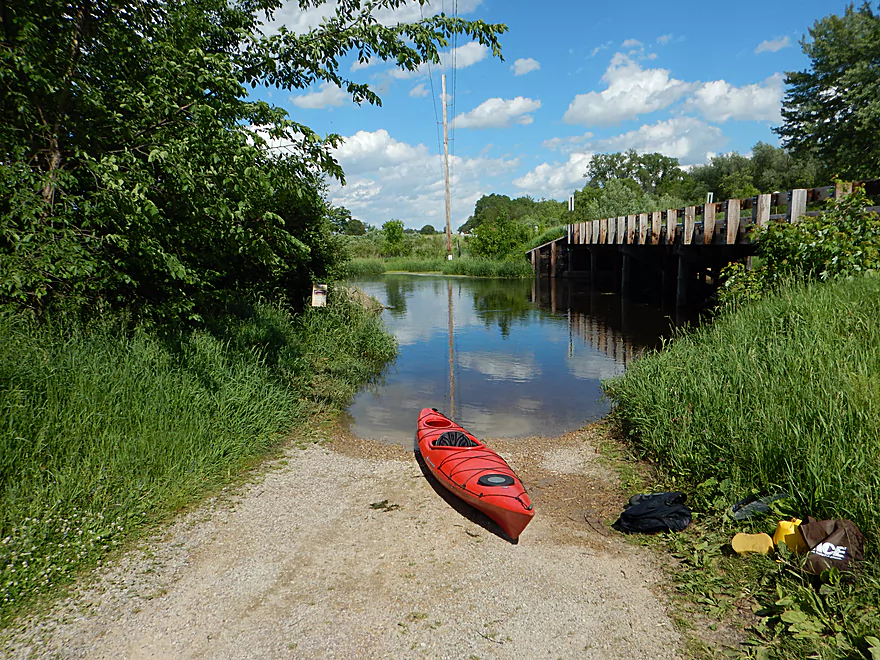
Date Paddled: June 5th, 2016
Distance: 5.69 Miles
Time: 2 hours 35 minutes
A slow, simple, and peaceful section of the Fox that is pleasant but not super exotic. Locals should consider this stretch, but those living further away can probably find better alternatives.
Read More...Hwy O Public Launch to North River Road Public Launch
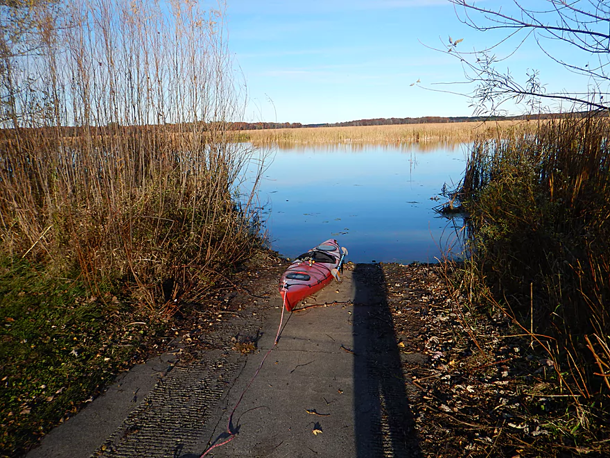
Date Paddled: November 1st, 2015
Distance: 8.1 Miles
Time: 3 hours 15 minutes
This is a tweener section of the Fox River between the more popular Portage to Hwy O route and Buffalo Lake. Not super exotic, with no bluffs, no current, no banks, nor woods; this is nevertheless a pleasant section that I'm glad I did.
Parking lot at W. Montello Street to Grand River Locks
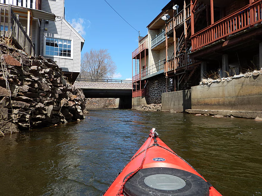
Date Paddled: April 4th, 2015
Distance: 5.6 Miles
Time: 2 hours 12 minutes
A trip that starts on the swift, narrow Montello River and finishes on the historic Fox River. Part urban paddle, part historic paddle, part open water paddle–a fun trip that I recommend to readers. Put-in: There is a downtown public parking lot that you can use for access (fishermen use it all the time). It […]
Read More...Princeton Locks to City of Princeton
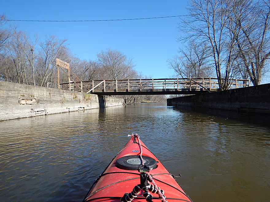
Date Paddled: November 15th, 2015
Distance: 3.58 Miles
Time: 1 hour 32 minutes (a fast trip)
Simple yet pleasant. This rarely paddled section has something that much of the rest of the Fox River does not. Trees!
Read More...Princeton to White River Locks
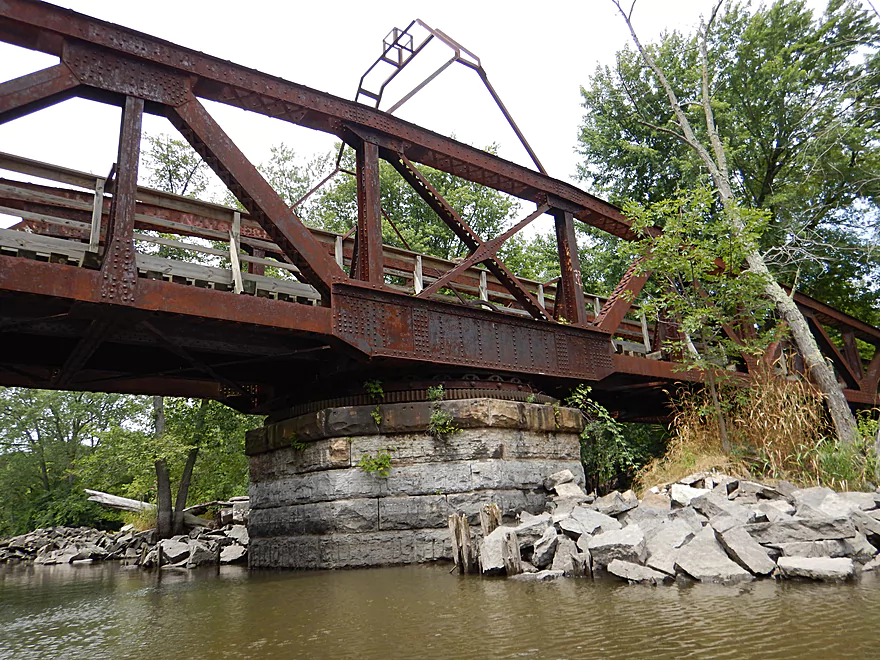
Date Paddled: July 17th, 2016
Distance: 6.0 Miles
Time: 2 hours 37 minutes
A pleasant section on the Fox River starting in the city of Princeton. However, the broad channel and slow current take some of the magic out of the trip.
Read More...Overview Map
Detailed Overview
- Hwy H to Hwy E: 3.1 miles. Creek/river is kind of small here and you may need high water. Route is 3.1 miles and logjams shouldn’t be an issue. A very open and grassy route.
- Hwy E to Ross Road: 2.9 miles. Hwy E has tough parking because of steep shoulders but you should be able to park in a drive NW of the bridge. Next 2.7 miles will be mostly open wetgrass and logjams shouldn’t be an issue.
- Ross Road to Hwy 44: 3.3 miles. More open wetgrass for the next 2.9 miles with possible logjams before Hwy 44. Parking isn’t the greatest at Ross because of the steep shoulders.
- Hwy 44 to Haynes Road: 6.6 miles. An obscure section of the Fox River upstream of Pardeeville that has redeeming values, but can be a frustrating paddle because of the logjams in the stream.
- Haynes Road to Hwy 22 Dam (the south one): 2.0 miles. Looks like a boring lake paddle IMO. I did not see public access at either dam, so you may have to portage them. Am not sure. I believe canoe author Frank Piraino put in on the Hwy 22 bridge by the north dam/fork.
- Hwy 22 to Swan Lake Campground: 2.6 miles. I do not know much about this route, but it was paddled by Frank Piraino who had a favorable opinion of it. Rumor has it there are snags here. I suspect there will be jams in the north fork after Hwy 22, but the south fork should be free (but less scenic). Swan Lake Campground requires a fee for access.
- Swan Lake Campground to Swan Lake (South Shore Boat Ramp): 2.7 miles. An ok stretch. In essence a creek paddle through grasslands with a bit of lake paddling at the end. Serviced by a local livery.
- Swan Lake to Hwy 33: 5.8 miles. Pleasant marsh paddle. Does include 1-2 miles of paddling.
- Portage Canal: 2.3 miles. A unique experience filled with history. Unfortunately the canal can be at times challenging to navigate.
- Hwy 33 to Governor Bend: 5.4 miles. A classic stretch and one of the best water trails on the Fox.
- Governor Bend to Hwy O: 5.7 miles. A pleasant stretch.
- Hwy O to Endeavor: 7.6 miles. A surprisingly nice section with good wildlife.
- Buffalo Lake: 10.6 miles. An artificial lake/flowage. Looks boring…. Beware of the weeds in late summer.
- Montello to Grand River Locks: 3.4 miles. A good section.
- Grand River Locks to Lake Puckaway: 5.3 miles. Probably a nice section.
- Puckaway Lake: 6.2 miles. Also looks boring and to be avoided. At least it’s not fake like Buffalo Lake. Maybe 7 miles.
- North Puckaway Lake to Princeton Locks/Dam: 9.8 miles. I do not know much about this stretch.
- Princeton Locks/Dam to the City of Princeton: 3.5 miles. A simple but pleasant section.
- City of Princeton to White River Locks: 6.0 miles.
- City of Princeton to Old St. Marie Landing: 1.9 miles. A pleasant wooded section with a historic turn bridge.
- Old St. Marie Landing to the White River Locks: 4.1 miles. A slow, broad channel that is ok, but gets repetitive.
- White River Locks to Landing Road: 10.4 miles. The White and Puchyan Rivers add a lot of volume by now. Not sure this is a great paddling stretch.
- Landing Road to Riverside Park in Berlin: 3.4 miles. A simple section that flows through downtown Berlin.
- Riverside Park to Eureka Boat Landing: 7.8 miles. River is probably no longer a cute baby and is instead an ugly teenager.
- Eureka to Omro: Roughly 6.5 miles. Probably too big to be enjoyable.
- Omro to Lake Butte des Mortes: 5.0 miles. Likely uninteresting.

