North Fork of the Maquoketa River – Ozark Wildlife Area
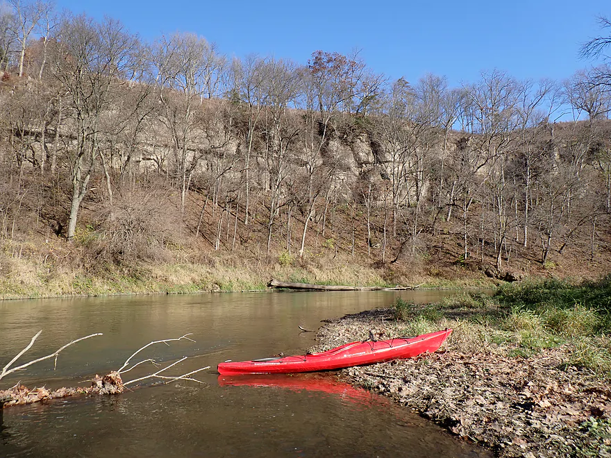


Located in NE Iowa close to the Wisconsin border, the North Fork of the Maquoketa River is a great paddling river. It’s somewhat underrated in kayaking circles as most locals prefer the main branch (located just to the south). But the North Fork is just as scenic if not more so. Unfortunately, inconsistent access points and sketchy local roads deter it from being more popular.
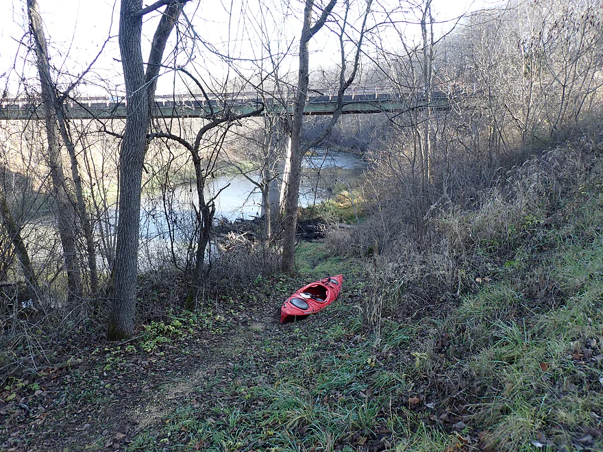
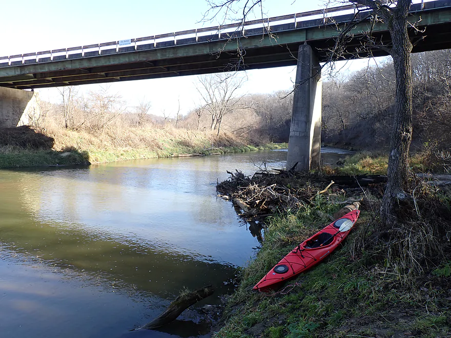
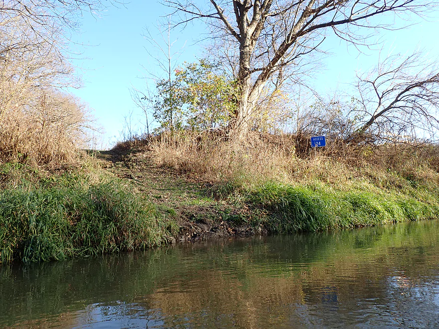
Most that float the North Fork choose the Ozark Wildlife stretch, which is what I opted for this trip. After braving some horrendous Iowa roads, I finally arrived at my put-in (21st Ave bridge). At first glance it seemed like an impractical access, but I did find an obscure pull-off, access sign, and faint trail nearby on 185th Street which worked well.
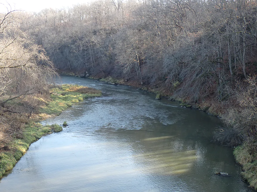
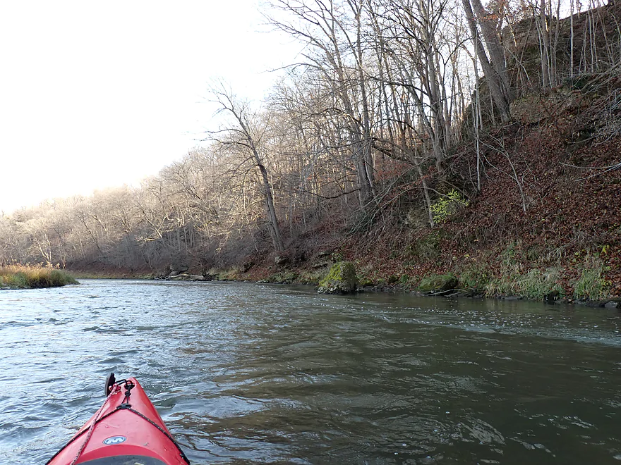
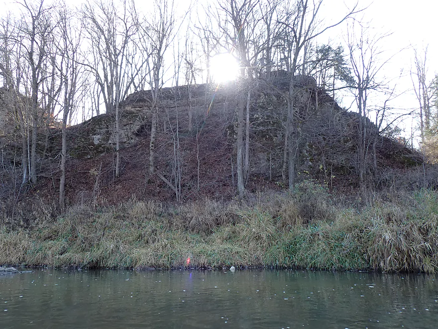
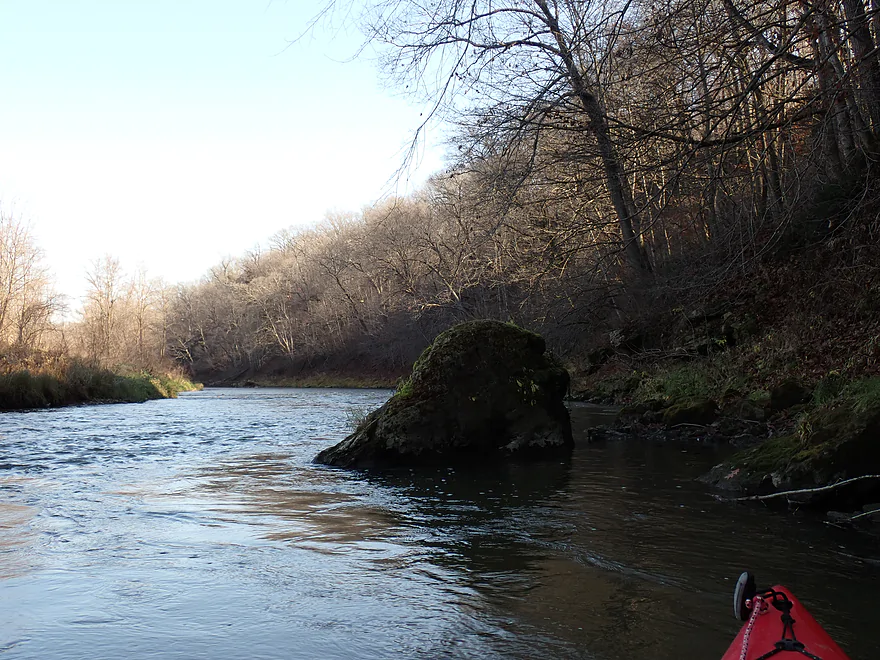
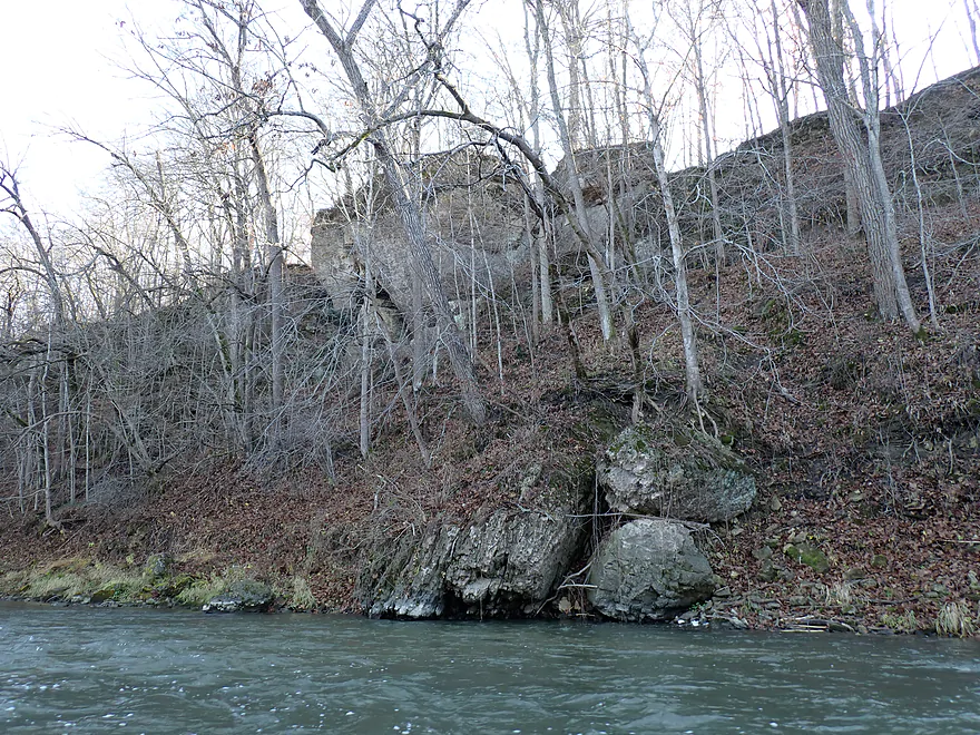
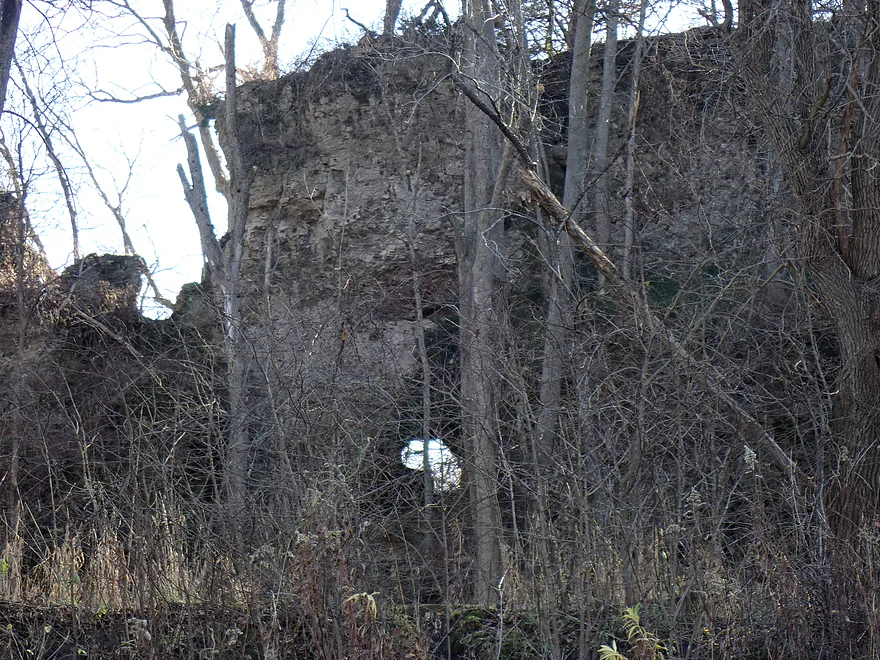
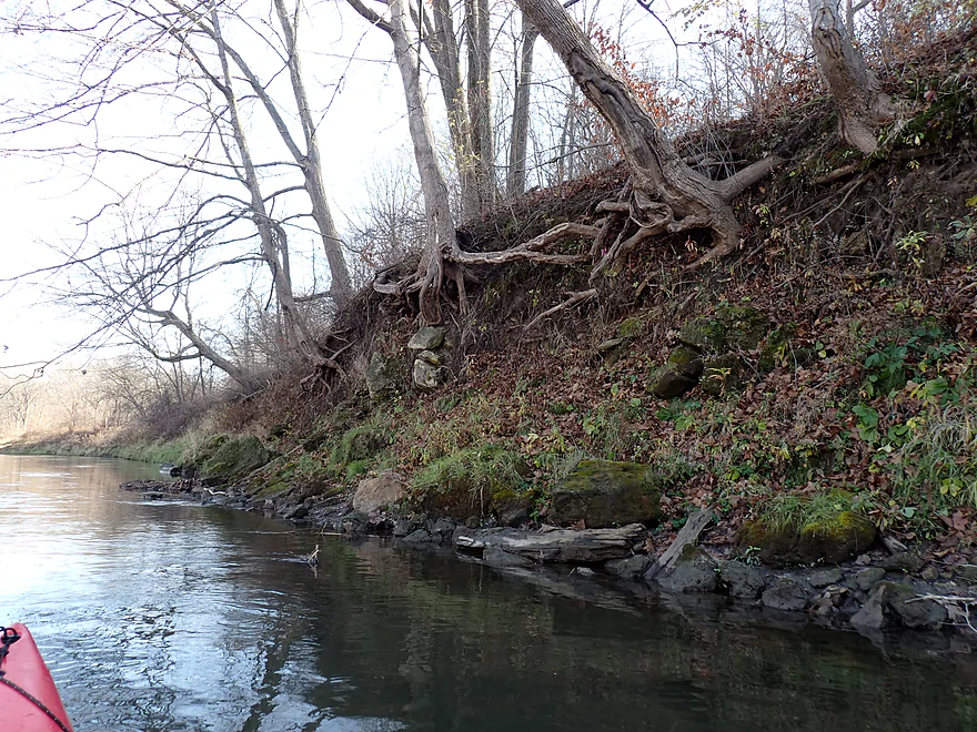
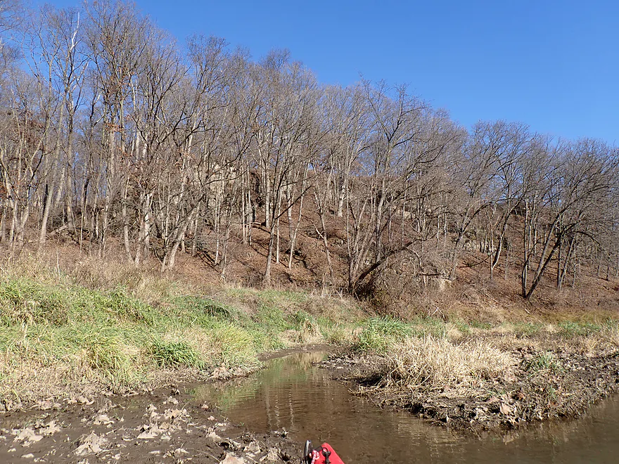
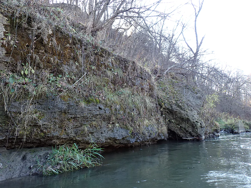
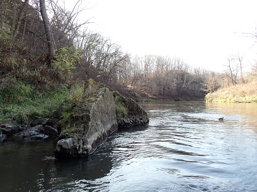
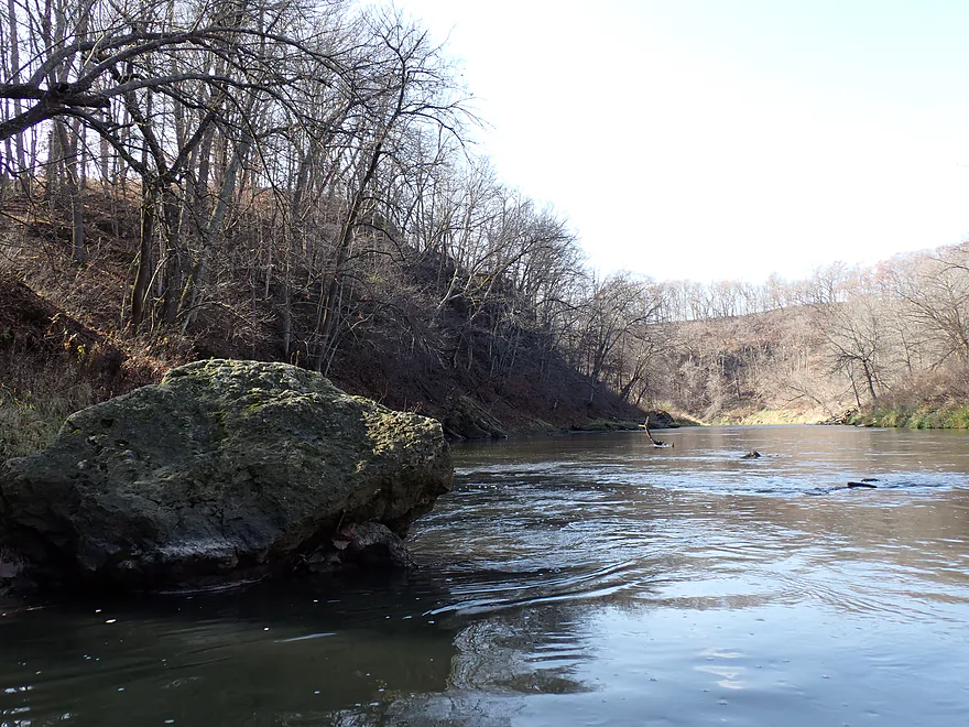
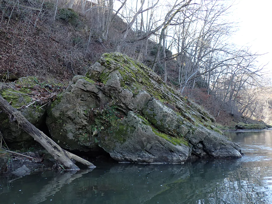
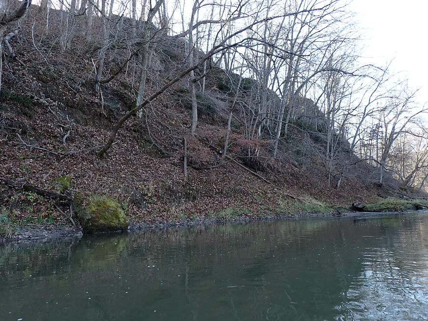
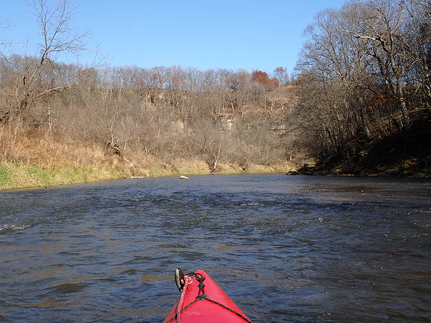
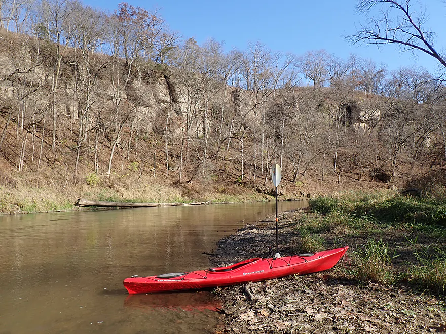
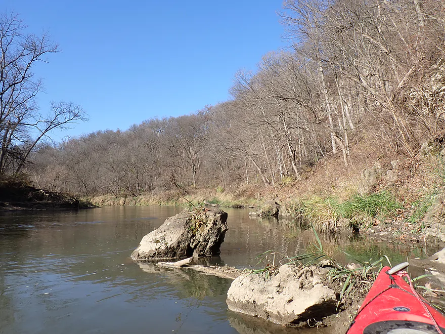
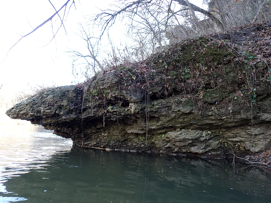
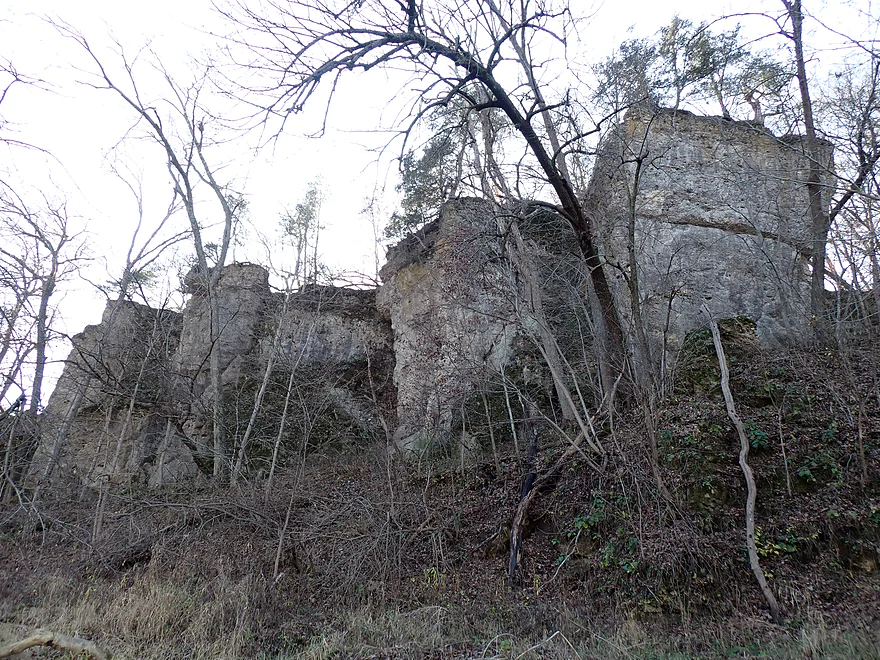
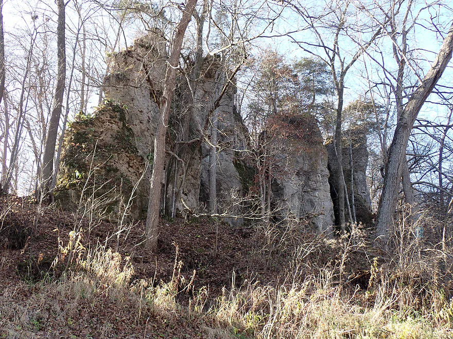
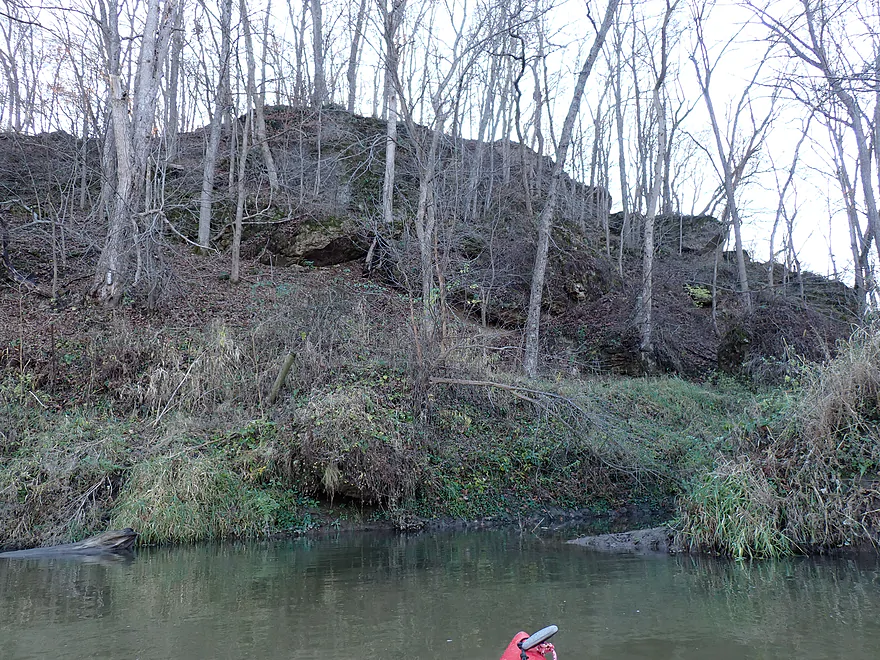
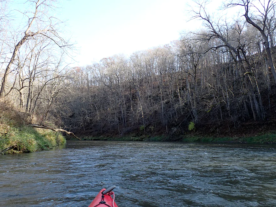
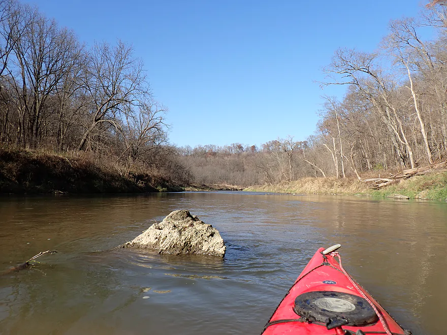
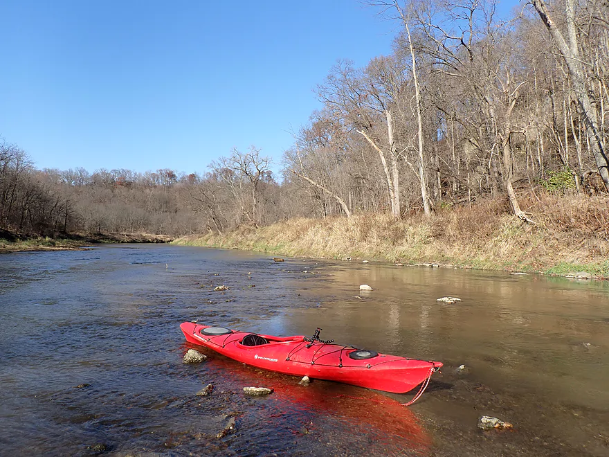
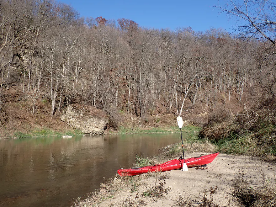
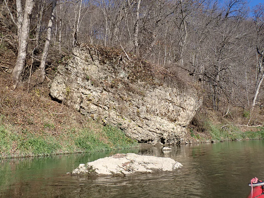
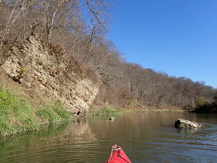
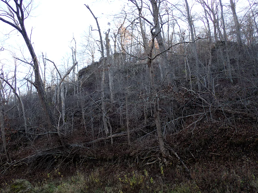
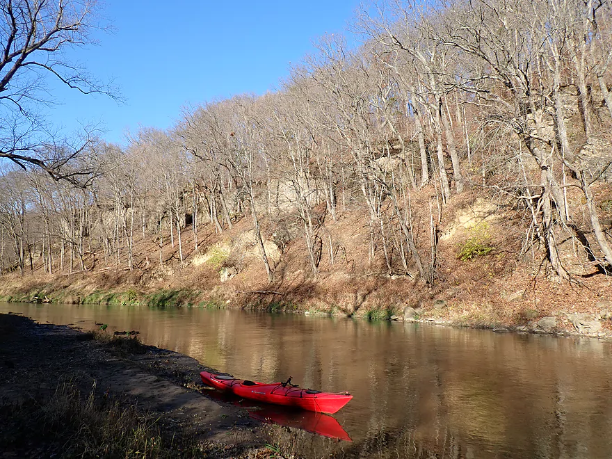
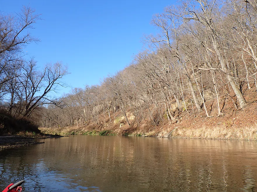
The river got off to a great start with fun rapids, attractive boulders, and scenic bluffs with recessed cliffs. I had hoped for some fall color, but that was pretty much gone. This wasn’t entirely a bad thing though as the leafless trees revealed a lot of terrific cliffs you wouldn’t otherwise see. Spring and fall are great times to kayak Iowa rivers as typically their nice rock outcrops are hidden by a proverbial jungle of weeds and thick tree cover.
A pleasant surprise for the trip were the relatively undeveloped banks and lack of corn fields. As soon as you cross the border from Wisconsin into Iowa you’re struck with the endless and uninterrupted corn fields–often as far as the eye can see. Wisconsin limits a person (or company) to owning only 640 acres of land (a good thing). But Iowa really doesn’t have this limit…and a shocking percentage of their land is owned by corporations and land barons, who often clearcut the woods and plant vast monocultures of corn. About 58% of the corn is then turned into ethanol. One stat I found said that 40% of Iowa land is owned by corporations (including foreign interests) and that just ONE family owns a whopping 400,000 acres (that is half the size of Dane County). If a corn blight were to hit Iowa, it would be in trouble (which is why we need biodiversity). Sadly, poor land management, land barons, and defacto feudalism are common in states between the Rockies and Mississippi.
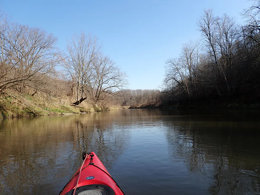
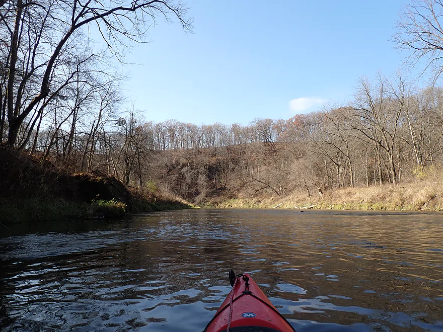
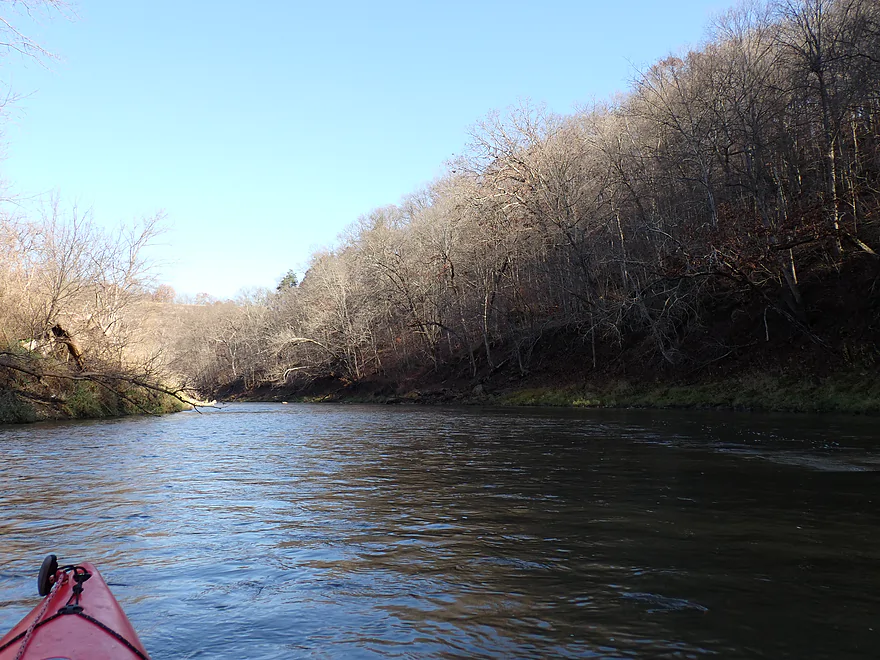
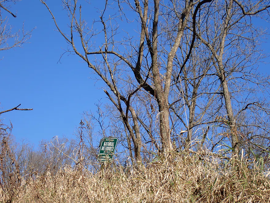
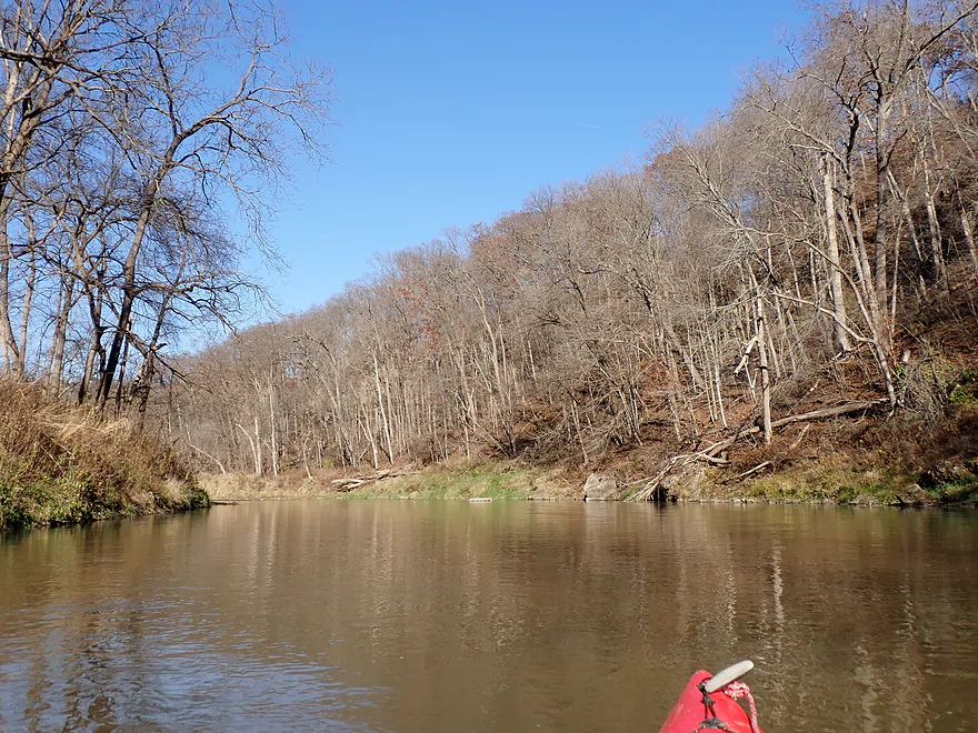
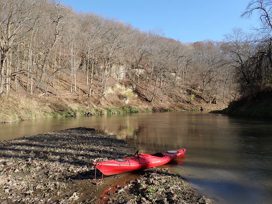
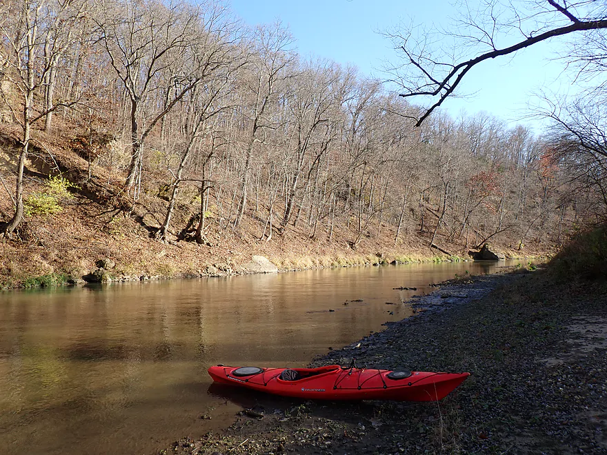
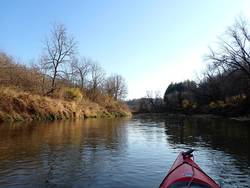
Getting back to the trip here…the main highlight were the frequent bluffs…many of which had attractive outcrops. These Driftless Area bluffs were steep and redirect the river around in tight, twisty turns, creating terrific scenery. Not to pick on Iowa, but they also do a poor job of conserving public land (Wisconsin has 5x more public land), yet there are a few nice exceptions. The Ozark Wildlife Area is one of them and it encompassed much of this trip.
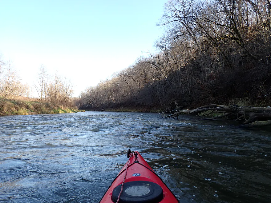
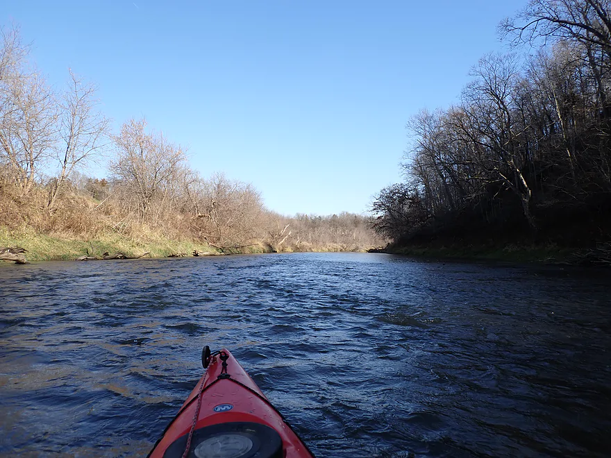
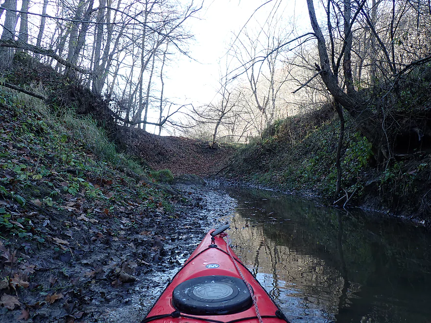
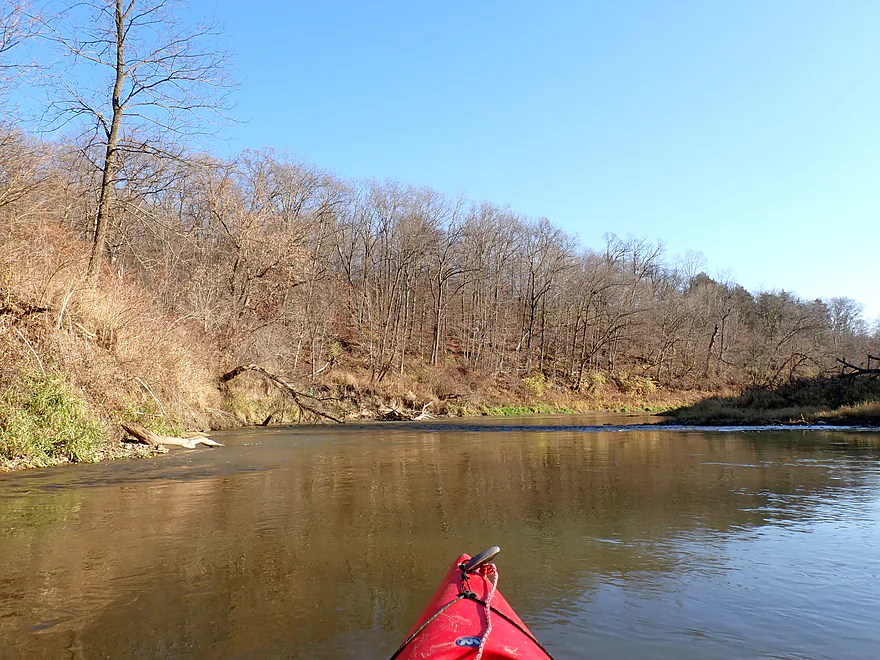
The current stayed swift with a handful of light rapids, but nothing too feisty. Water clarity was somewhat turbid, and the banks were a bit muddy and degraded, but by Iowa standards this is a pretty clean river.
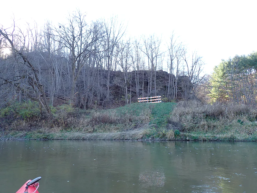
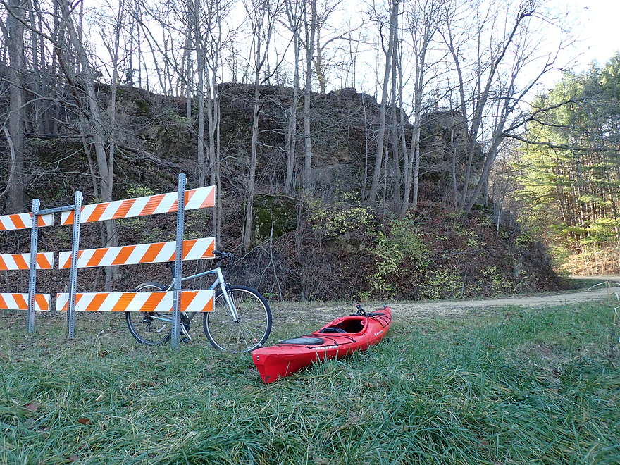
I ended the trip relatively early at 60th Ave. I’m sure most paddlers will prefer to do a longer trip and take out at Benard Road instead (3 miles downstream), but I was very conscious of not getting stuck on the river when the all-too-short November day ended. The 60th Ave bridge itself had been removed (not something Google maps appreciates). The east bank has an apparent public launch area. But previously I had arrived on the west bank to drop off my bike and discovered not only the bridge gone, but the west bank had a No Trespassing sign. Not thrilled about the prospect of driving 10 miles over hideous roads to merely get to the other side of the river, I asked and thankfully got permission from the local homeowner to park my bike on her land (nice lady).
In summary, this was a really nice trip. The fast current, nice boulders (some huge), Driftless Area bluffs, and recessed cliffs were fantastic. It was a treat paddling through these twisty hills and this is definitely a paddling gem in Northeast Iowa. One caveat though…I suspect I would have given this segment only 3.5-4 stars (not 5) if I had done it in summer because, again, most of the rocks and cliffs would have been hidden. Also most paddlers will want to continue a few more miles (Benard Road) which would be a good add-on leg. If you’re willing to brave dreadful Iowa roads you should have a good time on the river.
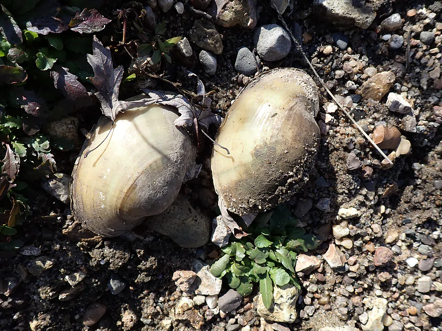
Sights included a red-tailed hawk, several eagles, some dead clam shells, and several beaver slides. If it “counts”, I did hear chickens and passed a buffalo farm driving to the put-in.
Ozark Wildlife Area: There are hiking paths and other ways to experience the wildlife area. But IMO the best views and experience will be from the river.
Maquoketa Caves State Park: This is likely Iowa’s most famous park and it’s located just 5 miles south of the Ozark Wildlife Area. The highlights include 13 trails, 13 caves, and several caves. One of the caves is massive and forms a natural bridge. Here is a really cool drone video of the park.
21st Ave/185th Street: The 21st Ave bridge itself isn’t a practical access option (too tall with huge banks). But just southwest of the bridge (off 185th street) there is a public pull-off and trail that leads to the water. It’s a bit muddy, but doable.
Alternate Put-ins: None really. The next upstream launch option would be the D61 bridge, which is technically on Whitewater Creek. But 12 additional miles would be a bit much for an add-on leg.
60th Ave: Unfortunately the bridge here was removed, which complicates things a bit. Most paddlers will use the east shore which, while a bit muddy, is public and I saw another kayaker parked here. I chose to use the west shore to shorten my bike shuttle. But note: unlike the east shore, the west shore is private. You have to get permission to use this from the local homeowner, which I did (nice lady!).
Alternate Take-outs:
- Hwy Y31: (2.8 miles downstream from 60th Ave) I didn’t scout this, but I know kayakers take out here, so it should be a doable bridge access. This bonus leg would be good with more bluffs, but the scenery wouldn’t be as spectacular as previous legs.
Bike Shuttle – 60th Ave West Shore to 185th Street: 3.6 miles with 249′ of ascent. Despite the short distance, this was a difficult shuttle. For starters, it is 100% gravel…sometimes you could find packed-in areas to bike over, which helped…but often it was rough riding. The other issue was several extremely steep hills, which I had to walk. With roads this bad, I’m not sure how locals survive winter.
Logjams/Fences: None
Rapids/Current: The current moves at a solid pace. As long as the river isn’t high, the North Fork should be a safe river. There were a handful of light rapids, but none greater than Class 1 (all very easy). The strongest rapids are actually visible downstream from the put-in.
Late Fall Paddling: This trip was done in November, which can be a fantastic time to do paddles, but can also be a bit hazardous. During these times, paddlers are advised to stick to easy creeks/rivers that aren’t high from floods. Ideally the water temperature and air temperature combined will be greater than 120 degrees. If not, you should wear protective clothing to protect against cold water immersion. Lastly, avoid long trips in late fall. Typically you get a bit of a late start to avoid the cold mornings, but if you start too late and do a long trip, you could find yourself trapped on the river when the lights go out.
Closest Gauge: North Fork Maquoketa River @ Fulton, Iowa
Trip Depth: 288 CFS or 3.2′
Navigability Estimates: The following are just rough estimates. Always use your own judgement.
- < 150 CFS: Perhaps too shallow for paddling. Note, the river rarely gets this shallow though.
- 151-230 CFS: Very shallow but likely viable for paddling if you have a shallow-drafting boat.
- 231-300 CFS: An average depth good for paddling.
- 301-400 CFS: Above average depth but still good for paddling.
- 401-550 CFS: A higher depth that is still acceptable for paddling. Water quality though will likely be poor.
- 551-700 CFS: River is high and likely not attractive for paddling but is probably doable. Paddlers should have adequate experience before attempting fast rivers at high levels.
- 701-1000 CFS: A very high depth. Perhaps only suitable for advanced paddlers.
- 1001+ CFS: Perhaps only suitable for expert paddlers.
- Upstream from Vaske Road: The North Fork is likely still navigable, but little is known about its upper reaches.
- Vaske Road to Westside Park: 7 miles. The far upper North Fork is likely somewhat marginal and not as good for paddling.
- Vaske Road to New Wine Park: 1.2 miles. This stretch is open and has likely been channelized.
- New Wine Park to Floyd Park: 1.3 miles. A good prospect that flows past wooded New Wine Park.
- Floyd Road to Christoph Road: 1.3 miles. A mediocre prospect.
- Christoph Road to Beltline Road: 2.8 miles. A mediocre prospect with perhaps a few logjams.
- Beltline Road to Westside Park: 0.4 miles. An urban paddle through the city of Dyersville.
- Westside Park to Rockville Road: 6.9 miles. Probably a scenic stretch with many bluffs and cliffs.
- Rockville Road to 272nd Street: 2.3 miles. Likely a generic stretch.
- 272nd Street to 305th Street Corner: 6.3 miles. A fantastic leg and maybe the best on the North Fork. Includes ~5 miles of narrow canyons and steep valley walls with frequent 50′ cliffs (per paddling author Nate Hoogeveen). Note, 305th Street is not a bridge, but a shoulder and is somewhat speculative as an access. I think you should be alright to use it but stay on the DOT easement between the road and the river. Do not trespass on private property.
- 305th Street Corner to Hwy 136: 11.1 miles. This includes a few more miles of scenic valley paddling but isn’t as good of a prospect as the previous leg and is much more open.
- Hwy 136 to the Cascade Riverfront Trail: 3.1 miles. Stretch includes some rapids, but also some flowage paddling from the Cascade Dam. Paddling author Nate Hoogeveen was not impressed with this leg.
- Cascade Riverfront Trail to Cascade Riverview Park and Amphitheater: 630′. This mini-leg goes over a dam and the remnants of Cascade Falls. These are Class 3 rapids that should only be run by expert paddlers and scouted ahead of time (easy to do by the Amphitheater). The west side of the rapids look like a nasty low-head dam, but the east side descends in smaller ledges and would be runnable by those that know what they’re doing. Note, the Amphitheater is a poor access because of a limestone wall that separates it from the river.
- Cascade Riverview Park to Hwy D61: 7.8 miles.
- Cascade Riverview Park to Cascade Limestone Silo: 677′. A fun whitewater stretch with Class 2 rapids and a foot-high ledge. The Silo is a MUCH better access than Riverview Park.
- Cascade Limestone Silo to Riverview Ridge Campgrounds – North Access: 1.6 miles. A pleasant open stretch through the outskirts of Cascade. Many light rapids and good clarity, but no outcrops. You must get permission from Riverview Ridge Campground to use their access.
- Riverview Ridge Campgrounds – North Access to Riverview Ridge Campgrounds – South Access: 1.8 miles. A fantastic stretch through narrow valleys and by scenic bluffs with frequent outcrops and boulders. Again, you must get permission from Riverview Ridge to use either of their access points (which are usually used by tubers).
- Riverview Ridge Campgrounds – South Access to Whitewater Creek Mouth: 4.0 miles. Includes one mile more of very scenic bluffs, but then opens up and flattens out. The river is still pleasant but no longer elite and large degraded farm banks become a common sight.
- Whitewater Creek Mouth to Hwy D61: 2000′. This is an upstream slog up Whitewater Creek to reach the Hwy D61 access. Depending on water levels, this may be a bit tricky as the current isn’t slow. Wading parts of the creek or even just simply portaging the entire creek via the adjacent cornfield might be recommended.
- Whitewater Creek Mouth to 21st Ave/Ozark Bridge: 12.1 miles. A very good leg with many steep wooded bluffs. The only downside is it is a long stretch with no intermediate take-out options. Some paddlers camp on this stretch and make it a two day trip. Where you can legally camp and not, I don’t know. Here’s a youtube video of a kayak trip on this leg.
- 21st Ave/185th Street Bridge to 60th Ave: 4.4 miles. A terrific leg through the Ozark Wildlife Area with fantastic steep bluffs and large boulders.
- 60th Ave to Benard Road/Crab Town Bridge: 2.8 miles. A good leg with bluffs but not as scenic as the previous legs.
- Benard Road/Crab Town Bridge to 109th Ave: 2.5 miles. After Benard Road, the North Fork loses a lot of its charm and scenery. This leg should be ok, but is more open and nothing special.
- 109th Ave to Bridgeport Access: 18.4 miles. The following lower stretches of the North Fork are inferior and not as scenic as the upper stretches.
- 109th Ave to 150th Street: 4.9 miles. A generic open leg that flows by large farm fields. There are nice sandbars on this stretch though.
- 150th Street to Hwy 61: 4.4 miles. A generic stretch.
- Hwy 61 to the Davison Bridge Access/212th Ave: 2.4 miles. Scenic Class 2 rapids are located downstream from Hwy 61. This leg is more wooded and hilly. It may even have a few outcrops.
- 212th Ave to Rockdale Road: 6.3 miles. A generic leg.
- Rockdale Road to Mouth on Maquoketa River: 0.3 miles. Leg passes a massive quarry.
- Maquoketa River to Bridgeport Access: 2.5 miles. River grows significantly from the confluence of the North Fork and Main branch. This leg likely isn’t special, but does appear to have a few nice sandbars.

