

Put-in right after Knee Deep Rd
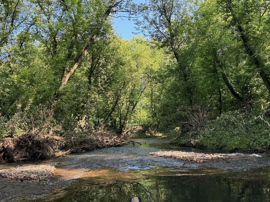
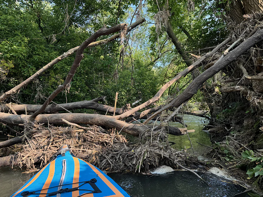
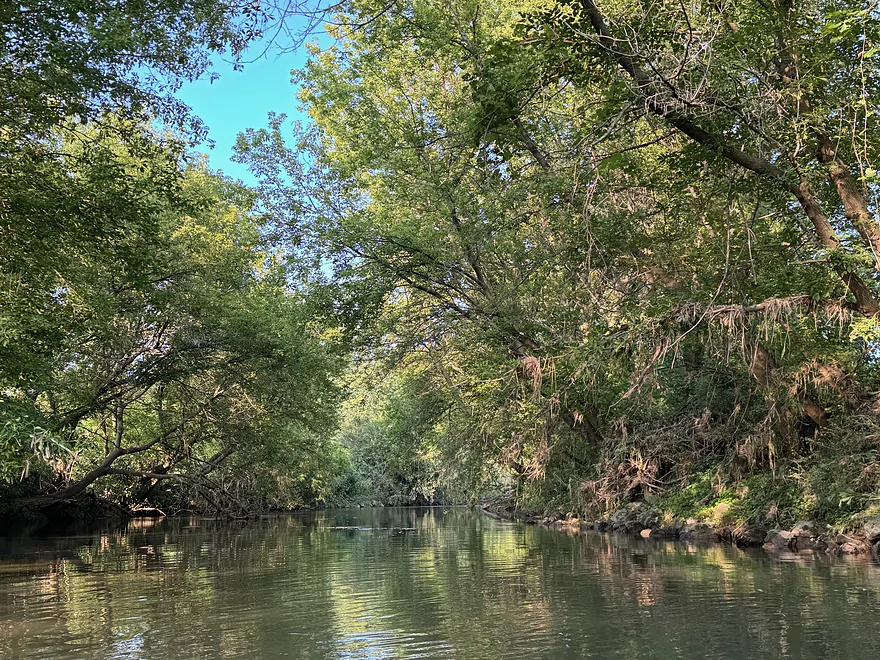
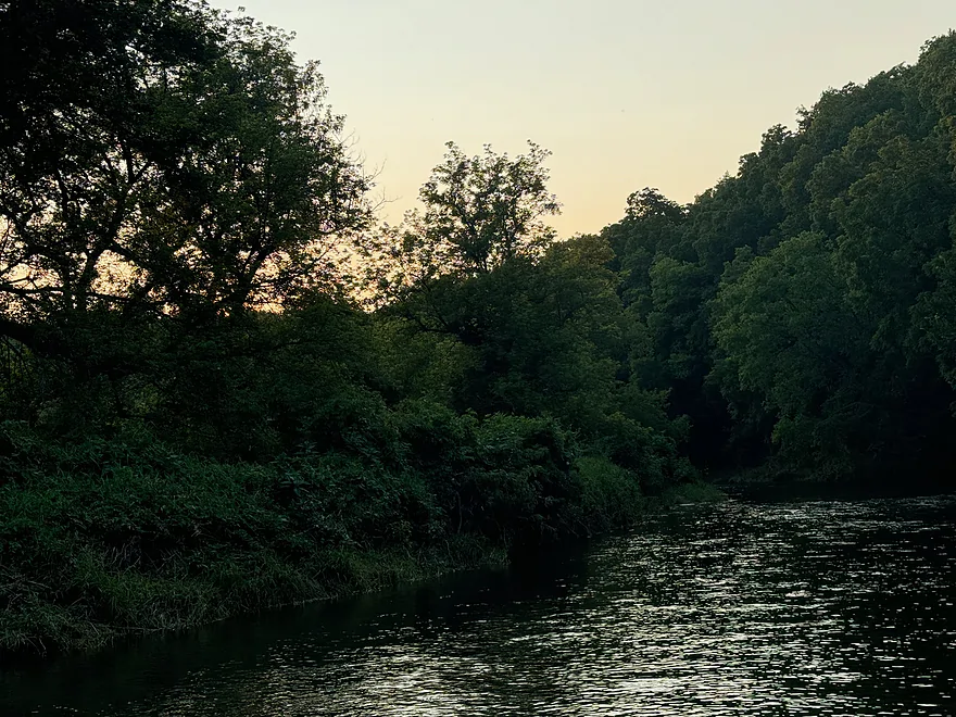
2nd log jam…none after this point
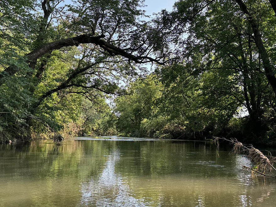
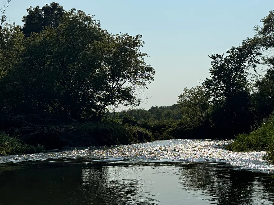
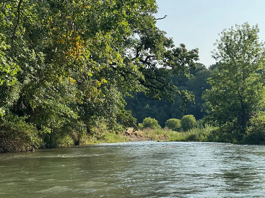
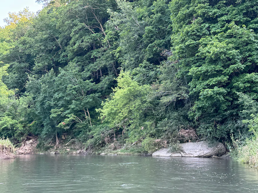
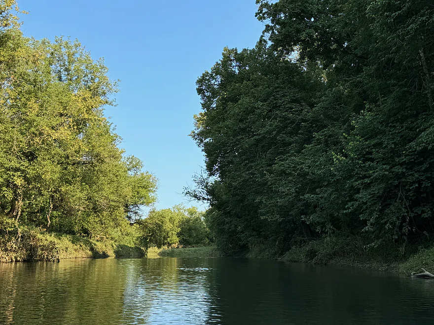
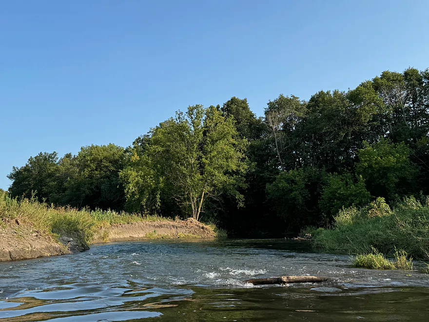
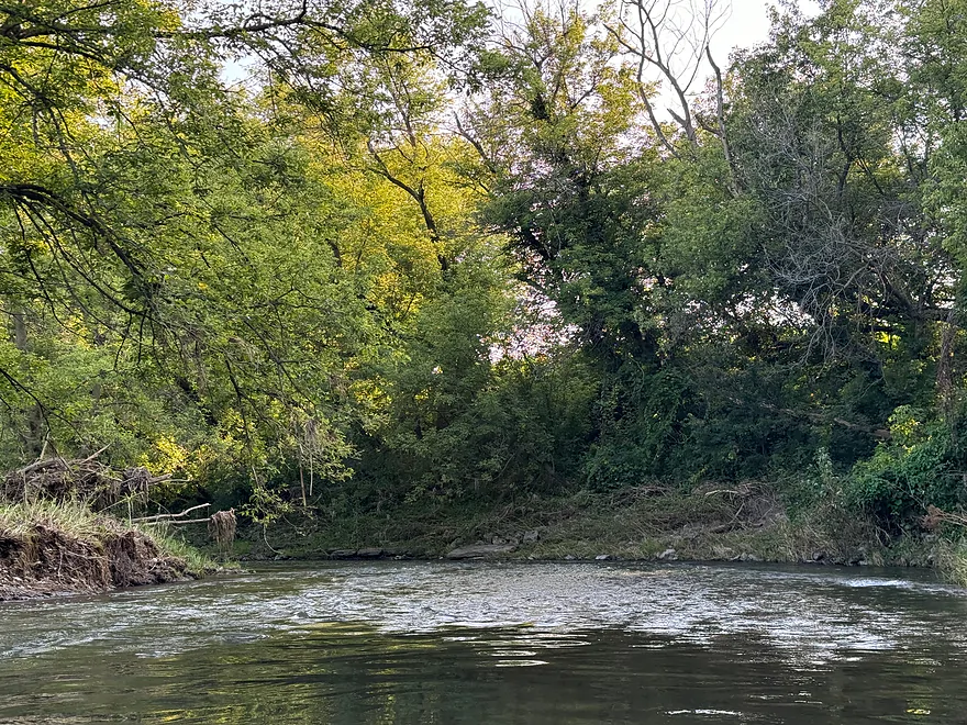
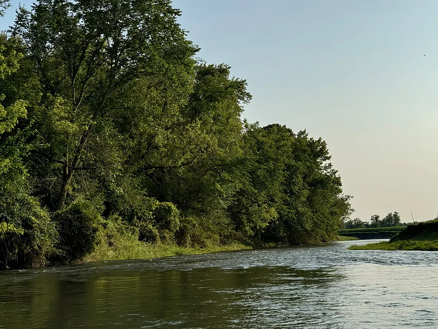
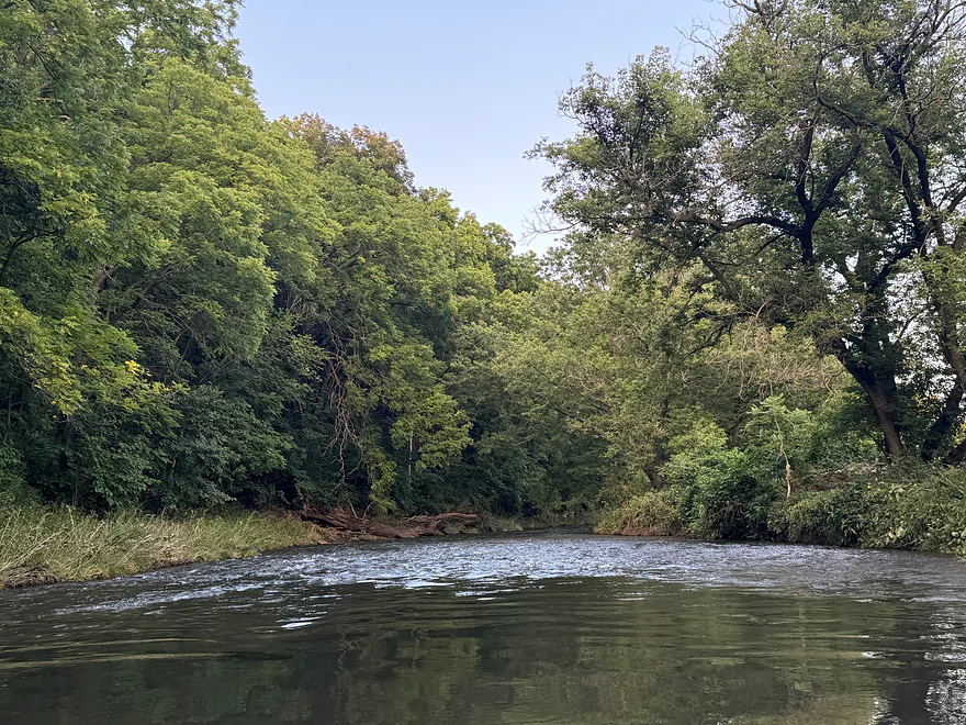
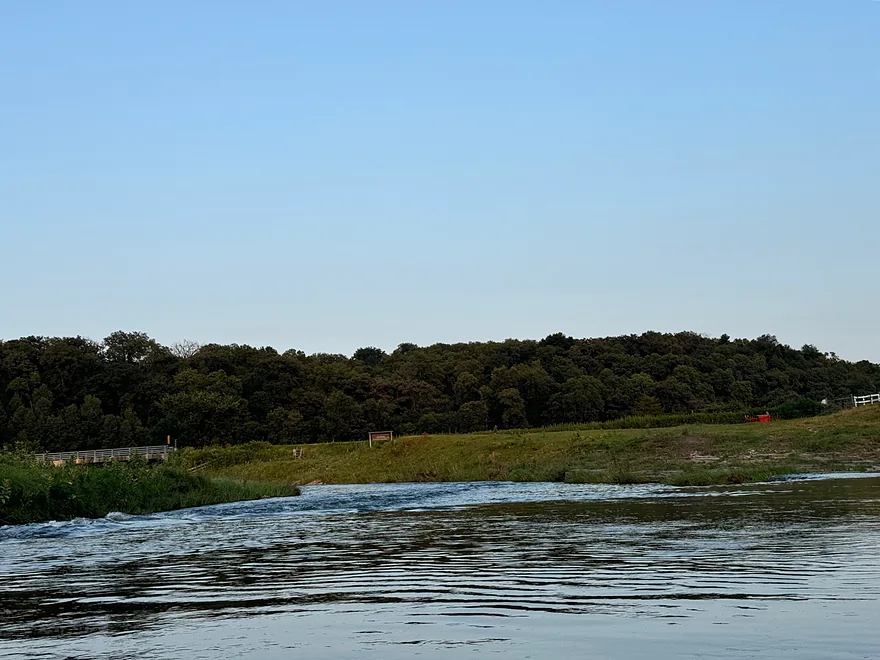
Twin Bridge Rd…river opens up after this point but there is not a good access point
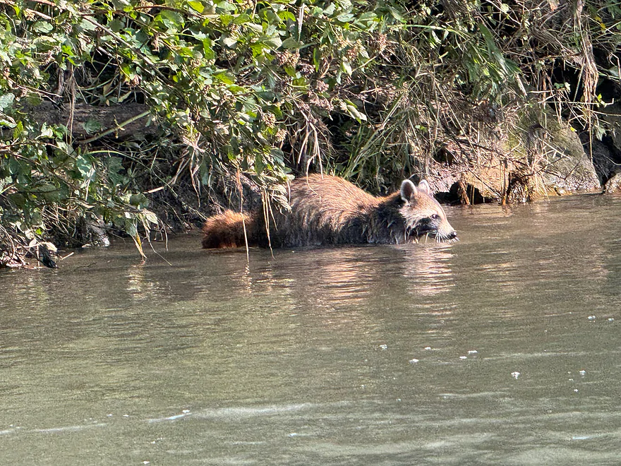
Raccoon in the water
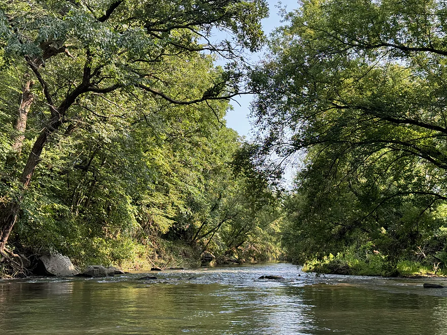
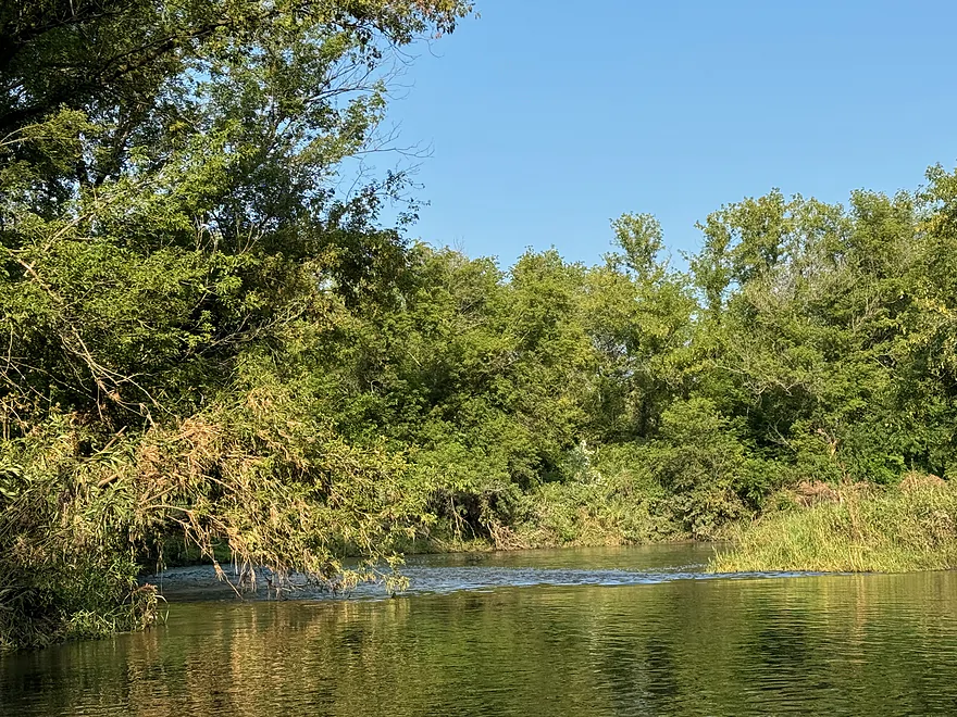
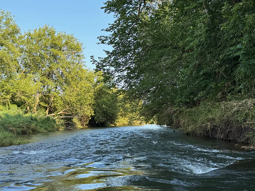
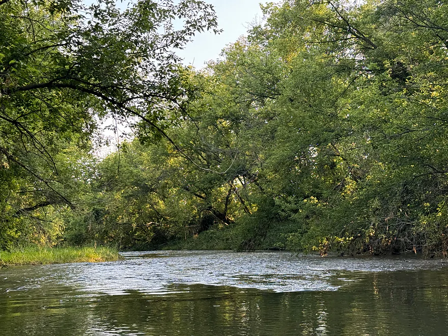
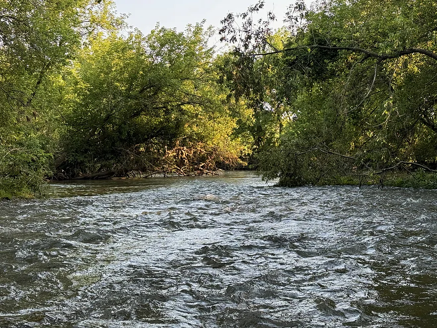
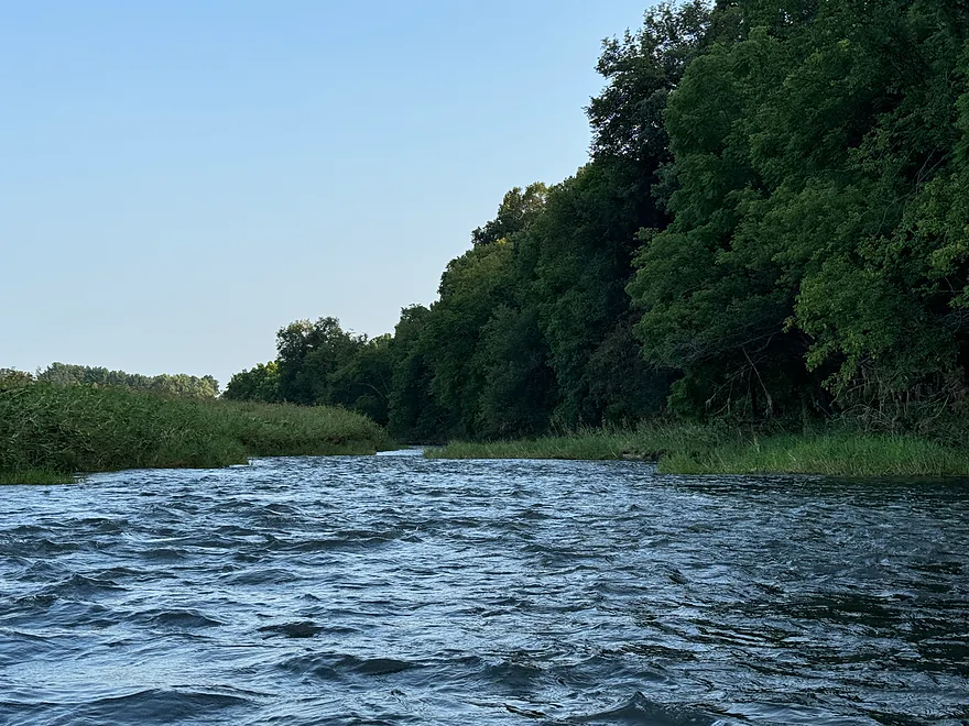
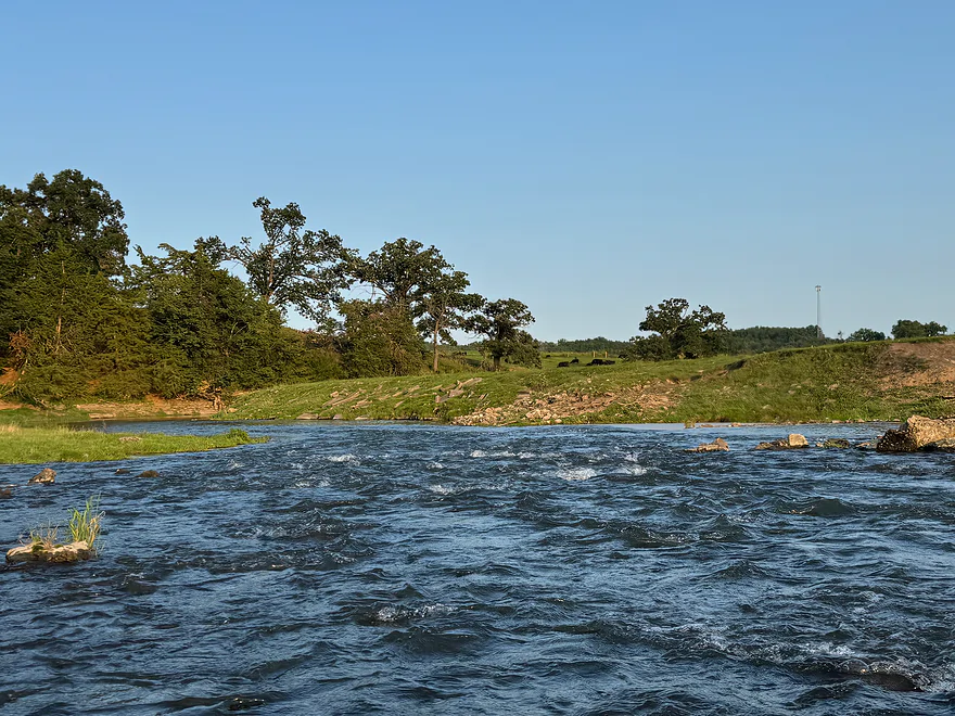
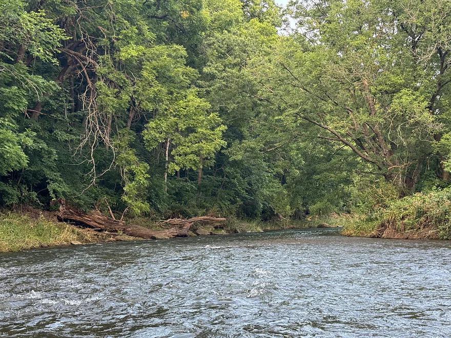
One of many riffles
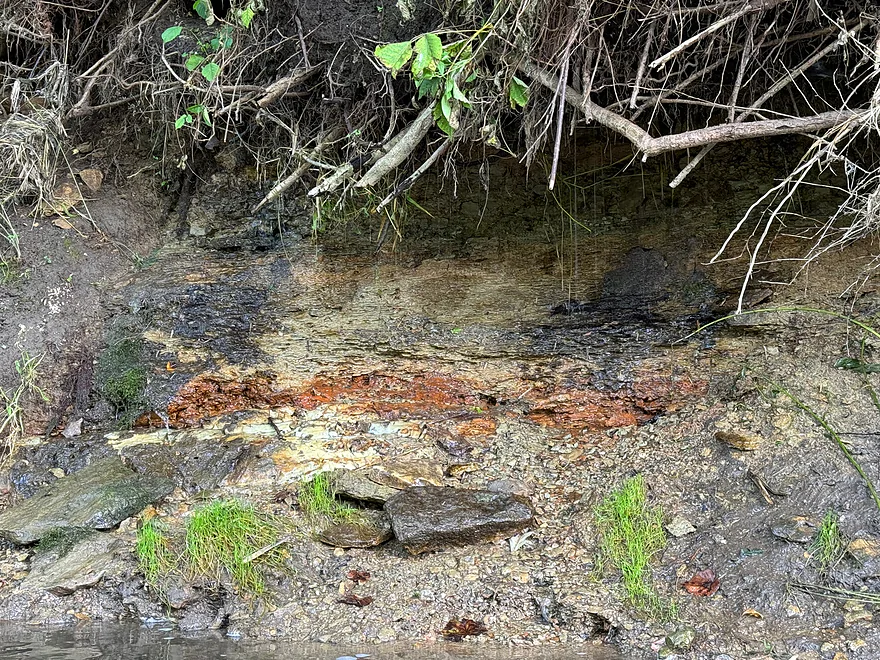
Water emerging from a spring
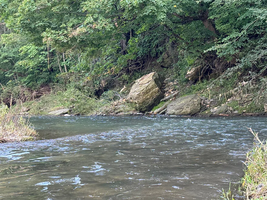
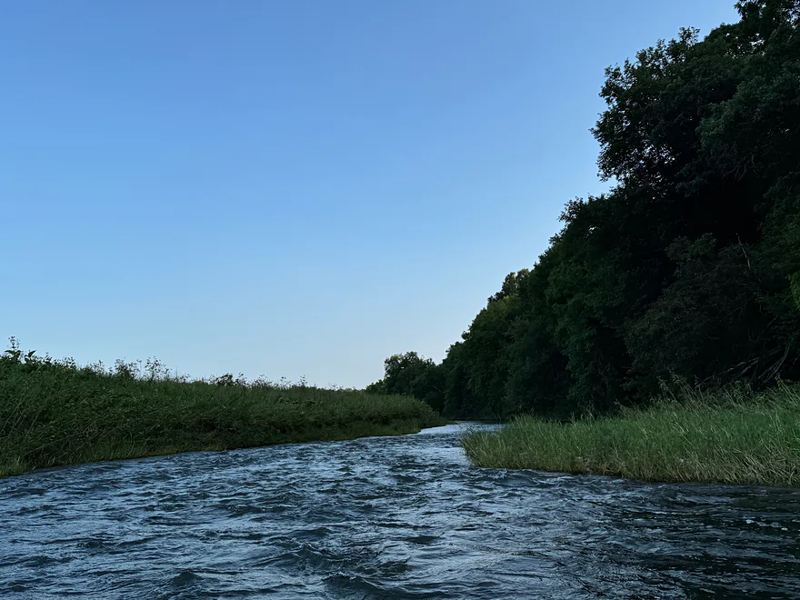
Reverse look at rapids
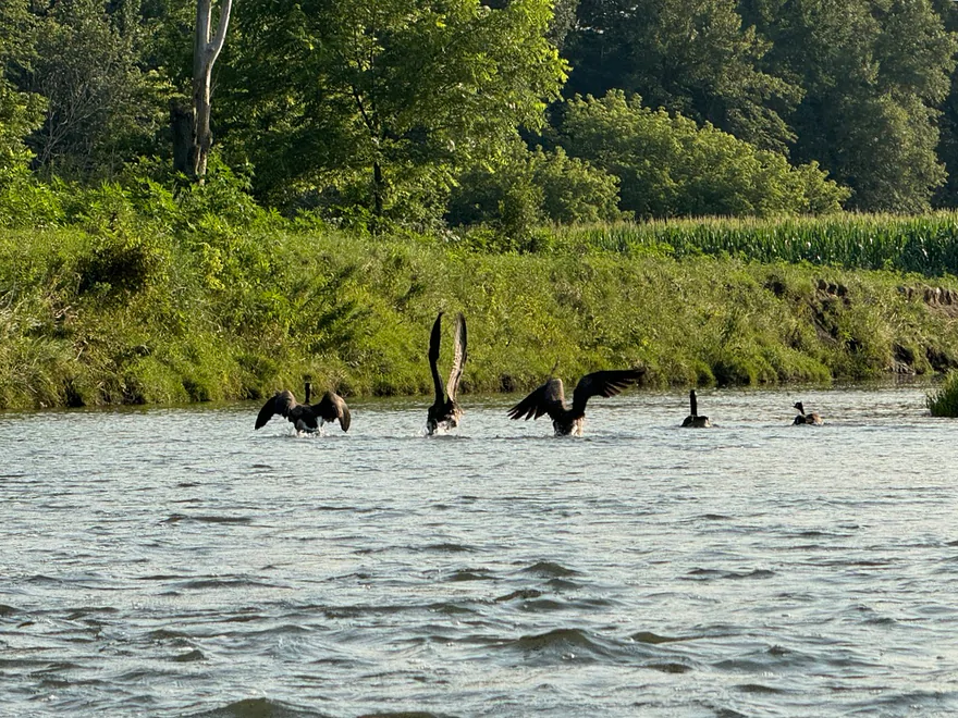
Canadian geese
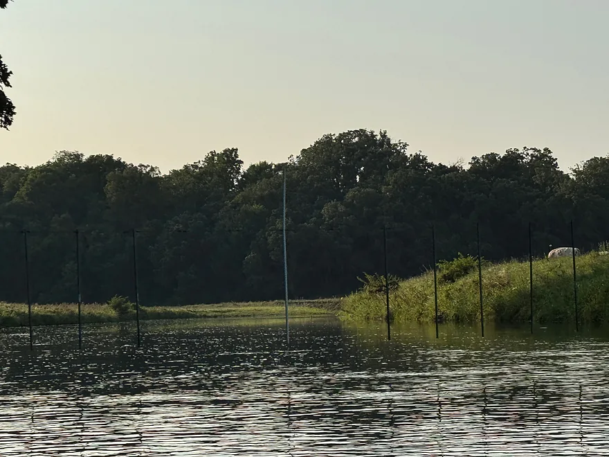
Fence that’s easy to duck under
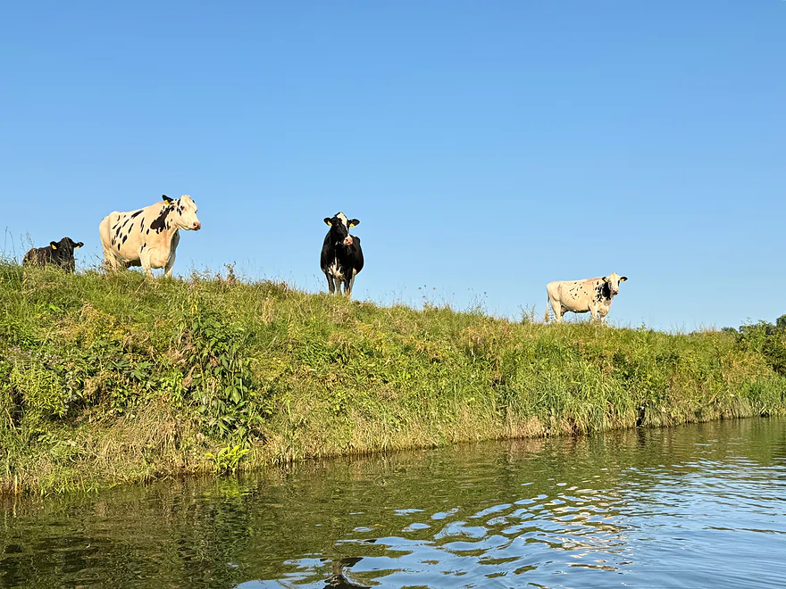
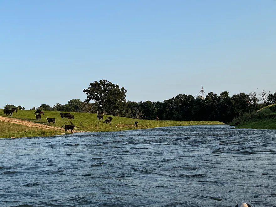
Curious cows
Another fence
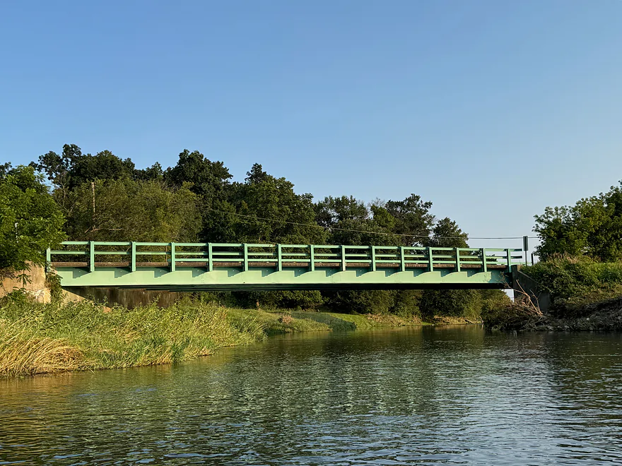
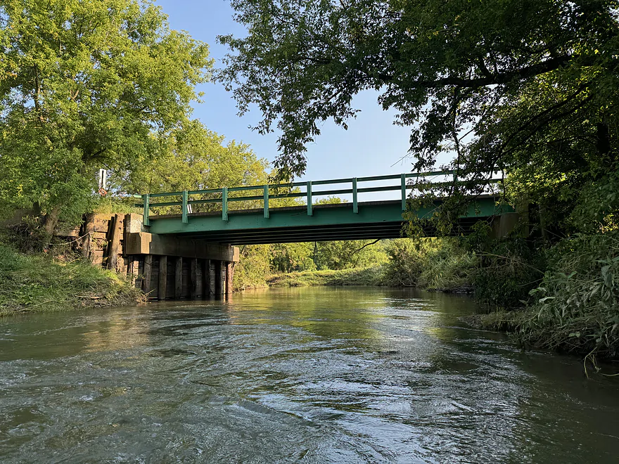
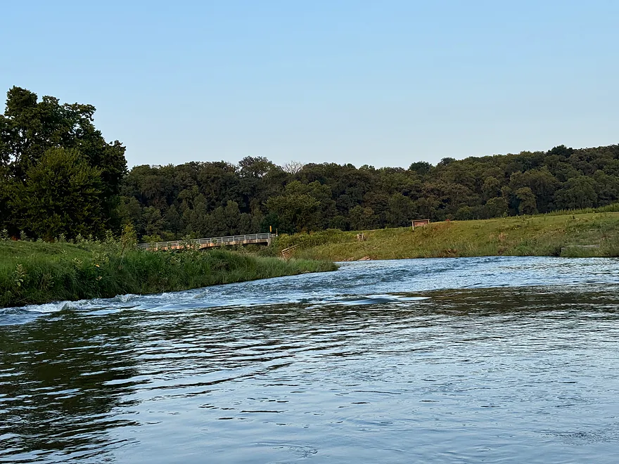
Bean St bridge
Hwy 11 just above the bank
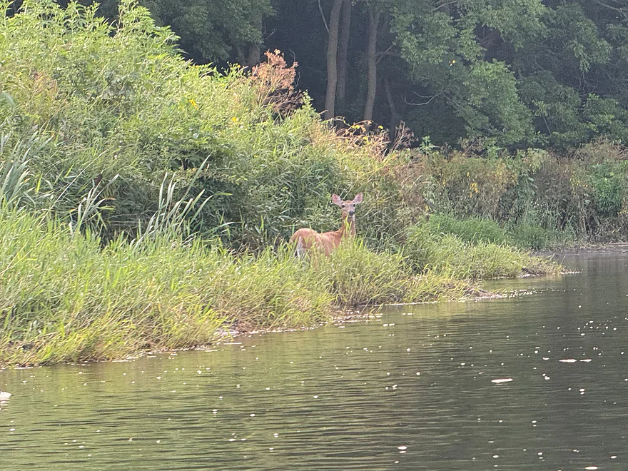
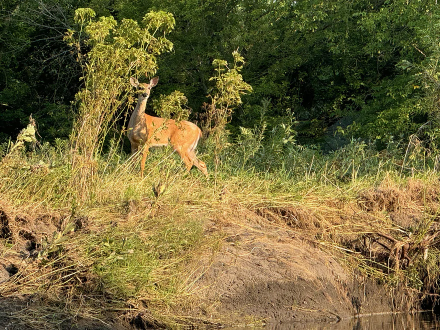
Deer onlooking
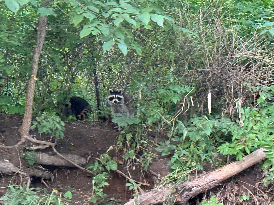
More Raccoons
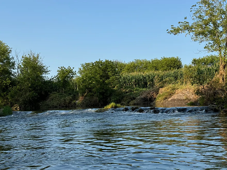
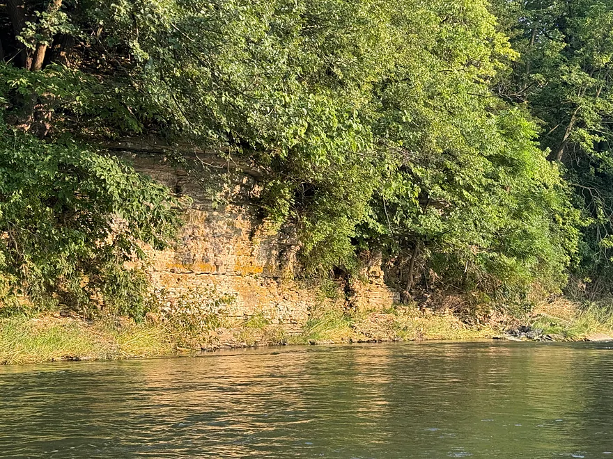
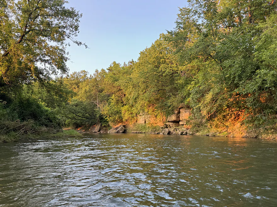
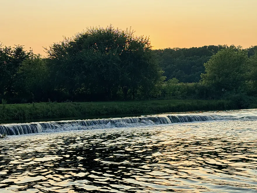
View of the final ledge
Reverse view
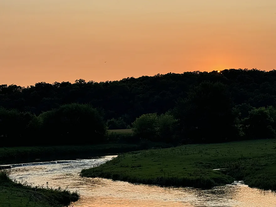
View from Horseshoe Bend Rd after take-out
Fever River – Knee Deep Rd to Horse Shoe Bend Rd


This section of the Fever River is typically very shallow, but the wet summer made the water levels high enough to enjoy this segment.
The trip starts at Knee Deep Rd, which is actually on Madden Branch. The Hwy H Bridge did not have a good access point. There are some riffles and a log jam that had to be cleared. Shortly after, Madden Branch reached the confluence with the Fever River. There was one last log jam to portage shortly after.
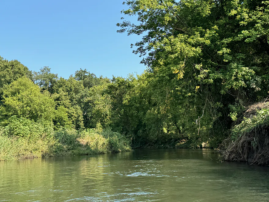
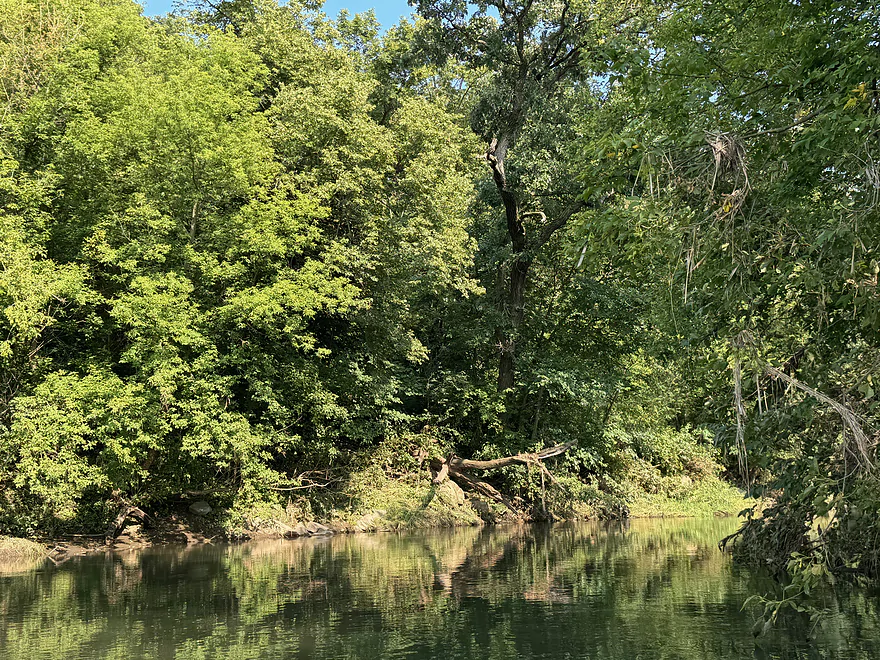
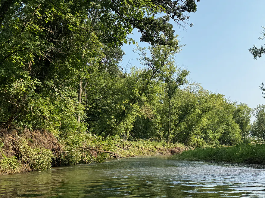
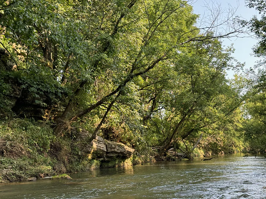
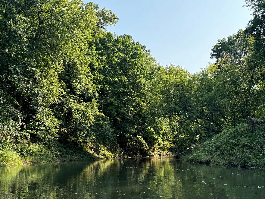
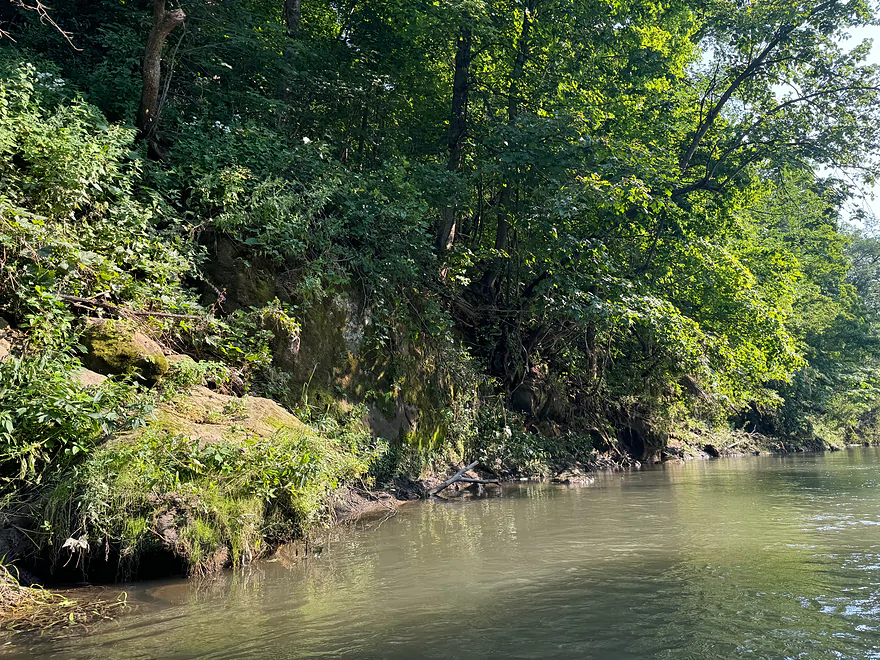
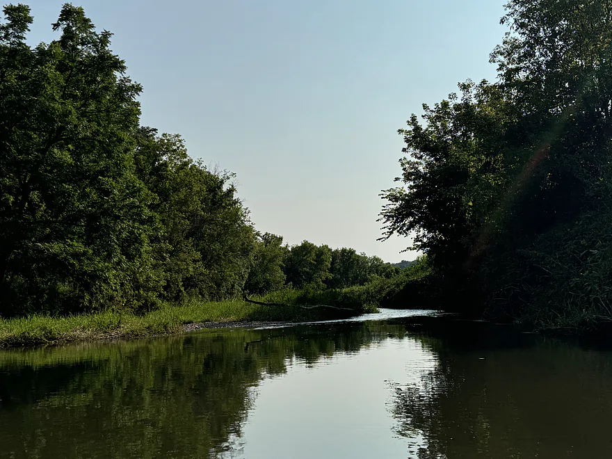
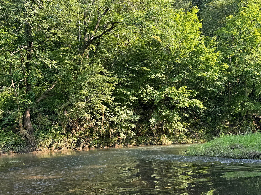
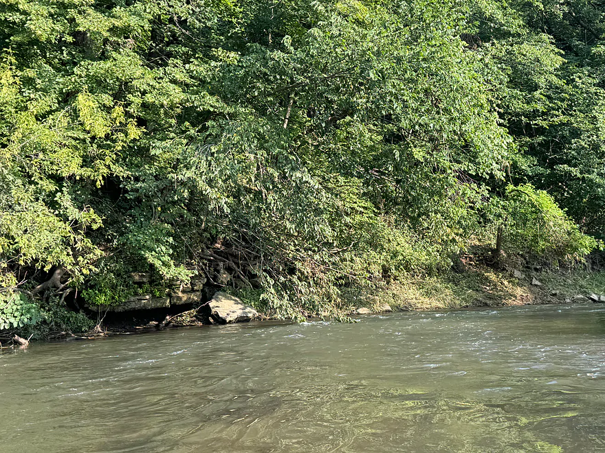
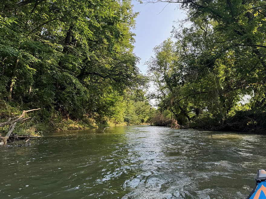
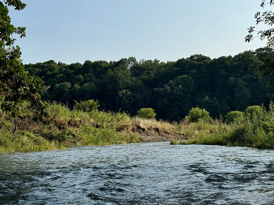
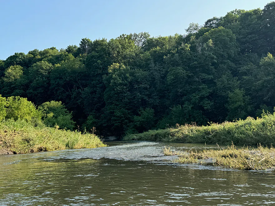
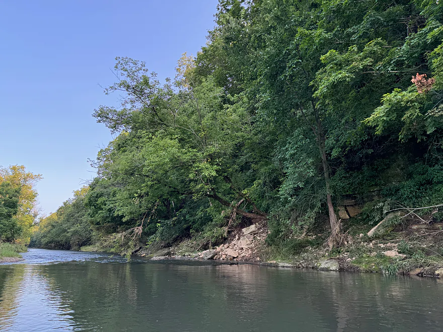
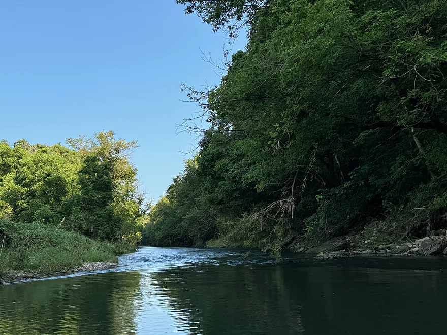
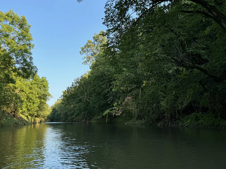
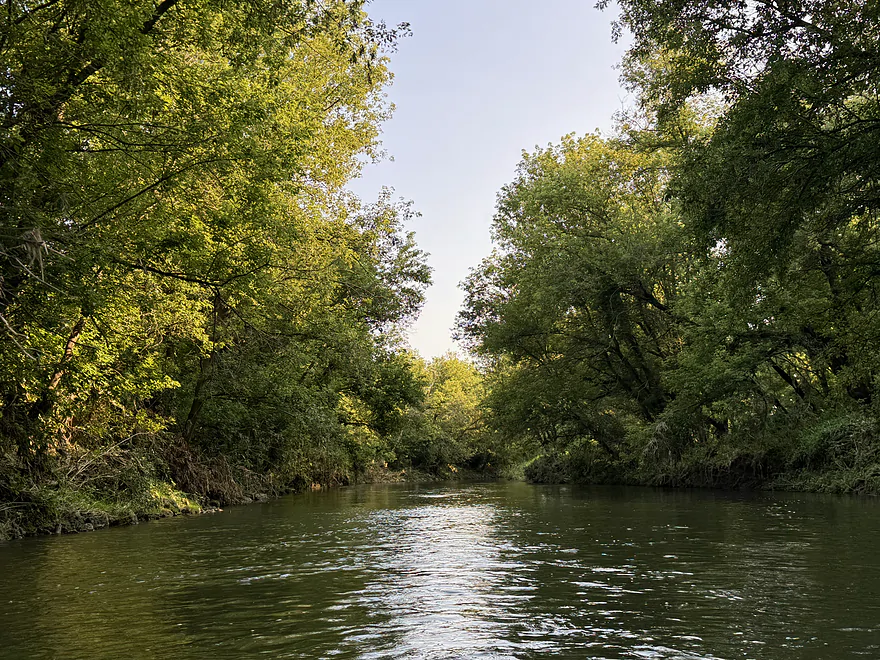
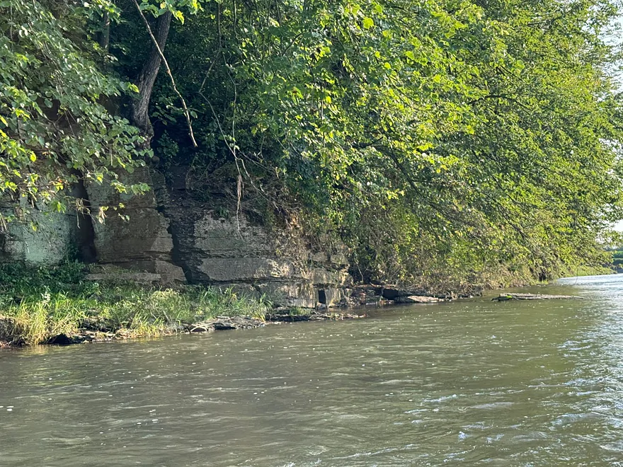
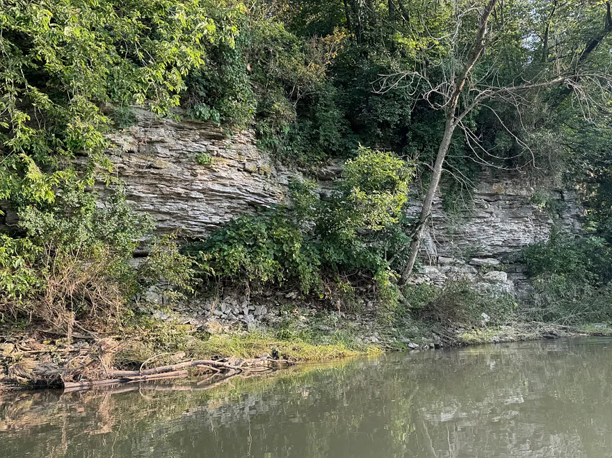
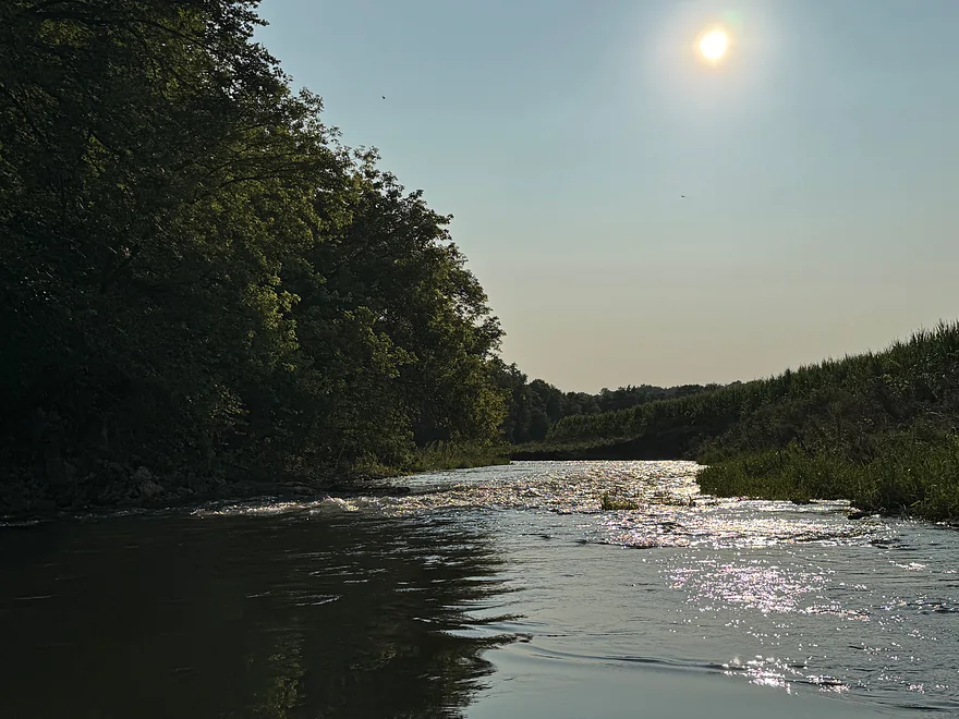
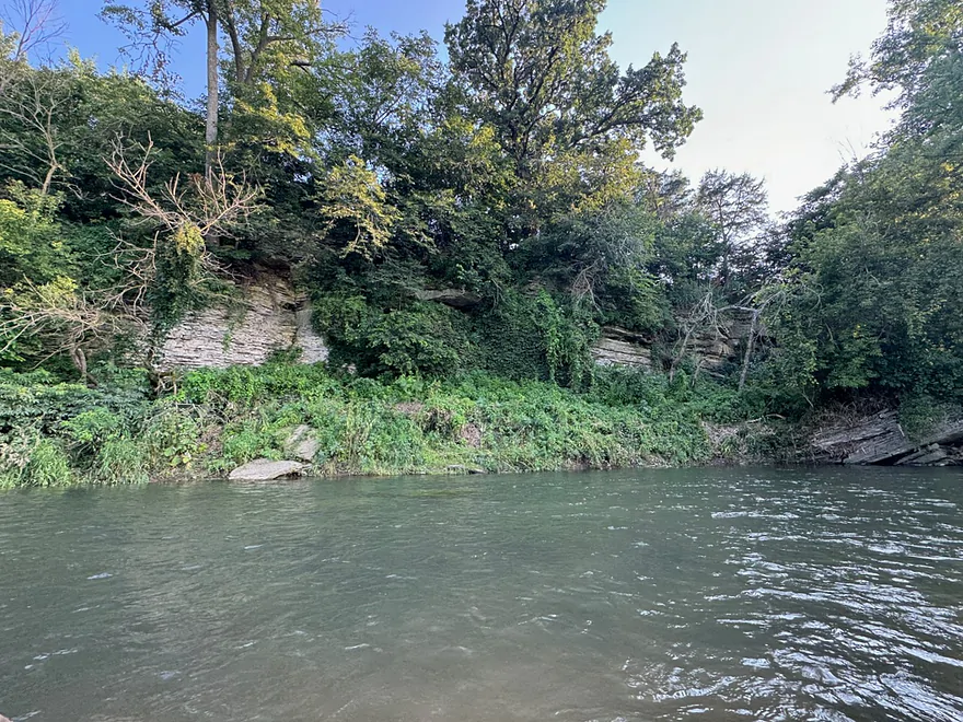
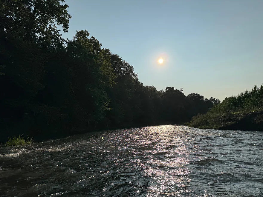
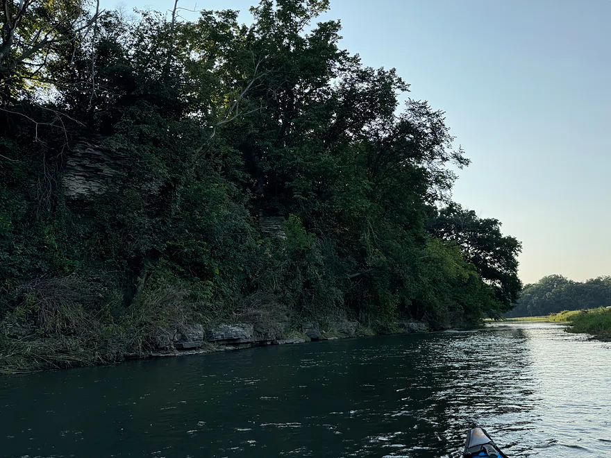
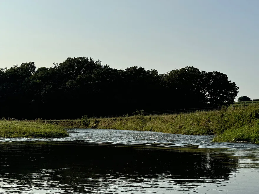
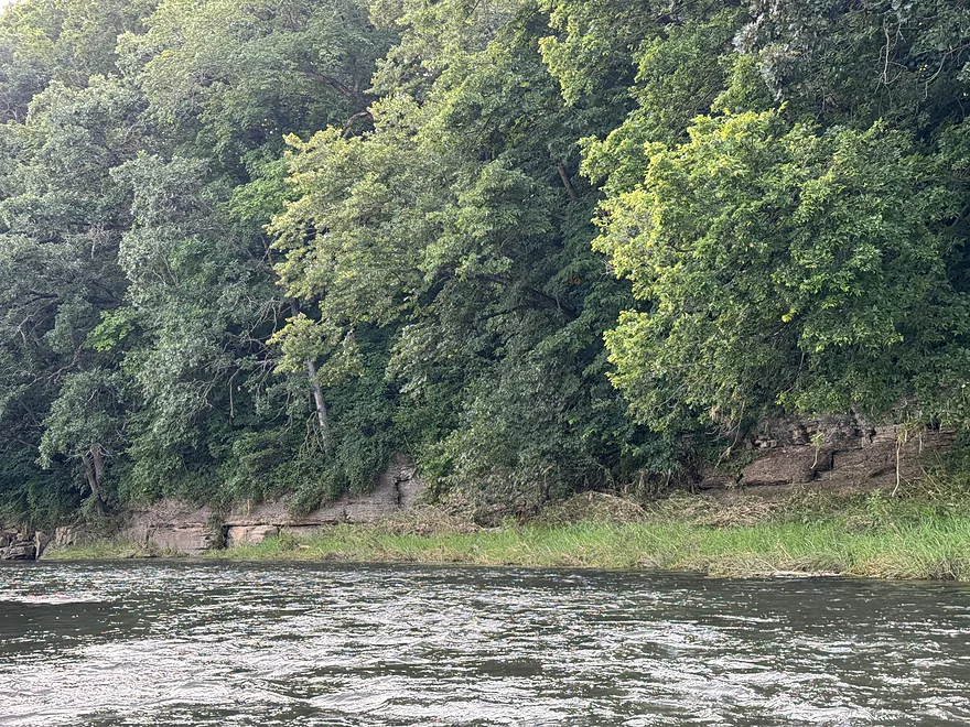
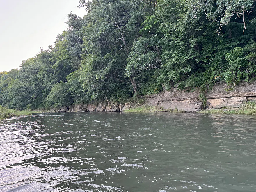
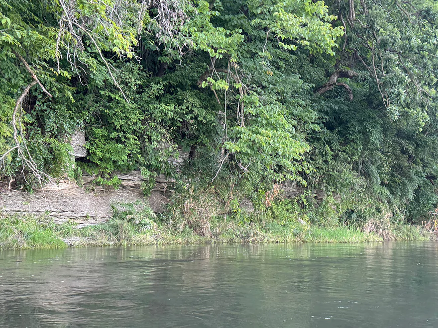
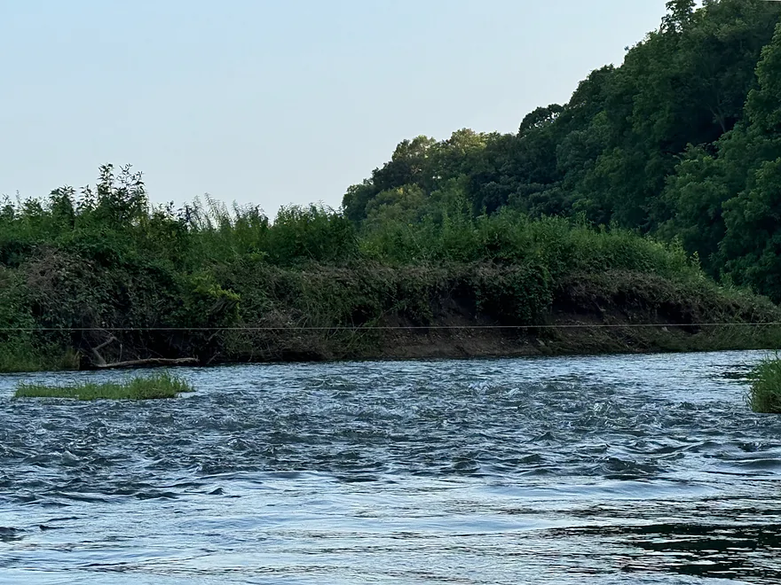
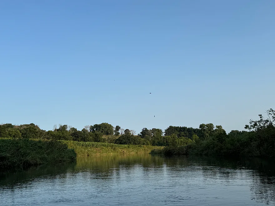
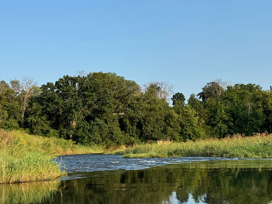
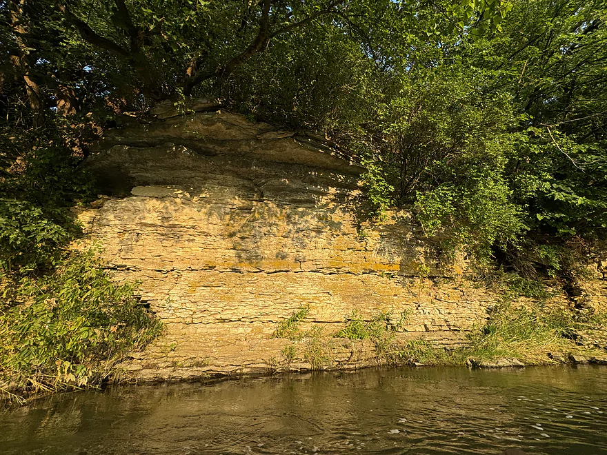
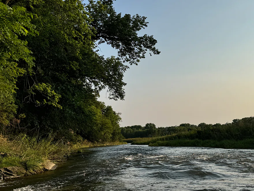
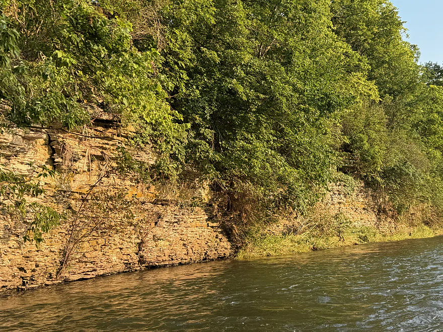
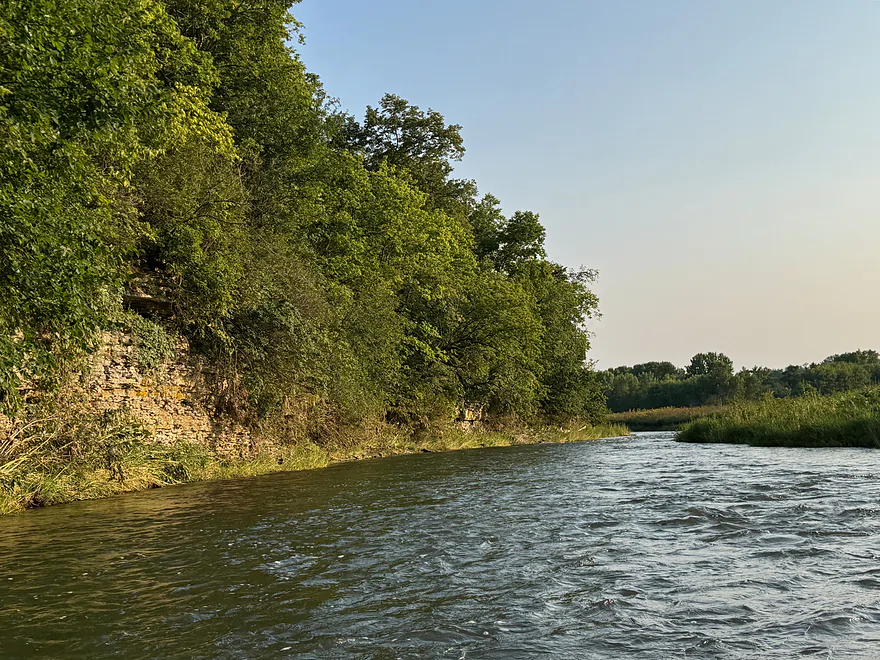
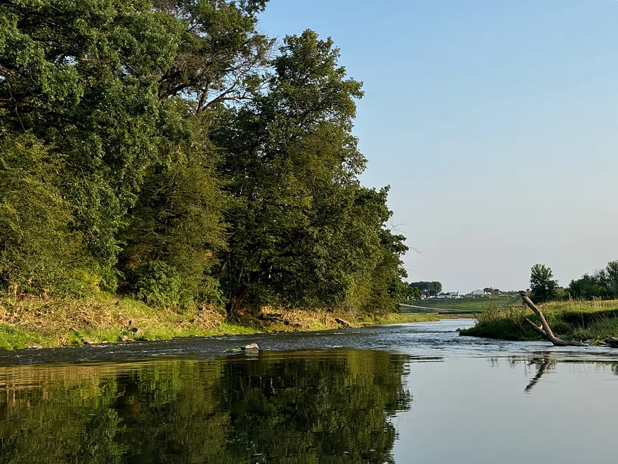
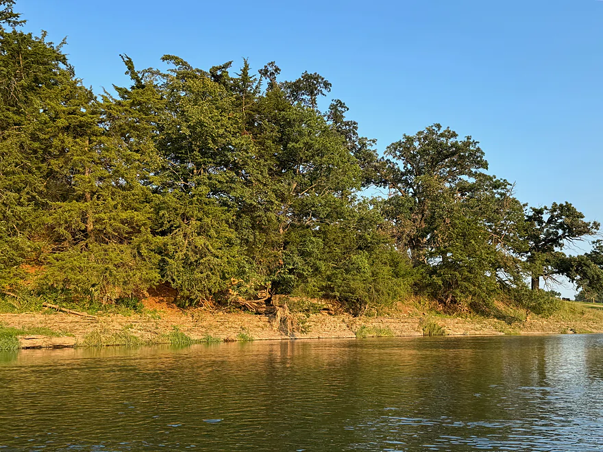
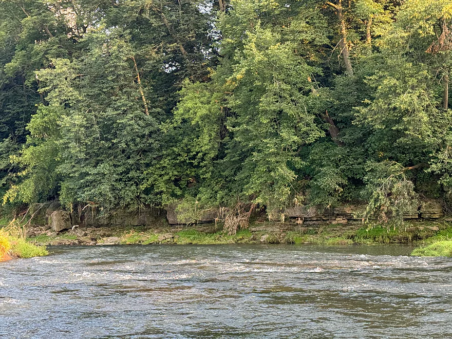
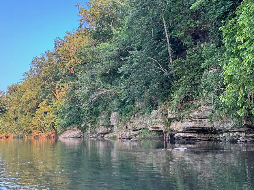
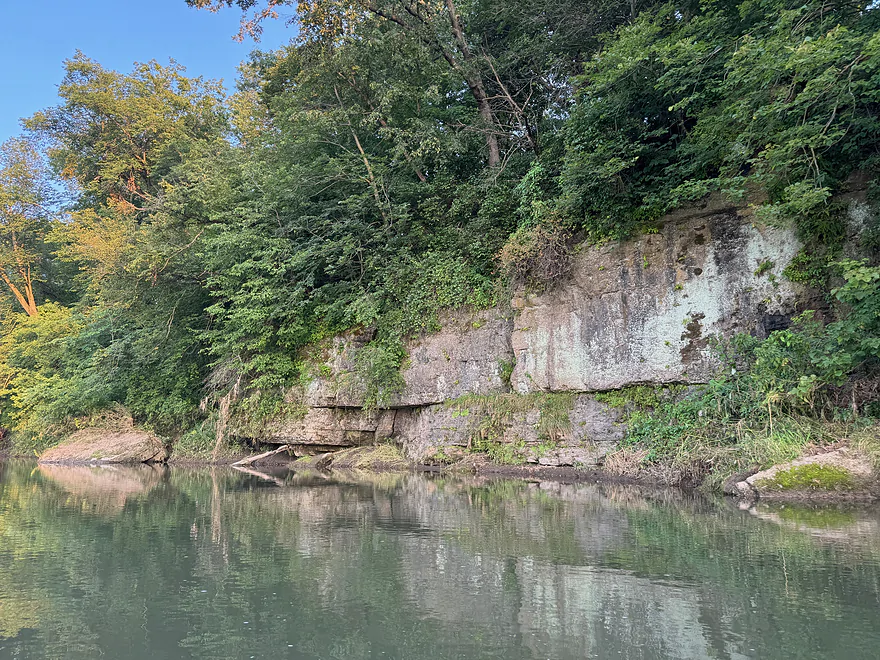
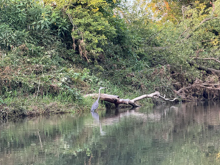
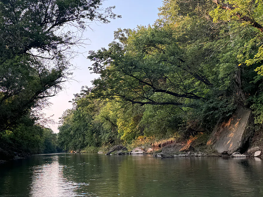
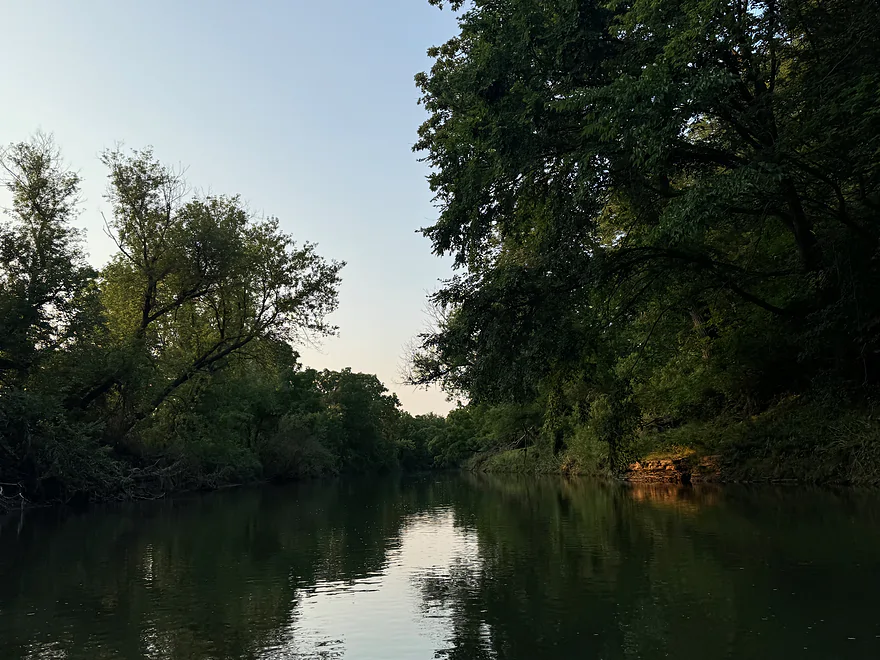
The next bridge was Twin Bridge Rd where the river opened up. The banks are steep and it’s not a very good place to put in but the trip becomes much more pleasant after the bridge due to the river widening. There were lots of outcrops, although vegetation covers many of them. There are numerous riffles and Class I rapids between Knee Deep Rd and the end of the trip at Horseshoe Bend Rd. Lots of wildlife can be seen including deer, raccoons, geese and blue herons.
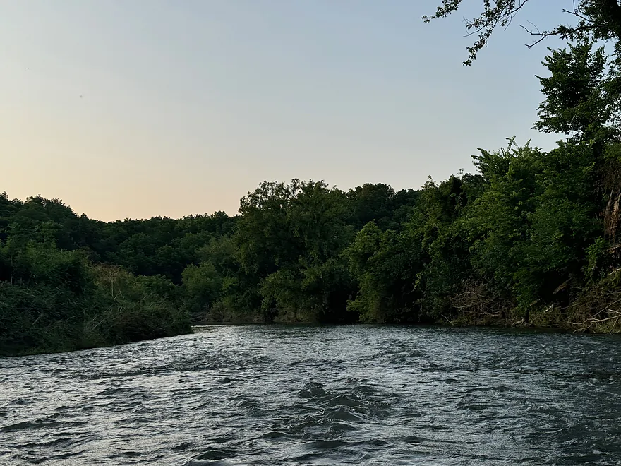
Overall this is a very scenic and fun paddle with a lot of fun light rapids. However, it’s recommended to paddle only when the water level is above 3 feet.
Thanks Peter for the review! WisconsinRiverTrips.com is always very appreciative of guest reviews, and if you the reader is ever interested in submitting one, you can use this online form.
Detailed Overview
- Upstream from Knee Deep Road: The creek is likely too small to run. Peter noted that Hwy H doesn't have a good access option.
- Knee Deep Road to Bean Street: 6.4 miles.
- Knee Deep Road to Twin Bridge Road: 1.3 miles. Creek is small and a bit congested. There will be 1-2 logjams, but also some outcrops.
- Twin Bridge Road to Bean Street: 5.1 miles. River widens noticeably after Twin Bridge Road. This is a shallow trip with good geology and many Class 1 rapids. There may be cow fences to deal with.
- Bean Street to Hwy W: 8.0 miles. Great section with limestone outcrops and many light rapids.
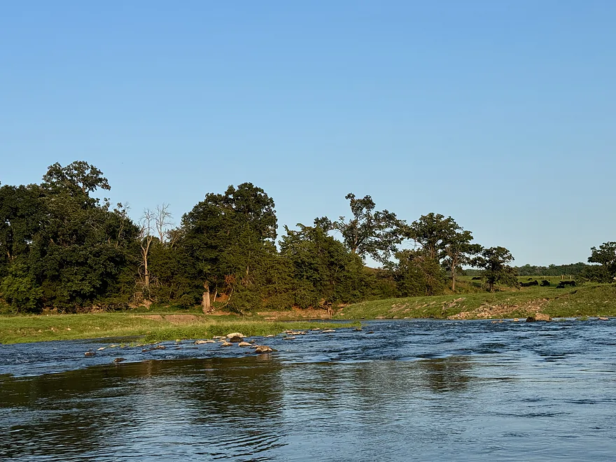
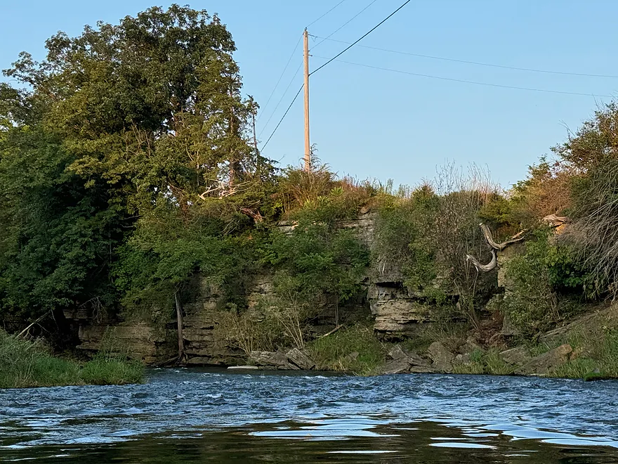
- Bean Street to Horse Shoe Bend: 2.2 miles. A five star section with open oak savannas, fun rapids including a one-foot ledge and a wonderful limestone wall north of Hwy 11. One fence to duck under which is low but manageable.
- Horse Shoe Bend to Bennett Road: 4.1 miles. You should be able to launch at Horse Shoe Bend no problem (public fishing area). This segment is not as interesting and a bit weedy and overgrown, but still fast and with a few really nice outcrops. One tricky fence to get under.
- Bennett Road to Hwy W: 1.8 miles. Bennett Road should be doable as a put-in (another fishing access). River really opens up after this bridge and is quite nice with more rapids and a few limestone outcrops.
- Hwy W to Buncombe Road Fishing Pull-off: 5.8 miles. A great section on the Fever with some cool tunnels.
- Buncombe Road to W. Council Hill Road: 5.5 miles.
- Buncombe Road to N. Birkbeck Road: 3.0 miles.
- N. Birkbeck Road to W. Council Hill Road: 2.5 miles. Put-in and take-out are likely very brushy and somewhat difficult (but think they are doable). Parking at W. Council Hill Road is a challenge.
- W. Council Hill Road to W. Buckhill Road: 4.4 miles. Both put-in and take-out are brushy with W. Buckhill being more feasible.
- W. Buckhill Road to Galena/Depot Park: 5.0 miles. This stretch starts interesting with good driftless scenery and riffles. Then it becomes slower and less interesting. The last part through historic Galena is very pleasant.
- Galena/Depot Park to Mouth/Gear's Ferry Landing on Mississippi River: 5.6 miles. On the Mississippi veer right and paddle upstream to reach the boat ramp. Motorboat traffic might be an issue.
Trip Map
Overview Map
Photos Size: