Maunesha River
This is a surprisingly nice tributary to the Crawfish River. The leg through Waterloo is the best stretch…this features attractive wooded banks and fun rapids.
Trip Reports
Hwy TT to Lion's Park in Marshall

Date Paddled: June 22nd, 2019
Distance: 3.0 miles
Time: 3 hours 6 minutes (90 minutes would be more typical)
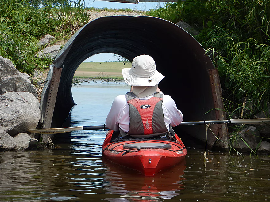
Thanks to recent cleanup efforts, this part of the upper Maunesha is now a viable water trail. This isn't a five star trip and the current is pretty slow, but it does have some neat parts.
Read More...Marshall Dam to Fireman's Park

Date Paddled: July 19th, 2015
Distance: 8.3 Miles
Time: 6 hours (4 hours would be more typical)
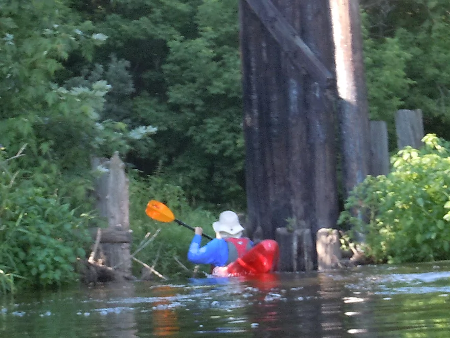
At times a challenging river because of the log jams in fast water, the Maunesha does have its rewards in fun rapids if you stick it out to the end.
Read More...Cherry Lane to Waterloo Firemen's Park

Date Paddled: April 24th, 2021
Distance: 5.2 miles
Time: Expect 2-3 hours
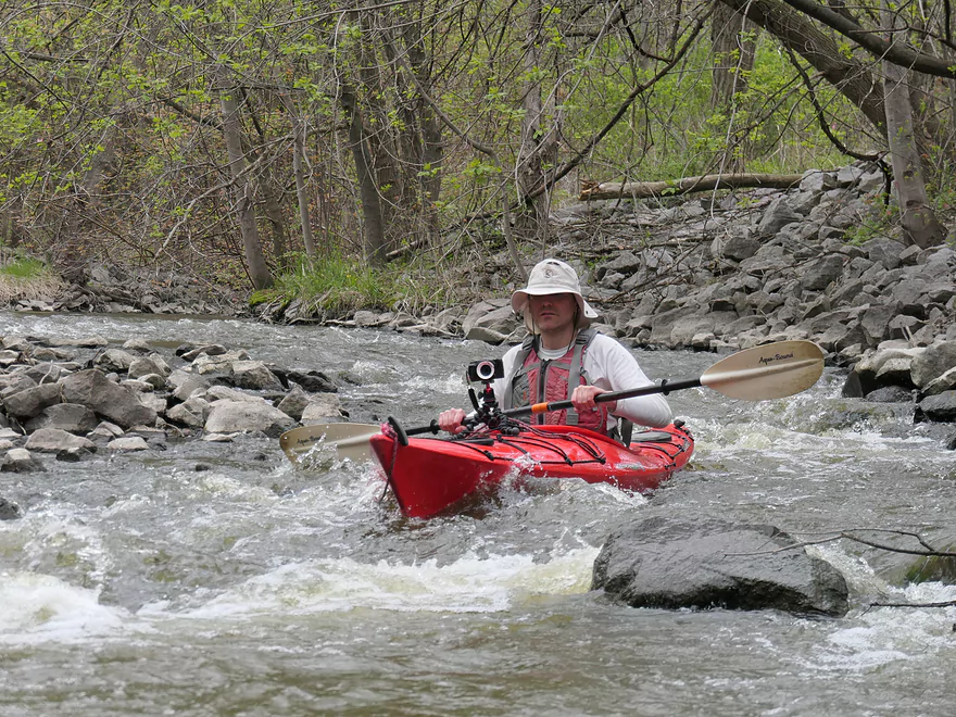
With the removal of a couple of major logjams, the Maunesha has become one of the better water trails in the Madison area. Highlights included lots of wildlife and fun Class 1 rapids through downtown Waterloo.
Read More...Firemen's Park to Hubbleton Road Access

Date Paddled: October 17th, 2020
Distance: 6.4 miles
Time: Expect 3 hours
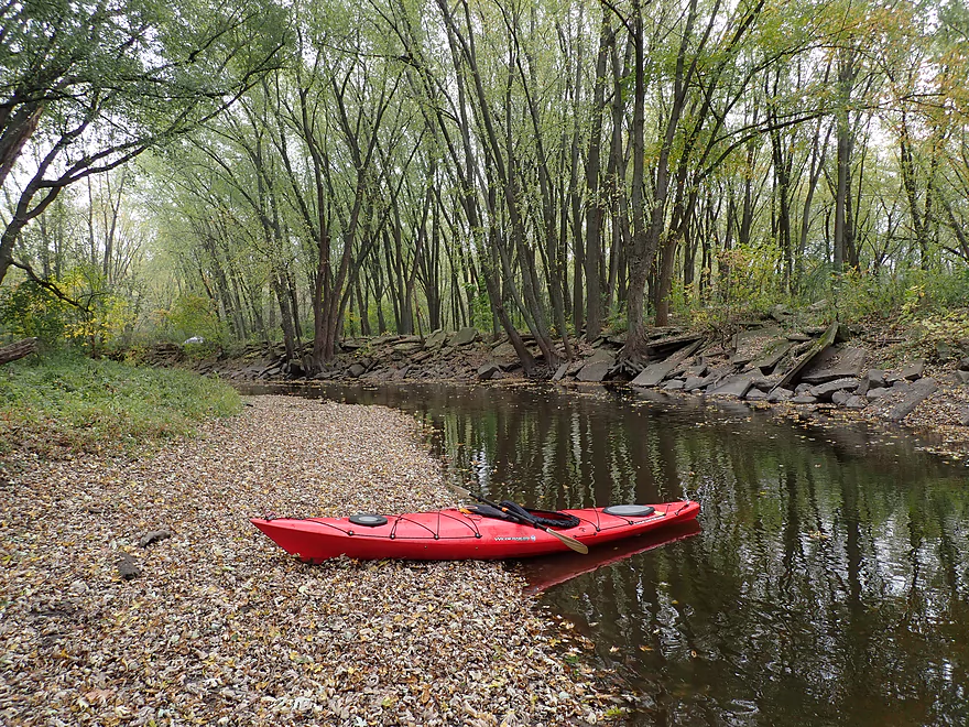
The final leg of the Maunesha has recently benefited from some major cleanup work. It is now a really nice wooded paddle.
Read More...Overview Map
Detailed Overview
- Elder Lane to E. Branch Road: 1.8 miles. Likely too many logjams.
- E. Branch Road to Twin Lake Road: 1.1 miles. Likely too many jams.
- Twin Lake Road to Greenway Road: 1.4 miles. Likely too many jams.
- Greenway Road to Hwy TT: 4.0 miles. Passes through the Deansville State Wildlife Area. Logjams are likely a major concern, but some of these should be cleaned out in the process of being cleaned out. Greenway Road is likely NOT a feasible access.
- Hwy TT to Lion's Park: 3.0 miles.
- Hwy TT to Charles Langer Family Park: 1.4 miles. Slow current, a bit muddy and partly wooded. This was recently cleared of logjams.
- Charles Langer Family Park to Lion's Park: 1.5 miles. A lake paddle on Marshall Millpond. The banks are heavily developed but still somewhat interesting.
- Marshall Dam to Cherry Lane: 4.0 miles.
- Dam/Waterloo Road Access to Waterloo Road Bridge: 1.4 miles. A wider and more open section of the river.
- Waterloo Road Bridge to Cherry Lane: 1.6 miles. Nice wooded section.
- Cherry Lane to Waterloo Firemen's Park: 5.3 miles. A very nice stretch. The first third flowed through a nice woods with thick gravel substrate. The second third is a more open paddle through a former flowage. The last third flowed through downtown Waterloo and contains many fun rapids.
- Waterloo Firemen's Park to Hubbleton Road Landing: 6.4 miles.
- Waterloo Firemen's Park to Hwy 19(1st bridge): 1.2 miles. A scenic wooded stretch.
- Hwy 19(1st bridge) to Hwy 19(2nd bridge): 2.0 miles. A very cool wooded stretch that is quite scenic.
- Hwy 19(2nd bridge) to Hubbleton Road Landing: 2.3 miles. River is wider, more open, and somewhat less interesting compared to upstream sections.
- Hubbleton Road Landing to Hwy BB: 0.9 miles. A short but simple stretch on the Crawfish. There are nice boulders in the river near BB.
