Bakken’s Pond
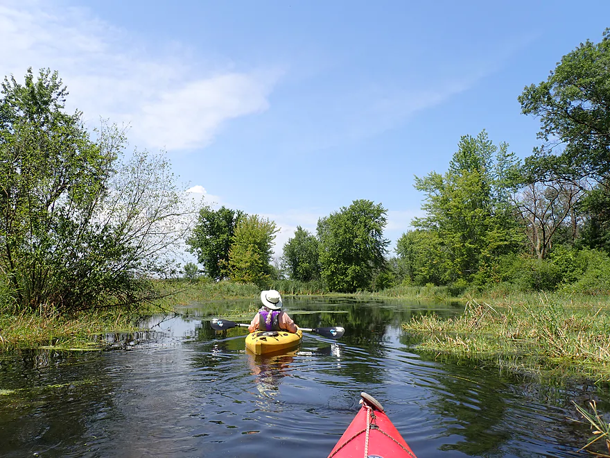


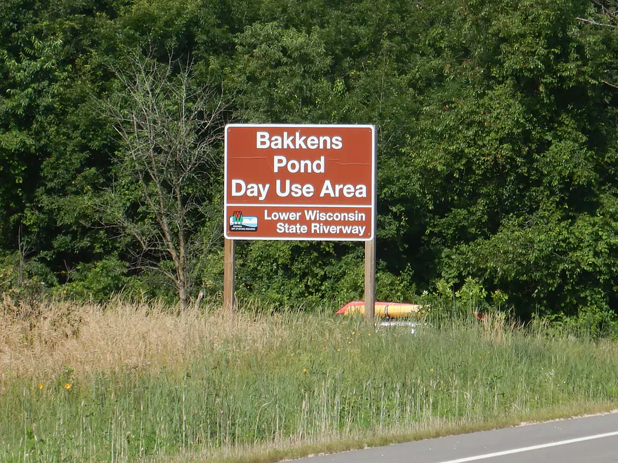
Bakken’s Pond is located between Spring Green and Lone Rock and is a rich ecosystem with countless insects, birds, and marsh plants. Its identity is a bit mixed as it is part creek, part marsh, part slough, and part lake. Despite the massive Wisconsin River being next door, it’s not fed directly by it but instead receives its water from underground “slough springs”.
There are three access points along Kennedy Road to choose from. The original plan was to launch from the far east access and then float down the “current” to Brace Memorial Park and then shuttle back. Unfortunately, upon arriving, we discovered that cattails by the eastern dike blocked access to Bakken’s Pond and this idea had to be nixed. There was an adjacent unnamed marsh pond to the east that could have been kayaked, but we weren’t sure it would be that interesting. Hopefully the DNR can open a corridor below the east dike to provide downstream access in the future.
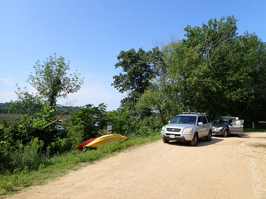
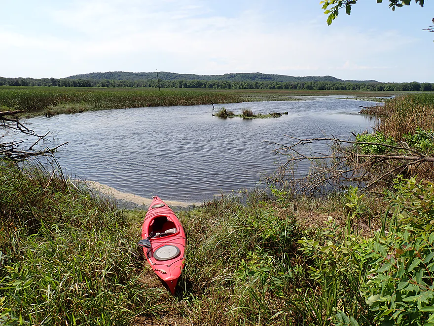
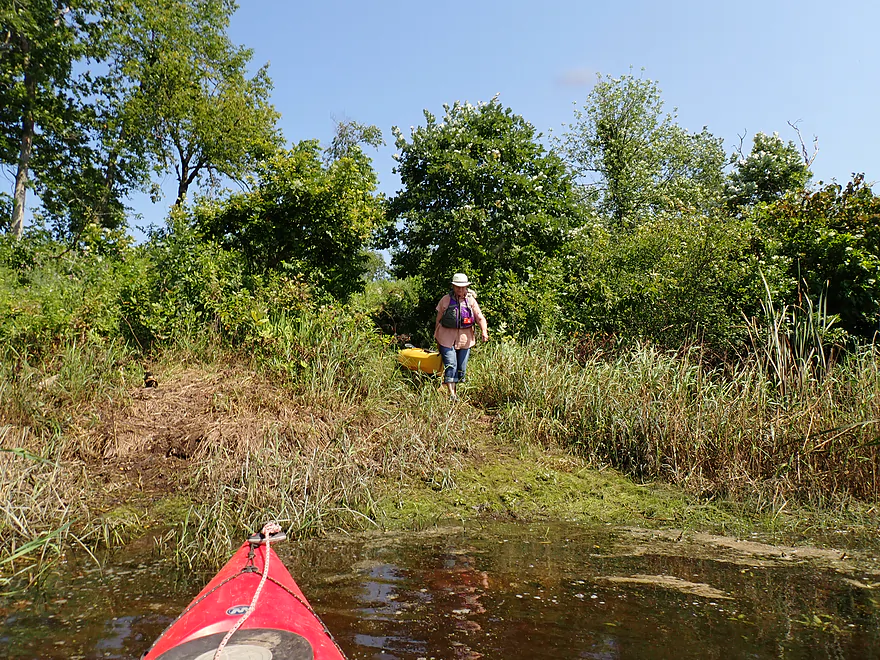
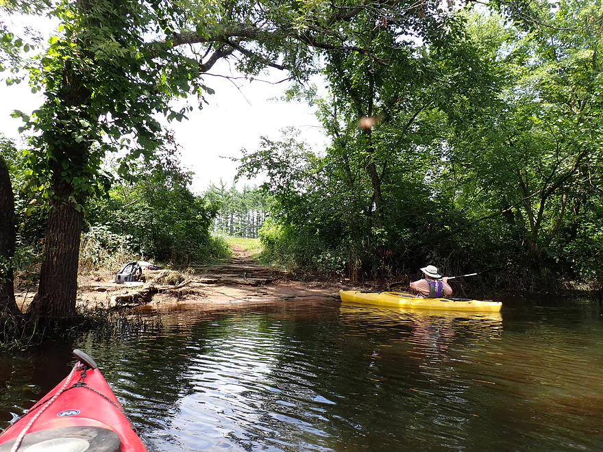
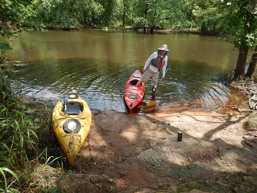
So we changed plans and instead launched from the central access (just south of Ellen Lane) which was a good put-in. If you launch here, you’ll likely have it to yourself as I doubt many others use this spot.
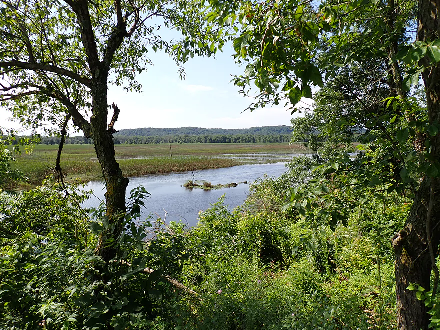
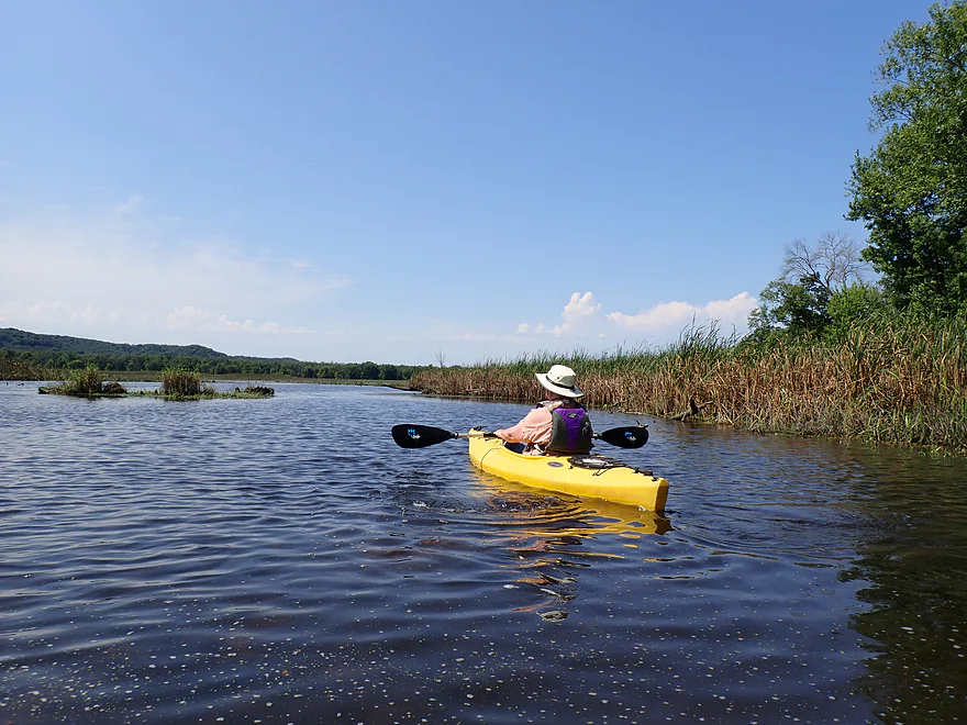
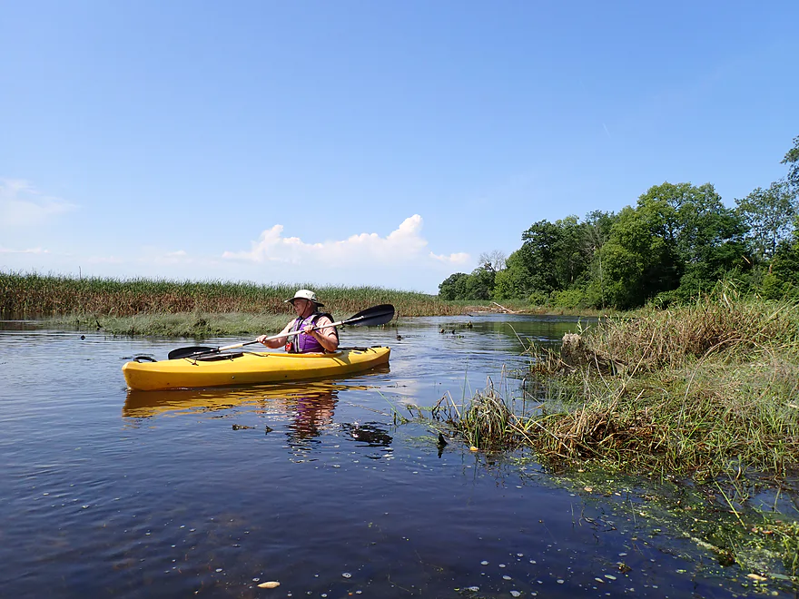
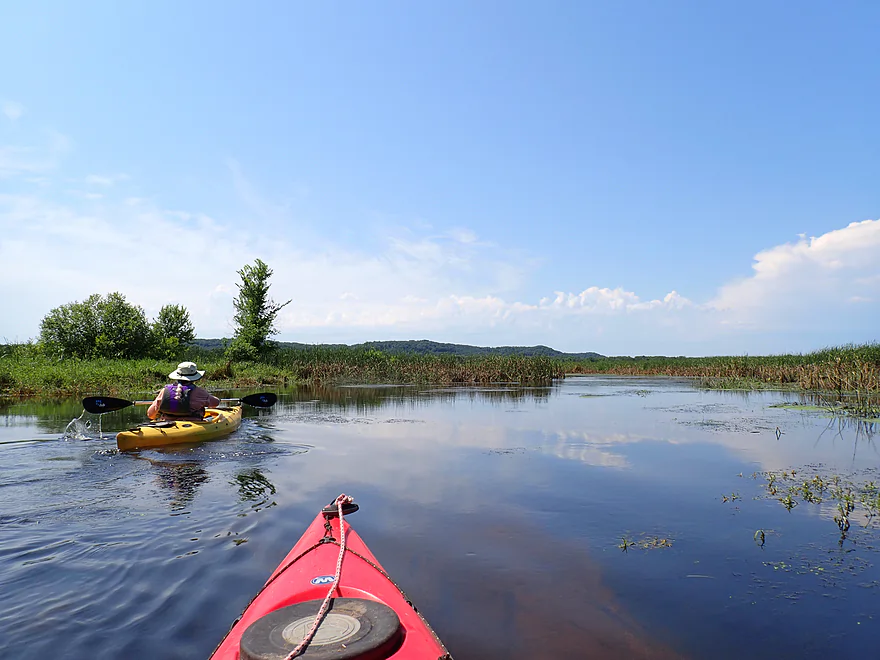
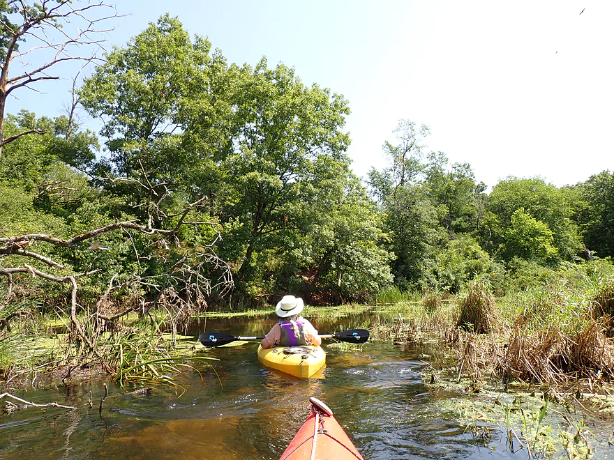
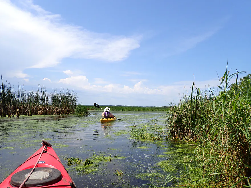
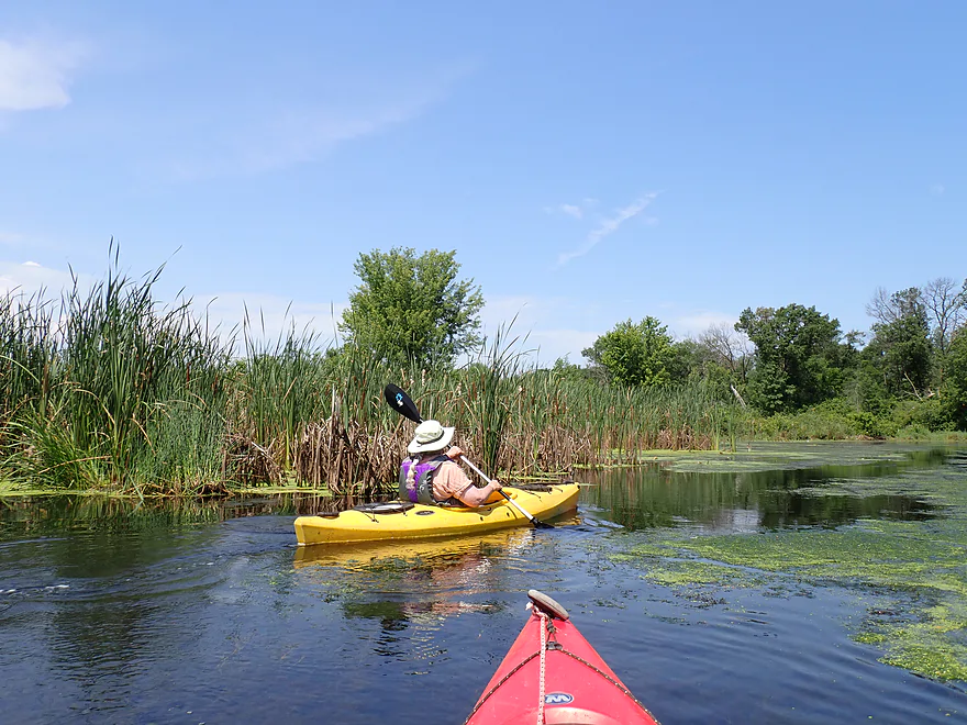
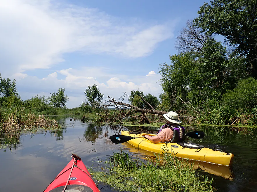
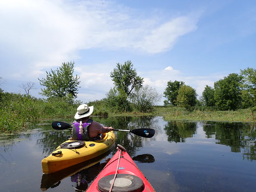
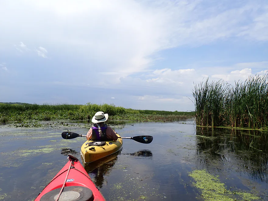
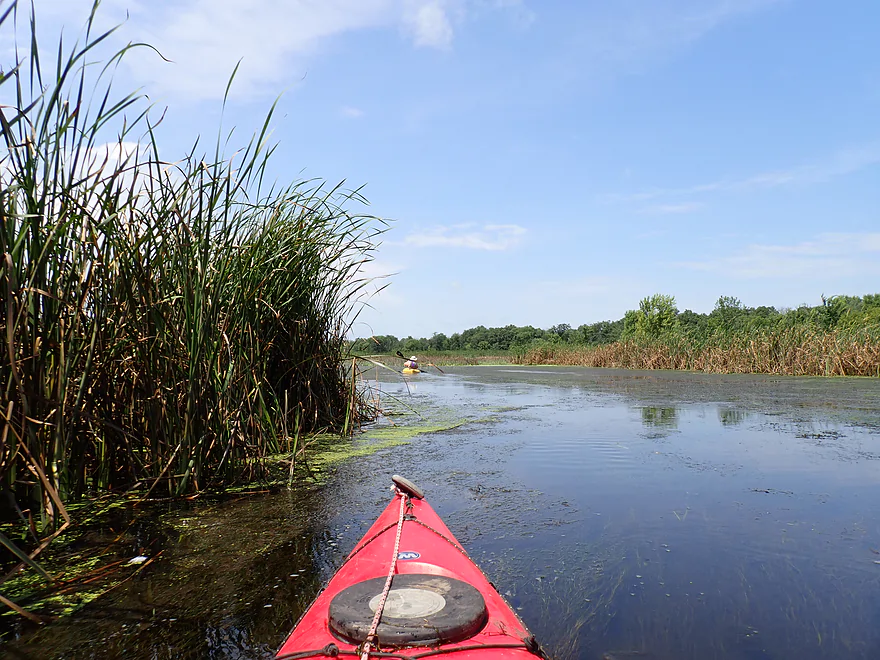
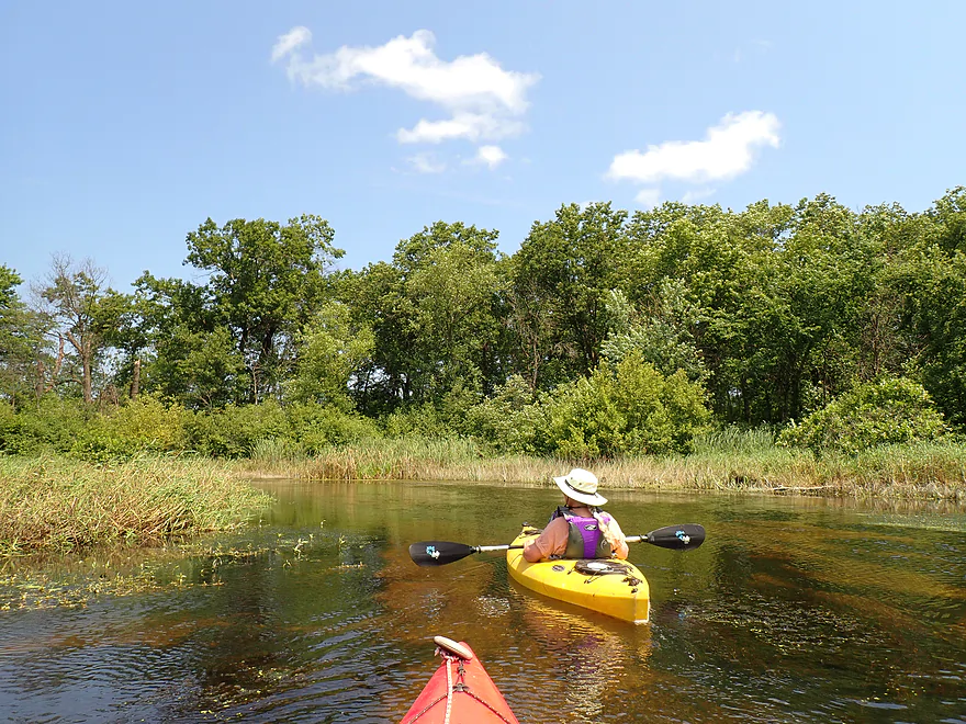
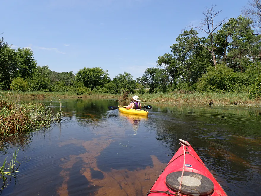
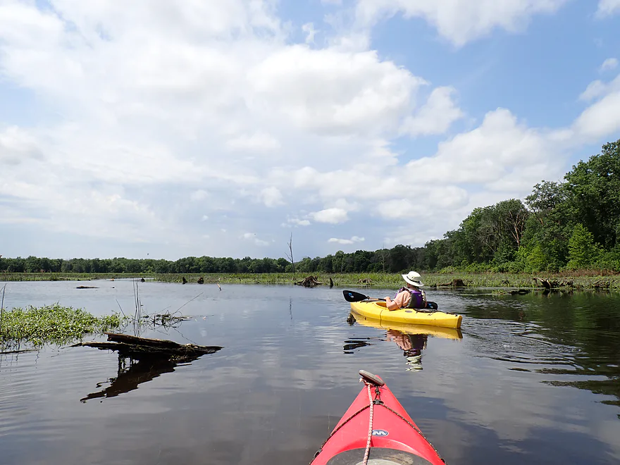
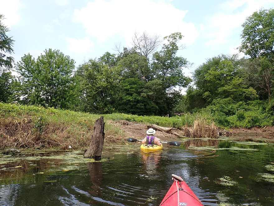
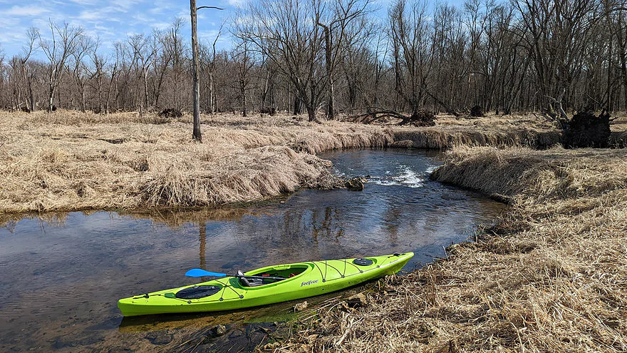
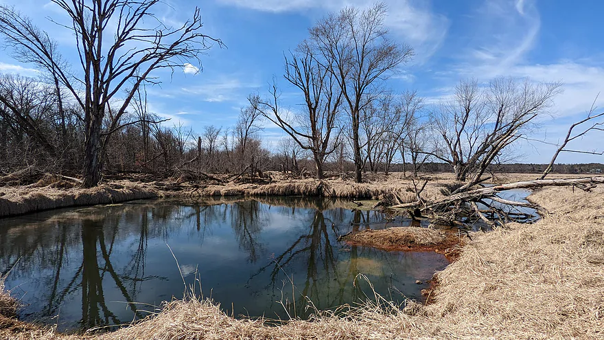
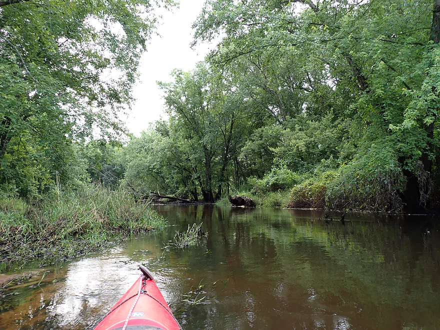
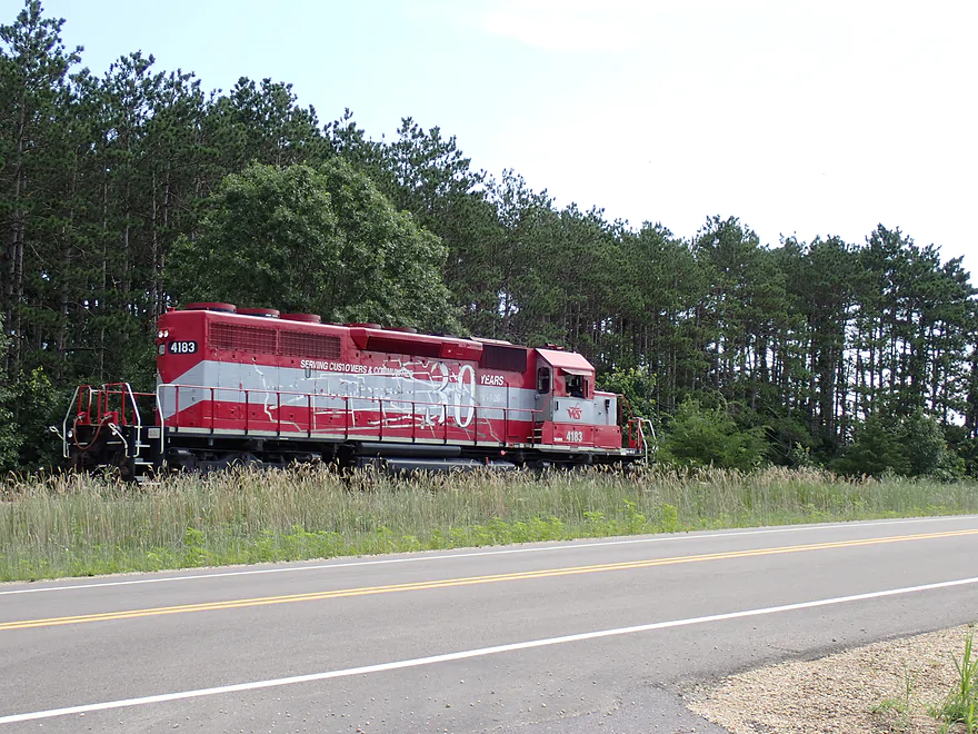
After launching, we headed upstream to see how far we could get. The east end of Bakken’s was more like a creek and really nice. It was flanked by an expansive marsh and backdropped by Wisconsin River bluffs in the distance. Cranes and swans could be seen in the distance. North of the creek was a sandy bank where we occasionally heard trains rumble from behind the trees.
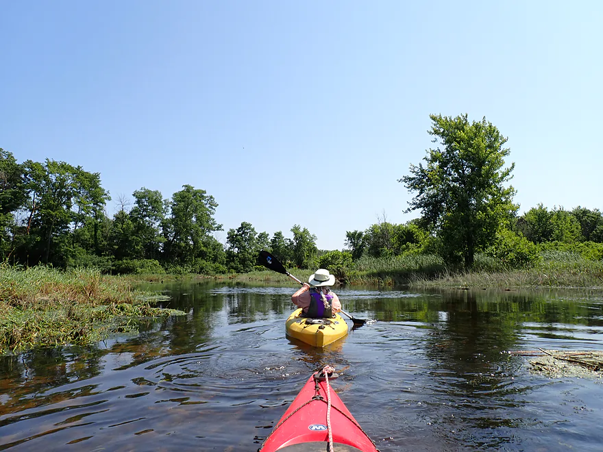
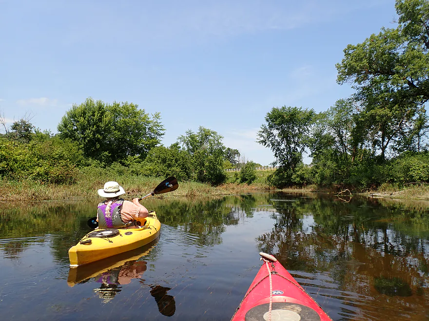
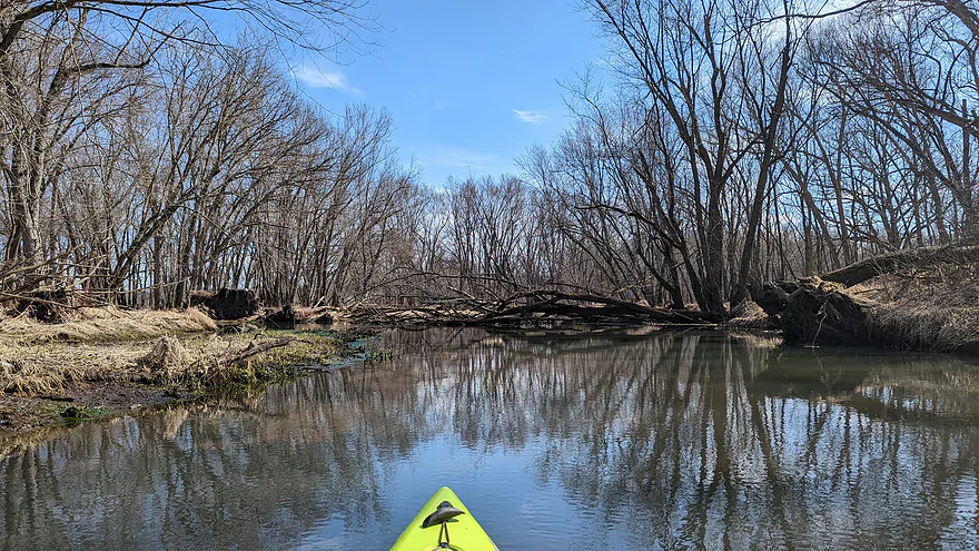
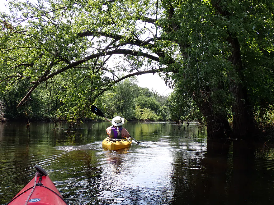
As we progressed upstream, the creek narrowed and the current started to pick up. This was definitely the best part of the trip. The water was clear, cold (from the springs), and, despite the nearby marsh, had firm substrate in spots with a mix of sand and gravel.
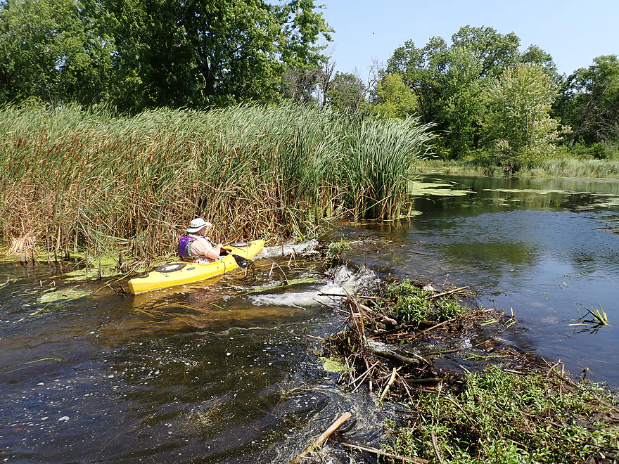
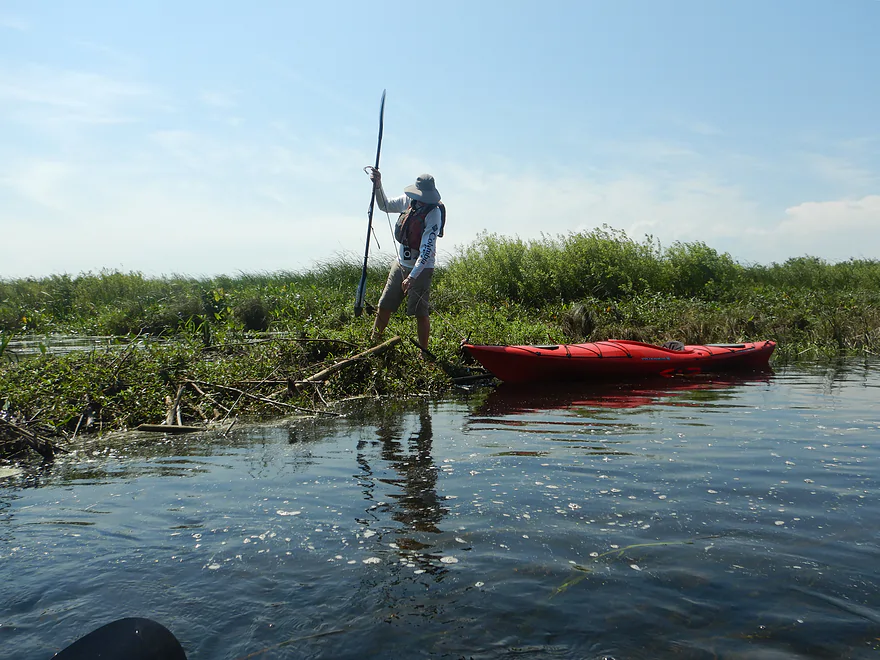
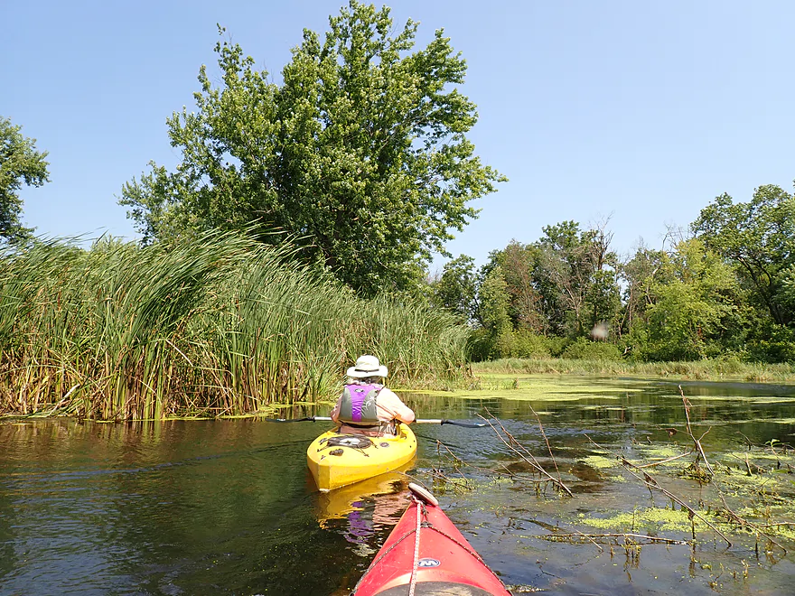
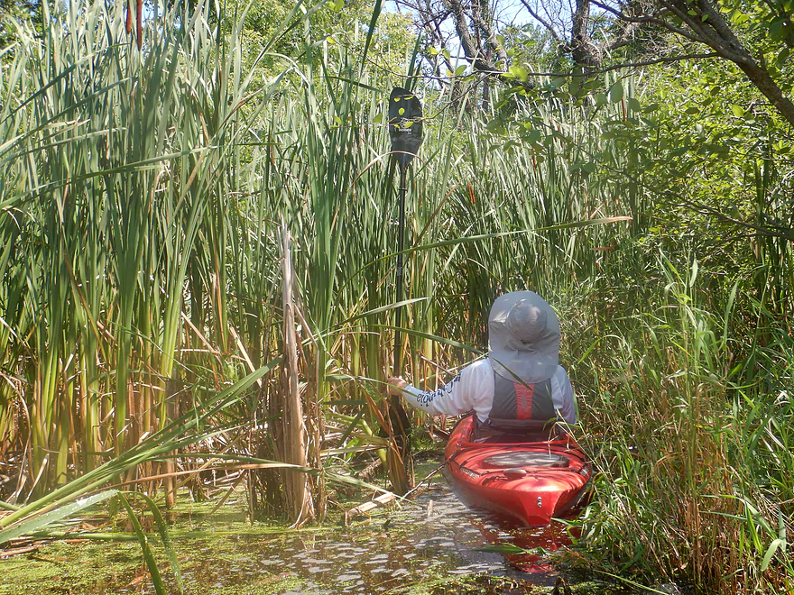
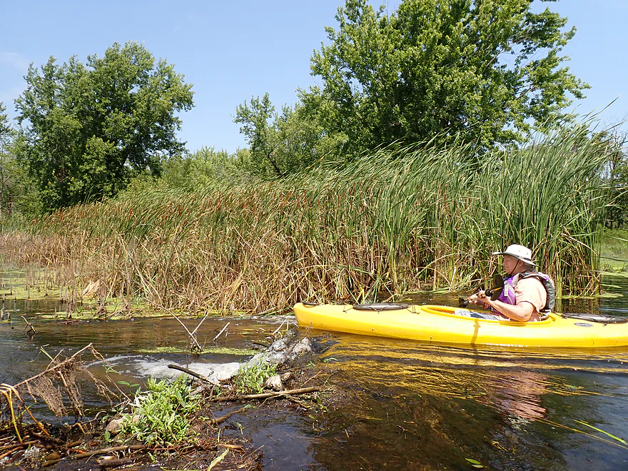
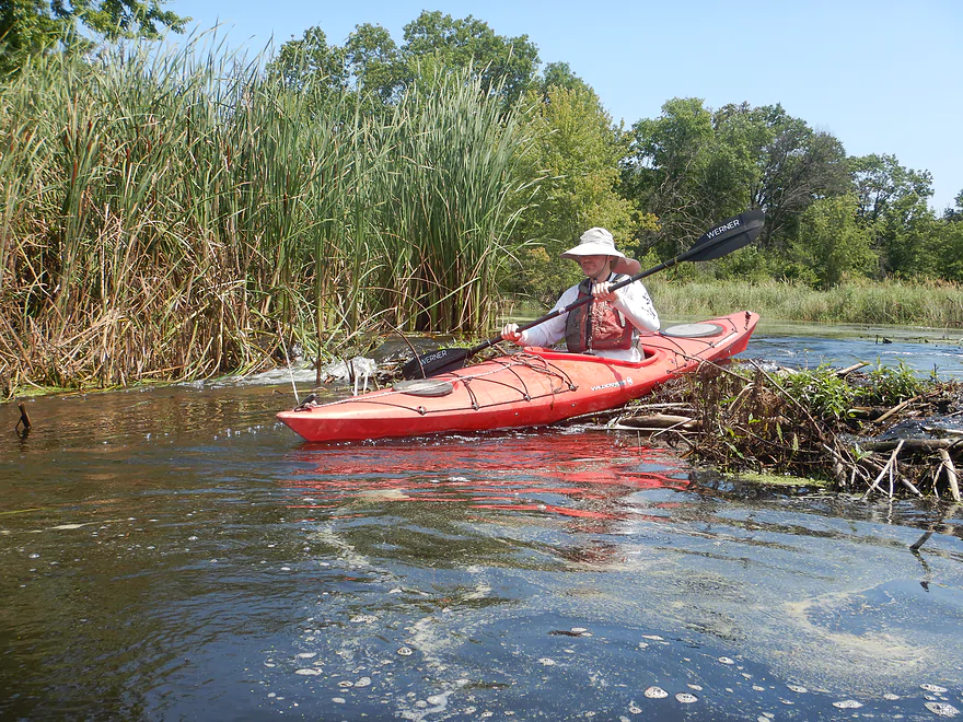
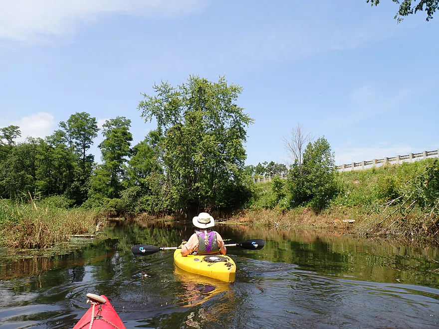
One of the highlights on this section was a beaver dam that we had to portage. It wasn’t very big, but backed the water up behind it 12-14″ . After bumping over the remnants of what looked like a second beaver dam, we encountered a weedy and marshy stretch. Here the current died and we couldn’t paddle any further upstream because of the unusually massive (over 8′ tall) cattails. We were tantalizingly close to the east dike where we initially tried to put in, but it wasn’t to be, so we turned around and headed back downstream.
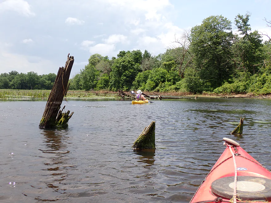
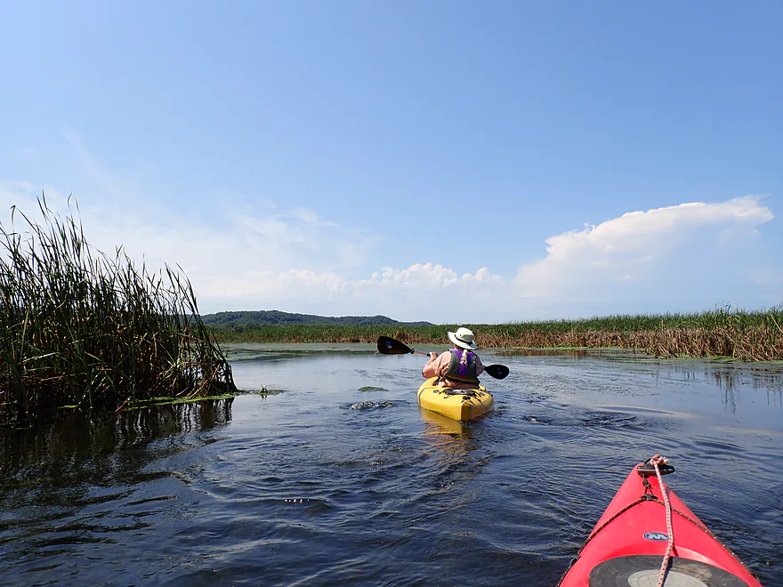
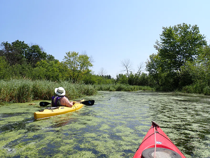
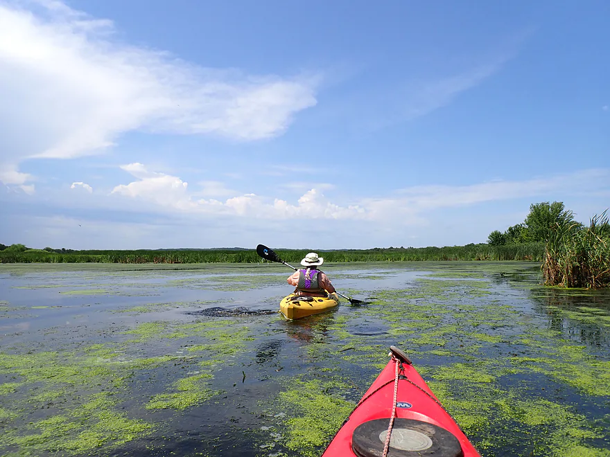
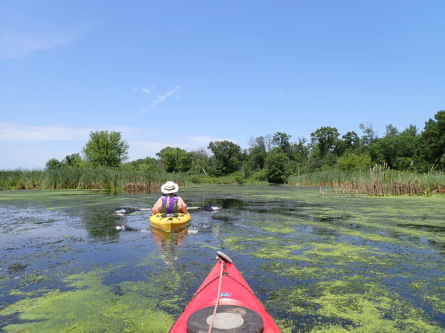
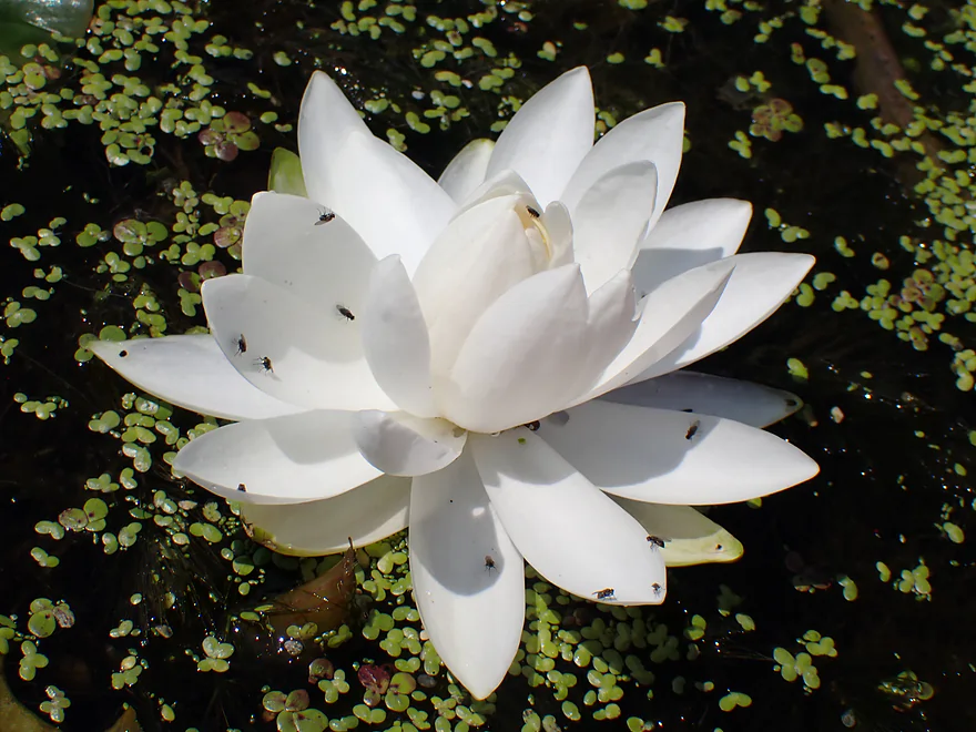
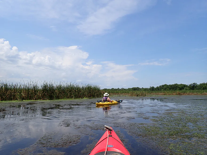
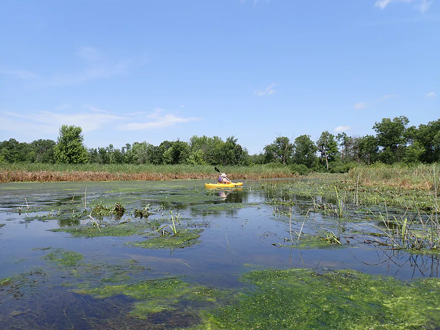
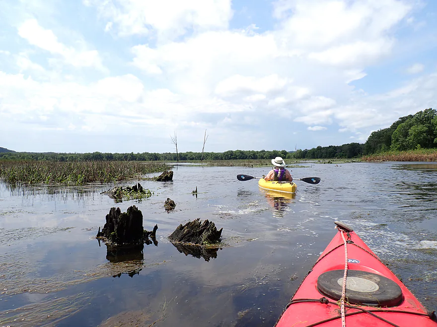
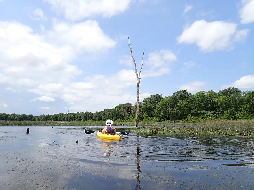
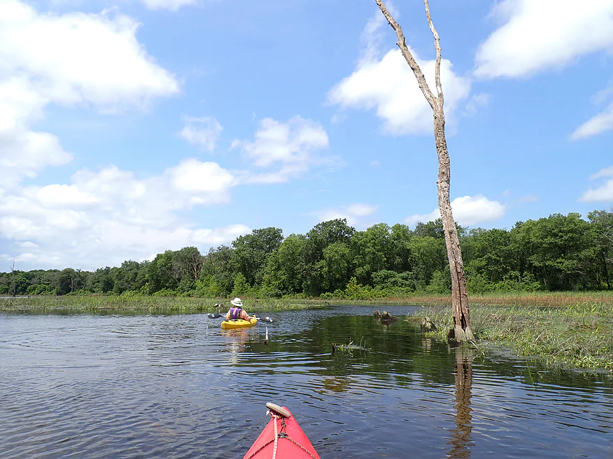
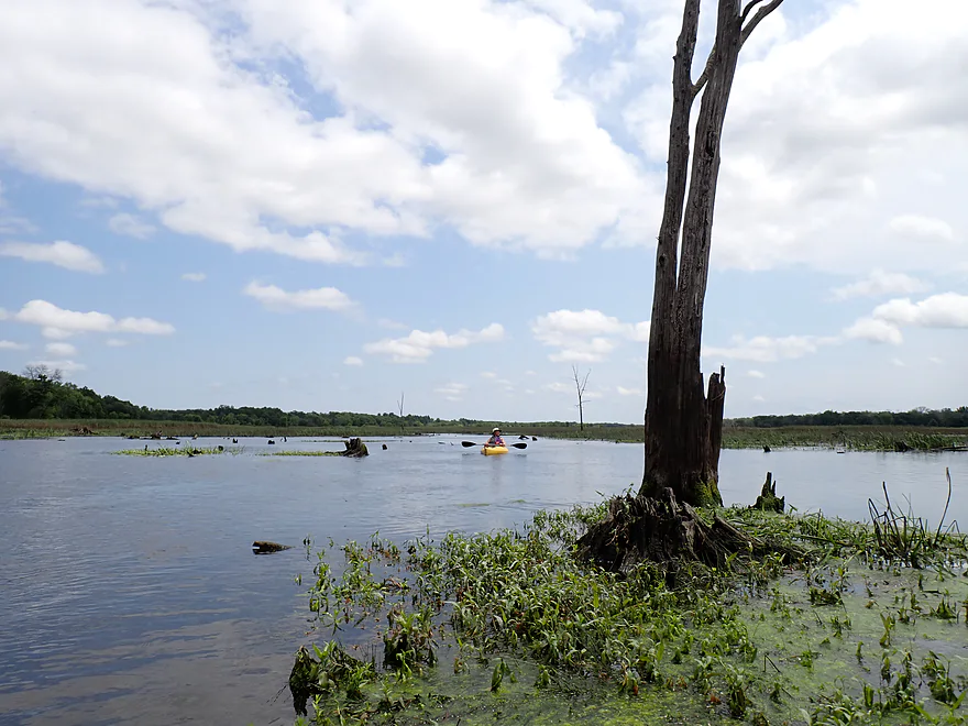
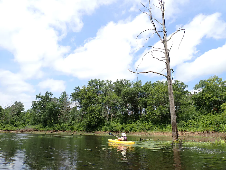
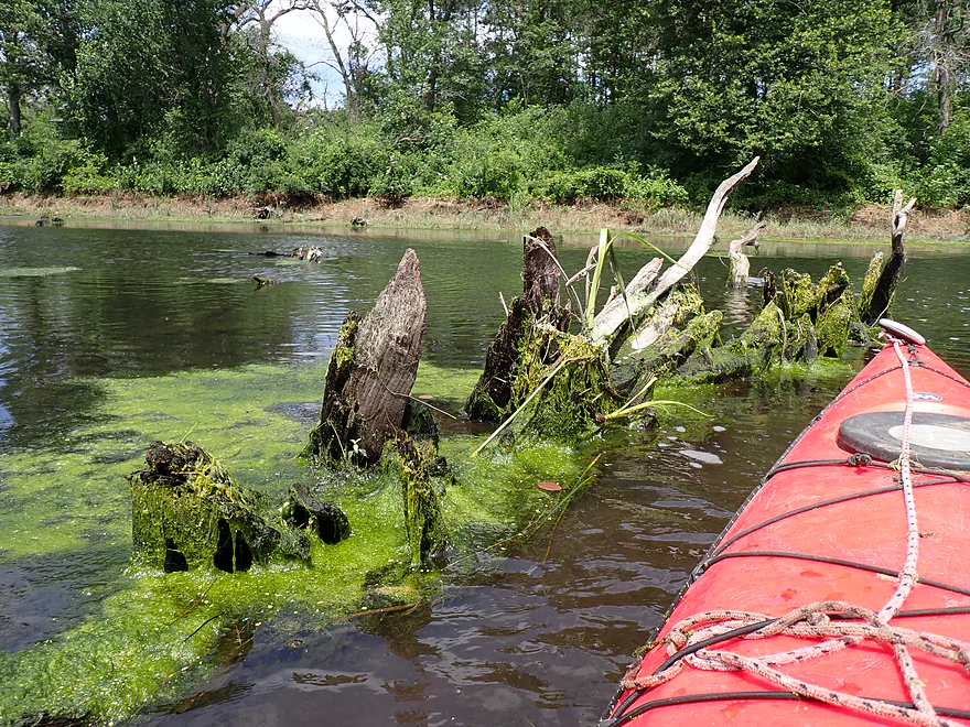
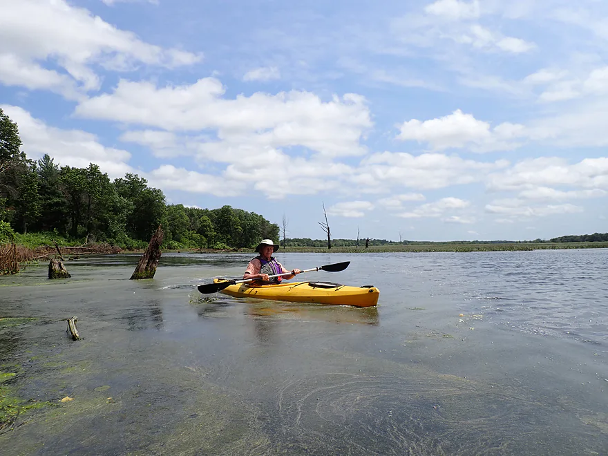
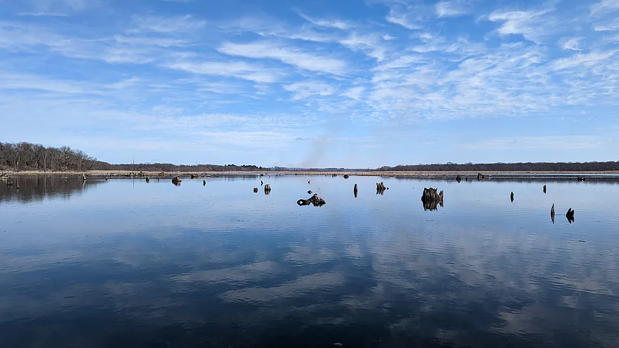
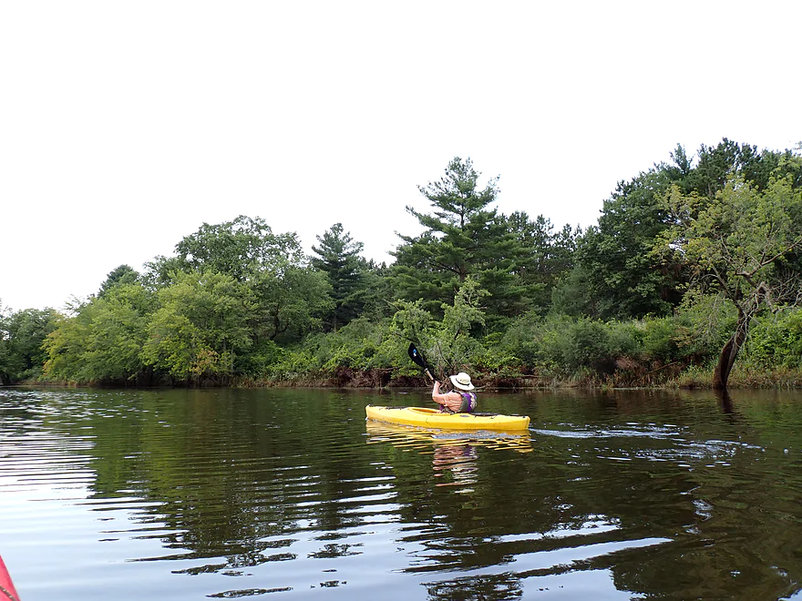
Continuing past our Ellen Lane put-in, we headed into the west end of Bakken’s Pond, which was very different from the east end. Here there was no current and the channel widened significantly into a marshy pond. Aquatic weeds became more common, with lots of coontail, curly-leaf, potamogetons, duckweed, and watermeal. Tree skeletons dotted the lake and were artistic in a strangely haunting sort of way.
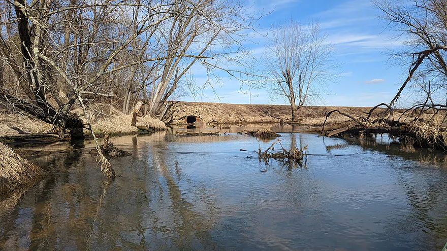
Bakken’s Pond is an artificial creation and the result of a very long dike/dam (called the Long Lake Dike) at its west end which is used to regulate water levels. What’s interesting is that the dike had previously been damaged and breached by floods so, as of this trip, it was only partly functional. You could tell the pond was lower than normal despite the high water on the Wisconsin, as there were stumps poking above the surface, but the water level wasn’t completely drawn down. The DNR plans on reconstructing the dike and dam this summer, which will mean a full and proper drawdown of the west pond and then a later refilling to higher levels. I’m not sure that is a good thing.
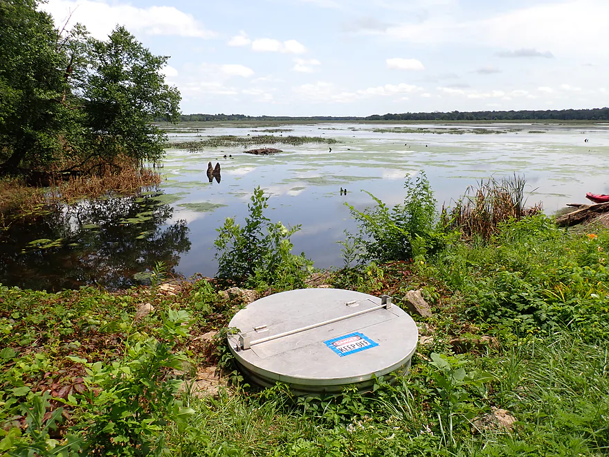
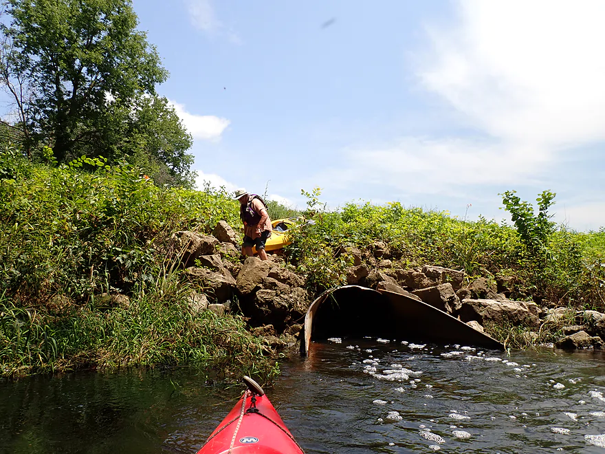
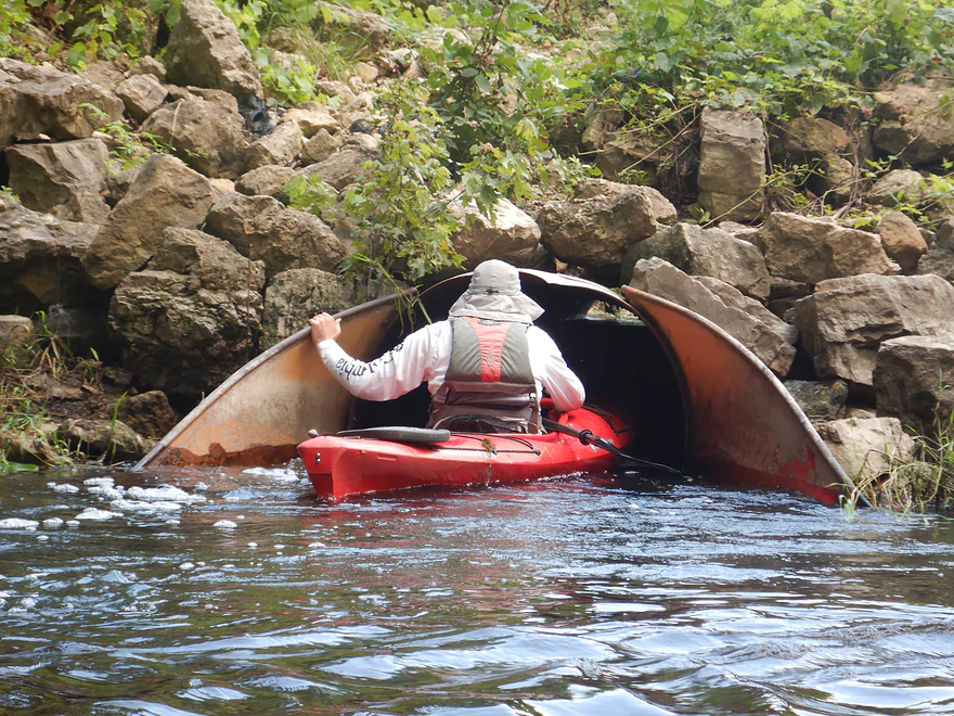
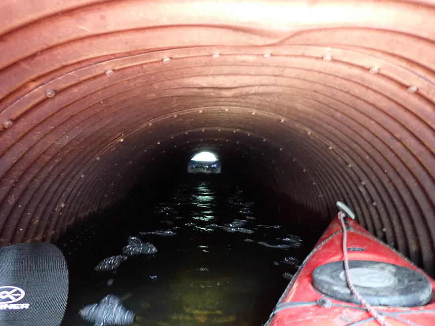
We portaged the dike near its north end. There was a large culvert here with rock fill around it–tricky for footing but otherwise not bad. We resumed our trip on the undammed stream below, which is now called Long Lake. There is a nice public access area by the dike and the dike itself is very popular as a hiking trail and for birdwatching (the DNR hopes to improve the trail network by the slough).
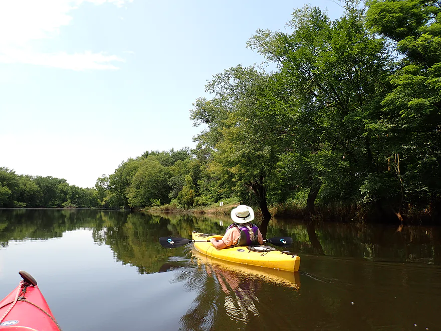
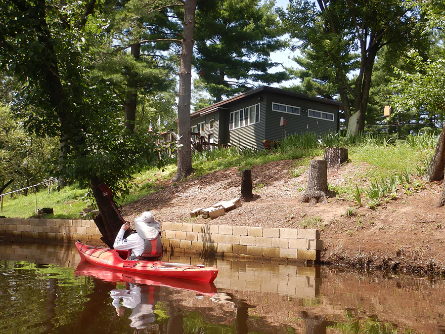
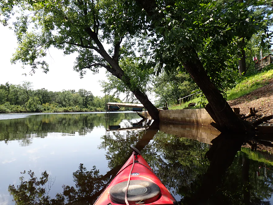
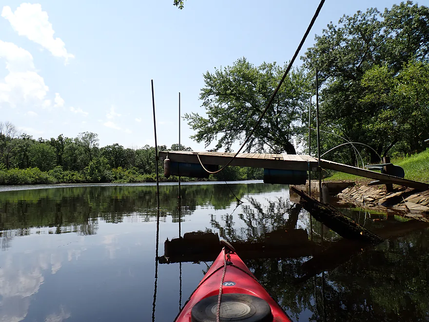
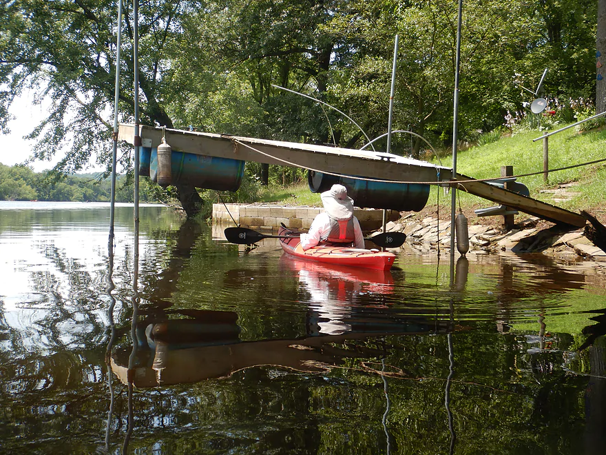
Long Lake started on a high note with good current, a meandering channel, and an attractive canopy of trees. But that quickly changed as Long Lake soon widened, slowed, deepened (about 5′) and straightened out. The northern shore contained quite a few small cabins and a surprising number of public access points (four if you count the dike). The entire lake is no-wake, which typically would be a good thing for kayakers, but the scenery here is so boring, it’s not really suitable for kayaking unless you are a local.
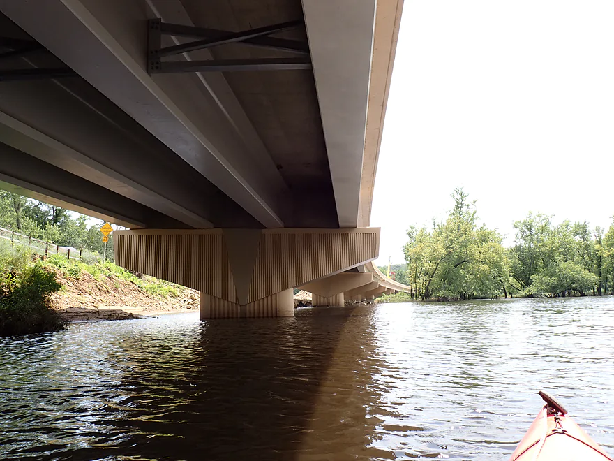
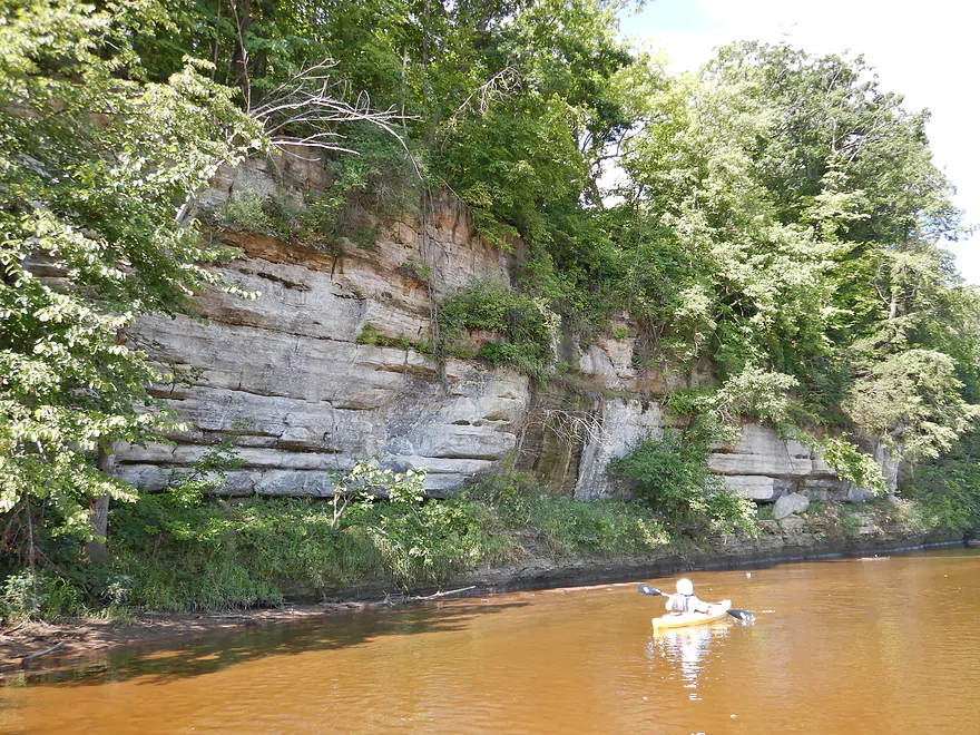
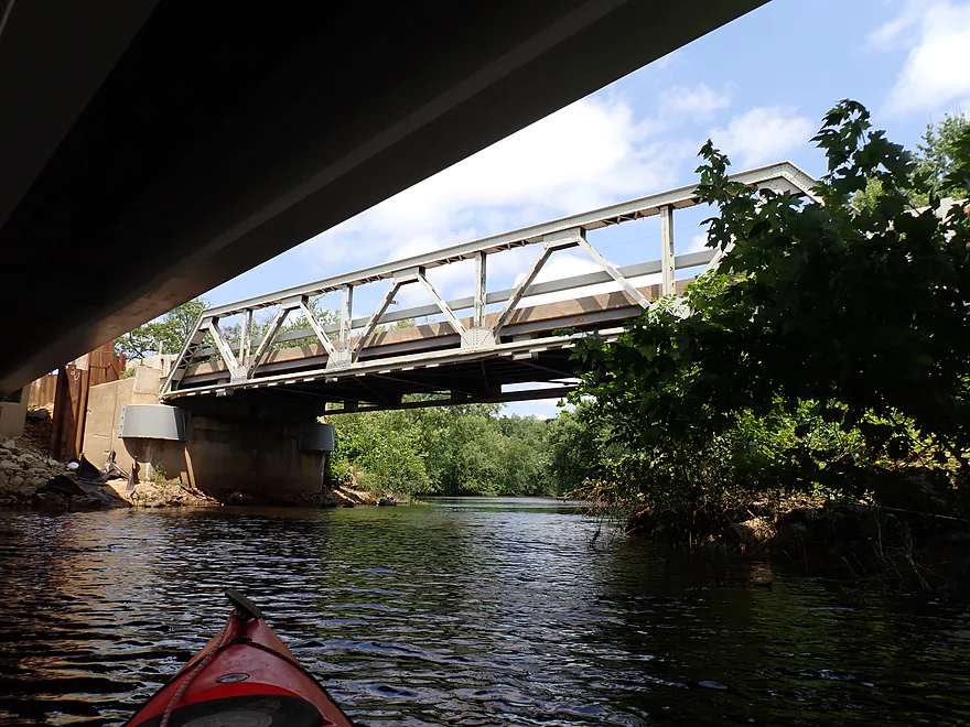
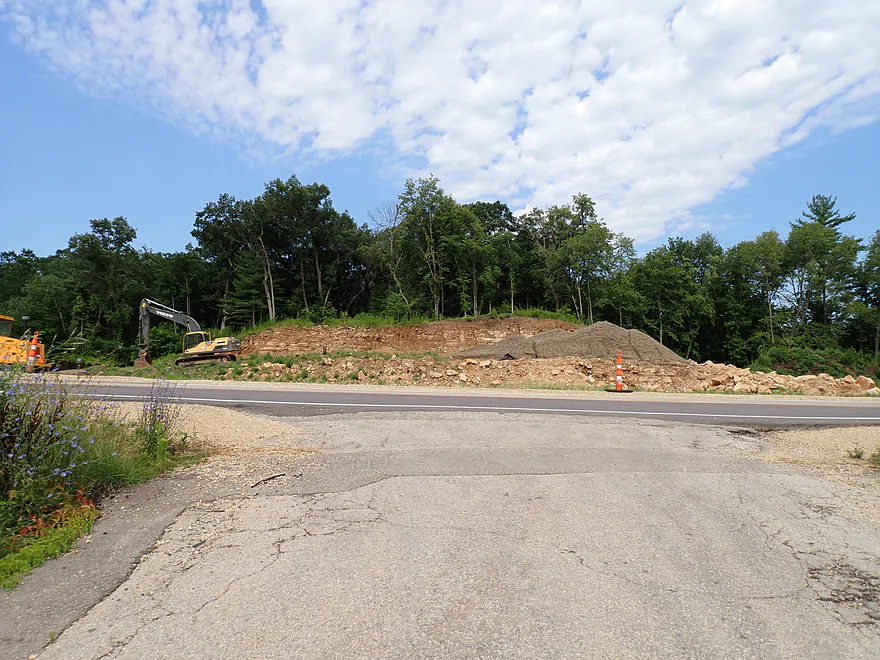
I overshot the small take-out at Brace Memorial Park on purpose to check out the new Hwy 130 bridge. I’m sure the DOT has a “very good reason” for constructing it, but it seems like a boondoggle to me. The old bridge was scenic with rustic trestles and worked fine. Building the new bridge meant destroying a scenic cliff on the west end and demolishing the remnants of the historic Lone Rock outcrop on the east end. The area was also a hotspot for clams, so the DNR had to undertake an emergency rescue project to relocate them before the construction dike used to work on the new bridge was set up.
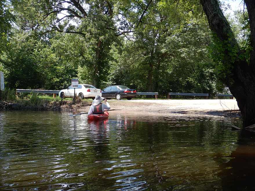
I then returned to Brace Memorial Park to end our trip. This was a great little carry-in access with parking just a short distance away. Typically there are riffles by the put-in where Long Lake enters the Wisconsin River, but they were obscured that day by the higher water levels .
In summary, Long Lake was boring and I wouldn’t recommend it by itself . But Bakken’s Pond was quite nice, extremely scenic, and full of wildlife. We did both as a one way trip + shuttle, but a paddler could easily paddle both ends of Bakken’s Pond as a round trip. It’s a very flexible trip and can be done in high water when other water trails are too high and pushy, as Bakken’s is very safe. The only major downside to the trip were the insects. Mosquitoes were an issue by the put-in and take-out, but midges were a terror on the water. Maybe it was just unlucky timing? At any rate, having had positive experiences with several Lower Wisconsin “slough” paddles (e.g. Bakken’s Pond and Marsh Creek), I look forward to exploring more sloughs in the future, with perhaps Goodweiler Lake, Smith Slough, and Cruson Slough being next on my to-do list.
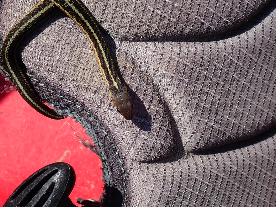
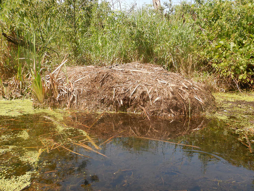
Sights included vultures, several groups of cranes, two painted turtles, ducks, flopping fish, big white birds in the distance (likely swans), a red-headed woodpecker, a kingfisher, and a snake who didn’t want to get out of my boat at the put-in. Bakken’s Pond is known as a top birding area and is a fantastic spot for migrating waterfowl.
It was nice to hear cicadas. 2024 is supposed to be a big year for them, but I haven’t heard too many yet. The low-light of the trip were all the mosquitoes and midges. The midges were actually worse than the mosquitoes and hounded me for most of the trip. There were many dragonflies on the marsh and they likely loved feasting on the midges.
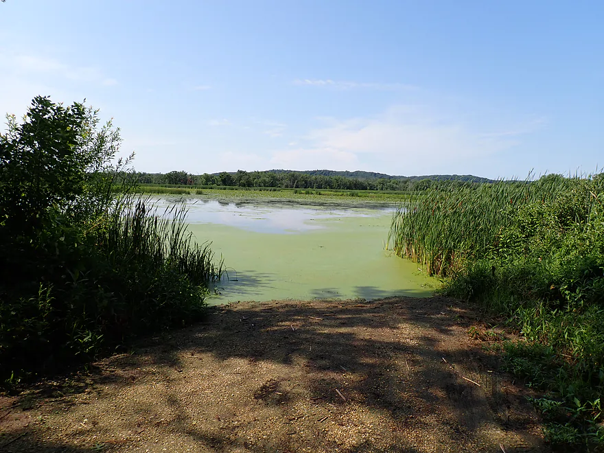
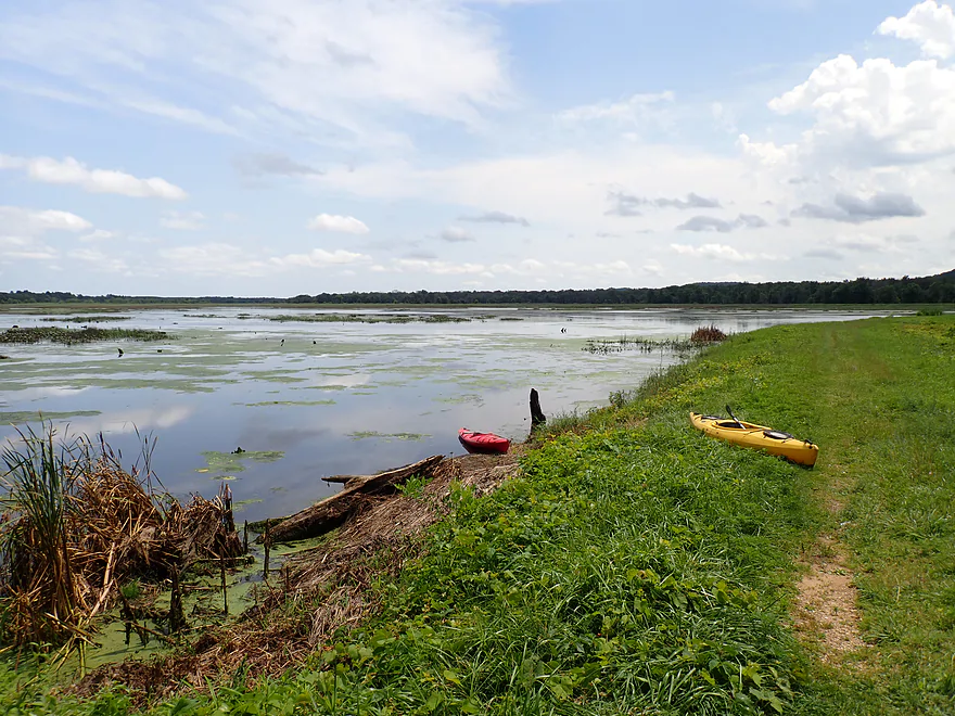
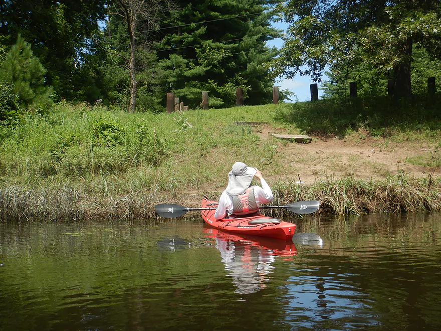
Bakken’s Pond – Ellen Lane Access: This was a good put-in, minus the poor shape of the access road. The turn-around area is a slight hill with a nice vista of the marsh and Lower Wisconsin bluffs . A somewhat hidden trail leads down to the water where it is easy to launch.
Alternate Bakken’s Pond Access Points:
- Bakken’s Pond – East End: This is a nice access located along the east end dike. However…cattails appeared to have sealed shut the access to Bakken’s Pond so it’s no longer a realistic access option. Hopefully the DNR can improve this in the future. As is, you can still launch east of the dike into an unnamed pond which would be an ok but weedy marsh paddle.
- Laudon Road Access – West End: This is a very good public access. The dike here separates Bakken’s Pond from Long Lake and controls water level on the pond. Locals apparently like to use the dike as a hiking trail and for birdwatching.
Brace Memorial Park: This is a good public access located at the western end of Long Lake and just before Hwy 130. Just around the corner is the Wisconsin River.
Alternate Long Lake Access Points:
- McKenna Boat Ramp: This is the only boat ramp on Long Lake and is a good access.
- Florence Laudon Park: This is a small public park. It would be plenty suitable as a carry-in access.
- Laudon Road Access: This is located by the dike that separates Bakken Pond from Long Lake. Access to Long Lake is viable, but a bit tricky because of the boulders, weeds, and poison ivy on the dike.
Bike Shuttle – Ellen Lane Access to Brace Memorial: 2.4 miles with 10′ of ascent. This would be a super easy bike shuttle for those who want to paddle the length of both Long Lake and Bakken’s Pond. It’s flat, short, and scenic with lots of pine trees. However, I doubt most paddlers will shuttle. Instead, most will prefer to simply do round trips on Bakken’s Pond.
Beaver Dams: There is one beaver dam on the east end of Bakken’s Pond that will have to be portaged (for those wanting to explore the east end). There are also remnants of a second beaver dam that might have been previously washed out…but this is easy to paddle over.
Wind: This is an open paddle. It’s advised to not attempt this during strong winds. But actually a little wind is nice to help deal with the insects.
Insects: Mosquitos were a problem at the access points but not on the water. I’m not sure if they are normally this problematic? Maybe it depends on time of year, wind, and recent rainfall. Midges were worse though than the mosquitos and constantly swarmed me when I was on the water. Again, maybe this was just unfortunate timing on our part.
Rapids/Current: The west end of Bakken’s Pond has no current, but the east side does and it is very pleasant yet easy to paddle upstream on. The water quality tended to be best where there was current. Long Lake in contrast doesn’t have current, with a short exception below the dike/dam. When the Wisconsin River is low, slight riffles will develop by Brace Memorial Park. But by and large Long Lake is a very stagnant lake.
Logjams/Fences: None.
Human Dams/Dikes: At the east end of Bakken’s Pond is a dike, but you can’t reach it by boat because of the cattail growth. At the west end is a second dike and a two-foot culvert dam. The culvert is too small to fit through so must be portaged. The upstream side of the west dike is easy to portage, but the downstream side is a bit tricky because of the weeds and rocks (but plenty doable).
Weeds: I don’t think weeds are ever a problem on Long Lake, but later in the year or during droughts they might be an issue for Bakken’s Pond. During our July trip in high water, there were a few weedy spots, but it was always pretty easy to get through.
Poison Ivy: This was common both at the landings, on parts of the dike, and on a nearby trail. Watch where you step.
Gauge: Wisconsin River @ Muscoda
Trip Depth: 17,900 CFS or 4.25′
Navigability Estimates: Note, Bakken’s Pond is practically a slough of the Wisconsin River, so its depth will likely mirror that of the larger river.
- < 5k CFS: Major drought levels. Outside of spring, aquatic weeds will likely be a major problem.
- 5k-11k CFS: Average levels. Weeds could be an issue later in the season.
- 12k-16k CFS: Above average levels. Fine for paddling.
- 17k-22k: Very high levels. Fine for paddling.
- 23k+: Crazy high levels. Still fine for paddling.
Trip Map
Video
Photos Size:
