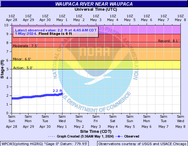
Plover River
The Plover is a small tributary to the Wisconsin River located Stevens Point. It’s a great kayaking stream with fantastic boulder gardens.
Trip Reports
Esker Road to Hwy 153
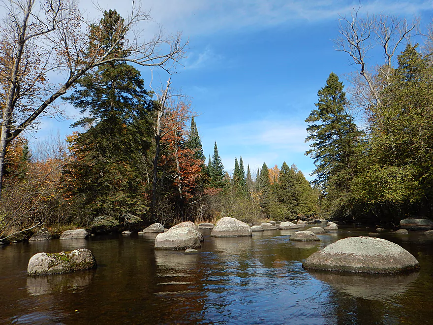
Date Paddled: October 16th, 2016
Distance: 6.4 miles
Time: 4 hours 46 minutes ( 3 hours would be more typical)
The far upper Plover River is rarely paddled, yet might be the best section for paddling because of its scenic firs, granite boulders and some surprise rapids.
Read More...Hwy 153 to Pinery Road
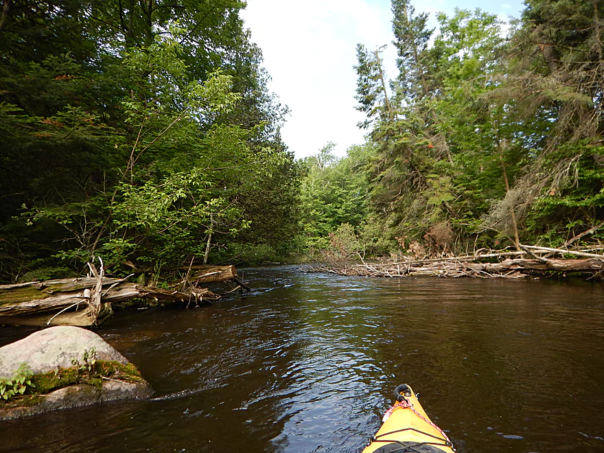
Date Paddled: June 25th, 2016
Distance: 4.97 miles
Time: 2 hours 19 minutes
Probably the best section on the entire Plover River with good current, a few rapids, attractive woods and fine boulder beds.
Read More...Pinery Road to Shantytown Drive
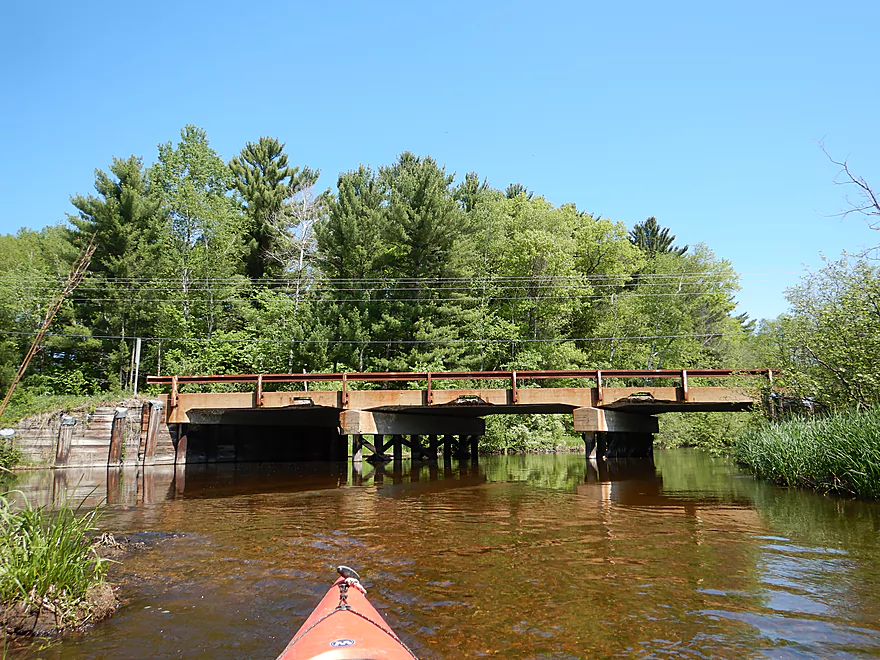
Date Paddled: May 26th, 2018
Distance: 4.9 miles
Time: 2 hours 23 minutes
While not as nice as upstream sections of the Plover, this was still a solid paddle with good current, clear water, and wooded banks filled with pines, cedars and firs.
Read More...Hwy K to Jordan County Park
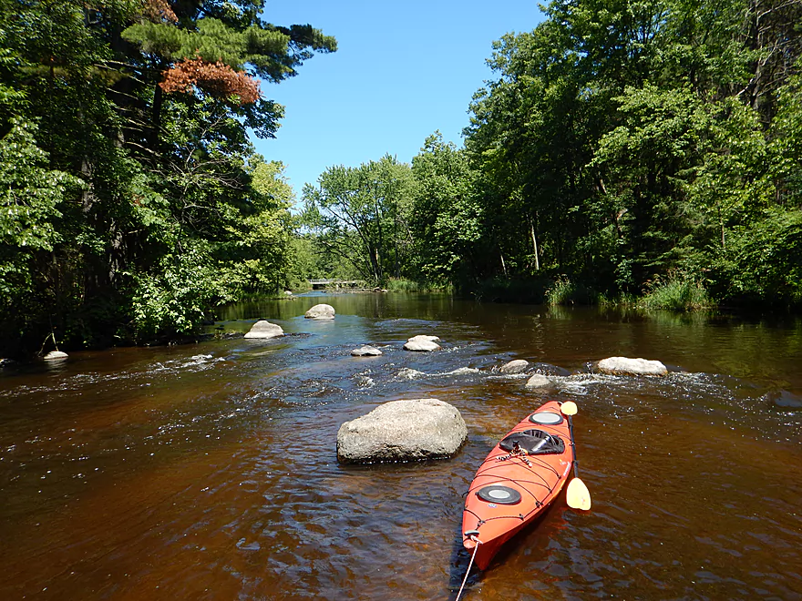
Date Paddled: July 4th, 2017
Distance: 5.3 miles
Time: 3 hours 4 minutes (2.5 hours would be more typical)
Not as elite as other Plover segments, but this diverse paddle is still enjoyable and has some fun surprises at the end.
Read More...Jordan Park below dam to Iverson Park
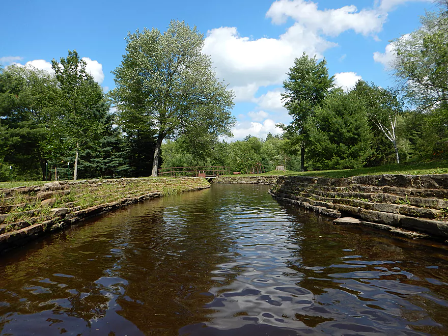
Date Paddled: July 5th, 2014
Distance: 8 miles (maybe more because of the log dodging)
Time: 3 hours 52 minutes
The Plover is a popular small river that flows southwest before emptying into the Wisconsin River at the city of Stevens Point. There are multiple sections of the river that are navigable for paddlers–the upper section being more rocky and “up northy,” with nice boulder gardens, and the southern section, which is more like the […]
Read More...Overview Map
Detailed Overview
- Legion Memory Park to Konkol Road: (1.8 miles) Scenic, narrow, shallow creek with perhaps a few logjams.
- Konkol Road to Townline Road: (1.3 miles) Probably a mediocre but doable prospect.
- Townline Road to Bridge Road: (1.4 miles) A creek prospect that should have scenic woods and a few boulder gardens. Townline Road should be ok for access.
- Bridge Road to Esker Road: (0.7 miles) Narrow, wooded and rocky, this is a good prospect. Probably some rapids and a few logjams. Should be ok put-in access.
- Esker Road to Hwy 153: (6.4 miles) A fantastic trip reviewed in Oct 2016.
- Esker Road to Plover Road: (1.5 miles) Pleasant section with a nice boulder garden.
- Plover River Road to Kristof Road: (2.7 miles) Best section on the entire river. Very scenic, with 3 Class 2s and many boulder gardens.
- Kristof Road to Hwy 153: (2.3 miles) Good section with no noteworthy rapids, but pleasant and scenic.
- Hwy 153 to Pinery Road: (5.0 miles) A great trip reviewed in June 2016.
- Hwy 153 to Bevent Drive: (2.7 miles) Five star segment and 2nd best leg on the entire river. Scenic with several small rapids.
- Bevent Drive to Pinery Road: (2.3 miles) Pleasant section but not as scenic as upstream parts.
- Pinery Road to Shantytown Drive: (4.9 miles) A medium trip reviewed May 2018.
- Pinery Road to Hwy J: (2.8 miles) Starts wide and uninteresting but gets better with narrow corridors of firs, white cedars and white pines. Section includes a small boulder garden and several low farm bridges.
- Hwy J to Shantytown Drive: (2.2 miles) A peaceful section with many conifers relatively undeveloped banks and good current.
- Shantytown Drive to Hwy Y: (5.2 miles) The river slows and widens here, with maybe a third of the trip being a flowage/marsh (looks pleasant). Shantytown Drive is a good launch option.
- Hwy Y to Bentley Road: (1.3 miles) A tweener section between the flowage and river that includes a dam portage. Hwy Y is a poor launch option with difficult parking.
- Bentley Road to Hwy K: (3.4 miles) The river narrows here and this is a popular section. Good shoulder parking at Bentley Road (lot of cars park here).
- Hwy K to Jordan County Park: (5.3 miles) Ok prospect reviewed Jul 2017.
- Hwy K to Sharonwood Lane: (4.7 miles) A less traveled, narrow, wooded section on the upper part and an open grassland paddle in the second part where the old flowage was. Be careful about running the old dam remnants. There are nice boulder gardens above and below Sharonwood Lane. Hwy K is an ok launch, but has very poor parking (most cars were literally parking more on the road than on the shoulder).
- Sharonwood Lane to Jordan County Park: (1.0 miles) Gorgeous boulder garden below Sharonwood and perhaps an abandoned whitewater slalom course. Most of this is lake paddling though Jordan Pond. Sharonwood Lane is small but ok for access.
- Jordan County Park to Jordan Dam/Jordan Park: (0.5 miles) Paddle west of the lake, then portage under the Hwy 66 tunnel. You then have to drag your boat 600+ feet to get past the pipeline and into the water. Not recommended.
- Jordan Park to Iverson Park: (8.0 miles) A good prospect previously reviewed July 2014.
- Iverson Park to Lower Whiting Park: (2.5 miles) Mostly open flowage paddling that is probably uninteresting.
- Lower Whiting Park to the Wisconsin River: (1.2 miles) Mostly big flowages. Probably not a good prospect.

