Wolf River
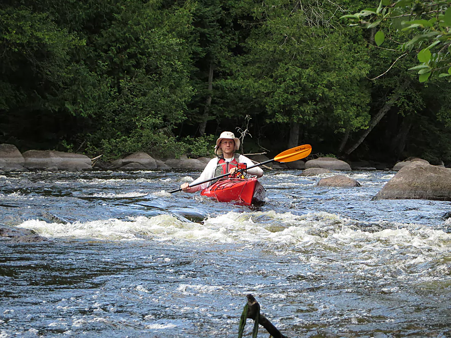
This is Wisconsin’s most famous whitewater river. There are sections for all skill levels, with the easiest rapids (generally speaking) located the furthest upstream.
Trip Reports
W. Hollister Road Landing to Hwy 64 DNR Landing

Date Paddled: July 30th, 2015
Distance: 8.5 Miles
Time: 5 hours 50 minutes (4 hours might be more typical)
A journey to the whitewater capitol of Wisconsin to enjoy some fun class 2 rapids and amazing boulder gardens.
Read More...Langlade Landing to Wild Wolf Inn

Date Paddled: June 9th, 2019
Distance: 10.6 miles
Time: 5 hours
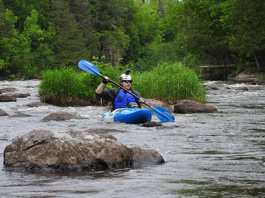
One of the best whitewater stretches in the entire state of Wisconsin.
Read More...Overview Map
Detailed Overview
- Upstream of Pearson: I don't know much about.
- Pearson to Hwy A Landing: 2.0 miles. Mostly flatwater. Class 2 rapids directly at take-out.
- Hwy A to River Road Landing: 2.1 miles. Starts with a stretch of Class 2 rapids. Flatwater after that.
- River Road Landing to Military Park: 4.8 miles. Mostly flatwater, but there are class 1 rapids before and also at the take-out.
- Military Park to Lily/Hwy 52: 4.3 miles. Includes several longer stretches of Class 1 rapids and a boulder garden at the take-out.
- Lily to Wolf River Landing Road: 3.4 miles. Good stretch with multiple Class 1 rapids and two sets of Class 2's.
- Wolf River Landing to Hollister: 3.1 miles. Maybe 4-5 sets of Class 1 rapids. Also some longer stretches of flatwater.
- Hollister to Langlade: 8.7 miles.
- Hollister to Irrigation Ditch Landing: 5.9 miles. Fantastic stretch and popular. Five sets of Class 2 rapids and multiple Class 1 rapids.
- Irrigation Ditch Landing to Langlade Landing: 2.8 miles. Great stretch and popular with tubers. 3 sets of Class 2 rapids.
- Langlade to Wild Wolf Inn Landing: 10.6 miles.
- Langlade to Herb's Landing: 6.5 miles. Good rapids density in the first few miles. Rapids are starting to get stronger. Two sets of Class 2's and multiple Class 1's.
- Herb's Landing to Hwy M/Markton: 3.2 miles. One set of strong Class 2 rapids and the first Class 3 on the river in the Boy Scout Rapids. There have been deaths at the Boy Scout Rapids. Mostly due to people getting their feet trapped in the rocks. If you get dumped NEVER try to stand up in strong water, because if your foot gets wedged into a rock, you won't be able to back out. Instead keep your feet up and float to a safe spot. You can scout the Boy Scout Rapids from the boy scout camp (there are two pedestrian bridges that cross the rapids for an excellent view). However, you do have to check in with the local scout office and get bracelets and fill out paperwork (I was really surprised how bureaucratic the boy scouts are!).
- Hwy M to Wild Wolf Inn Landing: 0.7 miles. Mostly uneventful except for Class 3 rapids at the end (Gilmore's Mistake). You can take out before the rapids and/or scout them easily enough from shore. Many paddlers take out at the Wild Wolf Inn Landing, but it is technically private. You may want to ask permission before using.
- Wild Wolf Inn Landing to Otter Slide Landing: 6.3 miles. This is the start of Menominee County which is an indian reservation that does not allow public access to the river. You have to purchase an access bracelet from an authorized livery (Shotgun Eddy's or Big Smoky Falls Rafting). I don't suggest trespassing as Menominee trespassing fees are quite severe. Parking may be tricky...call one of the liveries to ensure availability. This stretch has several strong Class 2's and a dangerous Class 3 in Pismire Falls. Scout this before running. Shotgun Eddy Rapids are among the longest on the entire river.
- Otter Slide Landing to Big Smoky Falls: 6.0 miles. This is a difficult section with many class 3+ rapids and two class 4's including Big Smoky Falls. Only pro whitewater paddlers with training and gear should run this. Parking can be restricted and tricky in some areas. If nothing else, I do recommend hiking "The Dells" by foot which is absolutely gorgeous (I've marked this on the map and show it off in the pictures/video).
- Big Smoky Falls to Shawano County Border: The river is completely off limits to paddlers (there are remaining waterfalls and rapids in this section).
- Shawano County Border to Mouth: The Wolf suffers from many flowages and is generally bigger, slower and more boring. There are some odd sections you can do with some ok boulder gardens...but none of this compares to the upstream sections.
Nearby Guages
Videos
Part 1:
Part 2:
Part 2:
Comments
Hi Viking. Camping and doing the Wolf might be a tricky combo. The Wolf has strong rapids. Boats with sufficient capacity for camping gear might not deal well with whitewater. The big problem on the lower Wolf is river access. Past Wild Wolf Landing, you'll need permission from the Menominee tribe (or from one of their authorized liveries). You might contact Wild Wolf Inn for more info.
My crew and I are looking to run the longest trip down the wolf. Lay up camp over night trying to combine our whitewater love with our boundary waters experience. I would like to put in around lily and set course as far as shwano I understand a bout having to portage. Is there no possibility of that through kensha falls area? And we must have a pass via one of tge outfitters to run through big smokey falls?
Megan, you would be fine for kayaking. The river is actually higher now than it was during my trip (7.75' vs 7.57'). But rafting might require more padding. You might ask the local liveries for their advice. I think you're ok though.
I plan on coming to camp and go rafting on Saturday with the Britton/ felter group. Is the river going to be high enough for us to go rafting in saturday??
Here's a cool fall video of the Wolf River. It includes a whitewater run of the Dells which is really scenic: https://www.youtube.com/watch?v=QFa2W4DtzHQ
Thanks for the comment Stacie! Definitely am interested to know more about the Pearson route. Hopefully you get good water levels for the trip (the Wolf like most Wisconsin rivers this year has been crazy).
Thanks so much for this very in depth review! My family's cabin is in Summit Lake, not too far from Pearson. We have kids and plan to take them kayaking along the Pearson to Lily route, so I'll let you know how it goes. Thanks again!
How did your trip turn out? Questions or comments? Feel free to leave your feedback.
SUBMIT COMMENT!
