Illinois Fox River – Poplar Creek


Not to be confused with the historic Fox River of Central Wisconsin, the Illinois Fox starts in the western suburbs of Milwaukee and flows south into the state of Illinois. The lower segments are more popular with paddlers, but for this trip I wanted to investigate the rarely explored upper section starting from Brookfield and ending in Waukesha. All in all, a pleasant trip I recommend, especially for locals, but there are some caveats to consider which I’ll get into.
While the upper section is seldom paddled, those that do it typically start at Mitchell Park. I debated doing this, but it would have added 4.5 miles to the trip and I was already worried about log jams. Instead, we put in at Poplar Creek by Wray Park. Poplar Creek itself isn’t too exciting…mostly a dead, channelized, stagnant ditch pretending to be a creek, but it soon empties into the Fox and is definitely a convenient option.
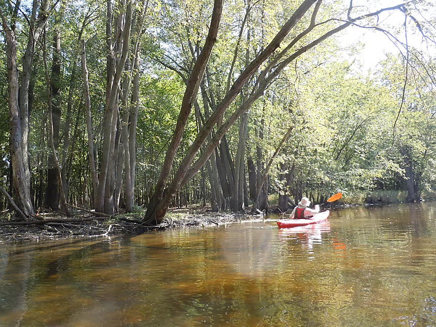
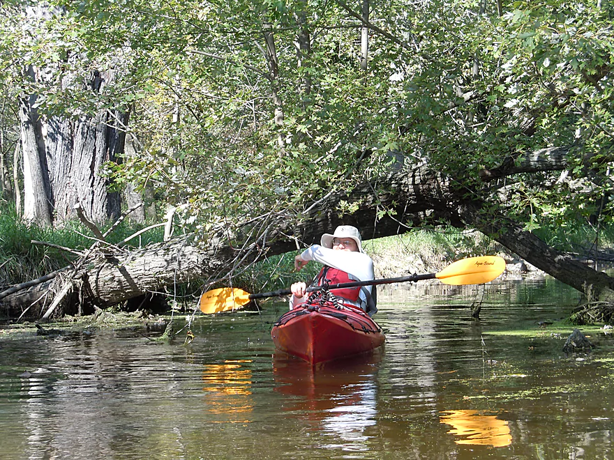
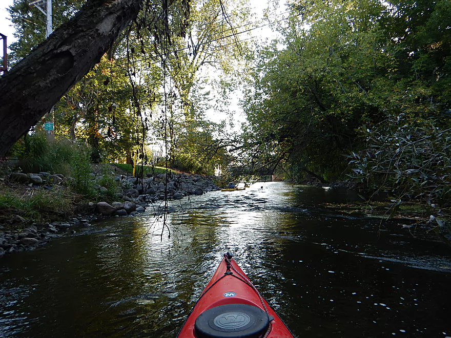
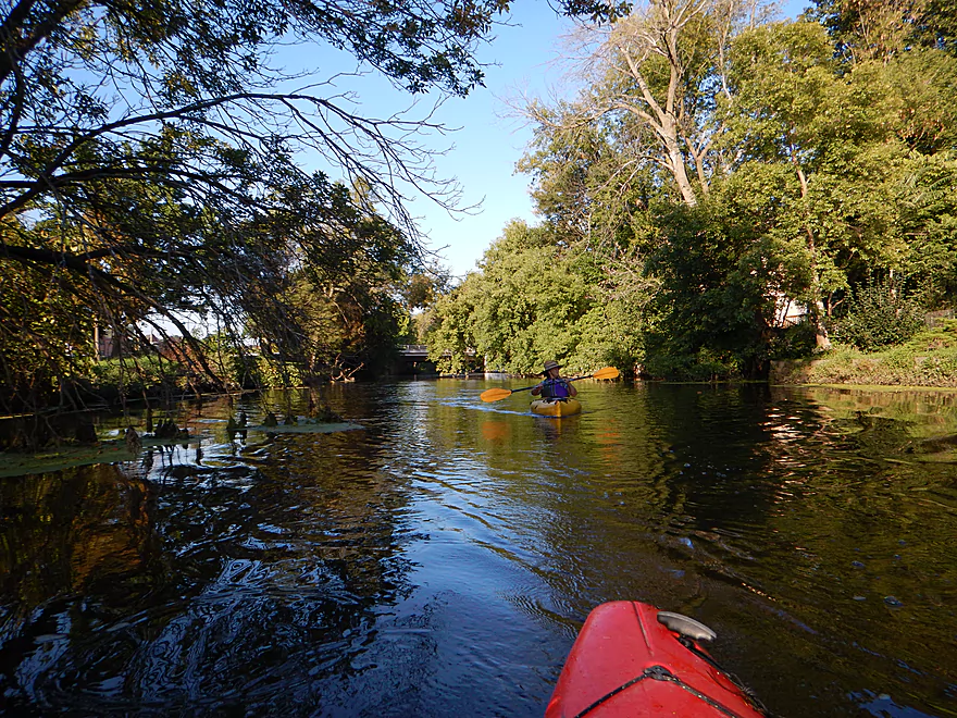
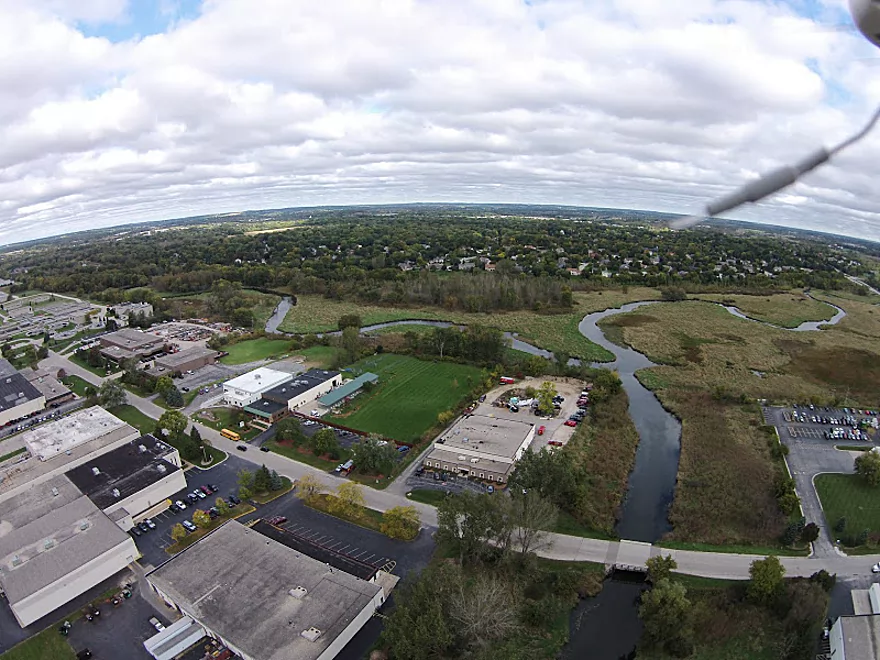
The Fox starts on a really nice note. Not exotic, but pleasant and peaceful with abundant wetgrass and a lot of waterfowl. A few times the river lost the wetgrass and entered into woods, creating a cool enclosed feeling. Despite the far upper Fox being in the heart of Brookfield, you actually don’t see too much development, and if it wasn’t for the constant road noise, you might never guess that you were paddling through a major urban area.
The river is surprisingly clean with a sandy substrate and at times, when the light is right, you could see right through to the bottom. My only major complaint would be the Brookfield sanitation plant. The effluent smelled strongly of laundry detergent and you could see the detergent bubbles in the water. This smell (and their bubbles) would last for 4-5 miles, which is pretty remarkable. Do consider environmentally friendly detergent for your laundry! The Fox unfortunately has a polluted history which you can read more about here.
About halfway into the trip you will paddle past the Pewaukee River and come across an access option by the Wonderland Tap Bar. From Wray Park to Wonderland Tap was 3.8 miles and mostly wetgrass, with occasional hardwood forests. The river changes quite a bit from here on out. The bar take-out is private, but frequently used by paddlers coming from the Pewaukee River, so I assume the owner has given permission for the public to use this.
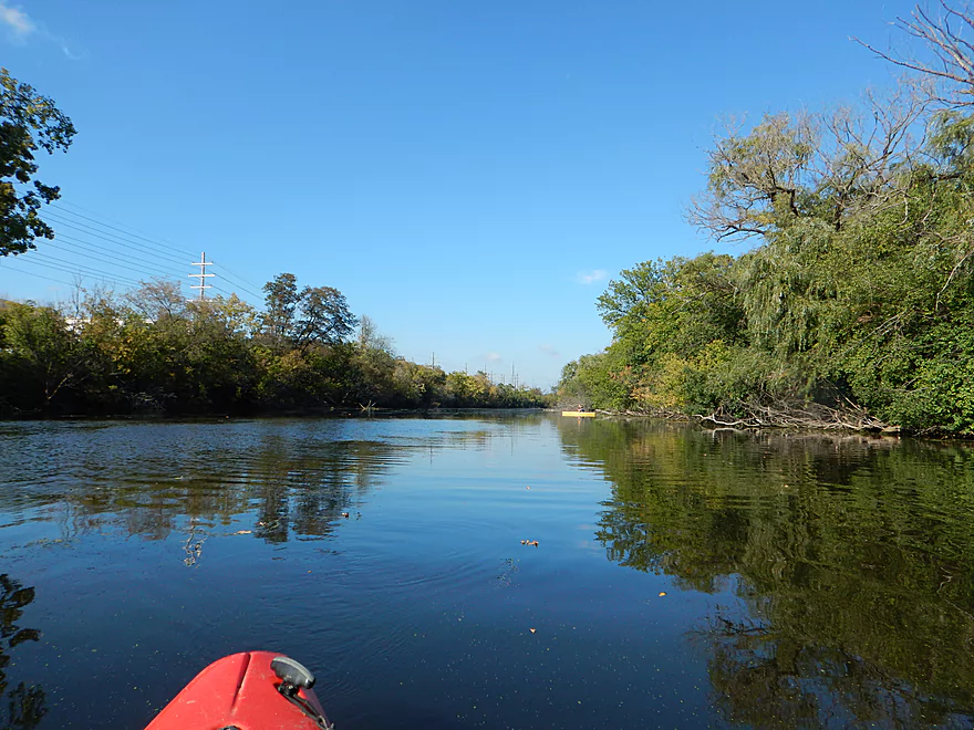
Now, for the boring part… From the bar landing to the dam is a slow, boring and big flowage (1.9 miles). Ironically, this might be the most popular segment with paddlers as it has numerous parks nearby, but most paddlers don’t realize they are actually doing the weakest section of the Fox. The road noise by the flowage was the worst, the algae was the worst, and there was the strong smell of asphalt (a local asphalt company resides to the east). But on a humorous note, we got to rescue an oversized flamingo boat that had slipped its mooring and was drifting away from its dock.
The dam in Waukesha must be portaged as it is too steep to run. There is a well marked portage take-out area by the three water fountains (try not to paddle under these). It’s a 230′ portage hike ending with an amphitheater of steps leading below the dam that is pretty negotiable, with the only downside being the many throngs of people you’ll have to get through. Boy, did they gawk…you would think they never saw a portage before…maybe they hadn’t!
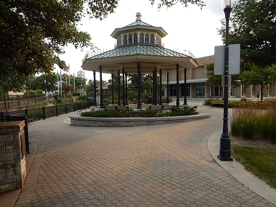
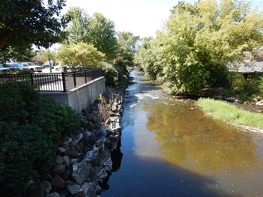
Now, for the best part. From below the dam to Grede Park is .7 miles and consists of mostly light rapids, which are a lot of fun. The river here gets extremely narrow at times, which gives it a fun, adventuresome feel. Much of this is an urban parkway, but tastefully riprapped and decorated. You’ll get to paddle by artsy bridges, statues, under an entire bank and past a historic well. Waukesha certainly has an interesting history with its groundwater.
The river after Grede Park really opens up and slows down, which is why I’m glad I took out here.
As a side note, do consider walking the riverfront from Grede to the dam after the trip. There is a pair of nicely constructed walkways on both sides of the river that afford great views of the rapids below.
Putting in on the upper Illinois Fox is tricky as few bridges in Brookfield have feasible parking options (and those that do have no trespassing signs). Most put in at Mitchell Park, which is a good option but would have made for a longer trip. You can put in at Wonderland Tap (a bar just south of the Hwy JJ bridge), but that would have made for a very short trip. My preferred compromise was to use Wray Park, a nice quiet park with good parking and outhouse. You do have to drag your boat 500′ over grass to the water, but this is doable. Now this is actually a ‘landing’ for Poplar Creek, but it connects very quickly with the Fox. Note: If you just want to run the rapids, putting in at Frame Park might be your best option.
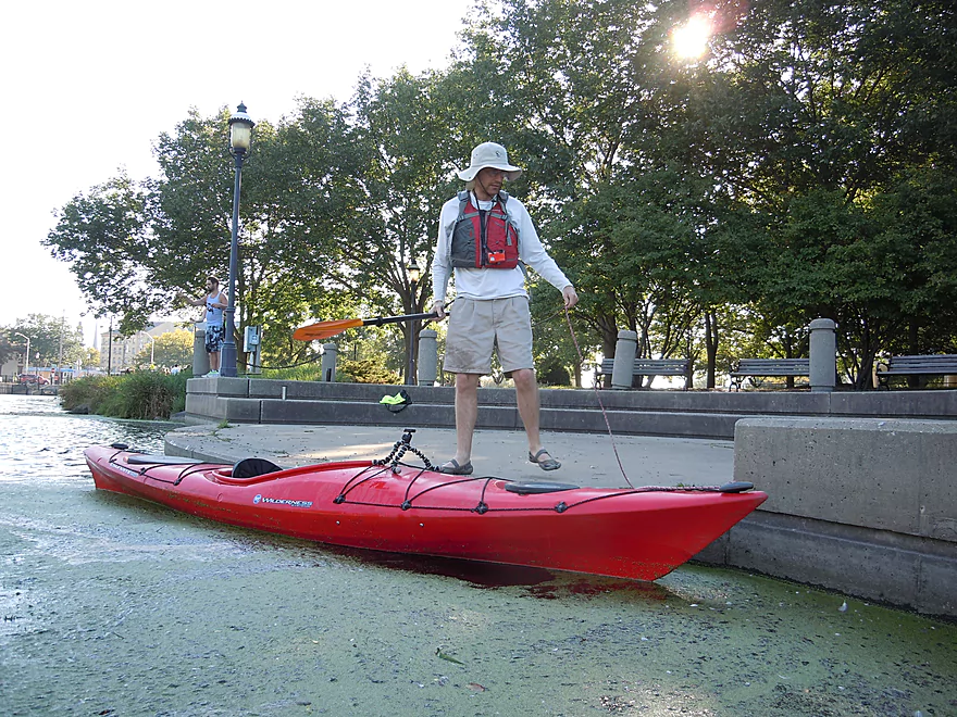
There are a number of parks bordering the river in Waukesha, but finding nearby public parking for more than a few hours was not easy. From all the scouting I did, I believe Grede Park is the best take-out option. You’ll see a nice pedestrian bridge shortly after the last of the major rapids. Yes, disembarking here is a bit cumbersome because of the steeper banks, but is doable. Public parking is by the bridge. If there are nearby public facilities, I did not see them.
There are nicer take-outs at West Sunset Drive and Les Paul Parkway, but these would add a few miles to the trip.
I’m not aware of any liveries in the area. There should be taxis nearby though.
Waukesha does not appear to be a friendly town for bike shuttlers. The main roads are busy, with poor shoulders. Your best bet might be to sneak up east of the river using back roads and then use Hwy SR to get past the interstate.
There were two notable snags, but we were able to scootch over both pretty easily. In lower water these might require portages. I’ve marked them on the map if anybody is interested in clearing them out.
There is a dam in downtown Waukesha that you must portage (see main write-up). Then there are the rapids after the dam, but I thought these were easy and all class 1. They might be tougher in higher water. Do note that there were a few strainers in the rapids that experienced paddlers will be able to dodge easily enough but might be an issue for beginners (3:18 in the video).
All that said, the upper Fox above the dam is very safe and would be well suited for beginners and bigger boats.
There is a local gauge in Waukesha which was at 80 CFS. This might be more average for spring, but for late summer was relatively high and provided plenty of padding for the rapids. So how much do you need to run the rapids? I scouted this a year ago at 45 CFS and thought the rapids seemed a bit bumpy. Maybe shoot for a floor of 60 CFS and a ceiling of 200 CFS (any higher is probably dangerous). The upper section of the river (above the dam) I doubt ever gets too low to run and, in fact, will have really nice water clarity at low flow rates.
Two eagles, a couple of great blue herons, many geese, some clams, many wood ducks (60-70), many partly-eaten silver maples (beaver), many small fish, many large carp, several painted turtles and a softshell turtle. Of the not-so-live variety, we had concrete foxes, a flamingo boat, a swan boat, a dragon boat and a bear family in Waukesha.
For being an urban paddle, this actually had a surprising amount of wildlife (at least waterfowl in the first half of the trip).
Detailed Overview
Thanks to Mike Svob, author of “Paddling Southern Wisconsin,” for the info about the lower sections.
- Upstream of Mitchell Park: The river actually seems big enough to run up here and there doesn’t seem to be too many logjams. However, I am not familiar with the area and am unsure of possible public access points.
- Mitchell Park to Wray Park: 4.5 miles that is mostly an open wetgrass paddle. Not exotic, but should be pleasant.
- Wray Park to Grede Park:
- Sub Trip – Wray Park to Wonderland Tap: 3.8 miles and nice, with wetgrass and some woods.
- Sub Trip – Wonderland Tap to the Waukesha Dam: 1.9 miles on a boring, noisy flowage. While there is a park by the dam, I’m not sure where you can leave your car.
- Sub Trip – Waukesha Dam to Grede Park: .7 miles on a really narrow, fast section with lots of light rapids. Very urban, but great fun!
- Grede Park to Sunset Drive: 2.5 miles. River slows and widens. Might be nice spots.
- Sunset Drive to Hwy 59: 1.0 miles. Slow and weedy section of the river.
- Hwy 59 to Hwy H: 1.8 miles.
- Hwy H to CR I: 5.2 Miles. This is a lazy stretch that lacks major highlights (other than good water clarity) and isn't an elite water trail, but locals may still enjoy it.
- Cty I to Cty ES/National Ave: 7.0 miles. Part of the Vernon Marsh State Wildlife Area. Much of this is marshy.
- Cty ES to Big Bend: 7.6 miles (reviewed by Mark Rhodes)
- Cty ES to Center Dr: 5.2 miles
- Center Dr to Big Bend (Village Park Boat Landing): 2.4 miles (also reviewed by Morrall Films)
- Big Bend to Conservation Drive/Tichigan Lake Public Landing: 7.4 miles (reviewed by Morrall Films)
- Tichigan Landing to Waterford Dam: 5.0. I presume mostly a boring, over-developed flowage.
- Waterford Dam to Sailer Woods/Hwy 36: 3.5 miles. From here on we lose most of our swamp and get higher banks and more woods. There is one other dam to portage in this section. There are numerous other access options on this route.
- Sailer Woods to Burlington (Congress Street): 4.8 miles
- Burlington to Hwy JB Bridge Access: 6.6 miles
- Hwy JB Bridge Access to Hwy W: 3.0 miles
- Hwy W to Silver Lake (Fox River Park): 6.0 miles.
- Silver Lake to Wilmont: 2.5 miles.
- Wilmont to Hwy 173 Landing: 2.8 miles (you are in Illinois now)
- Hwy 173 Landing to Chain O’ Lakes State Park: 3.9 miles
















A:
I have a little experience with the Illinois Fox North of River Road (Mitchel Park). I’ve paddled the length of Mitchel and also a bit further north.
This afternoon the water was high but slow as my 8yr old and I paddled our canoe about 1.5 miles upstream from Capitol Ave. before drifting back to Mitchel. There are several submerged snags but no strainers, log jams, rapids or other dicey obstacles. Didn’t drop ft as far as the River Road bridge, but suspect it may not be passable at high water.
There is a tall flat hill with pvc venting north of Capitol to the east of the river. Looks like an old landfill. The water clarity was mediocre, and there were lots of vegetation debris on the banks. This entire wetland is a giant storm water managment structure for local municipalities.
Plenty of wildlife. Many water fowl. 2-3 nests of ducklings and geese. 2 pair of Herons. Large muskrat lodge north of Capitol bridge.
I’ll explore more carefully when time permits and try to contribute a trip summary.
Dave
Thanks for the feedback!
I did this trip on Sun 9/13( approx 450 cfs , 4.75 ft) it was cold and windy, but I was in the area so I decided to give this trip a try. the water was high and fast, but there were no major obstructions that required me to get out of my boat (other than the dam) but there were a few spots that may have been more difficult if the levels were closer to “normal” Even with the high levels the water clarity was decent, not much wildlife, but as I said it was kind of a blustery fall day. The first part of the trip was surprisingly wooded for being an urban paddle, and the last part after the dam was fast and fun, but the high water washed out the rapids so it was just a fun roller coaster ride. I did a bike shuttle back to Wray Park and it wasn’t bad at all. I used the Fox River Bike Trail to the north side of Frame Park, then less then a mile on E Moreland (fairly busy) and then a few small neighborhood streets and a really short stretch on Springfield Rd. A good trip for anyone who lives in the area
It’s interesting that the rapids wash out at high levels…this means they are likely never too dangerous. It’s too bad about our bad weather…normally this would be a perfect time for a fall color paddle. Thanks as always for the information.
Warning to readers…as of 2023-08-06, there are several significant logjams upstream from the mouth of the Pewaukee River.