Kickapoo River – Gays Mills


The Lower Kickapoo, unlike the Upper Kickapoo, doesn’t have cliffs. As a result, it’s somewhat overlooked by paddlers, but it is still worth paddling. I’ve previously done legs by Steuben and Plumb Creek which were solid trips. This time around the goal was to paddle through Gays Mills to hopefully see some nice fall color.
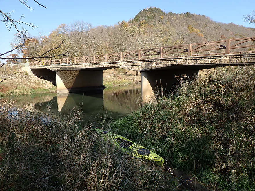
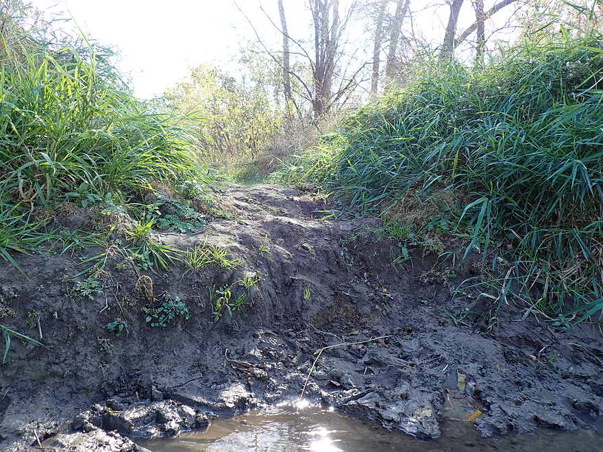
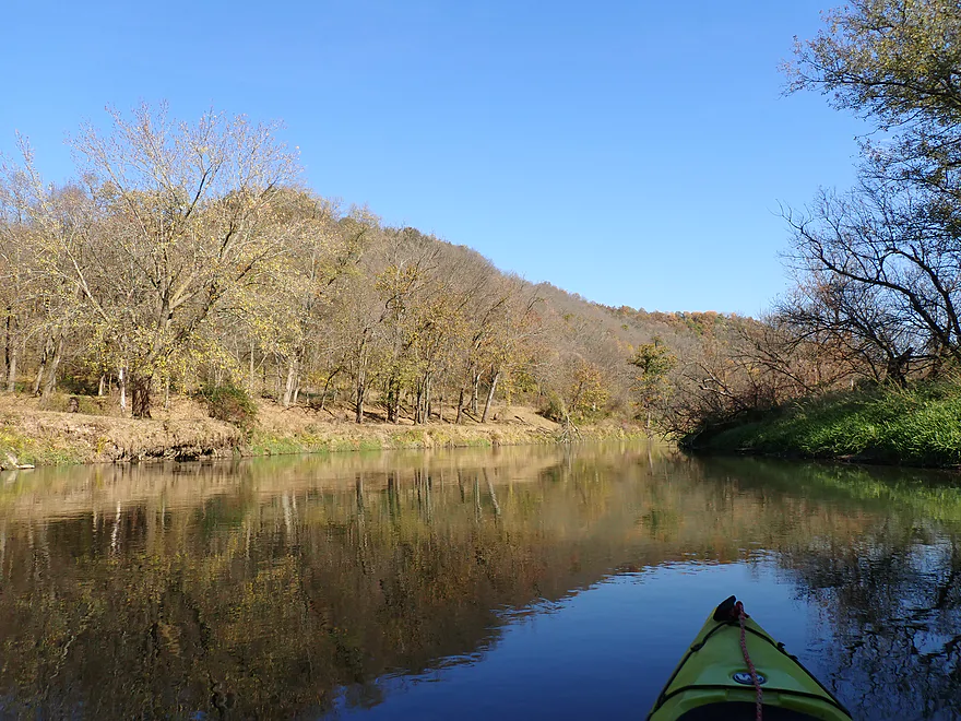
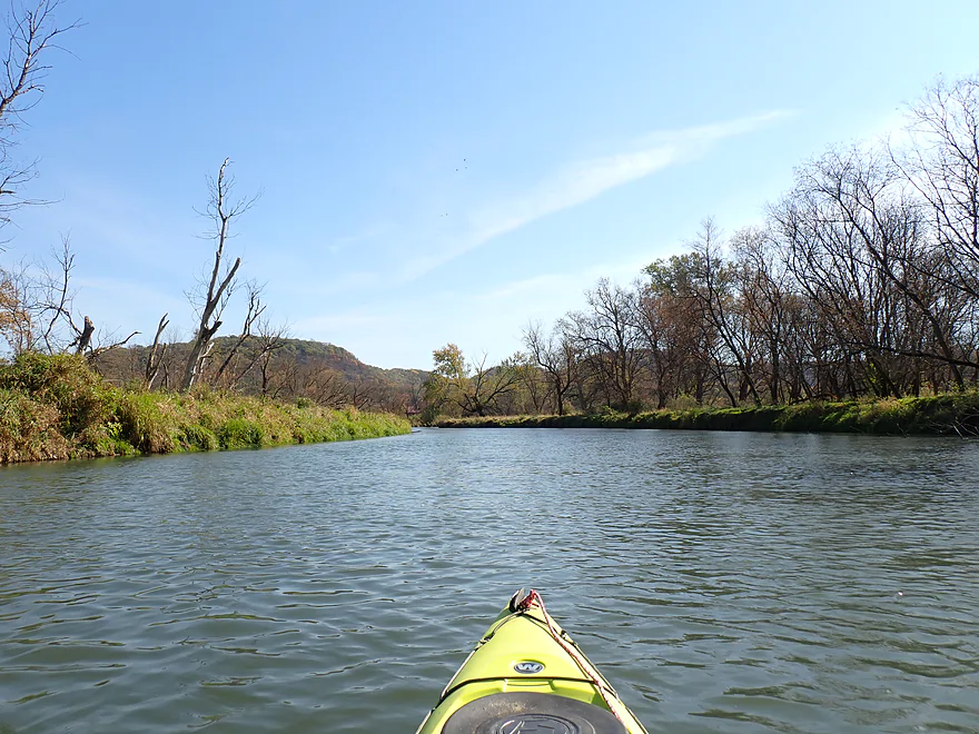
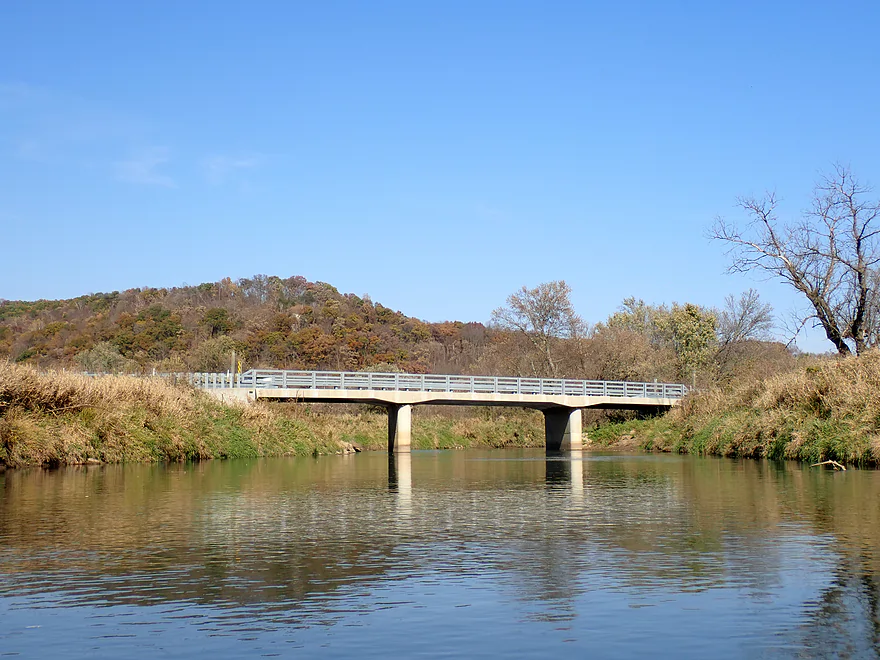
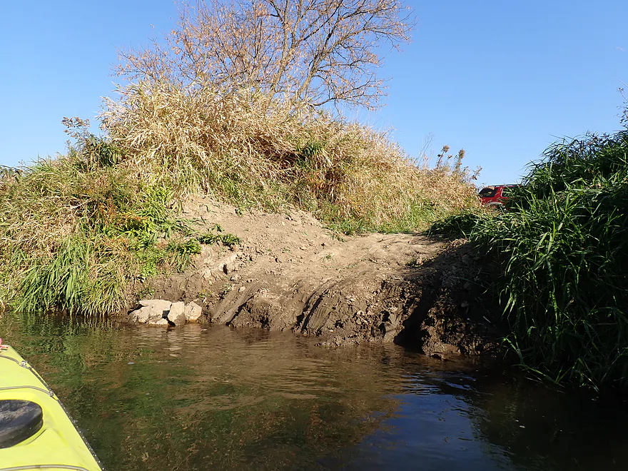
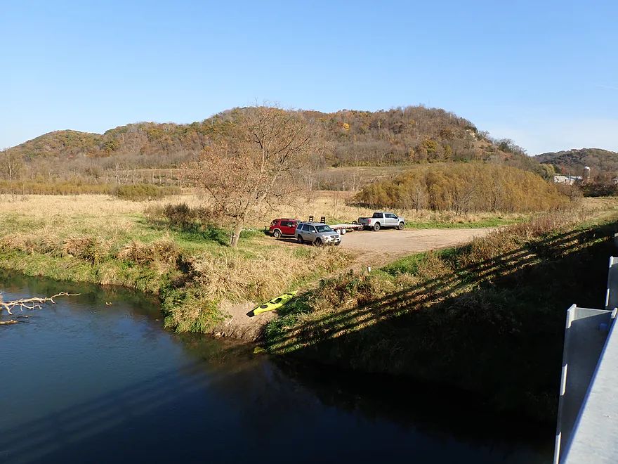
I started the trip at Hwy B, which I knew would be a good access based on a cool 360 degree streetview image showing a large paddling convoy taking out here. Backdropped by a bluff to the north, it’s incredibly scenic…but somewhat muddy. My “solution” was to remove my shoes…wade a bit into the mud to launch and then try to clean the mud off my feet while in the kayak. But boy, was the water cold (the Readstown water temperature gauge said 49 degrees but it was likely colder than that). Had I known this I would have worn my cold weather gear. For much of the trip I could feel the ice cold water through the hull and I had to keep my feet resting on the pegs to keep them warm (mind you the air temperature was 77 degrees).
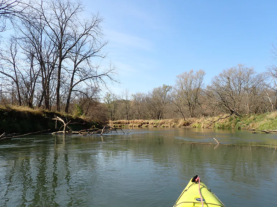
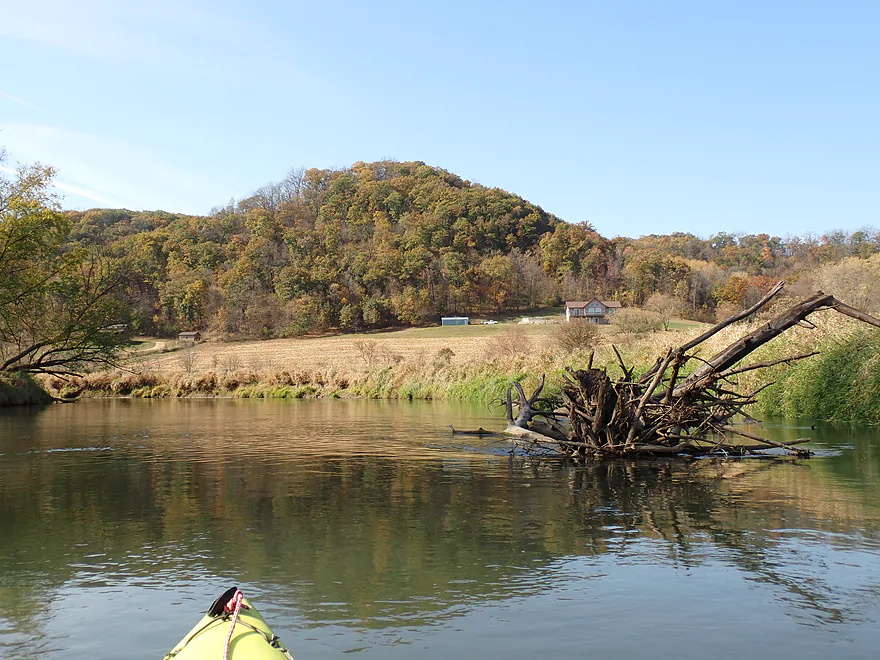
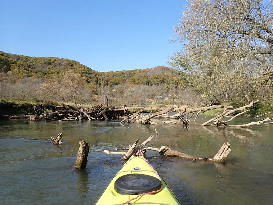
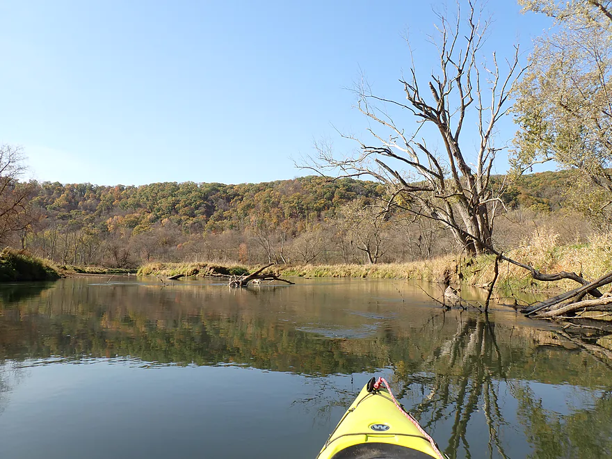
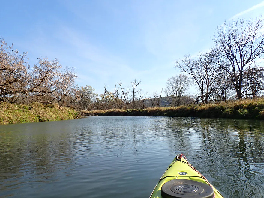
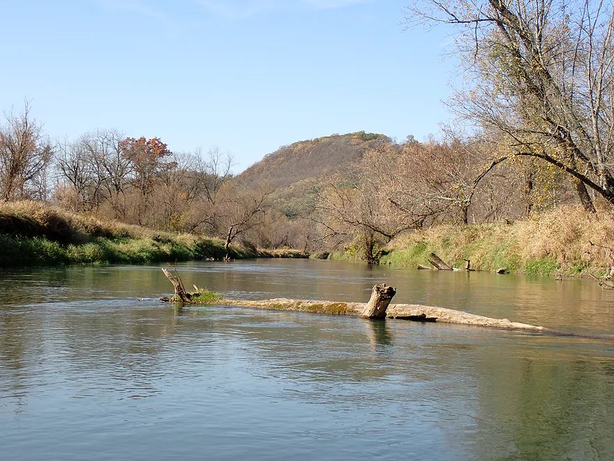
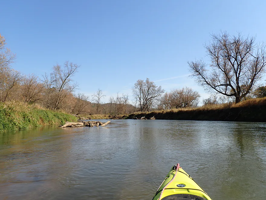
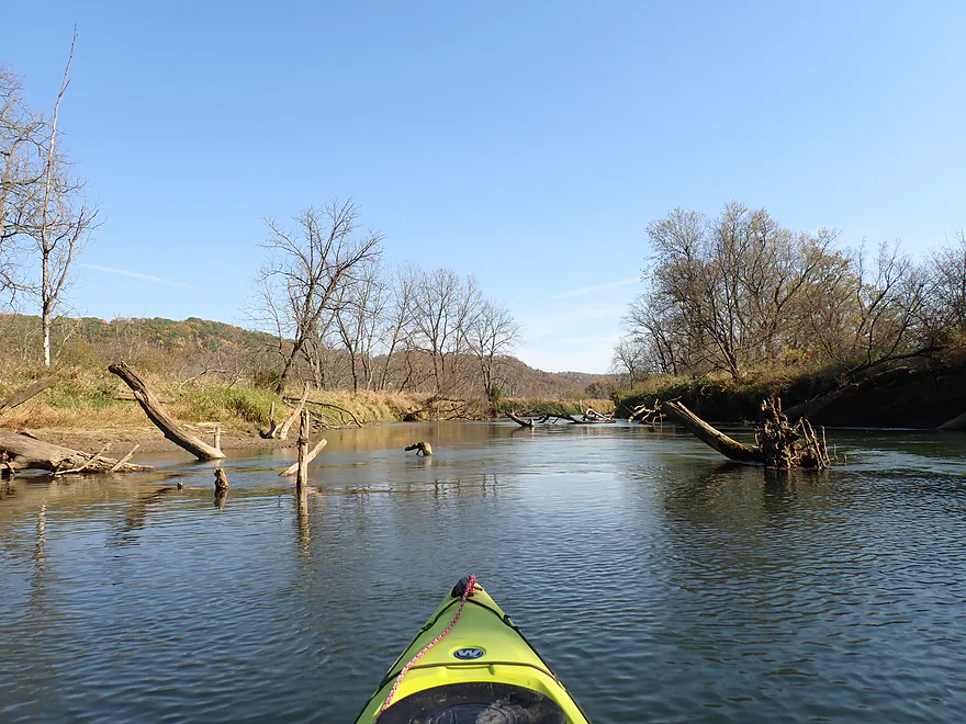
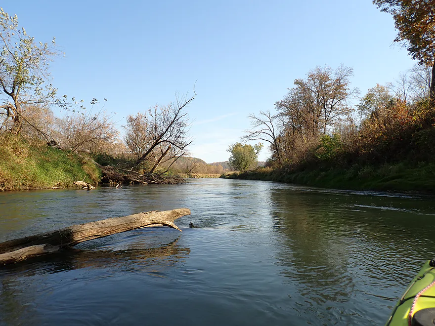
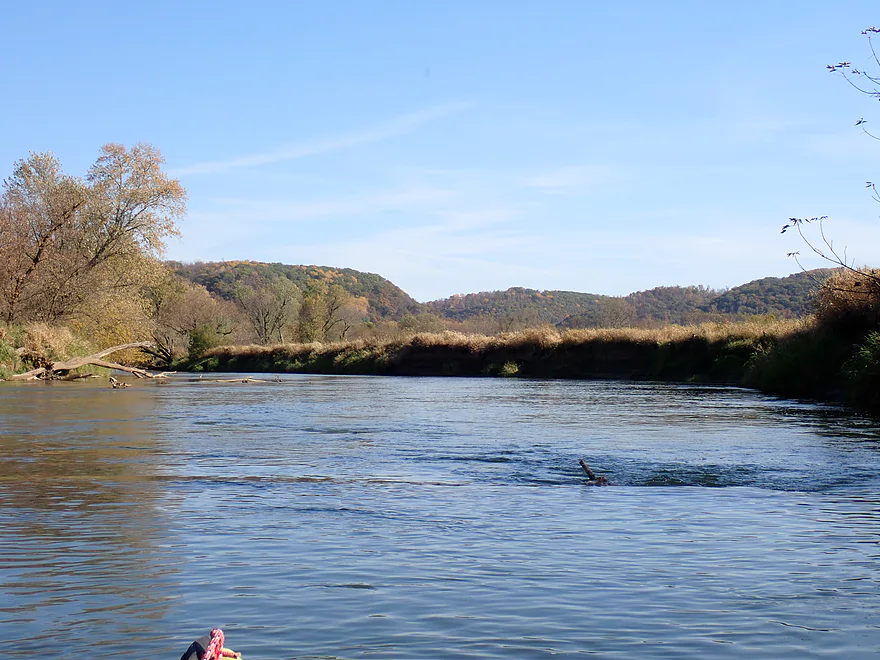
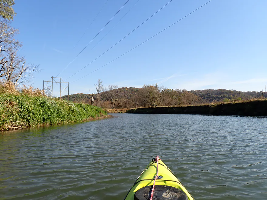
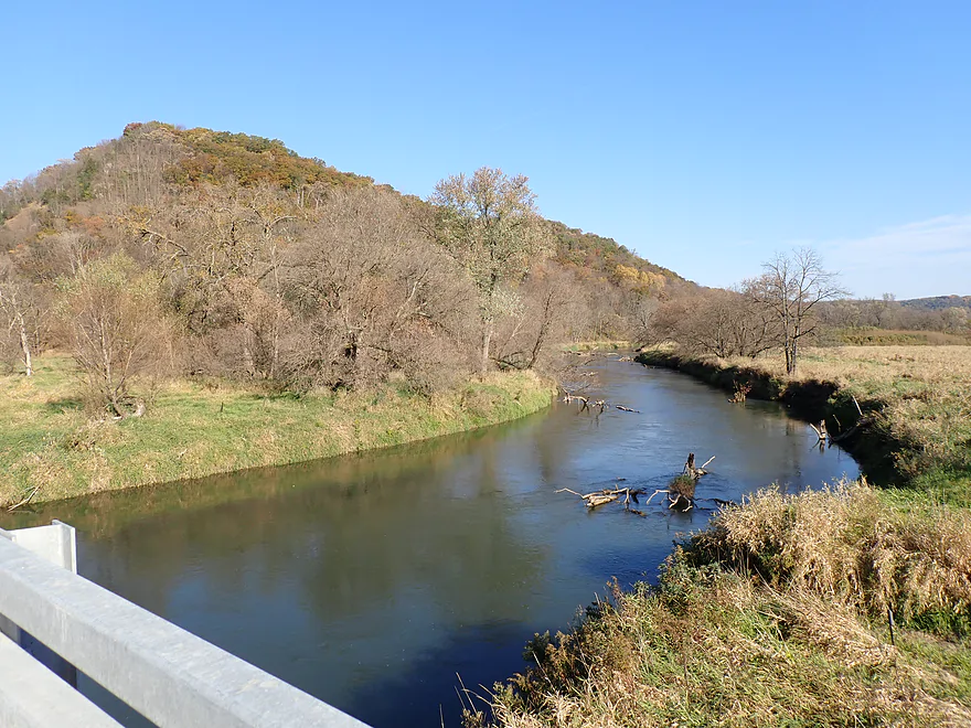
The first two miles of the trip were surprisingly fast and deep. Partially submerged logs were common but not difficult to avoid as long as you stayed vigilant. Thankfully, there were no logjams on this trip, despite the deadfall. Unlike, say, the dreaded Viola stretch, the river here is simply too wide for downed trees to obstruct.
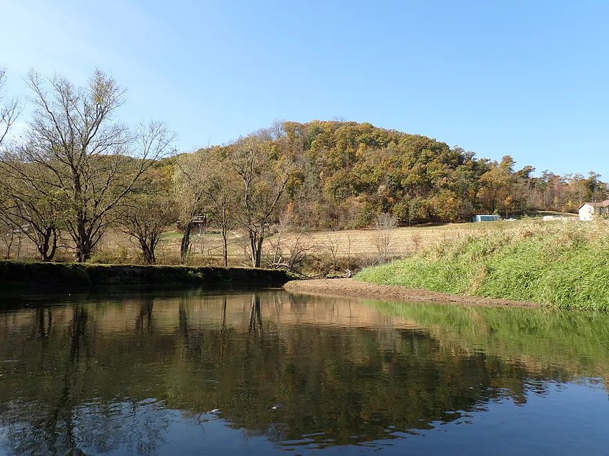
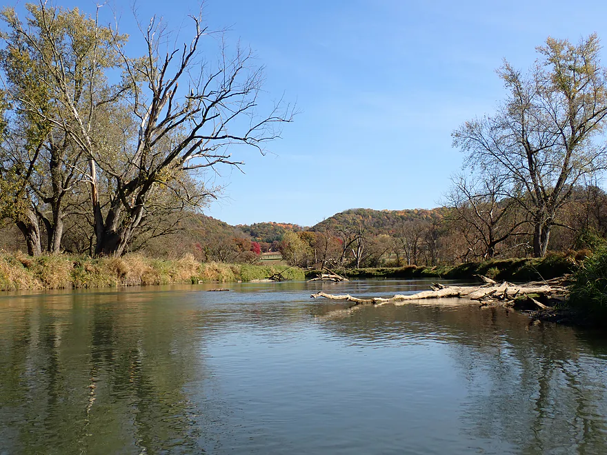
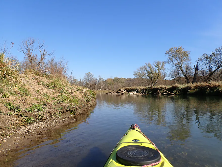
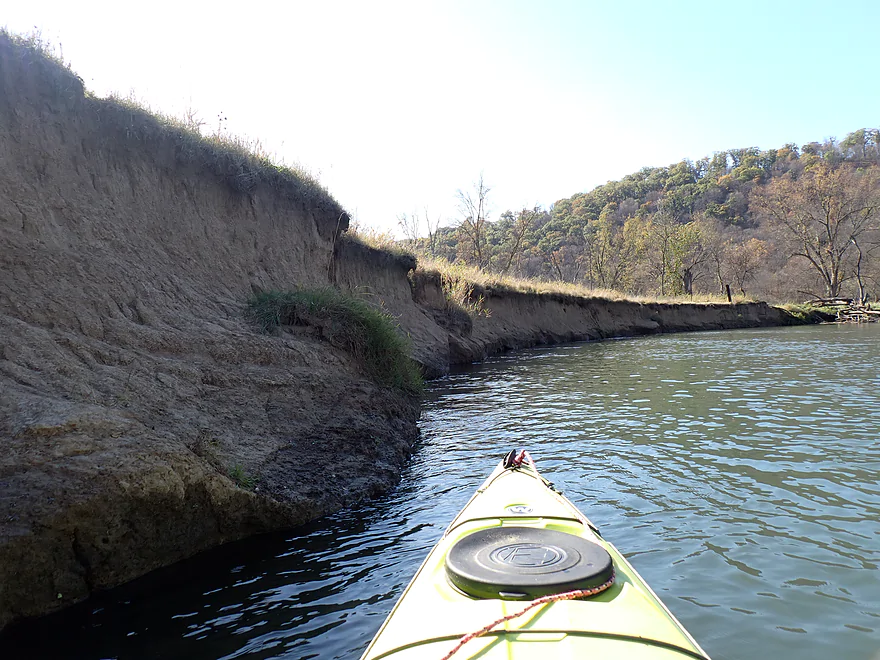
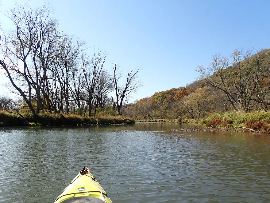
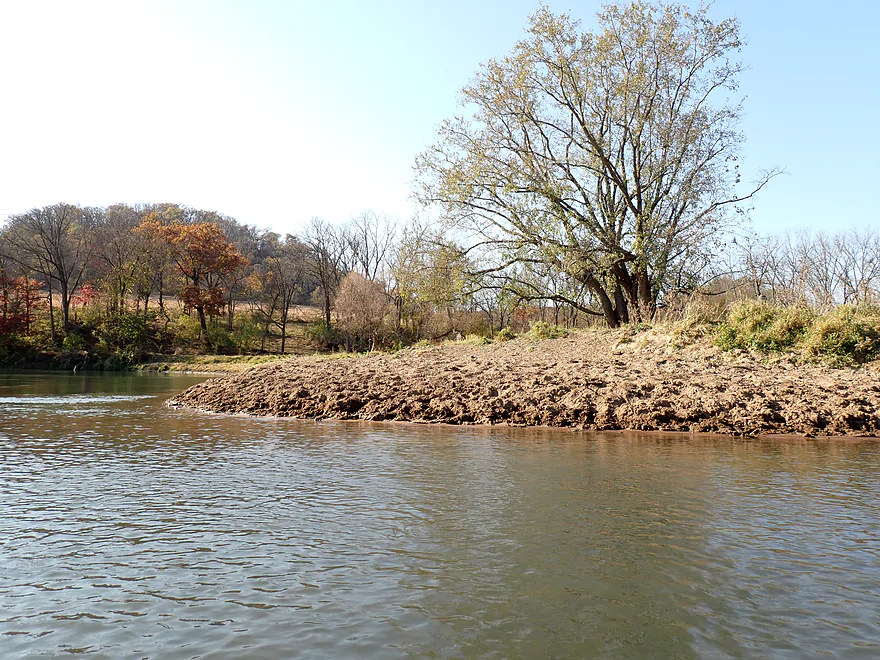
Bank quality wasn’t that good. In general it was a mixture of flood-bottom scublands, mud banks, and pasture. Weeds, weed trees, and dying trees leaning into the water were common and unsightly. Part of this is undoubtedly due to the frequent and vast flooding that occurs on the Kickapoo.
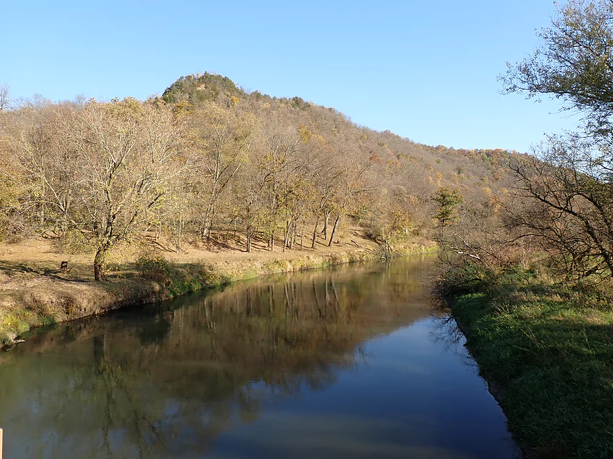
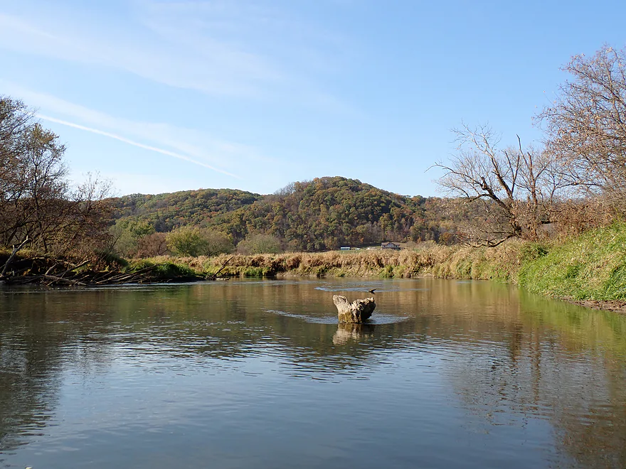
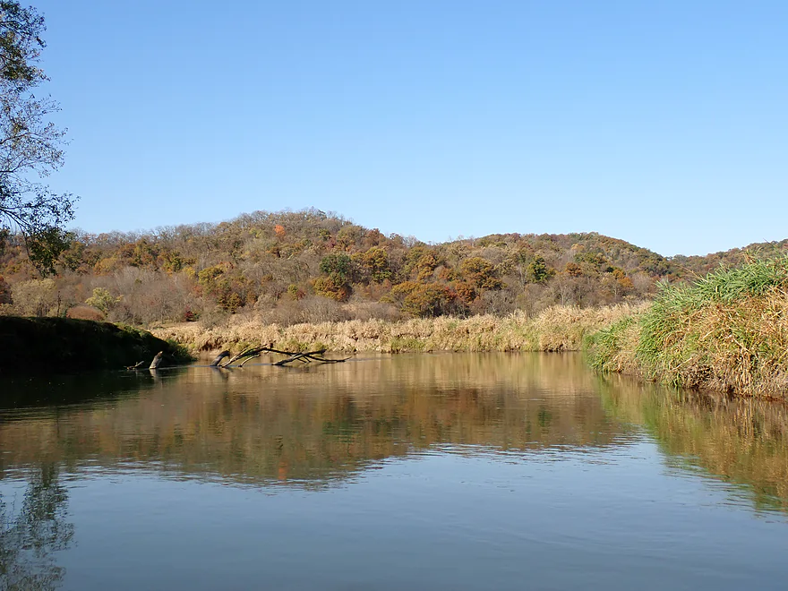
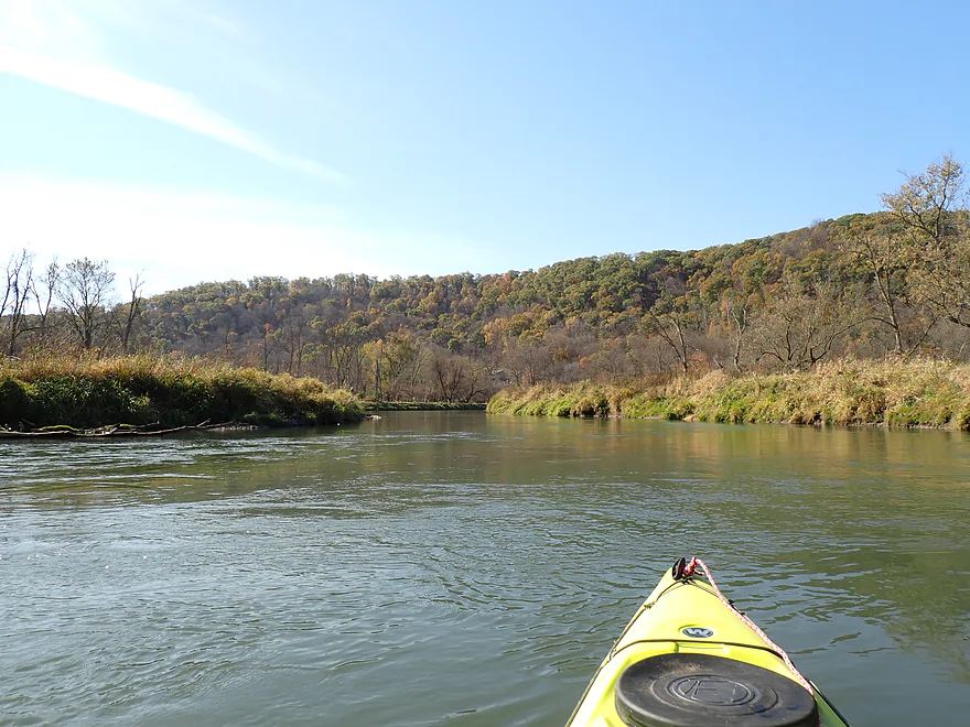
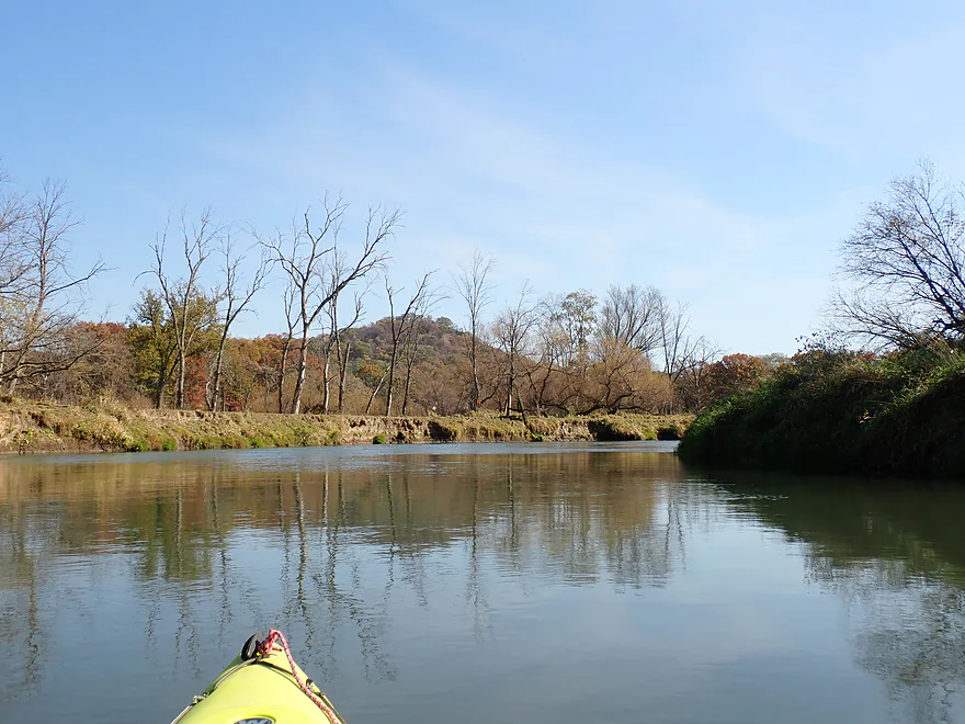
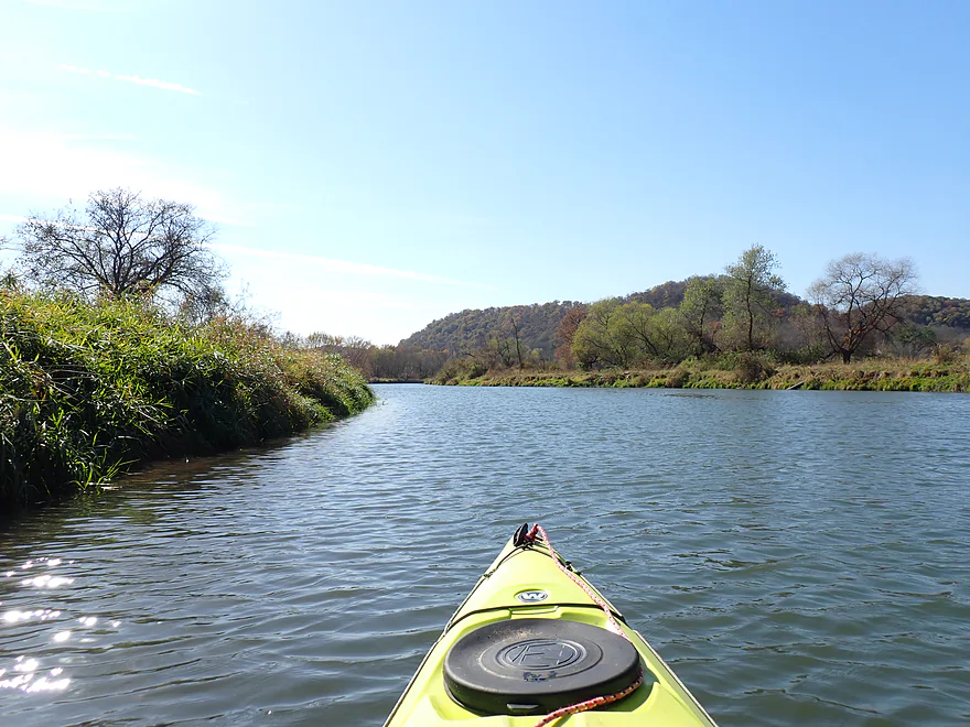
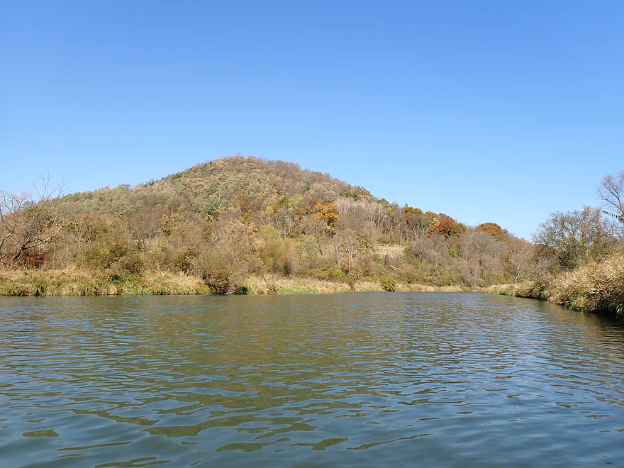
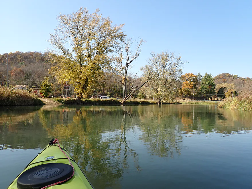
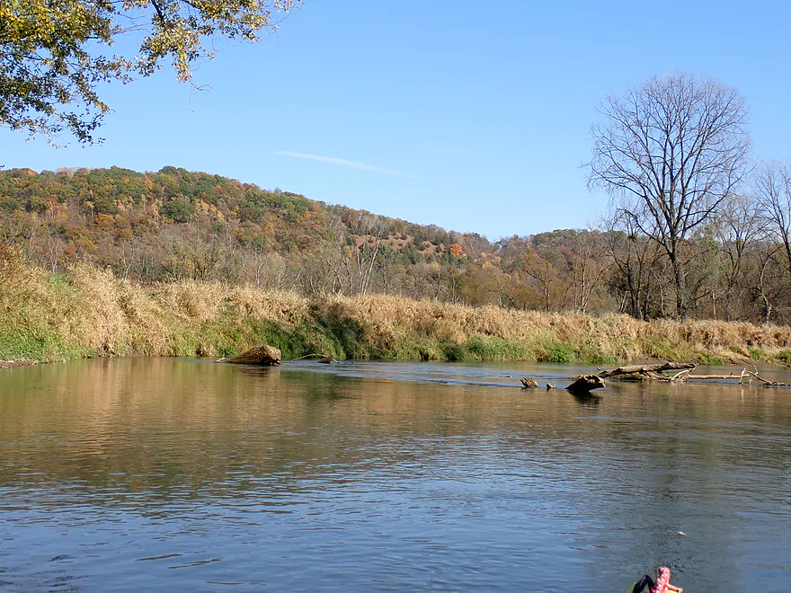
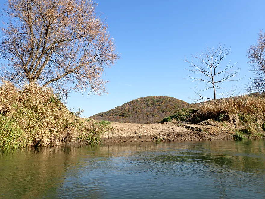
While the flood-bottoms weren’t interesting to paddle through, the bluffs in the distance were terrific…these mini-mountains occasionally popped up over the horizon line and around the next turn which provided the highlights for the trip. Even by Driftless Area standards, these bluffs are unique as they are exceptionally “steep and pointy”.
I recalled from my Tainter Creek trip that the Gays Mills area had terrific color. But that was done Oct 6th and it was now Oct 19th. Most of the sugar maple were past peak and bare, which had me bummed. The oaks, though, were still turning and provided at least some color. I guess if you want to do a proper fall color paddle on the Lower Kickapoo you have to aim for an early October trip.
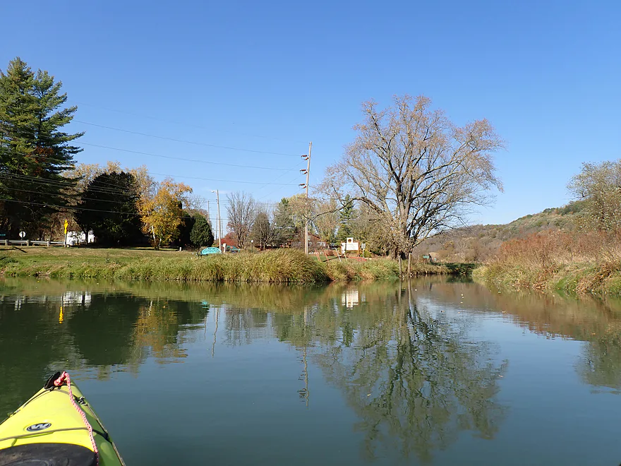
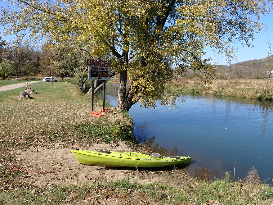
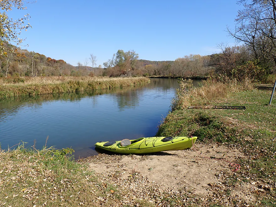
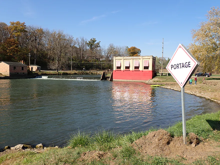
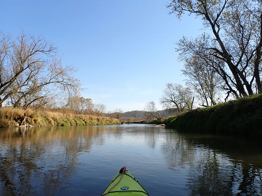
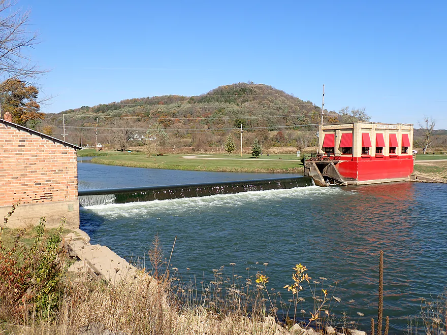
About a mile upstream from Gays Mills the current slowed a bit as the downstream effects of the dam kicked in. Sooner than expected I came around a corner and spotted the main portage sign. This is 100% a dam you want to portage as it is a very dangerous low-head dam (it really should be removed). The portage path is a bit excessively long, but quite doable and not bad. After completing the portage, I parked my boat under the dam and headed to the top of the bridge to stretch my legs and take pictures.
The dam is backdropped by a bluff to the north, which is very scenic. The adjacent power house is in poor shape and a sign proclaims itself a museum, but it was locked tight and inside it looked empty. East of the dam and along the portage route is Robb Park. I was surprised as to how popular the park was…especially with Iowa license plates. Most were taking pictures of the river and dam like I was. To the north was the mouth of Tainter Creek which I had done a trip on six years ago. The review proved not to be very popular, but the creek, despite some challenges, was very scenic.
As I headed back to the dam to start the second half of my trip, a family approached my parked boat and a five-year old seemed interested in taking my “abandoned kayak”. I wasn’t worried about him…but the adult near him, that was practically touching the boat and staring intently into the cockpit, had me more concerned. The family soon dispersed when they saw me approach with my life jacket on and I continued downstream.
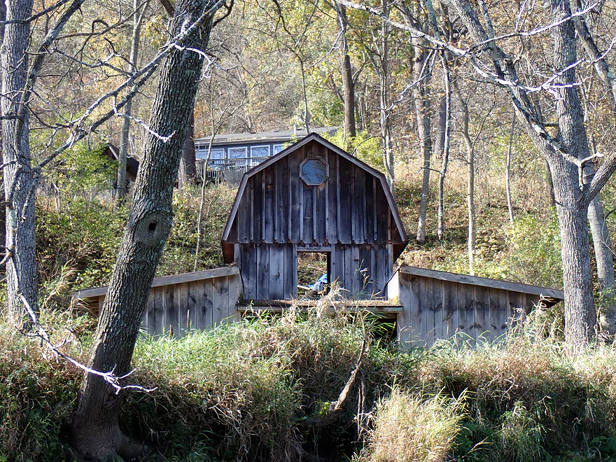
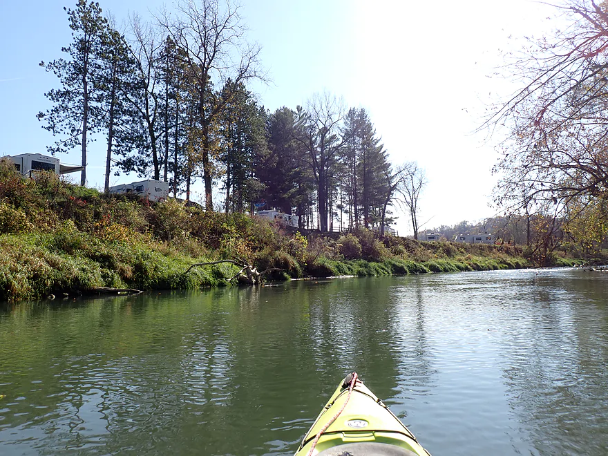
Along the east bank was the community of Gays Mills…well, the old part of town. Perhaps no community in Wisconsin had been hit harder by floods than Gays Mills. At one point they decided to move the city a half mile north (and much further uphill) to form a new Gays Mills. Many (but not all) lots along the river in the old city have been abandoned. There are still some homes and businesses, including a large RV Campground I passed (a clever use of flood-prone property). Unfortunately I’m not sure the campground has much appeal…the RV’s were packed in tight spaces with no cover or privacy from adjacent lots. One smelly fire and a continually yapping dog likely ruined the experience for everybody else in this high density lot.
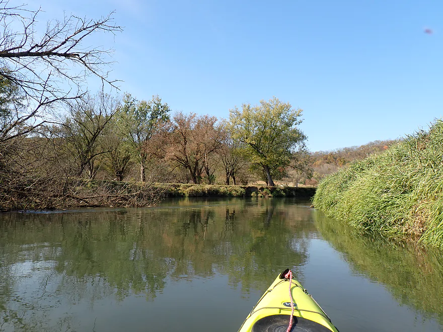
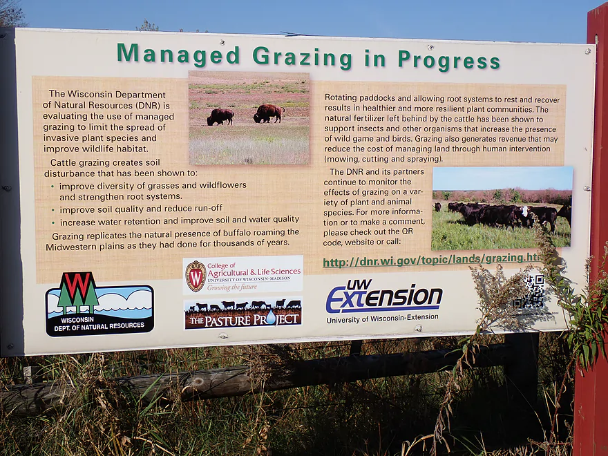
The second half of the trip didn’t feature as much impressive bluff scenery…but I liked it more. The previous rowdy current became less rambunctious, the bank quality improved, there was less cattle grazing, and I was finally not paddling directly into the sun. Tree leaves and floating walnuts littered the surface and provided nice ambiance. All in all more relaxing and enjoyable.
I ended the trip at Hwy S, which was also, unfortunately, muddy (and in need of a gravel dump). This, like the put-in, was scenic and backdropped by some great bluffs. Two other cars were parked here, but I suspect they were for downstream trips to Barnum or even Steuben.
In summary this was a solid paddle. I was slightly disappointed because I had hoped this was going to be my major fall color paddle of the year…but most of Crawford County had already peaked and was in a “D1 drought”. Last year’s trip at the same time on the Turkey River had WAY better color. That being said, it’s not a bad paddle. Yes, the exposed banks, submerged trees, and mud weren’t attractive…but the bluff vistas were fantastic and still had some color. Compared to the other Lower Kickapoo trips, Plumb Creek is still my favorite.
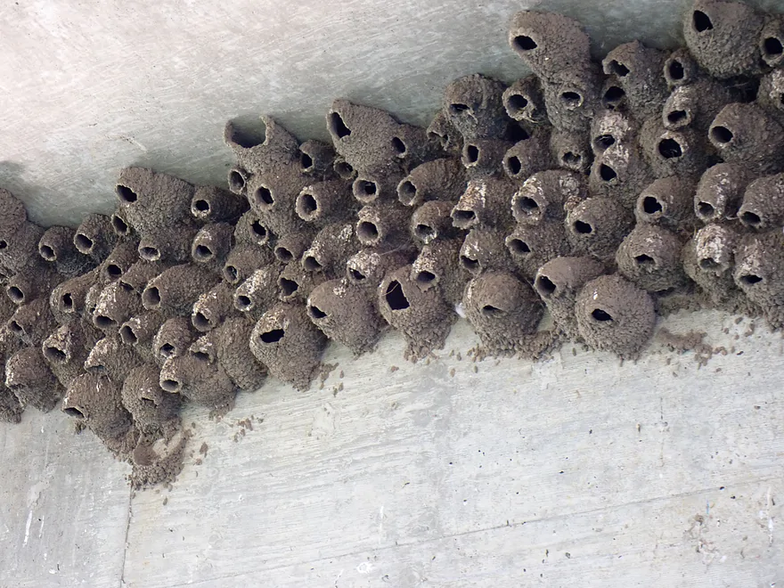
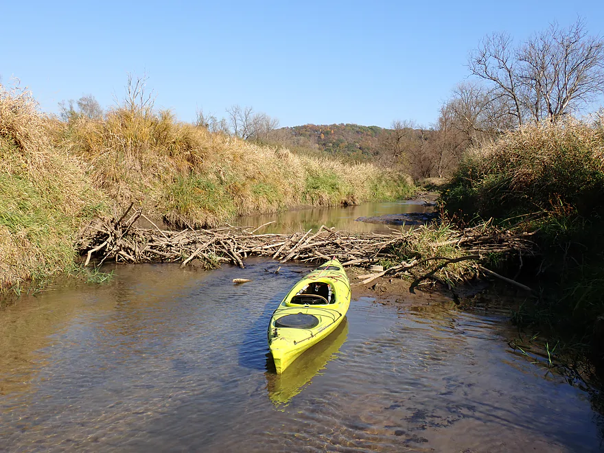
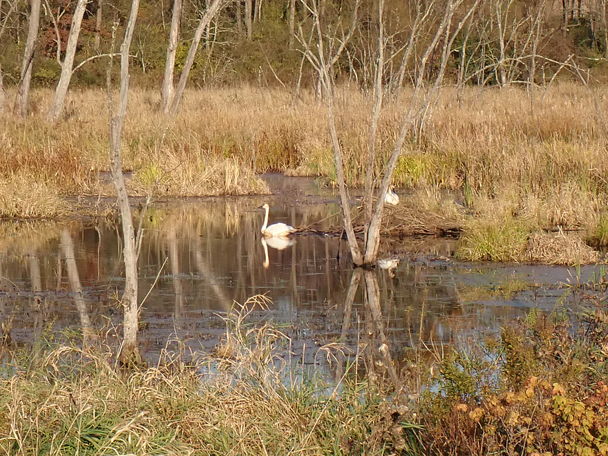
There wasn’t much (typical for fall). But I did see several red-tailed hawks, a beaver dam on the mouth of Sand Creek, some songbirds, a handful of cattle early in the trip, and a huge cliff swallow colony under Hwy B. The highlight was seeing some swans on an old oxbow lake near the take-out, then two more times when driving along Hwy 131 by the Kickapoo. I’ve never seen so many swans in one day.
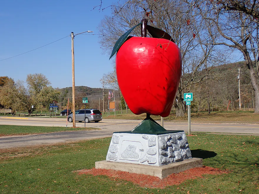
Gays Mills Orchards: The orchards are what make Gays Mills famous. There are about six in the area and supposedly something about the elevation, steep hills, or soil type makes the apples extra tasty. In the fall the orchards are a huge tourist attraction where various apple products, deserts, and fall produce are sold. The fall color by the orchards can be very good…driving through the rugged Driftless Area hills to reach Gays Mills can be as much of an experience as the orchards themselves.
Gays Mills Overlook: East of town, Hwy 171 descends down a steep hill to enter the river valley. Atop the hill is a historical marker and a photogenic overlook with a view of the city and river. In the summer trees largely obscure the view, but in fall the vistas are nicer.
Hwy B: There is a good public canoe landing downstream/south of the Hwy B bridge. Be warned, it is muddy.
Alternative Put-ins:
- Soldiers Grove (9.2 miles upstream from Hwy B): The launch would be good but muddy. I don’t know much about this upper leg but I don’t think it would have logjams…probably mostly lowland flood-bottom paddling with some bluffs.
- Robb Park/Gays Mills (4.0 miles downstream from Hwy B). There is a good launch area below the dam.
Hwy S: There is a good public canoe landing east/upstream of the bridge. Be warned: this too is muddy.
Alternative Take-outs:
- Robb Park/Gays Mills (4.4 upstream from Hwy S). You could get out above the dam by the portage path.
- Haney Valley Road (5.6 miles downstream from Hwy S). I believe this would be a doable bridge access. I don’t know much about this possible bonus leg though.
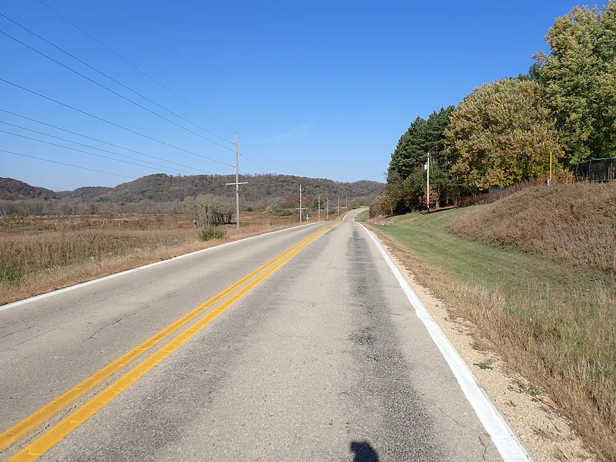
Bike Shuttle – Hwy S to Hwy B: 6.5 miles with 115′ of ascent. Hwy 131 is a bit busy with narrow shoulders, but this is otherwise an ok shuttle (and scenic). Typically bike shuttles in the Driftless Area can have brutal hill climbs…so only having to deal with 115′ of ascent was really nice.
Note: shuttlers might be tempted to take the “Stump Dodger Trail” that almost connects Gays Mills to Hwy B. This is along an old rail right-of-way that used to connect Ontario to Wauzeka. Sadly, only part of the railroad has been publicly reclaimed and significant portions were given away to private interests (mostly for cattle pasture). A trail sign marks the public portions in green and the private in red (it’s mostly red).
Rentals/Shuttles: Generally speaking I don’t think the Upper Kickapoo liveries come down this far south. Per Google there is a livery “Ocooch Mountain Made” in Gays Mills. They might provide rentals/shuttles…call 608-735-4008 for more info.
Current: This was surprisingly fast…especially upstream from Gays Mills. The river does slow somewhat immediately above the dam though.
Rapids: None.
Dam: The Gays Mills dam is an extremely dangerous low-head dam. If you go over, you likely won’t come out. A well-marked portage path is located east of the river…you can’t miss it.
High Water: The Lower Kickapoo is famous for flooding…especially in spring and early summer. Stay off the river when it is high as the currents will be extremely fast and unforgiving.
Logjams: Nothing needed to be portaged. There was a big snag upstream of Gays Mills that required a bit of threading to get through with some current, but it wasn’t too bad.
Strainers: There are a number of partially submerged logs in fast current that, if struck by your boat, could stop, spin, and flip it over. Generally speaking, they are easy to avoid, but stay vigilant as it would be unfortunate if you hit one.
Cold Water: Paddlers should be careful of doing water trails outside of summer when the water temperature can be cold. The Lower Kickapoo actually has a gauge and it was 49 degrees for my trip (that’s cold). A general rule is you don’t need protective clothing if the combined air and water temperature is above 120 degrees (but this isn’t an absolute rule). If below 120 degrees, special protective clothing should be worn.
Closest Gauge: Kickapoo River @ Steuben
Trip Depth: 451 CFS or 6.32′
Navigability Estimates: Note, these are just rough estimates. Always use your own judgment.
- < 6.5′: Relatively low, but still plenty deep. I don’t think this leg ever gets too low to paddle.
- 6.6-6.7′: Average depth.
- 6.8-7.0′: Above average depth. River will be pushy and getting past some strainers might be difficult.
- 7.1-7.4′: High depth.
- 7.5’+: Very high depth. Maybe too high for safe paddling because of the fast current and strainers.
Quick Overview
- Wilton to Ontario: 12 miles. This stretch is seldom paddled, but is cleaner and faster than downstream legs. Those willing to endure weedy bridge accesses and occasional snags will be rewarded with spectacular outcrops. A very underrated part of the river.
- Ontario to Rockton: 13.5 miles. This is the most popular section for kayaking on the river (if not the entire state). Highlights include many spectacular sandstone outcrops. This stretch can easily be subdivided. Shuttle services are plentiful, but this leg can get crowded and noisy during summer weekends.
- Rockton to La Farge: 11 miles. This is the second most popular stretch of the river. While the outcrops here aren’t as numerous as the Ontario leg, they do tend to be larger and more impressive.
- La Farge to Mouth: ~90 miles. After La Farge there are few rock outcrops and the river becomes much less interesting. The Lower Kickapoo is a generic hardwood floodplain that is at best a mediocre paddle.
- Tributaries:
- Kickapoo River – West Fork: While lacking the outcrops of the main branch and a bit shallow in spots, this is a very underrated river with many fun rapids.
- Billings Creek: I actually like this creek better than the main river itself. There are just as many outcrops, and the water and banks are much cleaner.
- Tainter Creek: While not very big and lacking in outcrops, it’s still a cool creek with very swift current.
Detailed Overview
- Upstream from Lincoln Ave: The river is likely too small and degraded by open pasture to have much appeal for kayaking. Although "Kickapoo Springs" (the primary source of the river and a public DNR area) might be interesting.
- Lincoln Ave to Keystone Road: 2.5 miles. The river is small here (likely too small for most paddlers) and more scruffy with fewer outcrops. Figure 1-2 logjams and 3 outcrops. Several of the Elroy-Sparta Trail bridges over the river are quite scenic/rustic. High water will be required to do this stretch.
- Lincoln Ave to Hwy 131 (East of Midge Road): 6.3 miles.
- Lincoln Ave to Hwy 71: 1.6 miles. Section includes five outcrops, including one really nice one. River is shallow here with many Class 1 rapids. There is one strainer that has to be portaged, but no other logjams. I encountered a bull on this stretch (here) which might be a deal breaker for most paddlers. You could possibly portage around the farm in question along the Elroy-Sparta Trail but it would be a long and difficult portage.
- Hwy 71 to Wilton Campground/Library: 0.7 miles. A nice stretch with ~3 mediocre outcrops and one really nice one. Water clarity is stunning here. There is a low tree that requires some tight ducking to get under.
- Wilton Campground/Library to Hwy 131 (by Posey Creek): 1.4 miles. Less attractive stretch but still ~4 mediocre outcrops. There is a serious logjam by Water Street that must be portaged.
- Hwy 131 (by Posey Creek) to Hwy 131 (by Mica Rd): 1.3 miles. A terrific stretch with scenic pine trees, several mediocre outcrops and one fantastic sandstone outcrop.
- Hwy 131 (by Mica Rd) to Hwy 131 (East of Midge Rd): 0.7 miles. More of a scruffy stretch, but still a few mediocre outcrops. The Black Valley hills in the distance are very scenic from this leg.
- Hwy 131 (East of Midge Road) to Hwy 131 (near Nicollet Ave): 4.1 miles.
- Hwy 131 (east of Midge) to Hwy 131 (by Michigan Ave): 0.5 miles. A good leg with one nice set of outcrops.
- Hwy 131 (by Michigan Ave) to Hwy 131: 0.6 miles. Another good leg with 3 outcrops. Some minor rapids, including a 4-6" ledge.
- Hwy 131 to Hwy 131 (by Nisswa Rd): 0.6 miles. One of the best legs on the Upper Kickapoo which features 6 noteworthy outcrops and terrific ice flows in February and early March.
- Hwy 131 (by Nisswa Rd) to Hwy 131 (by Nordale Ave): 1.1 miles. Not as scenic as other legs with messy shorelines and eroded banks. There are still a few nice outcrops.
- Hwy 131 (by Nordale Ave) to Hwy 131 (by Nicollet Ave): 1.3 miles. Another one of the Upper Kickapoo's best legs with ~6 outcrops, including a small natural bridge you can paddle through.
- Hwy 131 (near Nicollet Ave) to Ontario: 5 miles.
- Hwy 131 (by Nicollet Ave) to Hwy 131 (Oil City): 2.3 miles. Two long stretches of bluffs contain great outcrops.
- Hwy 131 (Oil City) to Hwy 131 (Kickapoo Wild Adventures): 1.4 miles. Terrific stretch with two major outcrops. One set of Class 2 rapids.
- Hwy 131 (Kickapoo Wild Adventures) to Ontario (Brey Valley Road Park): 1.5 miles. Three sets of outcrops.
- Ontario to Hwy 131/Bridge #4: 3.6 miles. A more open and flatter stretch of the Kickapoo. There are still 3-4 outcrops. This is THE most popular leg on the entire river.
- Bridge #4 to Bridge #7: 6.0 miles.
- Bridge #4 to Wildcat Landing: 3.1 miles. A super popular stretch and the most scenic on the Kickapoo. River flows past steep hillsides and many outcrops (at least 16).
- Wildcat Landing to Bridge #5: 0.9 miles. River opens up a bit, but still has three super sandstone outcrops.
- Bridge #5 to Bridge #7: 2.1 miles. A good stretch with seven major outcrops and one cave.
- Bridge #7 to Bridge #14: 7.7 miles.
- Bridge #7 to Bridge #8: 1.2 miles. From bridge #7 onward, the Kickapoo becomes much less interesting. There are still some good spots though. This stretch has maybe 3 outcrops.
- Bridge #8 to Bridge #10: 2.5 miles. A good stretch with 5-6 outcrops.
- Bridge #10 to Rockton/Landing #12: 1.4 miles. This stretch is more open, and less interesting. But there are still 3-4 mediocre outcrops.
- Rockton to P/Bridge 14 Canoe Landing: 2.4 miles. A scenic stretch with 5 noteworthy outcrops–three of which are huge.
- Bridge #14 to La Farge: 8.0 miles. A great stretch with a covered bridge and 4-5 outcrops...several of which are huge (the largest on the river).
- La Farge to Hwy 131 (by Ski Hill Road): 6.8 miles. Nice section but with a few jams.
- Hwy 131/Ski Hill Road to Viola (Banker Park): 7.0 miles. Maybe 2 bluffs, but mostly open I think. Have been told there are 26 portages between La Farge and Viola, so beware.
- Viola to Hwy 131 - Bridge 1: 5.8 miles. Maybe one outcrop and 14 major logjams.
- Hwy 131 - Bridge 1 to Hwy 131 - Bridge 2: 4.3 miles. Maybe one outcrop and 13 major logjams.
- Hwy 131 Bridge 2 to Readstown Tourist Park: 3.0 miles. Maybe one outcrop and three major logjams. The river grows significantly with the addition of the West Fork.
- Readstown Tourist Park to Soldiers Grove: 6.9 miles.
- Readstown to Hwy 61: 3.1 miles. A surprisingly nice stretch with impressive hills and good current. On the downside there is a lot of tree debris although it is always avoidable. Hwy 61 is not a good access.
- Hwy 61 to Soldiers Grove: 3.8 miles. Not as good as the previous leg with fewer hills, muddier banks, and slower current, but still not bad. The highlights include a few impressive bluffs and two minor rapids in Soldiers Grove.
- Soldiers Grove to Hwy B: 9.0 miles. I doubt there are logjams, but I think this stretch would not be very interesting. The river flows through one of the wider flood bottoms on the river.
- Hwy B to Hwy S: 8.6 miles.
- Hwy B to Gays Mills: 4 miles. Fast stretch with some strainers. Bank quality is poor, but the bluffs are attractive. A dam in Gays Mills slows the last mile of this leg.
- Gays Mills to Hwy S: 4.6 miles. A pleasant but not elite leg with some nice bluff vistas.
- Hwy S to Haney Valley Road: 5.8 miles.
- Haney Valley Road to Taylor Ridge Road: 3.6 miles. Likely an ok prospect. Note, Taylor Ridge Road is aggressively fenced by the local farmer and would be a difficult access.
- Taylor Ridge Road to Steuben Landing: 5.0 miles. A good prospect with likely some nice bluffs. Note, Taylor Ridge Road is aggressively fenced by the local farmer and would be a difficult access.
- Steuben Landing to Hwy 179: 2.9 miles. A mediocre prospect.
- Hwy 179 to Plum Creek Landing: 11.8 miles. A good prospect with nice bluffs.
- Plum Creek Landing to Hwy 60: 6.7 miles. Starts uninteresting with fast current, but features some surprisingly nice bluffs and overall was a decent trip.
- Hwy 60 to Lowell Geitz Memorial Boat Landing: 2.7 miles. This stretch mostly lacks interesting bluffs but does feature wetgrass and floodplain forests as part of the Wauzeka Bottoms State Natural Area.
- Take-out options on the Wisconsin River:
- Lowell Geitz Memorial Boat Landing to Adiantum Woods State Natural Area: 2.5 miles. This is mostly a downstream trip on the Wisconsin River.

