Mississippi River
Often the Mississippi can be a bit big for enjoyable paddling. But there are enjoyable sloughs, islands, and cliffs to explore if you know where to go.
Trip Reports
Long Lake Boat Ramp to Long Lake Boat Ramp
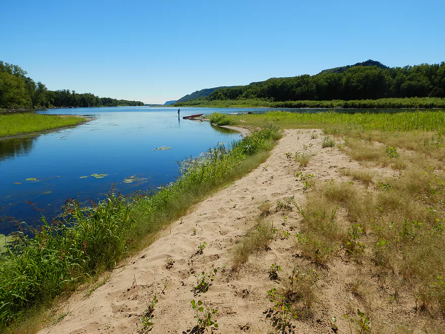
Date Paddled: September 4th, 2022
Distance: 5.0 miles
Time: Expect 3-4 hours
A maze of sloughs close to the mouth of the Black River offers a slow paddle to start, but the second half of the trip was a neat experience with some pleasant surprises.
Read More...Hwy 26 to Wildcat Park
Date Paddled: August 18th, 2024
Distance: 10.8 miles
Time: Expect 4-5 hours (easy to customize)
This was a combination trip on the Root River, Mississippi main channel, and the Goose Island side sloughs. The highlight was Crater Island which is a massive and artificial island with towering sand dunes.
Read More...Goose Island to Goose Island
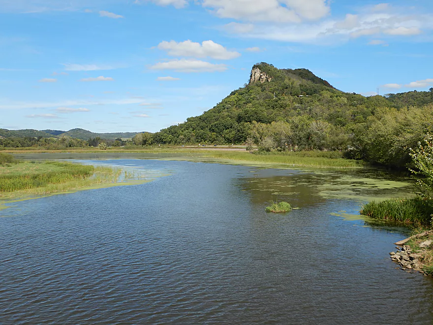
Date Paddled: September 30th, 2017
Distance: 8.0 miles
Time: 3 hours 36 minutes
Located on the Mississippi south of La Crosse, Goose Island is a popular wildlife area. An official canoe trail circumnavigates the island with the highlight being the Mississippi bluffs.
Read More...Yellow River Landing to McGregor Boat Ramp
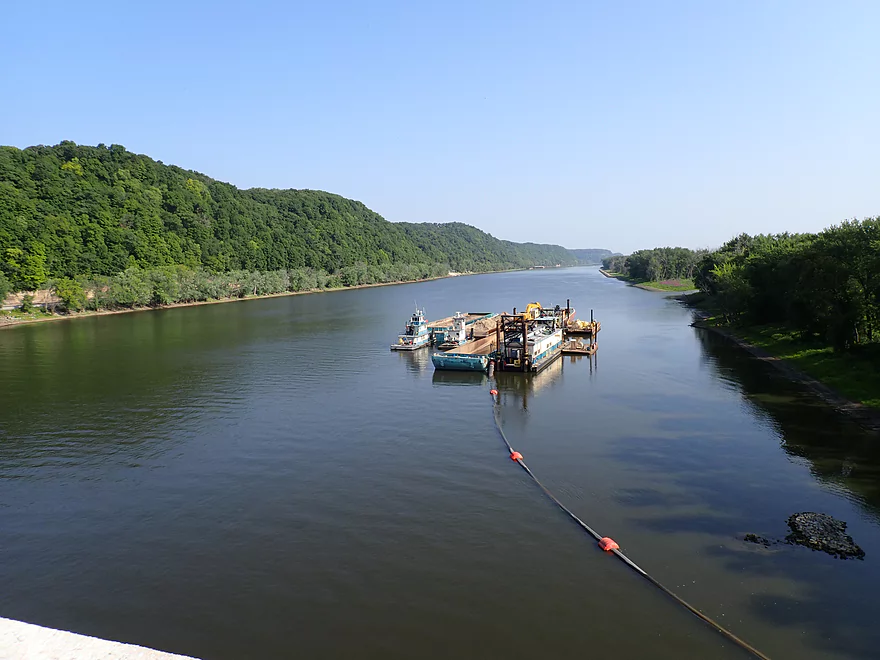
Date Paddled: July 22nd, 2023
Distance: 6.6 miles (3.9 without side trips)
Time: Expect 2-3 hours
This is a scenic stretch of the Mississippi with terrific river bluffs.
Read More...Wyalusing State Park to Wyalusing State Park
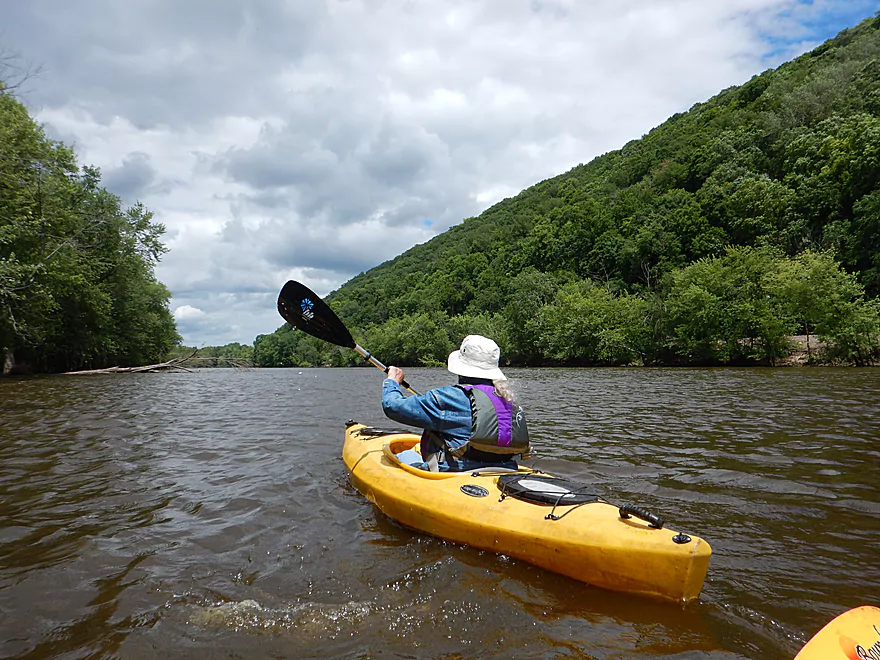
Date Paddled: June 18th, 2017
Distance: 5.0 Miles
Time: 4 hours 21 minutes (2.5 hours would be more typical)
At the junction of Wisconsin's greatest rivers is one of its finest parks. While normally known for its scenic overlooks, a unique way to experience Wyalusing is to paddle its popular water trail.
Read More...Jays Landing to Glen Haven
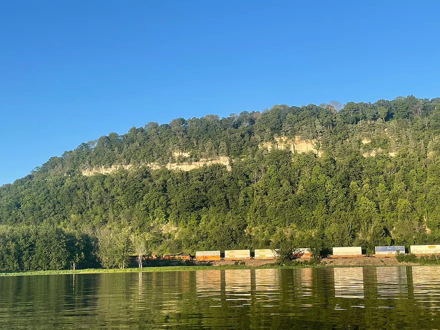
Date Paddled: July 9th, 2022
Distance: 4.6 miles
Time: 3.5 hrs
A guest review for the Mississippi near Glen Haven.
Read More...Lynn Hollow Boat Launch to Lynn Hollow Boat Launch
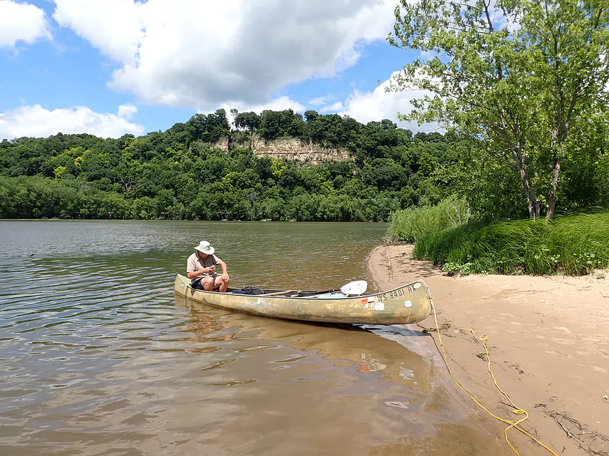
Date Paddled: July 12th, 2020
Distance: 14.5 miles (round trip)
Time: 5 hours 2 minutes (figure 2 mph)
Hidden in the backwaters between Cassville and the Grant River are a series of cool outcrops and sloughs.
Read More...Overview Map
Detailed Overview
The Mississippi is both a blessing and a curse for paddlers. While rich in beauty and majesty, it can be problematic to paddle due to high wind, current, wake, powerboats and barges. The Upper Mississippi is frequently dammed and subdivided into “pools” of which there are roughly 11 in Wisconsin. Generally speaking, just upstream of a dam, the river is the least interesting (few islands, deep, monotonous, few sloughs, and a wide channel). But on the downstream side of pools there are often many sheltered islands and sloughs that offer unique paddling experiences.
For a list of Mississippi water trails see my overview map or use the bullet list below (ordered north to south). Thanks to the US Fish and Wildlife Service for many of these suggestions. Check out their website for more details. Water trails are listed in order from north to south.
—
Chippewa River Trail: 6.8 miles. Chippewa River Landing to Tim’s Slough Landing. Basically the last part of the Chippewa River that connects with a slough on the Mississippi. Avoid in high water.
Nelson-Trevino Trail: 4.5 miles. South of the Chippewa River, Hwy 25 cuts across the river through a slough and over a grade. Many landings to pick from. Most paddlers venture south and then back north to one of the landings. The main water trail is roughly the biggest loop you can take south of Hwy 25 while remaining in the slough. Avoid in high water and high wind.
Finger Lakes Trail: 6.1 miles. North of the Zumbro River mouth, there is a sheltered collection of sloughs and lakes you can paddle. The main water trail skirts the south edge. In low water, some portages may be required. For a launch/take-out, use Pioneer Landing in Minnesota.
Halfmoon Trail: 5.1 miles. Mixture of paddling on open sloughs, narrow sloughs and on the main channel. Use Halfmoon Landing for an access. Difficult in high water and when vegetation is out in late summer.
Verchota Trail: 11.3 miles. A long upstream paddle up the main slough then you double back mostly on the same trail. Use Verchota Landing for an access. Difficult because of its long length and upstream paddling.
Aghaming Trail: 6.7 miles. Start at the park in the main channel and float downstream until you find a gap in the slough which you can paddle upstream to explore. Turn back when done. Access at Latsch Island Park and Landing. Some upstream paddling in the main channel. Not usable in high water.
Voyageurs Canoe Trail/Perrot State Park: 6.5 miles. Your best bet is to do a one-way trip from Hwy 35 to S. Park Road. Very scenic. Completely sheltered from the main channel and is technically the Trempealeau River.
Long Lake Trail: 5 miles. A counter-clockwise circle through mostly backwater sloughs. Long Lake is mediocre and French Lake is boring and weedy. But the main channel is nice with good sandbars and bluff vistas. When in season, Big Marsh can contain scenic wild rice corridors.
Brown’s Marsh Canoe Area: More of a lake paddle and a way to experience Brown’s Marsh. Access at Lytle's Road.
Lake Onalaska Trail: Technically the last few miles on the Black River. Been on my to-do list for a while… Lytle's Road to Fred Funk Landing is 4 miles, while Lytle's to Mosey Landing is 8 miles.
Root River to Crater Island: This is mostly attractive slough paddling inside the vast Goose Island archipelago. It does include a bonus stretch on the fast Root River and some main channel paddling by Brownsville. The highlight is "Crater Island," a large man-made sand island.
Goose Island Trail: 8 miles. A nice paddle around Goose Island. Mostly simple sloughs but there are nice bluff views .
Reno Bottoms Trail: 3-14 miles. Put in on the Minnesota side and float down a long slough. Many intermediate take-out options. Access at Reno/Hwy 26 and New Albin. Some of the launches can be under water during high depths.
Blue Heron Trail: 3-7 miles. This cuts across the Upper Iowa River mouth. I don’t know much more. Access points are at New Albin and Blackhawk Park.
Ambro Slough: 8 miles. Very similar configuration to Wyalusing. You can paddle up the slough then downstream on the main channel if you wish. The upstream slough by Harper’s Ferry also looks interesting. Access is at North Ambro Road. 8.2 miles if you do a full loop on the main channel.
Yellow River to McGregor: ~4 miles. A scenic stretch featuring impressive river bluffs and a large arched bridge.
Wyalusing: 5 miles. A marked trail starts at the lower Wyalusing State Park landing, then weaves through bottomland before heading back to the landing. One of the neater areas on the Mississippi.
Johnson Slough: 6.2 miles. Just downstream of Wyalusing on the Iowa side is another nice slough to explore. Most launch at the landing, cut north through the slough and float back on the main channel. Some current to paddle against.
Jay's Landing to West Haven: 4.6 miles. This is a nice leg with many islands that protect paddlers from the main channel. Highlights include scenic bluffs.
Cassville Bluffs/McCartney Lake: 4.17 miles. There is a protected series of sloughs and islands on the Wisconsin side that features many scenic bluffs and outcrops.
Dubuque Water Trail: 9 miles. Start south of the dam by A.Y. McDonald Park. Float down the western shore by urban Dubuque, past the Mines of Spain to Massey Station Road. Easy to subdivide or to do round trip loops. For further information see the official webpage for the trail.
