
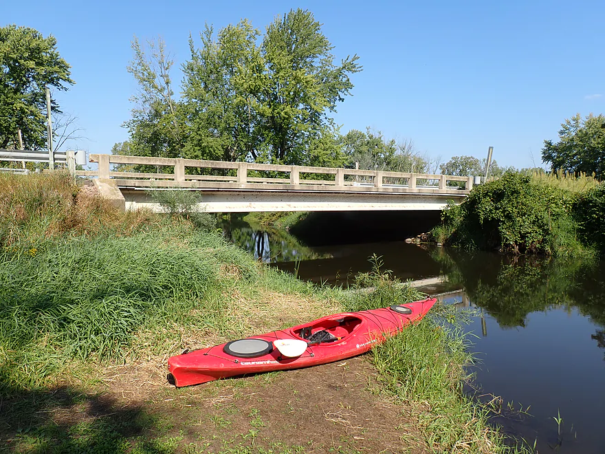
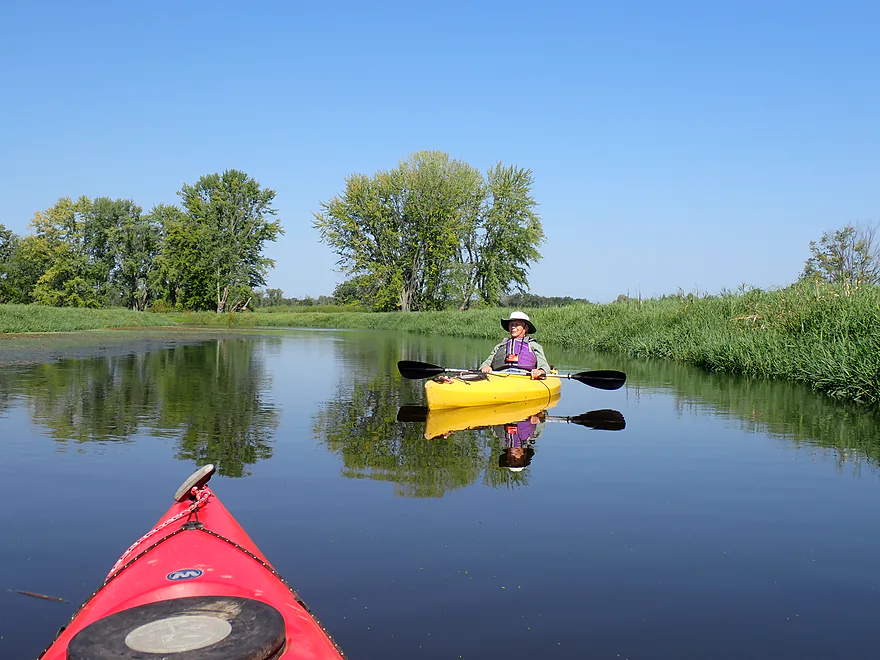
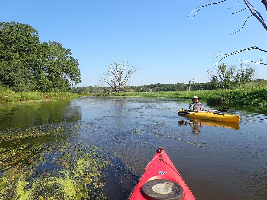
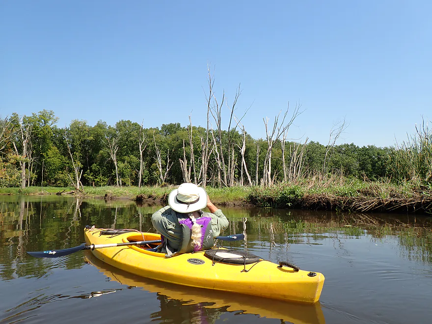
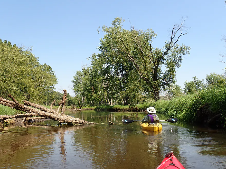
Starting at Hwy CX
Bit muddy, but a good access
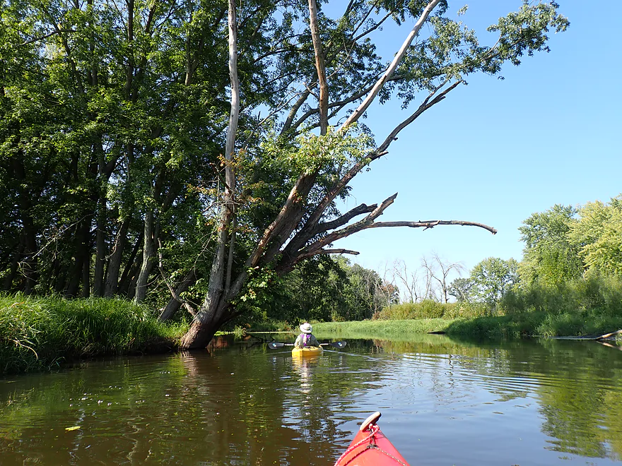
Busy (and loud) I-39 can be seen in the distance
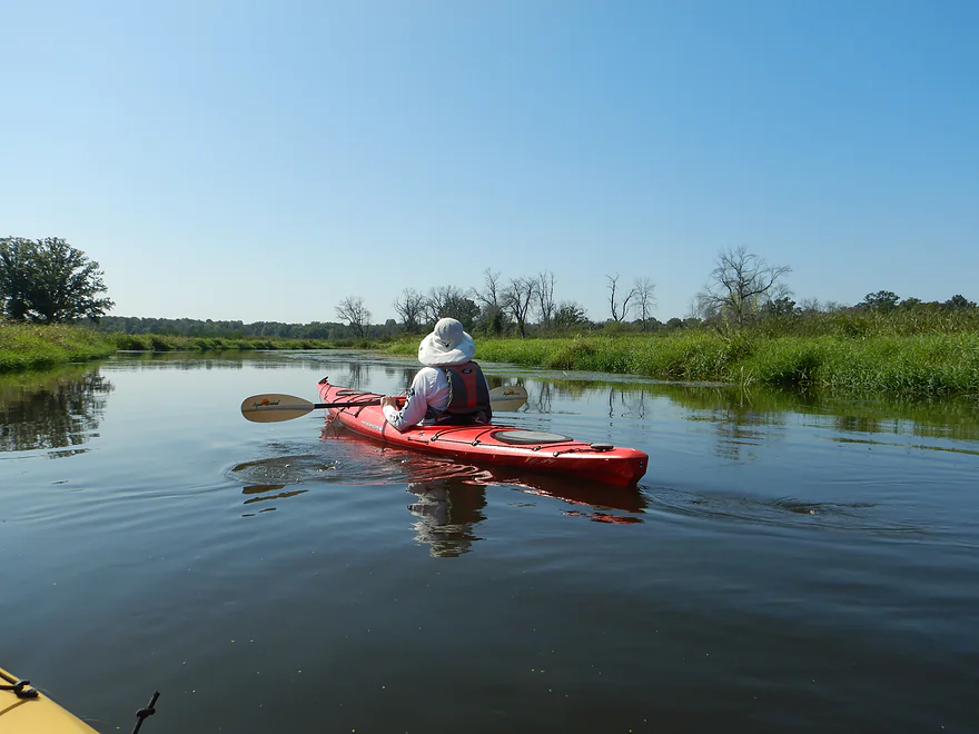
Slow current…basically a small, lazy river
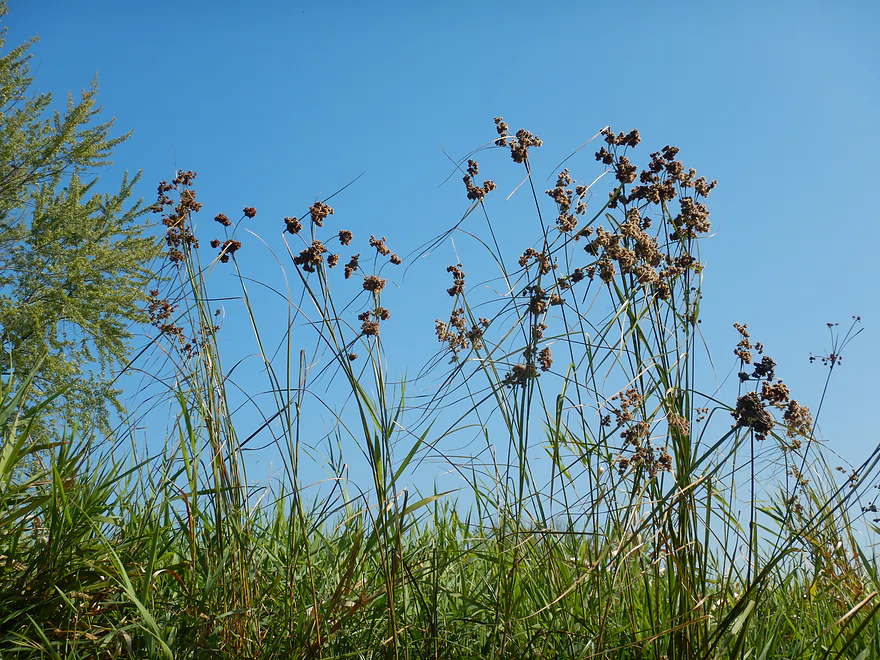
Bulrushes
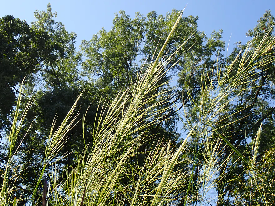
Lots of invasive grasses growing on the banks
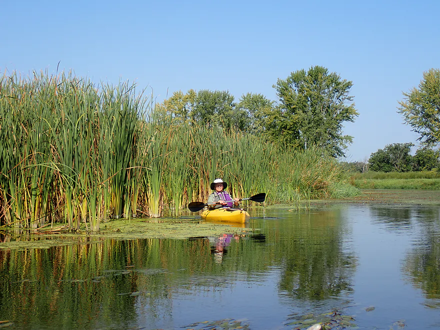
Cattails mark the start of the marsh section
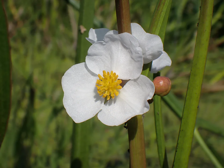
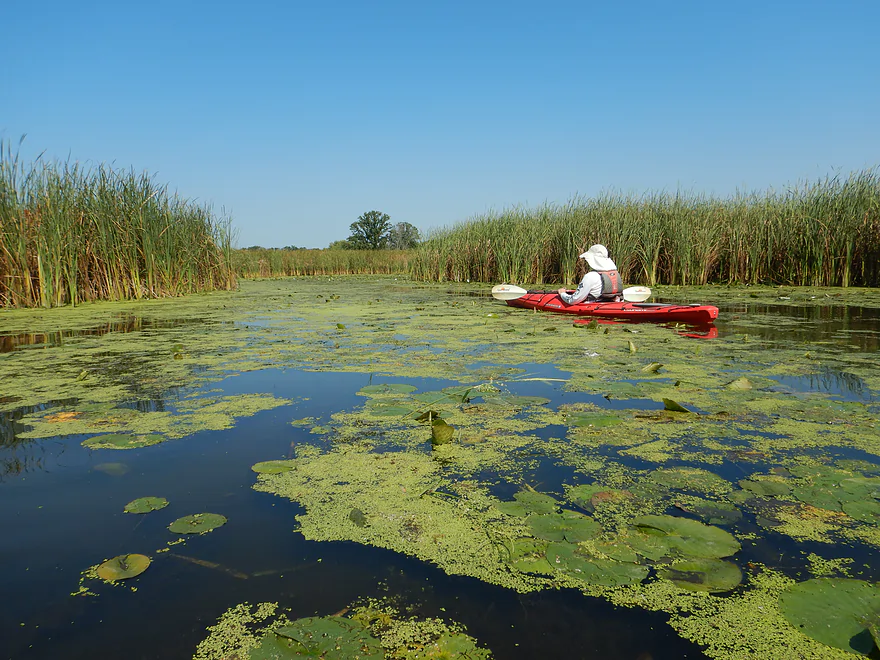
Arrowhead flowers
Wild rice
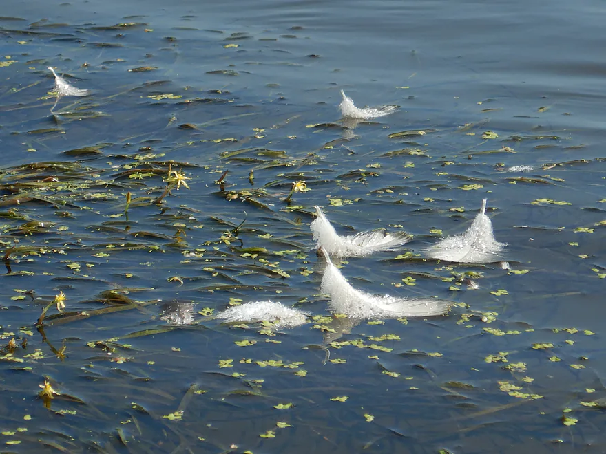
Lot of birds were multing
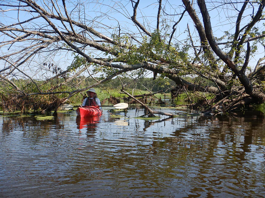
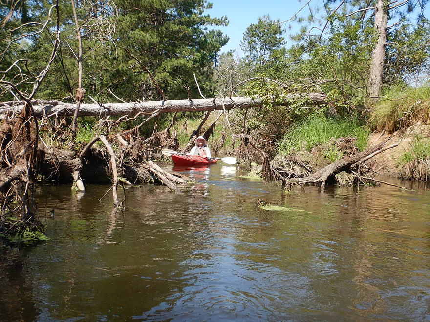
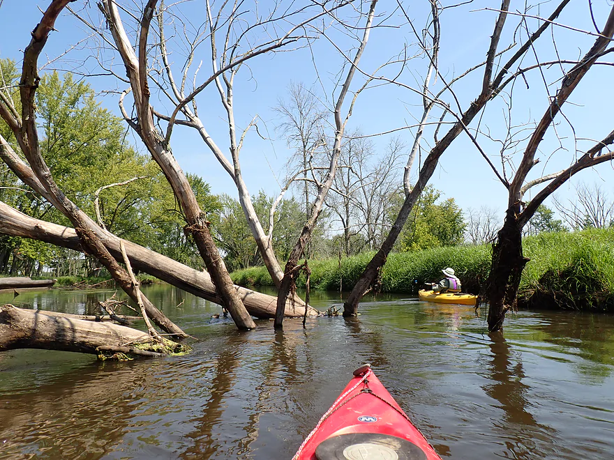
Some downed trees but always a way through
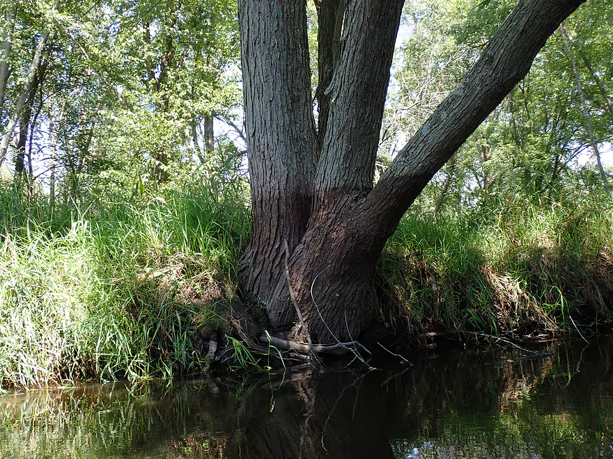
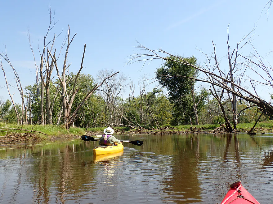
Most of the trees were “weed trees”, but some were nice, like this oak
Checking out a marshy side slough
Pulley on a tree…not sure what that is for
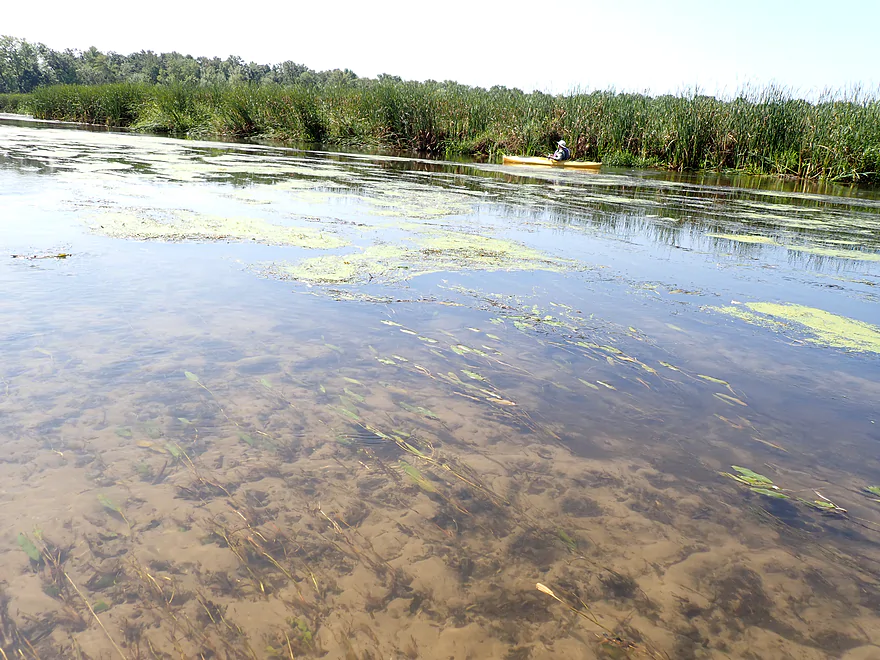
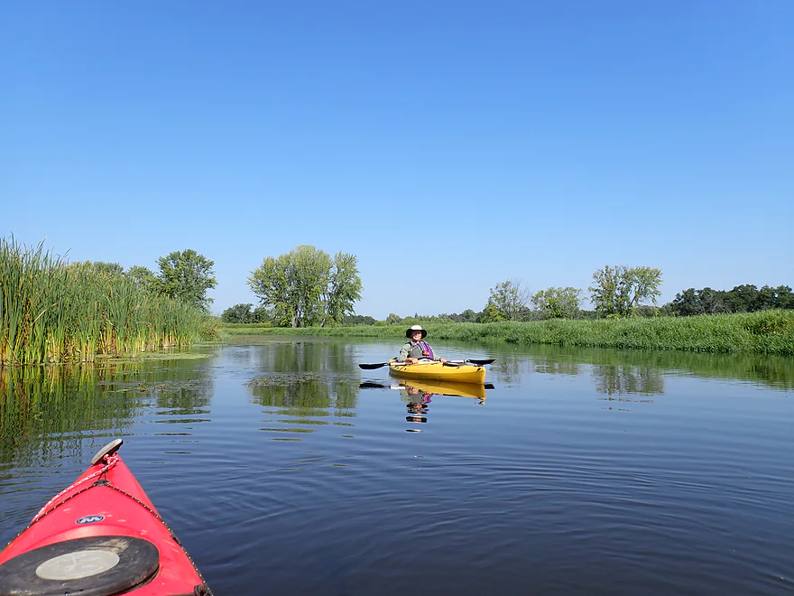
At times good clarity
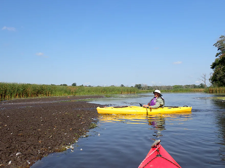
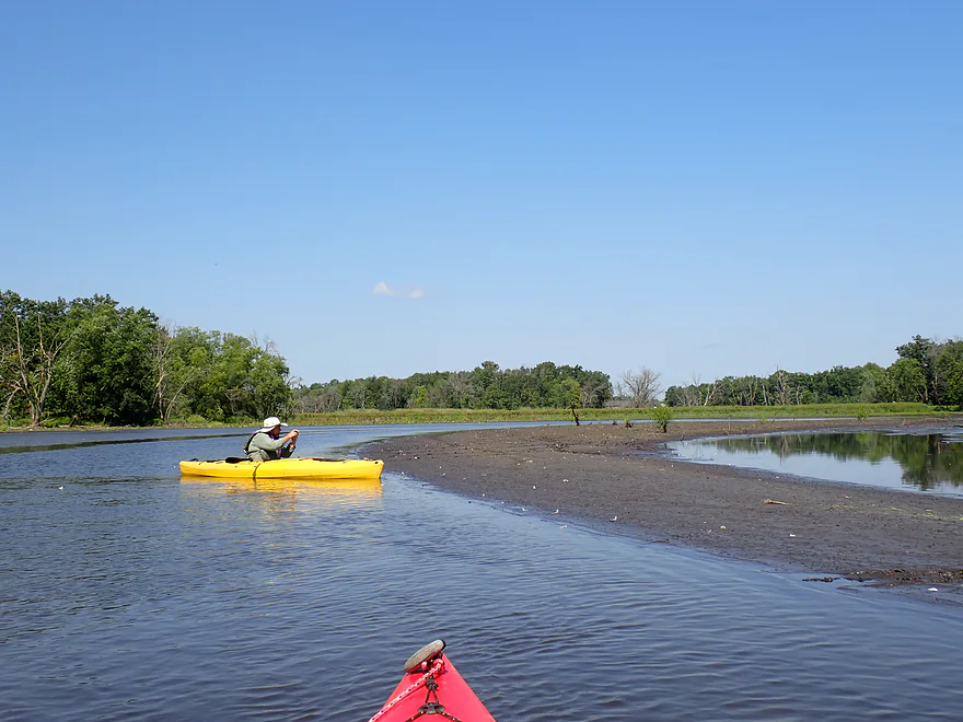
One of several large mud flats which the birds liked
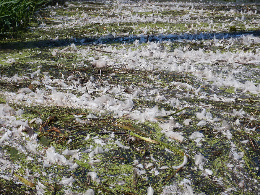
You could make a pillow out of all this
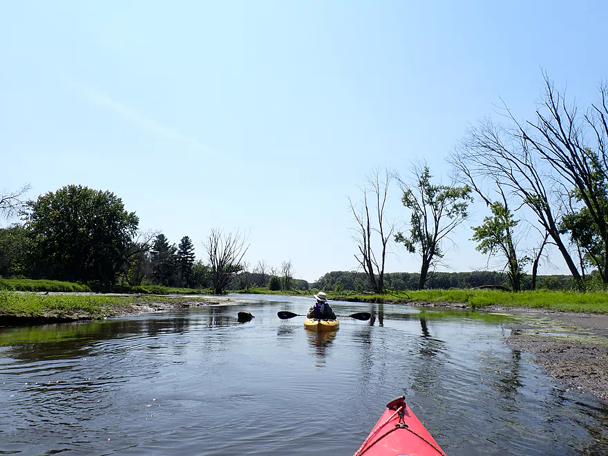
Some nice exposed banks with a mix of clay and sand
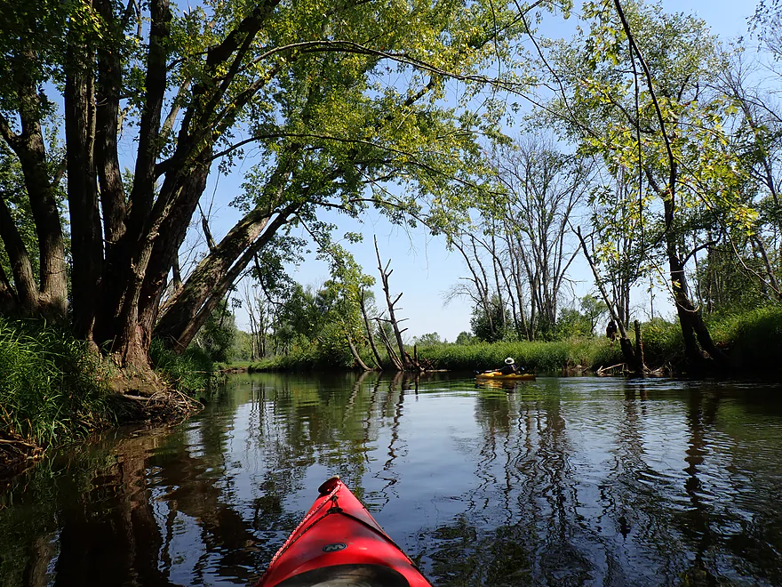
The water here was much clearer than at the beginning of our trip
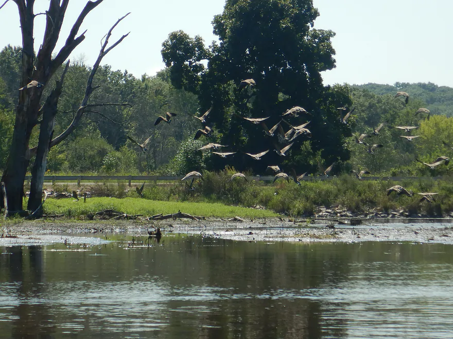
One of several large geese flocks
Very curved mudbar
River turns sharply northeast at this point
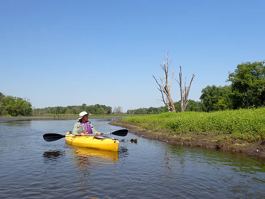
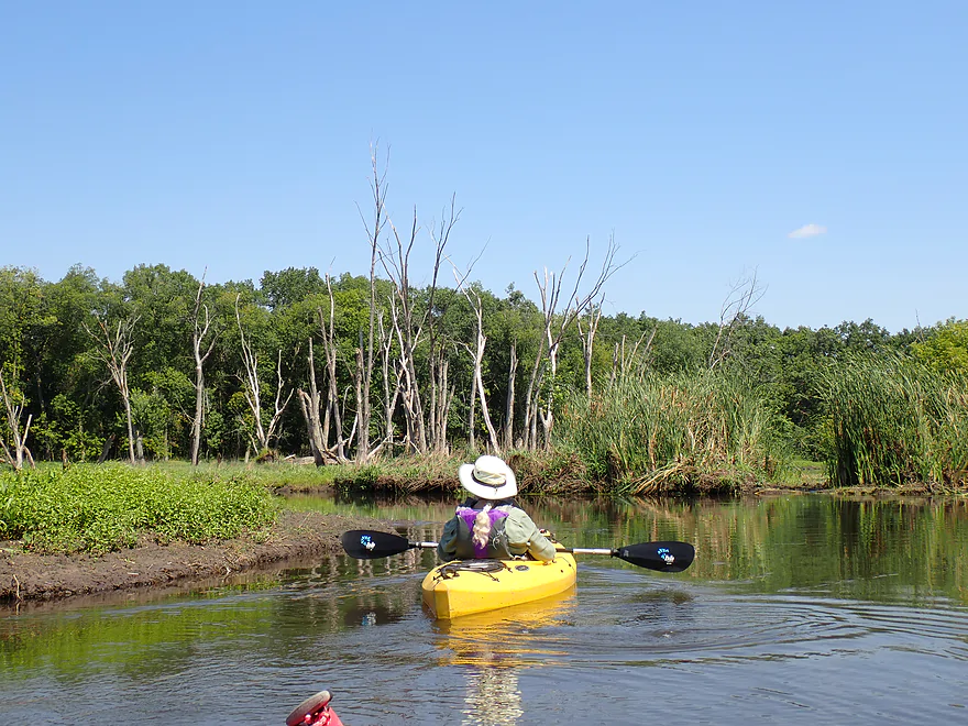
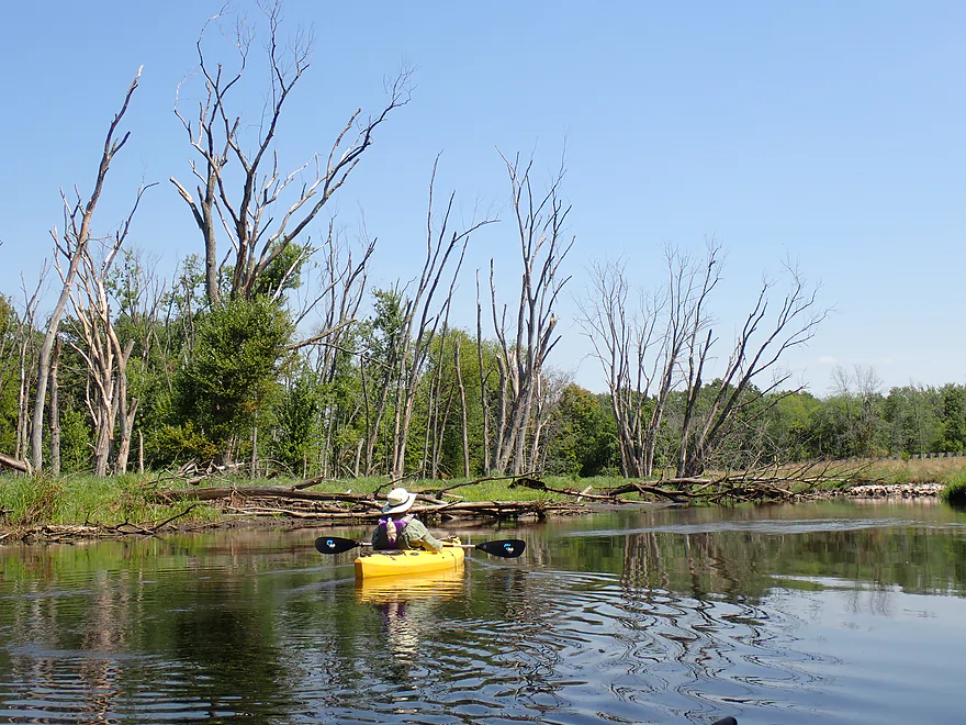
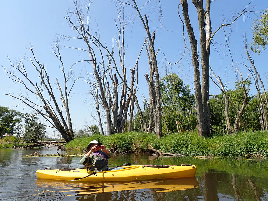
Lots of dead trees
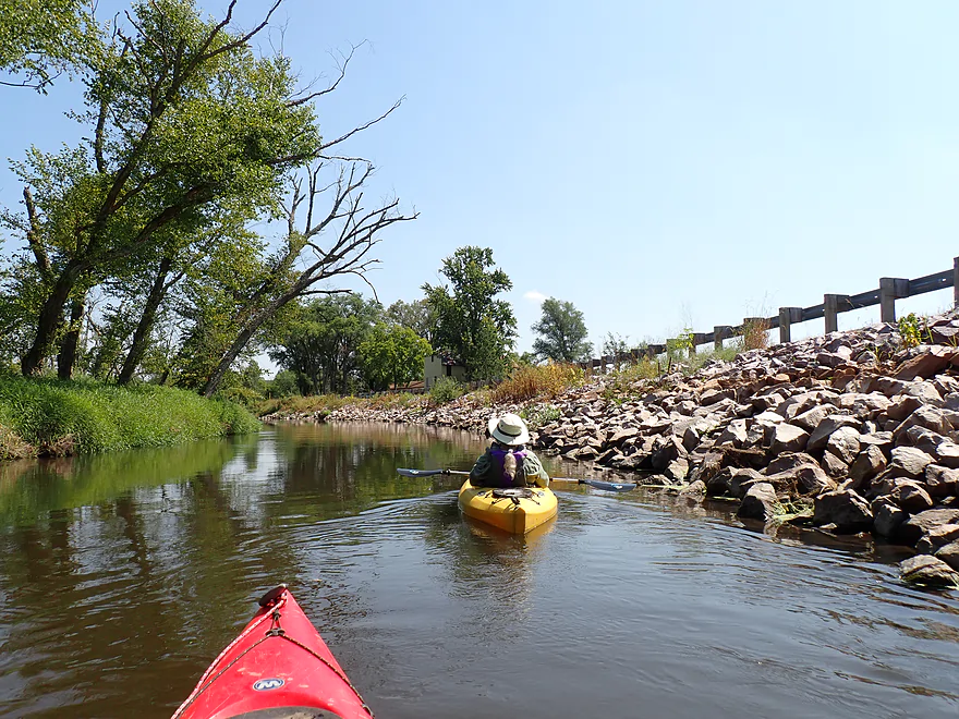
Creek flows next to Hwy CM for a while–that house is the tiny town of Anacker
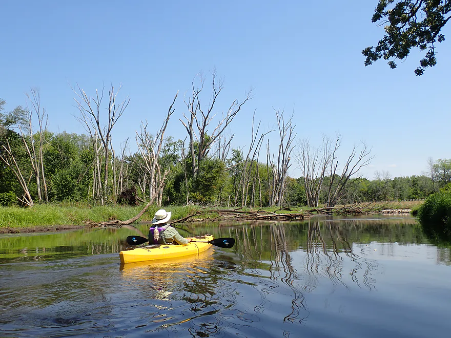
Another tree graveyard
These might have been killed by floods
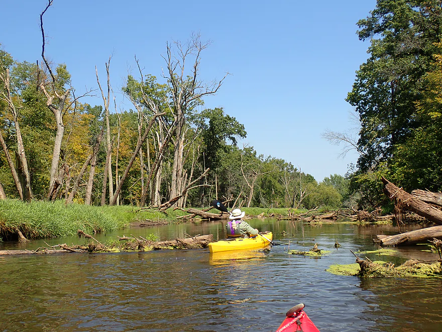
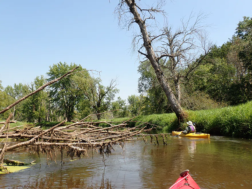
Some debris in the channel, but always a way around
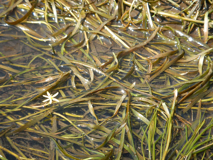
A mat of water stargrass
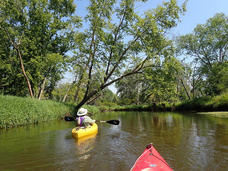
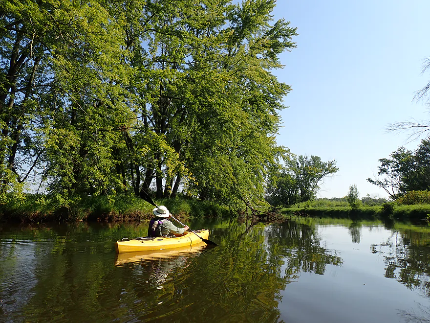
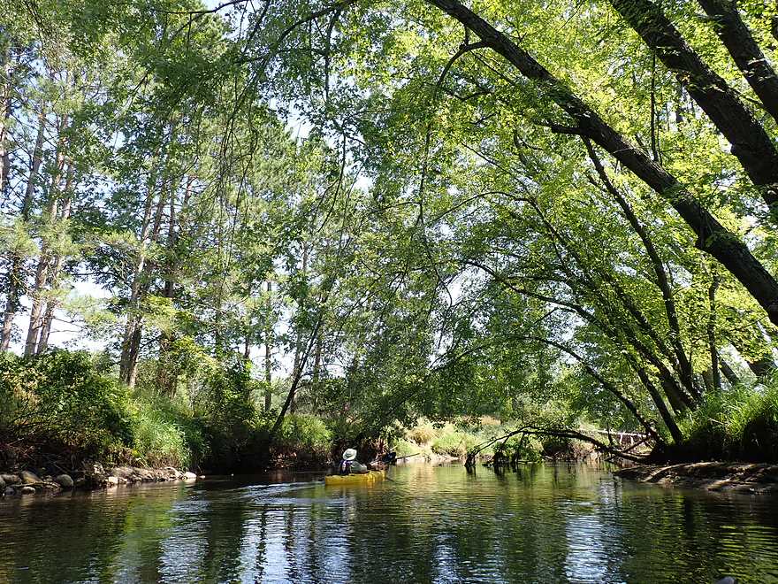
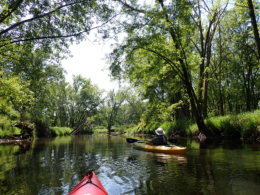
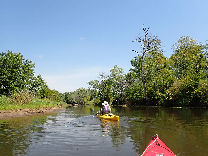
Creek becomes more wooded
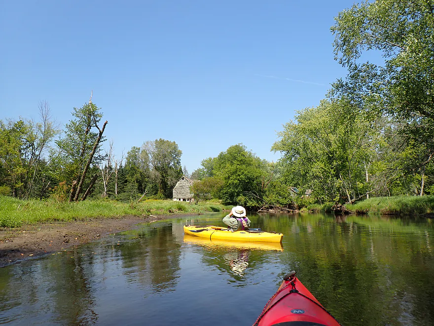
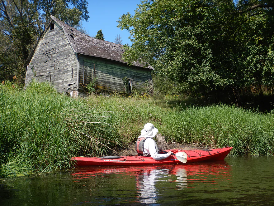
A rustic barn
The river makes a sharp turn southeast
Some trees had to be ducked under
Hwy CM…this is an access option
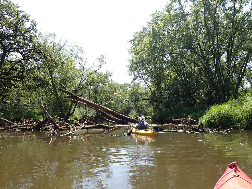
Only significant logjam of the trip…wasn’t difficult to get past though
Check out that high water mark
Nice stretch
Some of the dead trees were kind of artsy
Mouth of Neenah Creek on the Fox River
Now heading north on the Fox
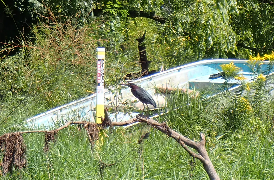
One of several green herons we saw on the Fox
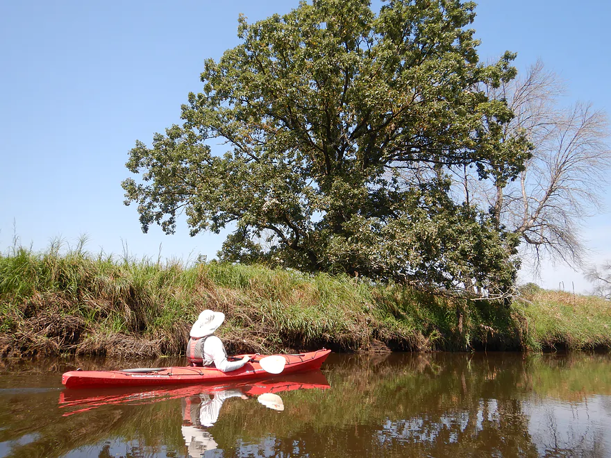
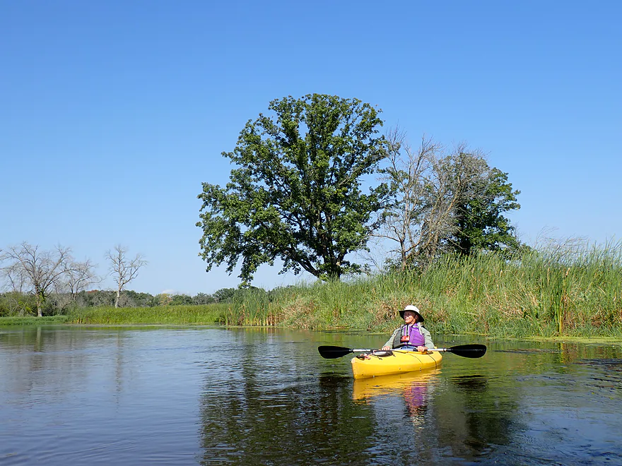
Fantastic oak
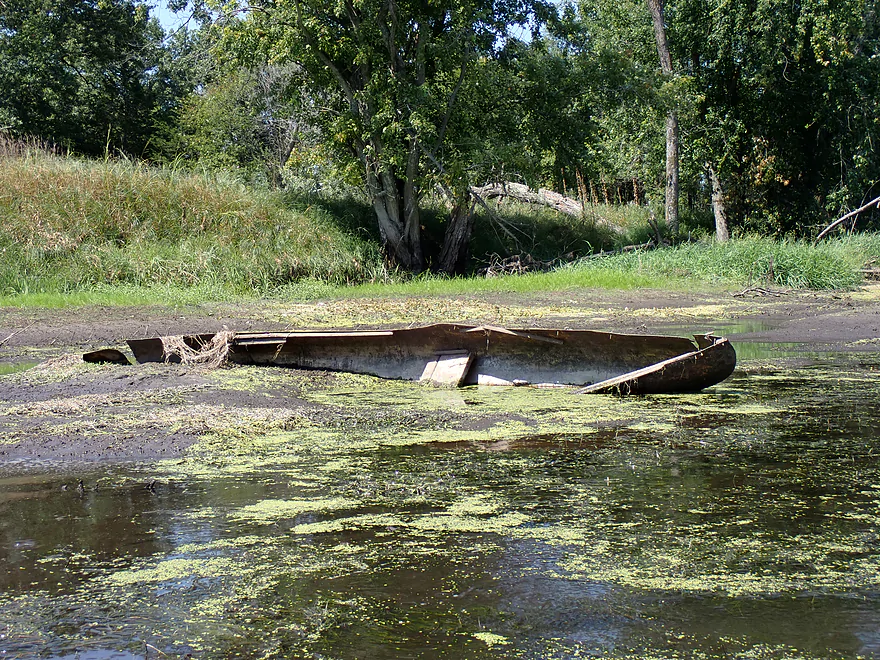
Somebody missing a canoe?
Hwy CM
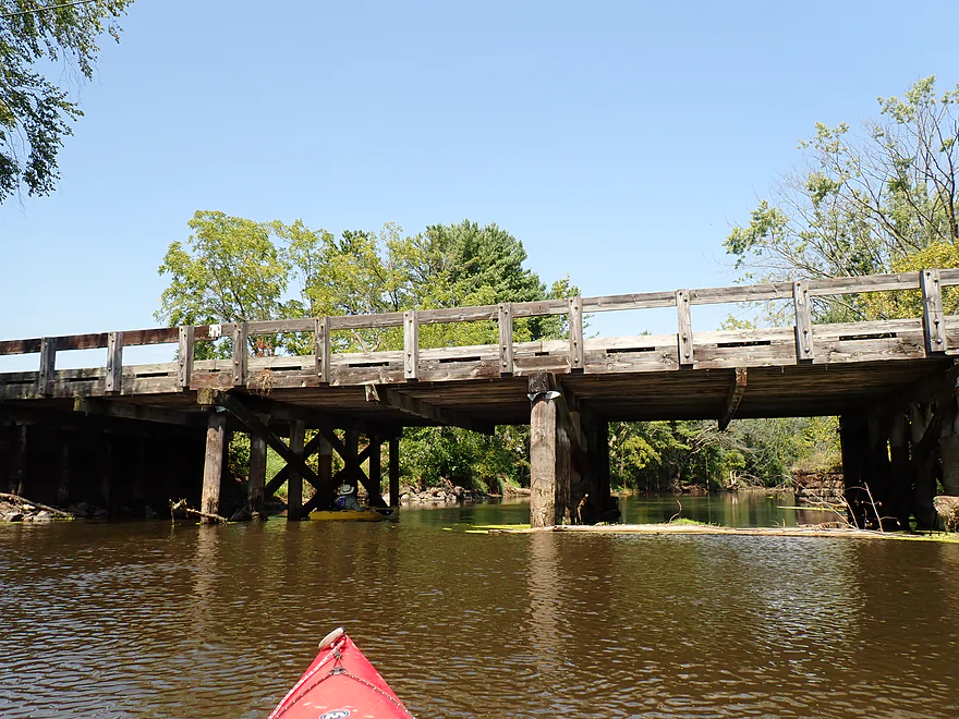
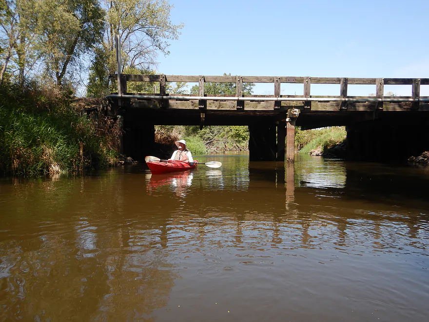
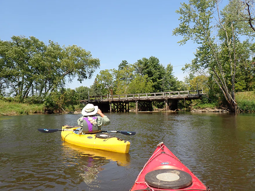
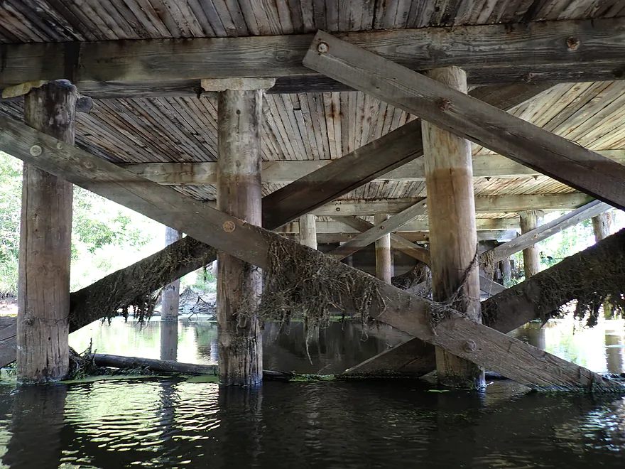
Scenic wooden bridge
DOT is likely anxious to replace this with an ugly cement slab bridge
A historic turret…likely for a swing bridge to let tall boats through
Taking out on the southwest corner…kind of steep
Local said southeast corner would have been better…he was right
View upstream from bridge
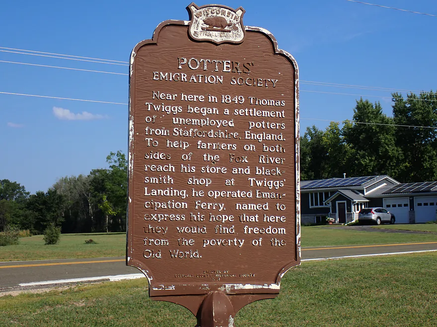
Historical marker by the bridge
Neenah Creek – Hwy CX

Neenah is an underrated paddling creek located just north of Portage. It’s slow, but peaceful, clean, relatively secluded, and typically has good wildlife. For this week, I did the last section which was the only leg I hadn’t yet reviewed.
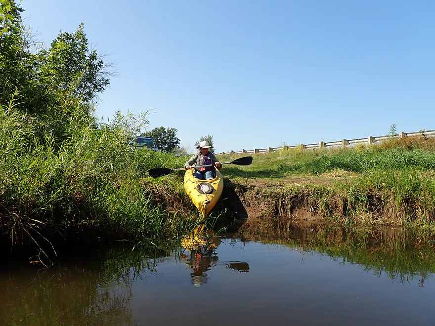
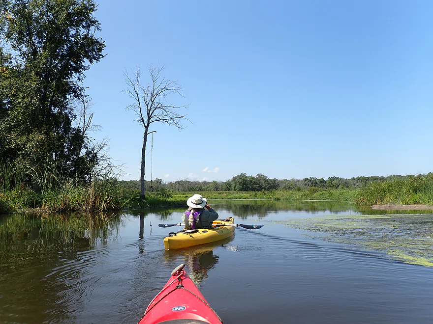
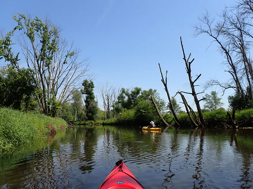
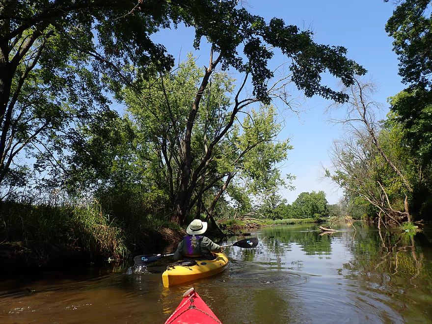
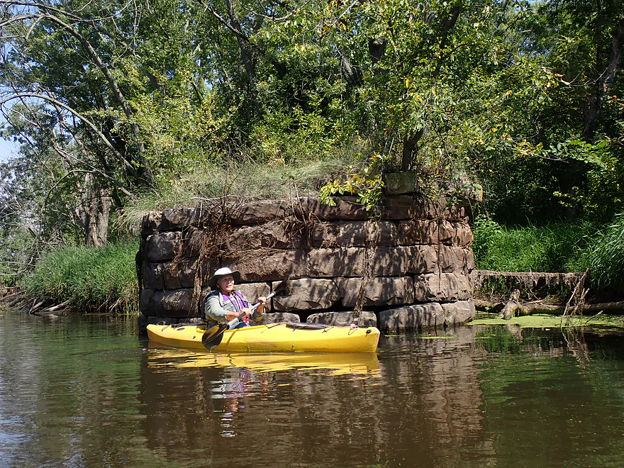
We launched at the CX landing, which was a good access (aside from a bit of mud and being backdropped by nearby busy I-39). The first half mile of the trip was meh. I-39’s car noise was annoying, the current was incredibly slow, and there was some mud. Invasive reed canary grass was a common site on the lowland banks, which were also topped with a smattering of “weed trees”.
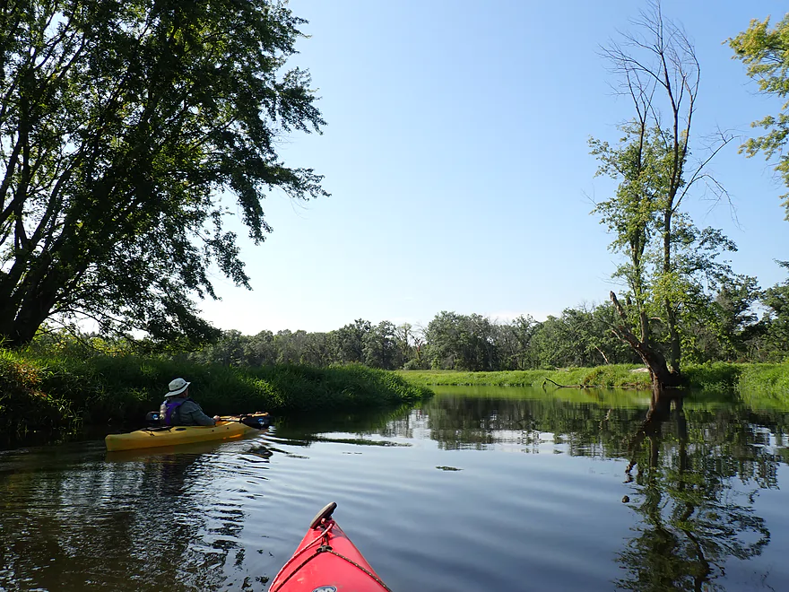
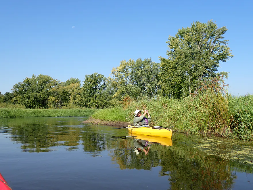
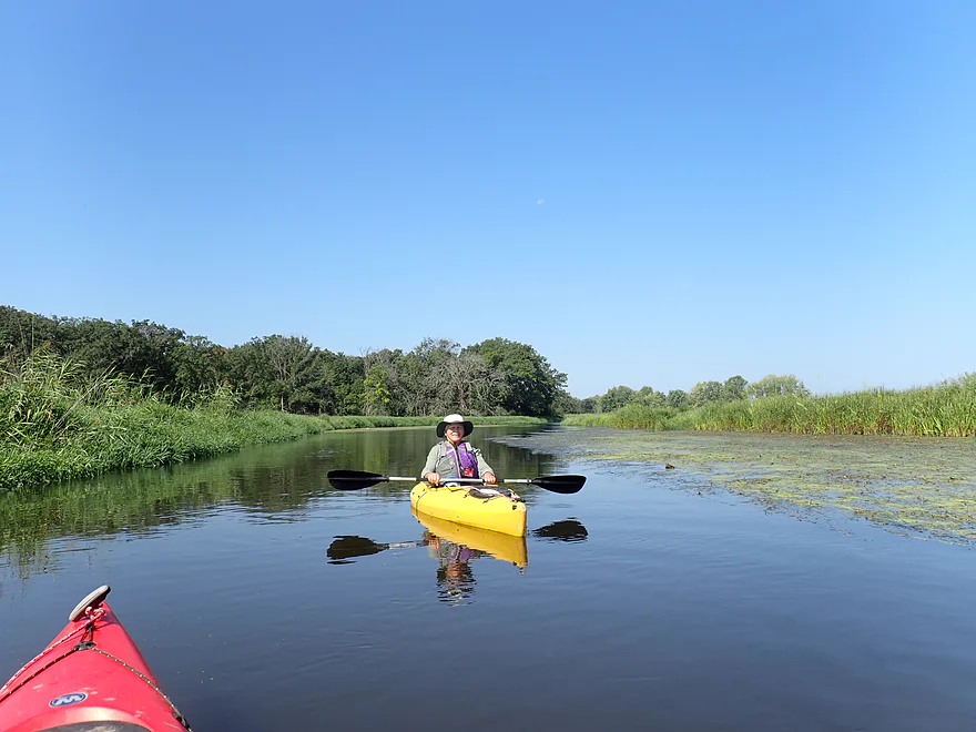
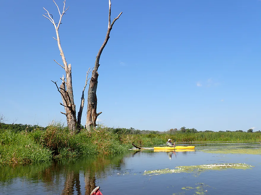
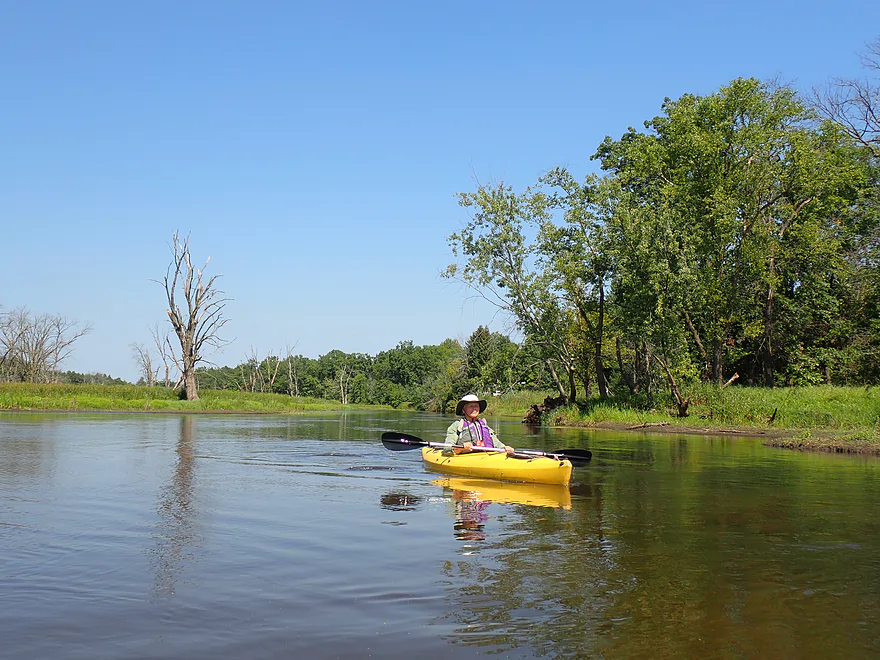
The next mile though was much nicer as the creek flowed through a large wetland area with many bays and pockets. The marsh plants were attractive and included wild rice, arrowheads, water lilies, and cattails. Waterfowl was common (especially geese) which hung out in large flocks on the exposed mud flats. In fact I would consider Neenah Creek one of the premier waterfowl paddles in the state…especially in the fall when the entire region explodes with life.
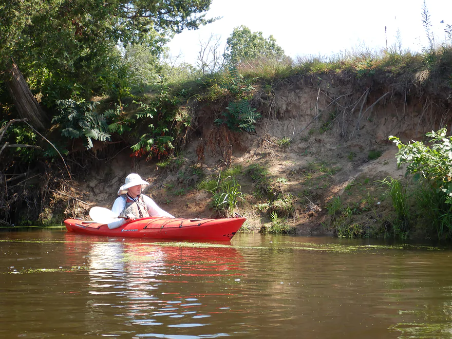
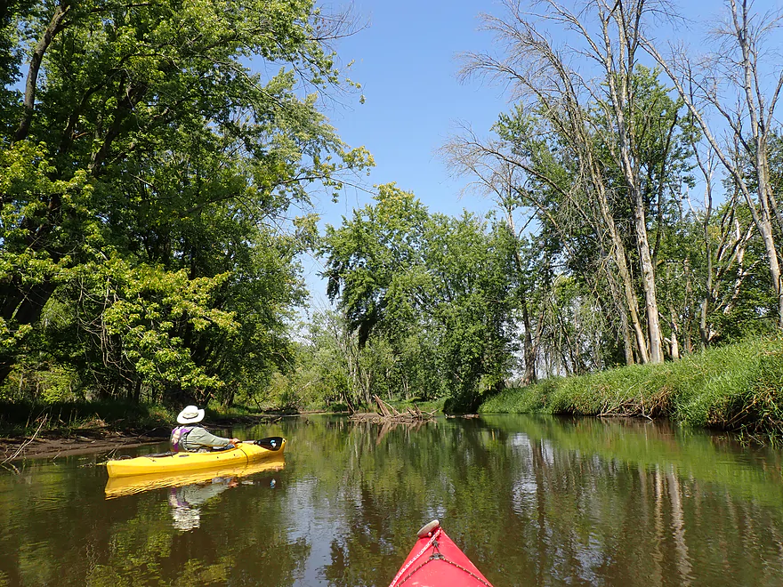
Water quality improved and we started to see a few runty sandbars, small sand banks, and even some clay banks. The clay was high quality and seemed like the type you could make clay pots out of. We would later see a historical marker for the “Potters Emigration Society” which may not have been a coincidence.
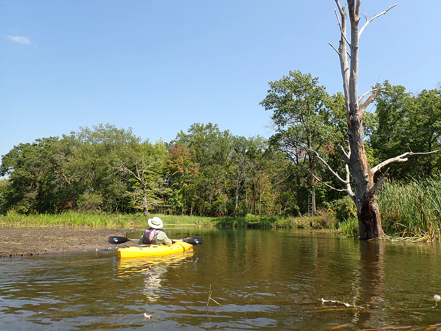
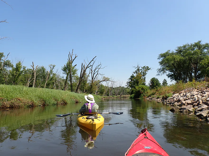
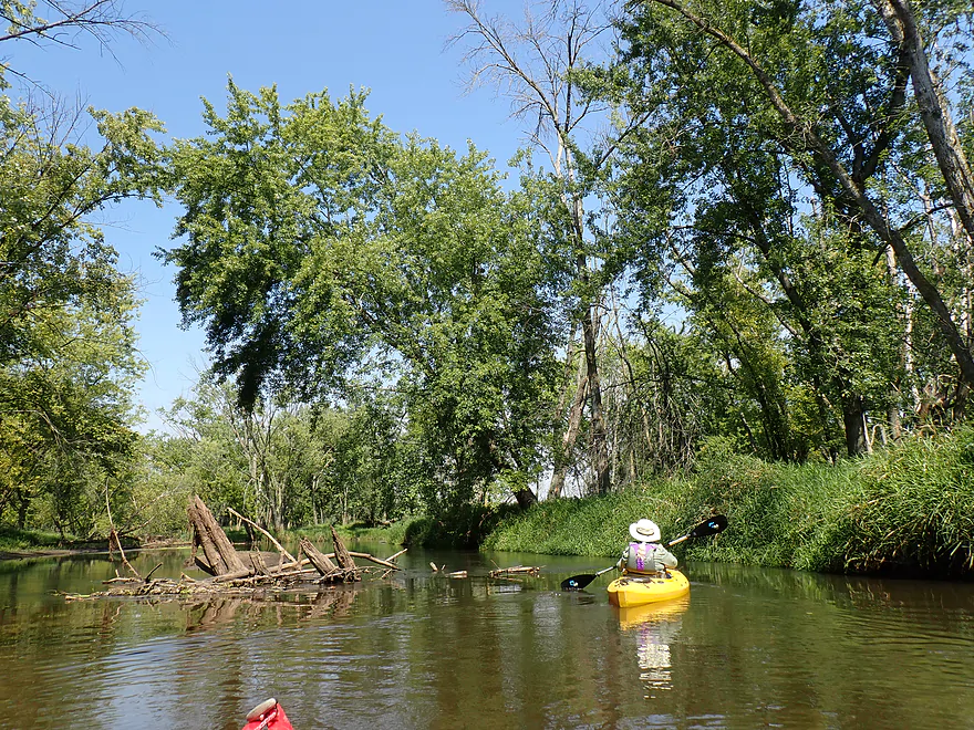
About halfway into the trip, Neenah Creek changed direction, heading east and then northeast right next to Hwy CM. Hereafter the stream transformed and took on a completely different character. The current picked up speed (although still slow), the channel narrowed, and marsh was replaced with woods. Many of the adjacent trees were dead, which was both eerie yet beautiful as the dead trunks were rather artistic.
I’m not sure why so many trees have died…some were ash, so perhaps the emerald ash borer may be to blame. Flooding though is likely a bigger culprit…water levels on Neenah Creek are much higher than they were a decade ago and major floods have been an issue. Some of the dead trees ended up in the channel, but there was always a way around and we never had to portage.
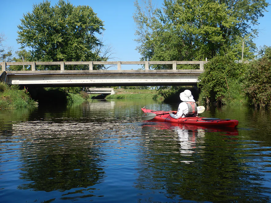
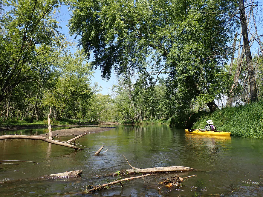
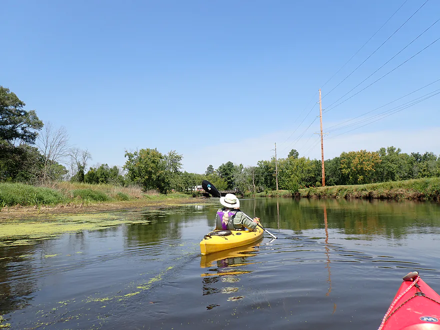
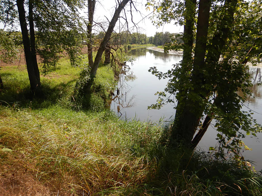
Past Hwy CM, where there was a rustic wooden bridge, the creek changed direction again and turned into a bottomland paddle as it approached the Fox River. It was still attractive though. At roughly the 5-mile mark, we reached the Fox. In many ways it’s just a slightly larger version of Neenah Creek, but perhaps not as nice.
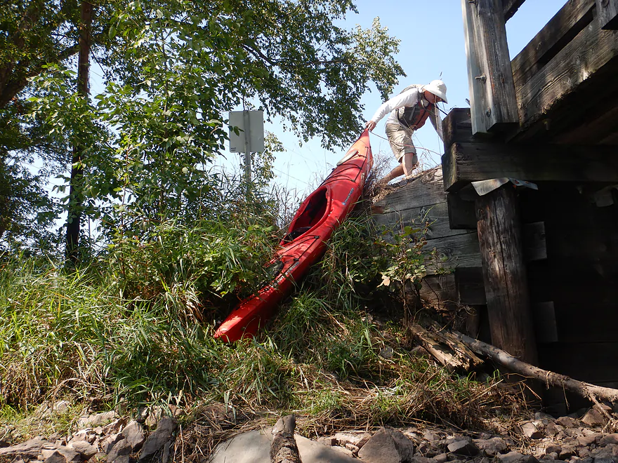
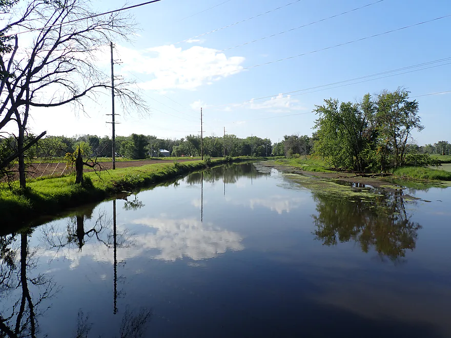
The Upper Fox is slow, a bit weedy, and has a few random houses scattered on the banks…but is an ok paddle . It’s one of the few rivers in the state that flows north, which is really nice for lighting. We ended the trip at the CM bridge, which had another fantastic rustic wood bridge. There was no landing here, so we just pulled up a steep bank on the southwest corner. A local slowed down and advised us the southwest corner was an easier access. He was right…live and learn.
In summary this was a nice trip…in fact better than expected. It doesn’t have anything exotic like rapids, boulders, cliffs, or even decent current. But it has subtle wetland beauty, you likely won’t see anybody else on the water, and it is a fantastic mecca for waterfowl. It’s not a trip you should drive halfway across the state to do, but it is worth putting on your todo list if, say, you live within an hour.
Sights included a couple of egrets, 8-10 cranes, wood ducks,, mallards, 7-9 blue herons, 5-6 green herons, one immature redtail, a couple of adult bald eagles, kingfishers, killdeer, shorebirds, one pileated, several red-headed woodpeckers, a flicker, a kestrel, one woodchuck, and one roadkilled bat.
The highlight were the huge flocks of geese. They tended to hang out on the mud flats and in absurd numbers (maybe 100+). Many of the geese and ducks were molting, and feathers and down were everywhere–like someone had dumped out a giant feather pillow . Neenah Creek (and the Upper Fox) are fantastic birding areas…perhaps the best waterfowl paddles in the state, especially in the fall.
Hwy CX: There is a public canoe/kayak access along the southeast corner of the bridge. This is a good access, but note that the river is a bit deep and muddy by the launch. It can help to do an otter launch.
Alternate Put-ins:
- Muskrat Road (5.2 miles upstream from CX): There is a great shoulder access northwest of the bridge. This bonus leg features a wide and slow channel with a lot of marsh paddling, but is attractive and waterfowl will be a common sight.
Hwy CM: We took out along the southwest corner, which was a bit tricky because of the steep bank. A local pulled over and told us his family used the southeast corner instead which was much easier. We checked this out and he was right. It’s a bit weedy, but it’s definitely less steep and the shoulder parking nearby should be adequate.
Alternate Put-ins:
- Hwy CM (1.2 miles upstream from CM): This would likely be a decent bridge access with a public pull-off on the north/upstream side. Don’t block the private drive to the south. I’m not sure many paddlers will take out here…you’re almost to the Fox, so why not keep paddling?
- Hwy O (3.8 miles downstream from CM): Hwy O has a great public landing…much nicer than CM. This bonus leg would be a solid but not spectacular stretch on the Fox River.
Bike Shuttle – Hwy CM to Hwy CX: 3.3 miles with 82′ of ascent. This would be an easy shuttle. Note…Google will want you to take Dixon Road west…don’t…it’s gravel. Instead stick to Hwy T and Grouse Drive.
Rapids/Current: There are no rapids and the current is very slow.
Wind: This is an open water paddle, so strong headwinds can be an issue. Keep an eye on the forecast.
Logjams: There are several downed trees in the water (most are close to the Hwy CM bridge). Navigating around these wasn’t difficult and we never once had to portage. But be mindful that conditions can change…in lower water, some snags might have to be portaged. Also, new windstorms could topple one of the many dead trees into the water creating unexpected logjams. But, as of Aug 2024, it’s open…unless you’re in a really long sea kayak or large canoe.
Gauge: Fox River @ Pardeeville
Trip Depth: 8.25′
Navigability Estimates: The Fox River gauge is a poor analog and my previous estimations of Neenah Creek depth using it have proved way off. That being said there really aren’t many alternative gauges to choose from. Take the following estimates with a grain of salt.
- 7.0-7.5′: This used to be a historical low. But the upper Fox watershed now gets a lot more water and I doubt you’ll see these levels again unless during a major drought. This should be navigable outside of a few shallow spots by Anacker. Some deadfall may have to be portaged due to low water.
- 7.6-8.0′: This used to be an average flow rate, but now would be considered low. Either way it’s a good depth for paddling.
- 8.1-8.3′: Average depth for paddling. Good range.
- 8.4′-8.5′: Banks might be on the verge of bursting with minor flooding. Likely still viable for paddling.
- 8.6’+: Flood stage…should be ok for paddling, just a different experience.
Detailed Overview
Main Branch: Click here to see an overview map.
- Upstream of Peppermill Creek: I suspect the creek is too congested to run
- 1st Lane (Peppermill Creek) to 1st Court: 1.1 miles. First half is a nice, clear, and open stream but there is congestion after that.
- 1st Court to Seeley Lake Access: 2.8 miles. Amazing clarity, nice riffles and steep hills…but serious logjams issues. Been on my to-do list for a while…
- Seeley Lake Access to West Chauncey Street: 0.6 miles. Mostly pleasant lake paddling with a dam to portage.
- West Chauncey Street to Hwy A: 6.8 miles.
- West Chauncey Street to Fox Road: 1.9 miles. My favorite section with incredible clarity. This stretch is more wooded and hillier than other legs. Logjams can be an issue. Cleanup work has been done, but 2-3 logjams may remain.
- Fox Road to Hwy A: 4.4 miles. Attractive leg with good clarity. Starts wooded, but quickly transforms into an open wetland paddle with many tight turns. There could 1-2 logjams.
- Hwy A to Hwy P: 4.1 miles. My second favorite section. Very nice wetgrass paddle with great clarity and no logjams...best saved for a sunny day.
- Hwy P to Grouse Drive: 6.4 miles.
- Hwy P to Hwy 23: 3.9 miles. A pleasant stretch that starts nice with clear, sandy seeps but becomes less interesting when it flows though the marsh.
- Hwy 23 to Grouse Drive: 2.5 miles. A mediocre stretch...less marshy than before, but still very open.
- Grouse Drive to Muskrat Road: 3.1 miles. Creek slows down and widens significantly.
- Muskrat Road to Hwy CX: 4.6 miles. A big, open, and wide wetgrass paddle...at times pleasant with good water fowl, this is likely my least favorite section.
- Hwy CX to Hwy CM (on Fox): 5.8 miles.
- Hwy CX to Dixon Road: 4.1 miles. This is more varied, narrower, and nicer than the preceding leg. It's mostly open marsh paddling but is attractive with a lot of waterfowl. At the end there is a stretch with a lot of dead trees. Sounds worse then it was...the trees skeletons were attractive and we never had to portage (as of 2024).
- Dixon Road to Mouth on Fox River: 1.1 miles. Final leg of Neenah Creek. Attractive bottom-land paddle with many silver maple. This stretch can have logjams, but as of August 2024, none required a portage.
- Mouth to Hwy CM: 0.7 miles. A short leg on the Fox River to reach the next bridge. There is slow current and unremarkable scenery, but it's not a bad stretch. The highlight is the rustic wooden CM bridge.
Tributaries:
- Big Spring Creek: A small, but neat creek with incredible transparency.
- Neenah Creek – South Branch: A slow, simple but pleasant marsh paddle.
- Big Slough Creek: A very slow, broad creek with a lot of history.
- O’Keefe Creek: Too small to run above Mud Lake, but it is navigable downstream of the lake.
Trip Map
Overview Map
Video
Photos Size: