
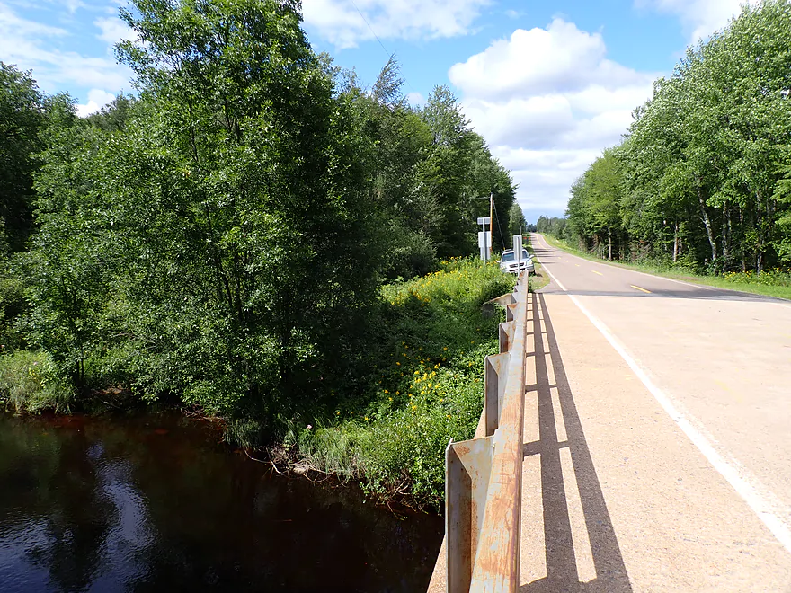
Hwy M..a weedy but doable bridge access
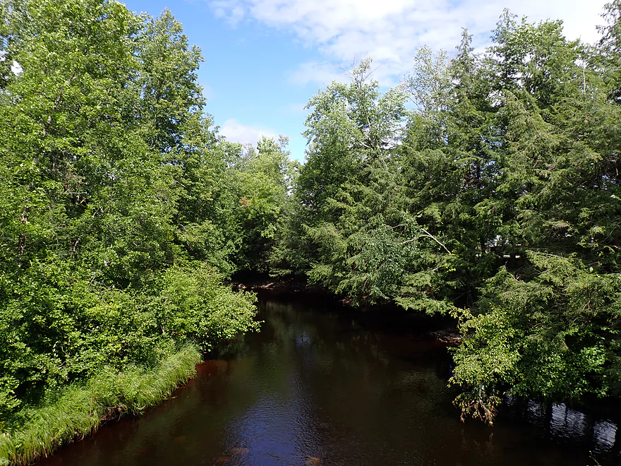
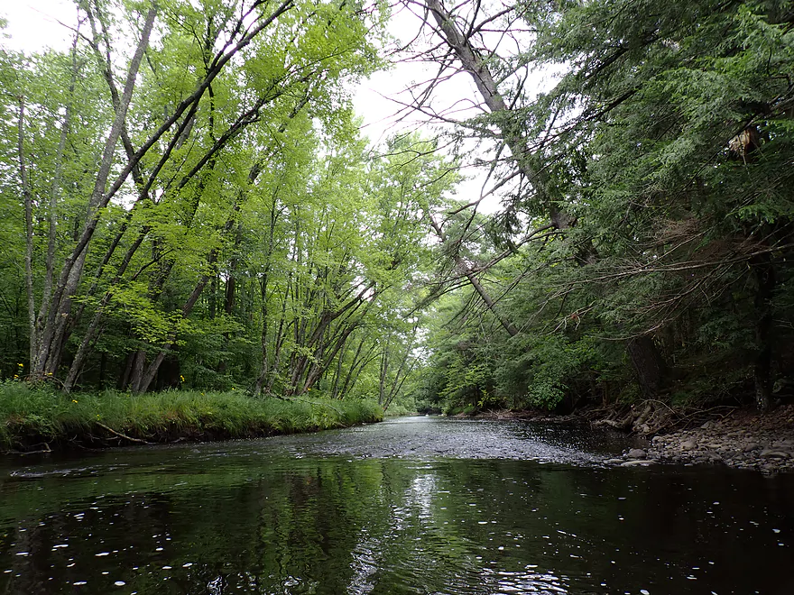
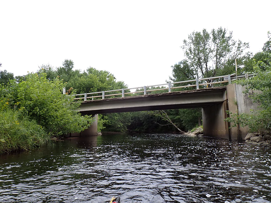
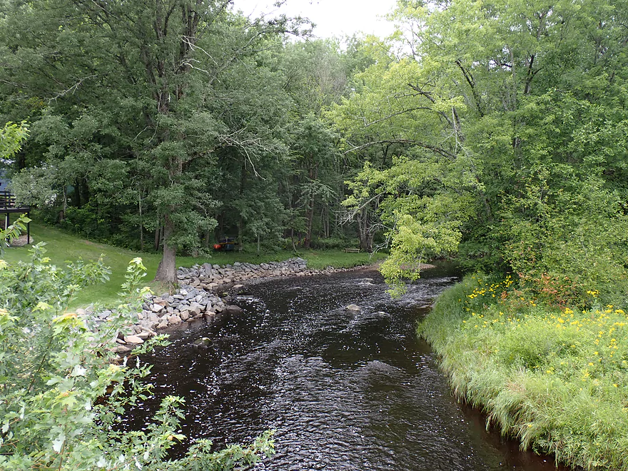
Downstream view from bridge
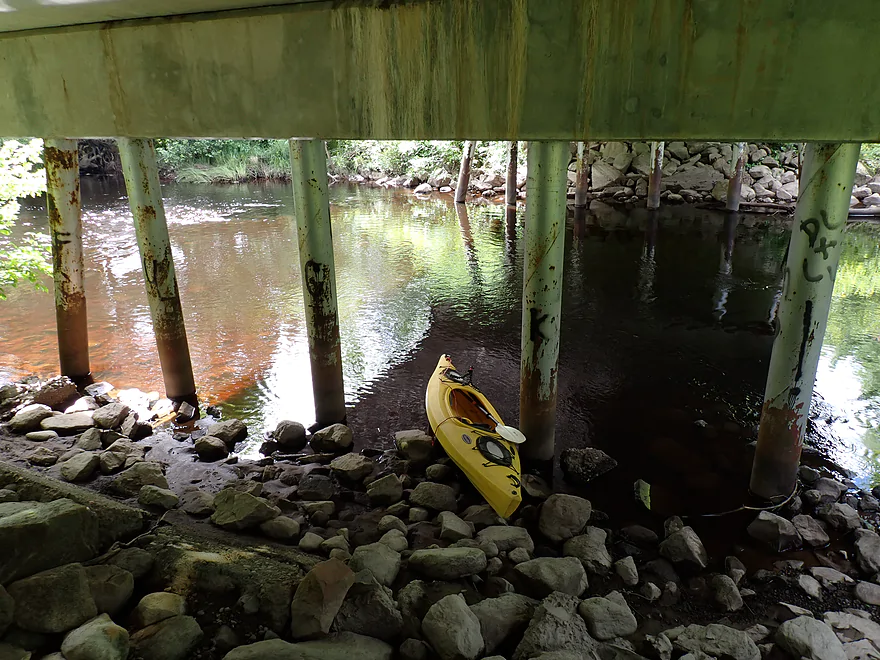
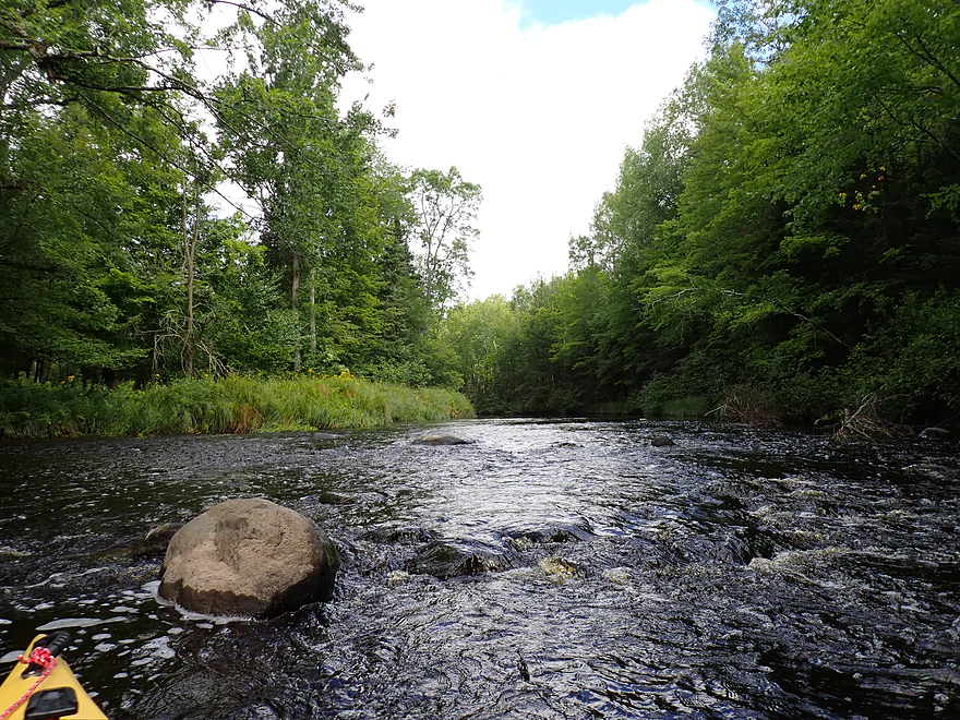
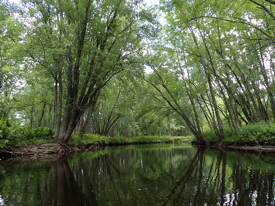
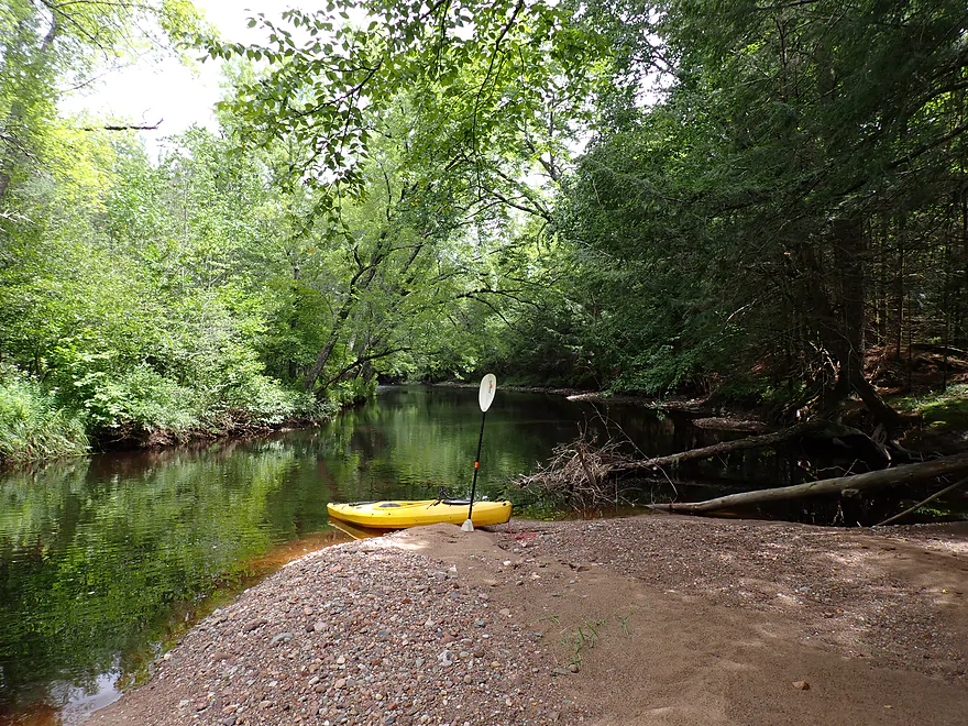
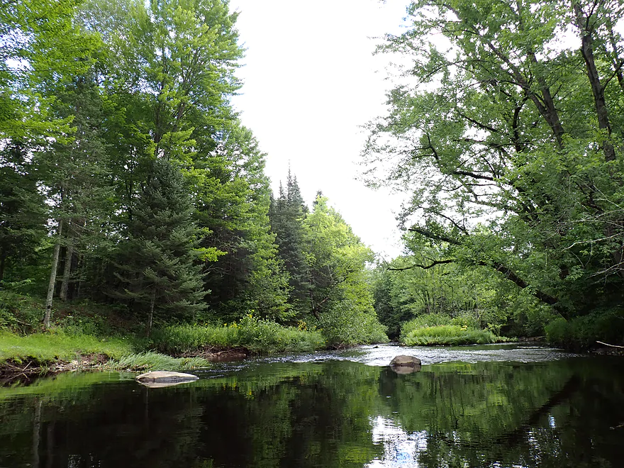
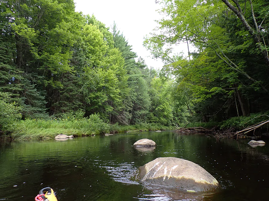
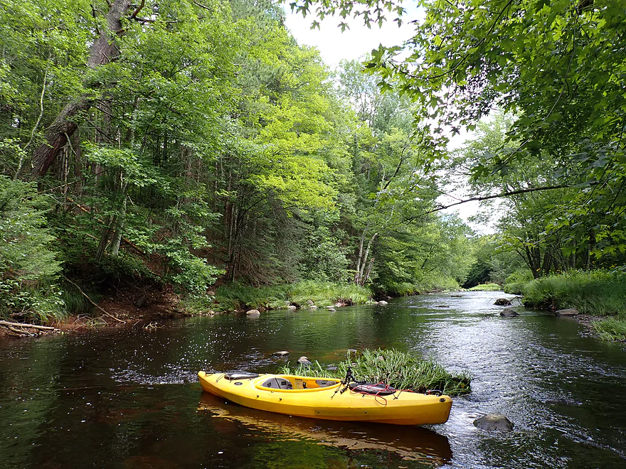
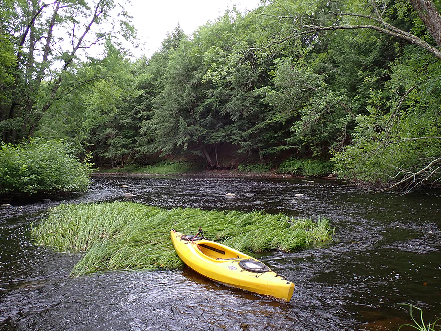
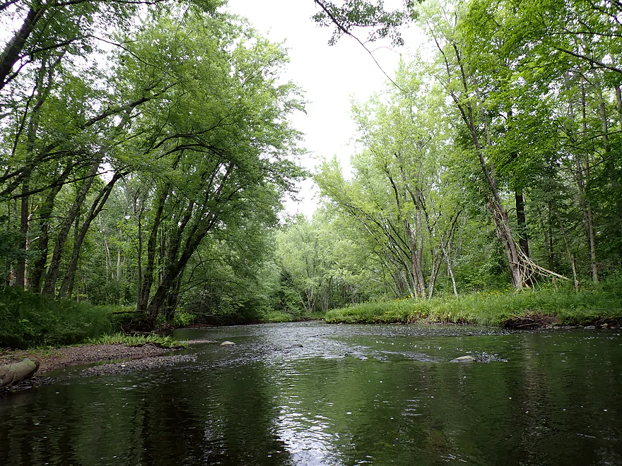
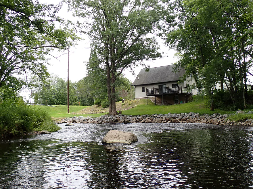
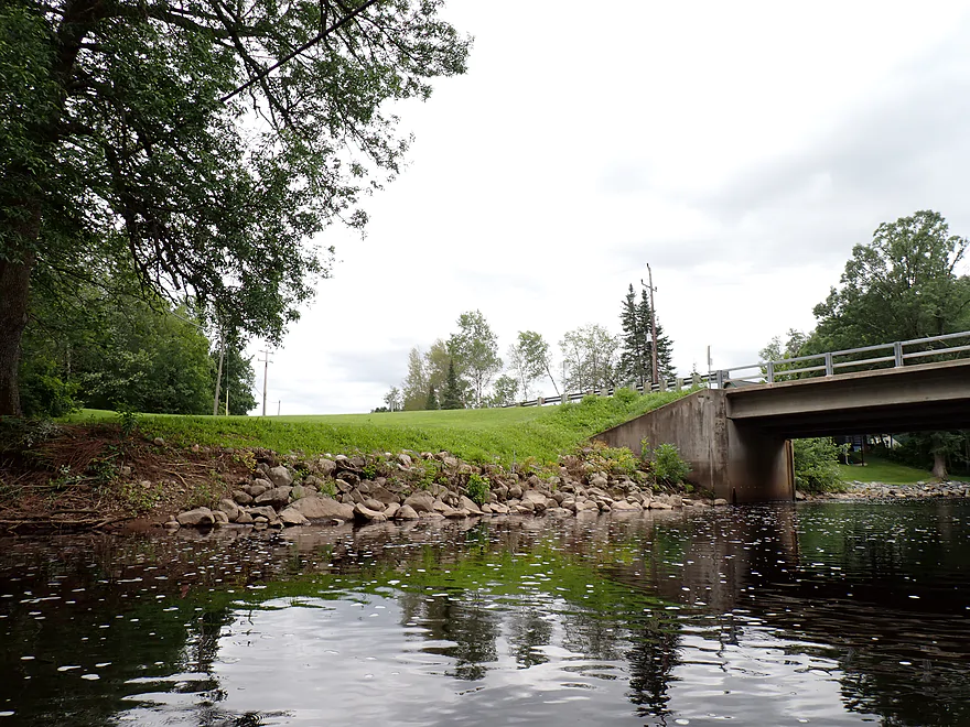
Ok launch area below the bridge
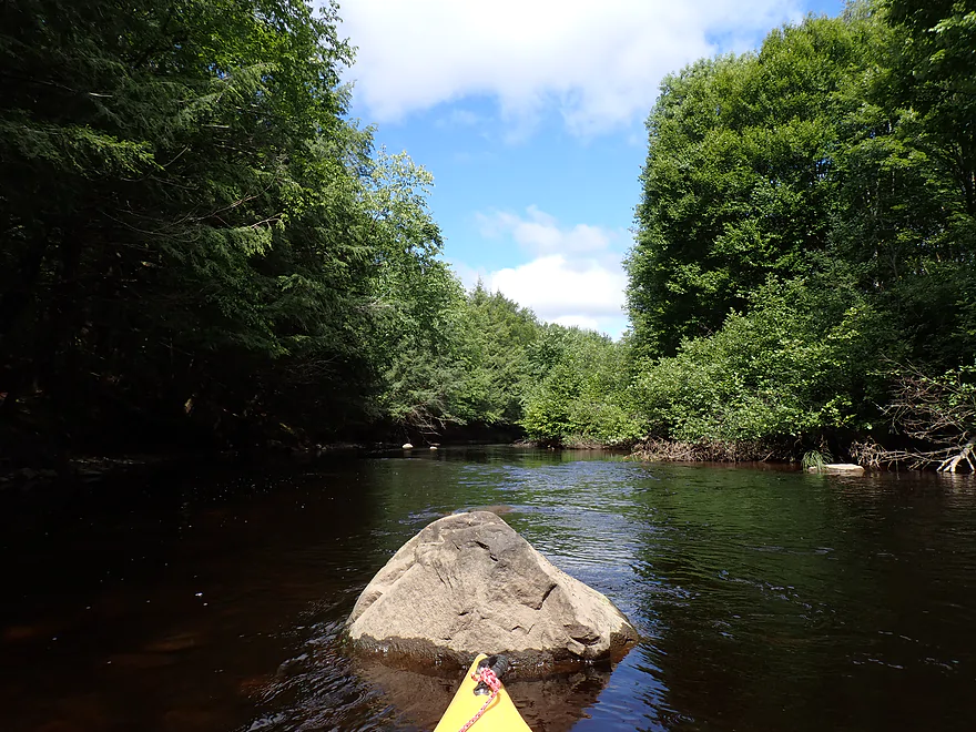
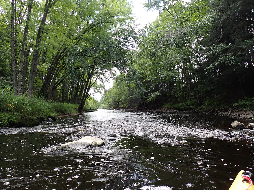
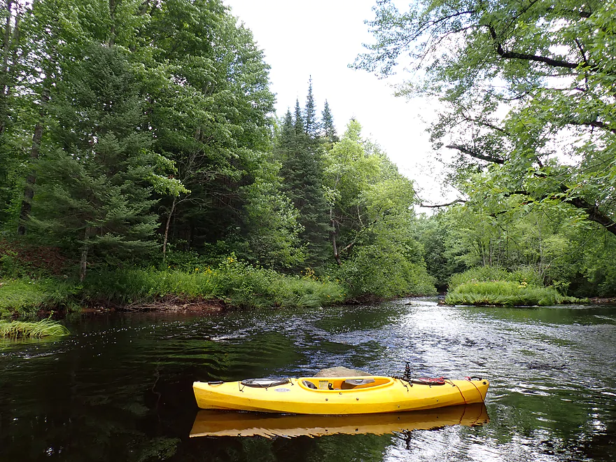
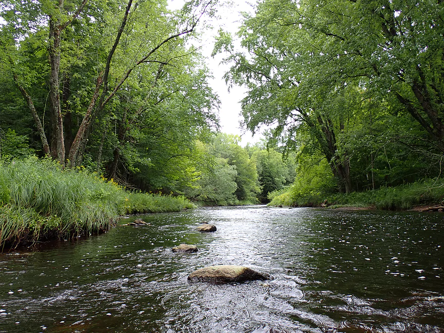
First of many
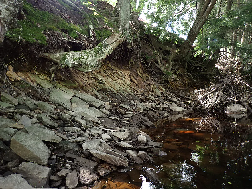
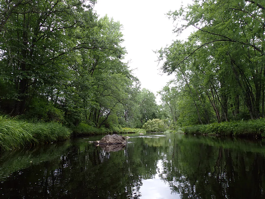
One of the few outcrops on the river
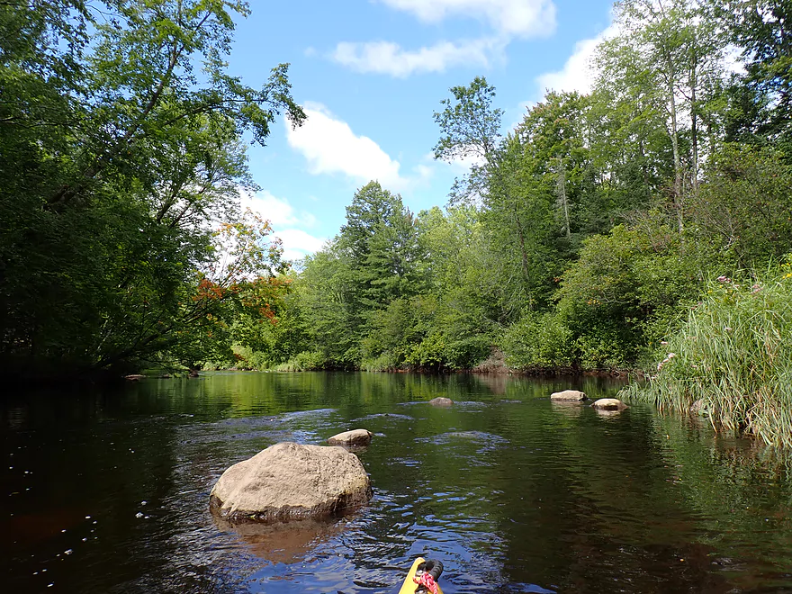
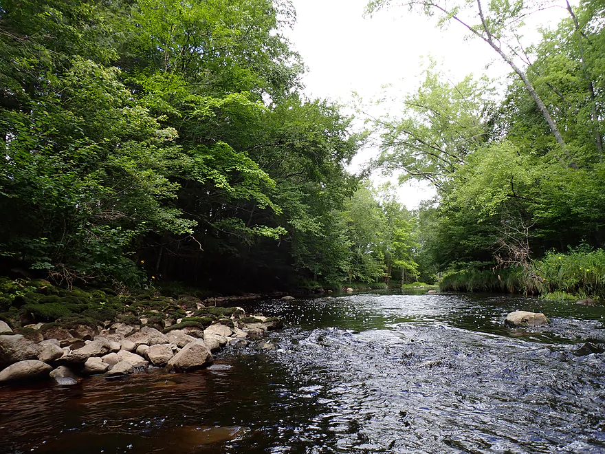
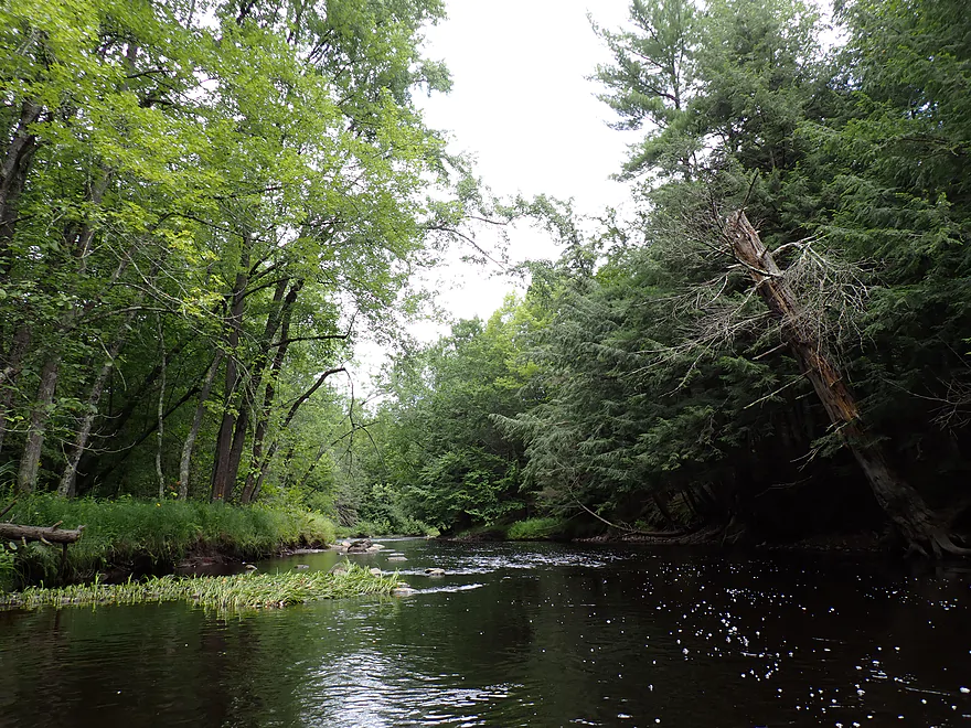
Reminded me of the Plover River
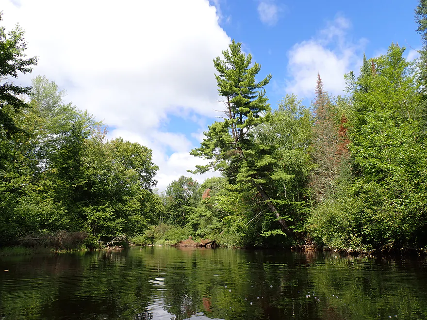
Leaning white pine
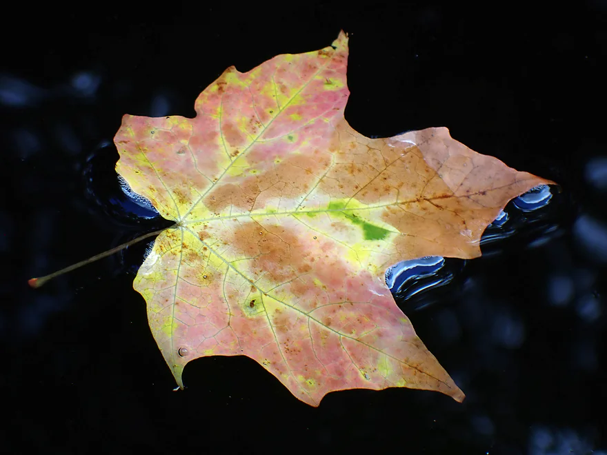
Way too early fall color
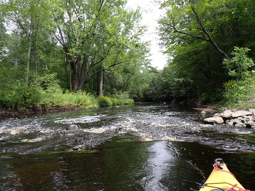
Just a handful of rapids…most were pretty tiny
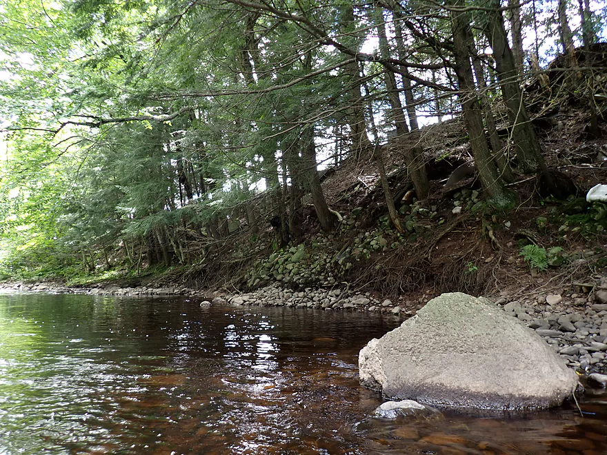
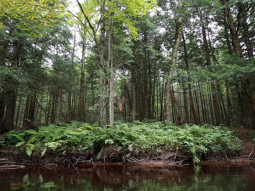
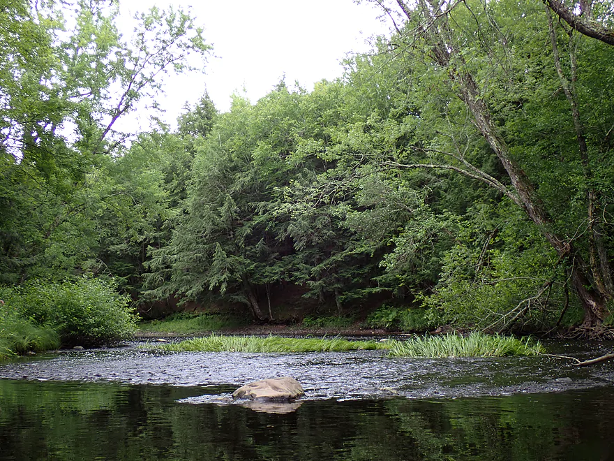
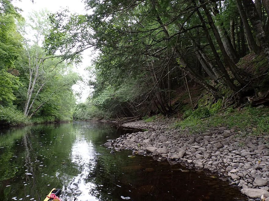
Rocky shoreline with hemlocks
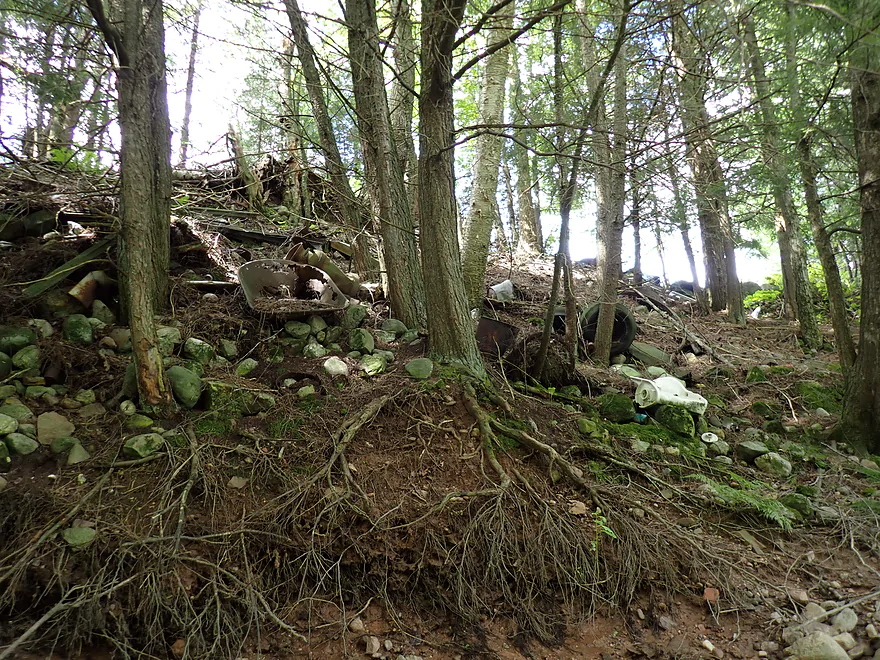
Yikes…somebody is using the river bank as their dump
Another baby riffle
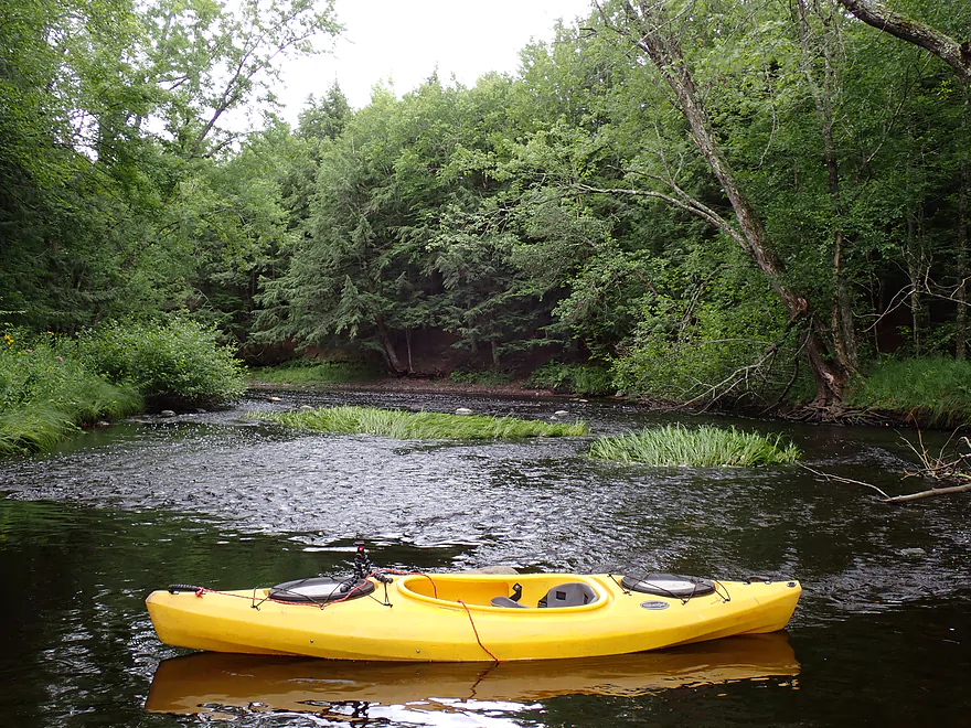
Reverse view
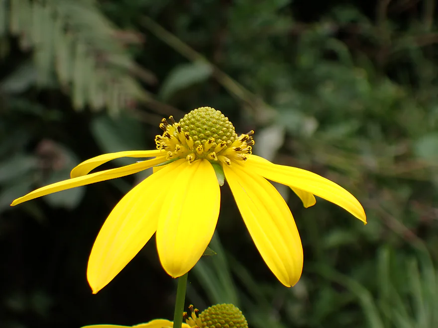
Woodland sunflower
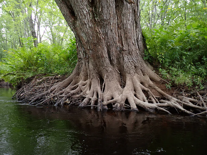
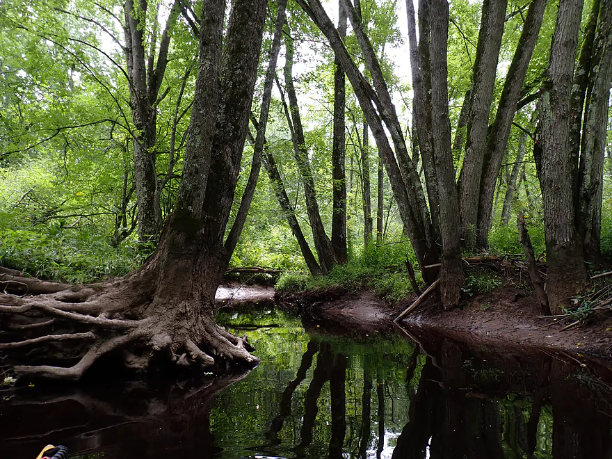
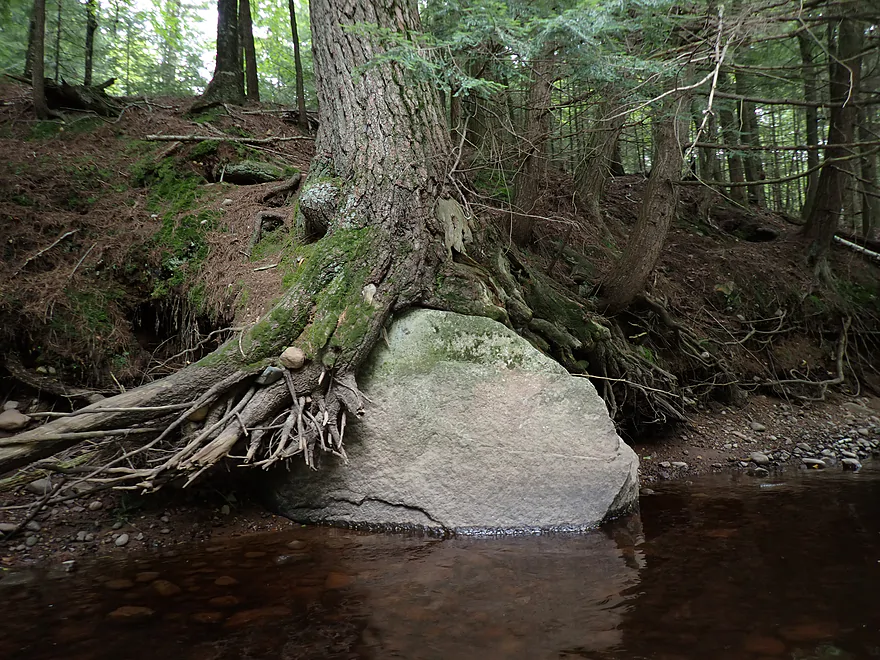
Spider web of roots
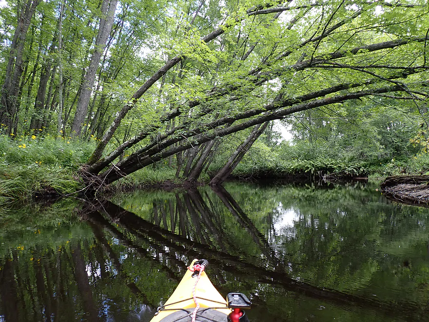
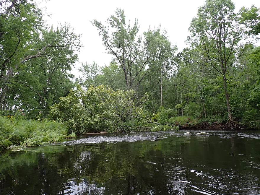
Logjam…I was able to hop over
Checking out a side gully by a nice stand of hemlocks
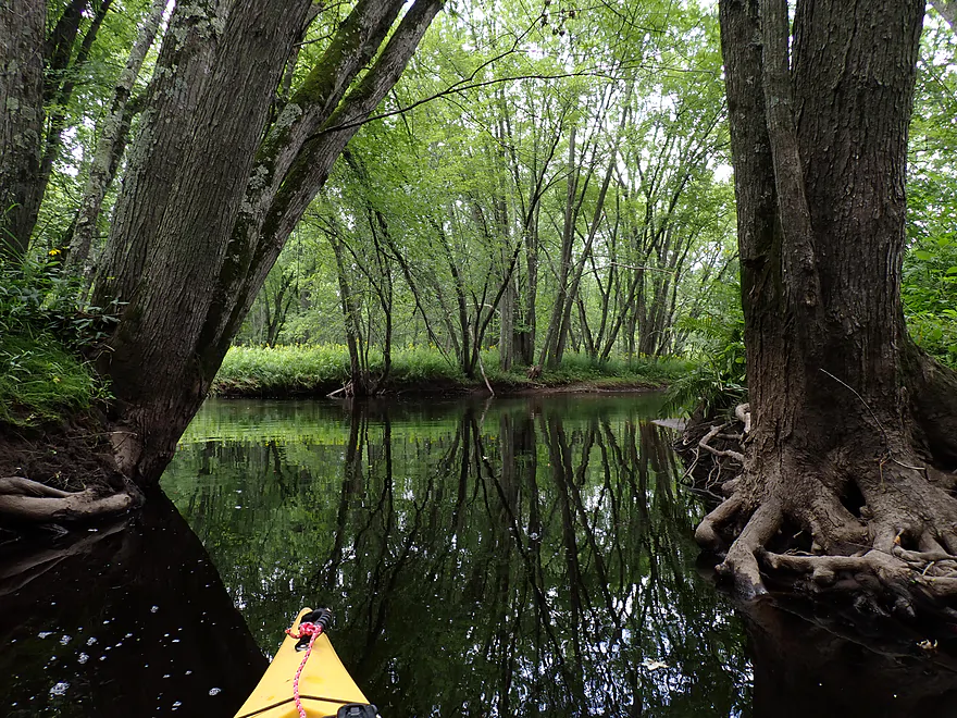
Framed exit
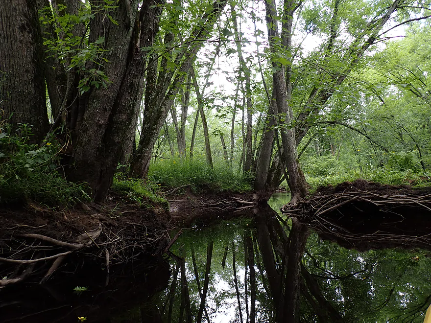
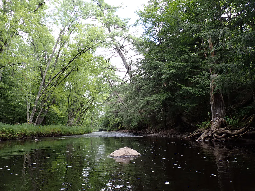
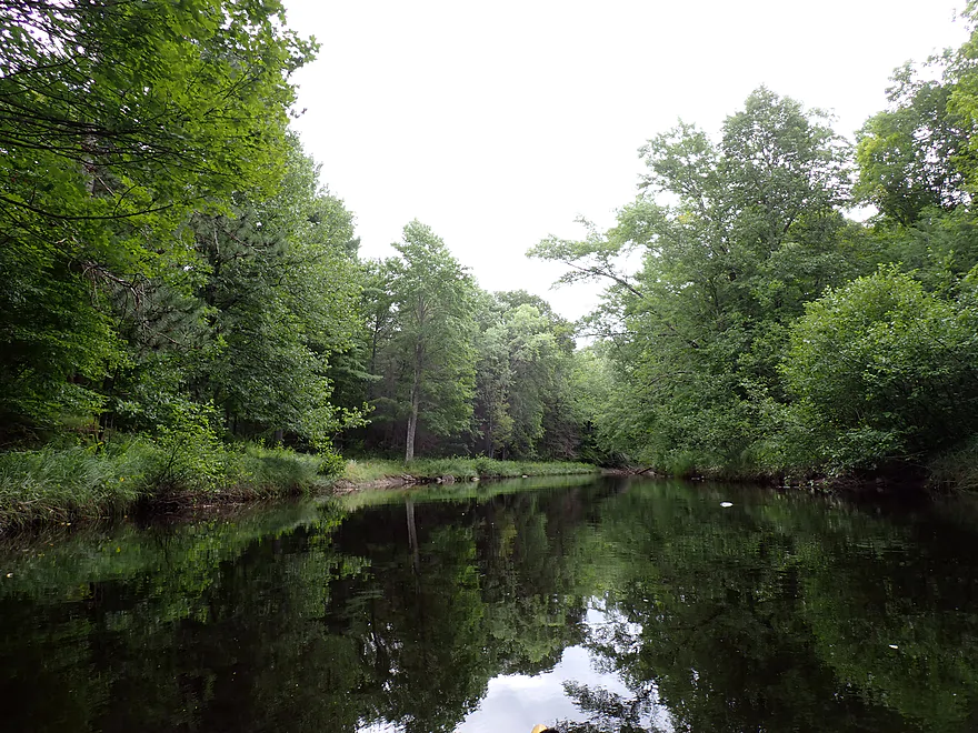
Nice reflections
Checking out a side gully
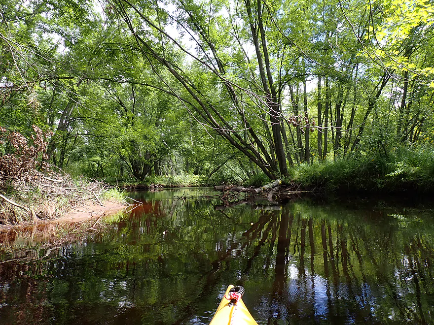
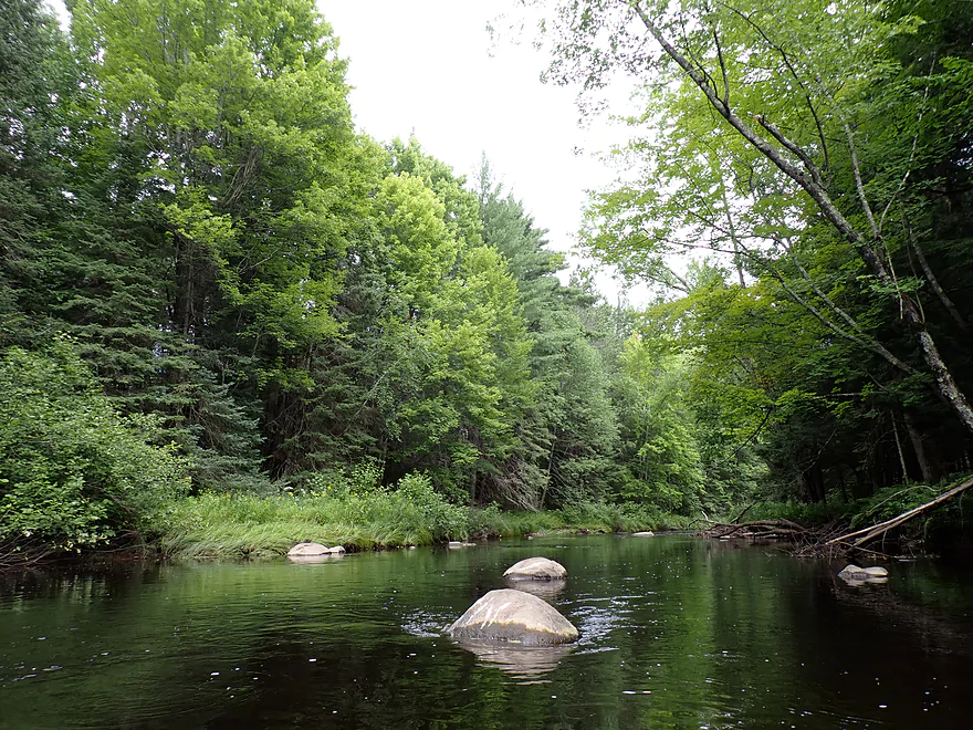
Nice gravel bar
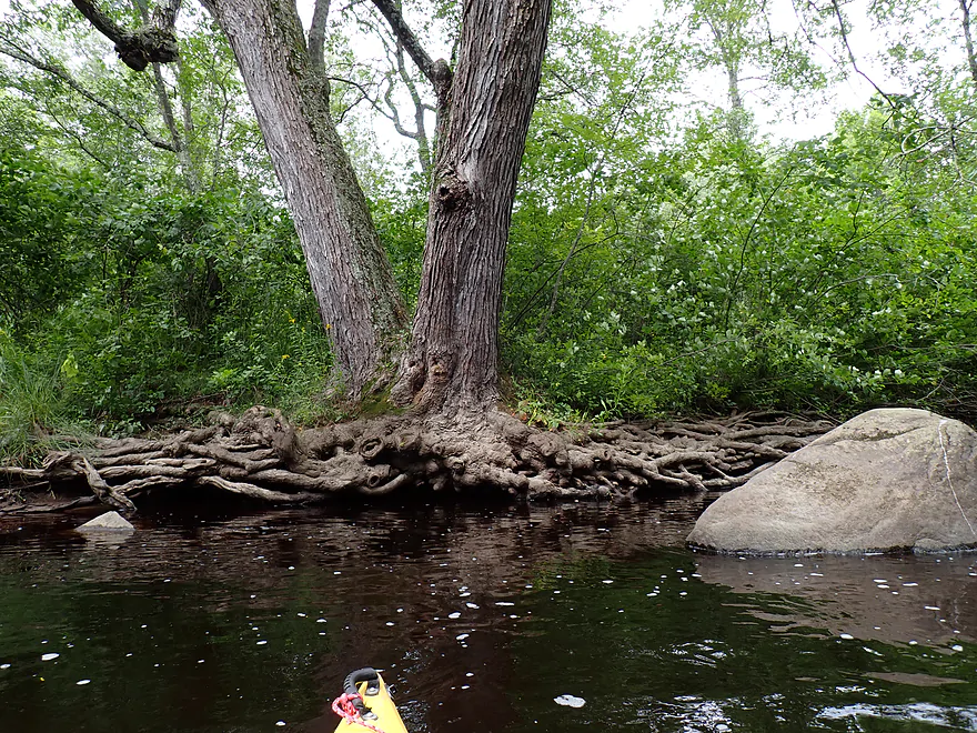
Octopus roots
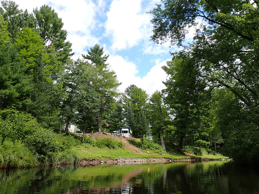
Didn’t see many homes on the river, but there were a few
Scenic stretch (the pointy trees are balsam fir)
Biggest rapids of the trip (actually an artificial ledge)
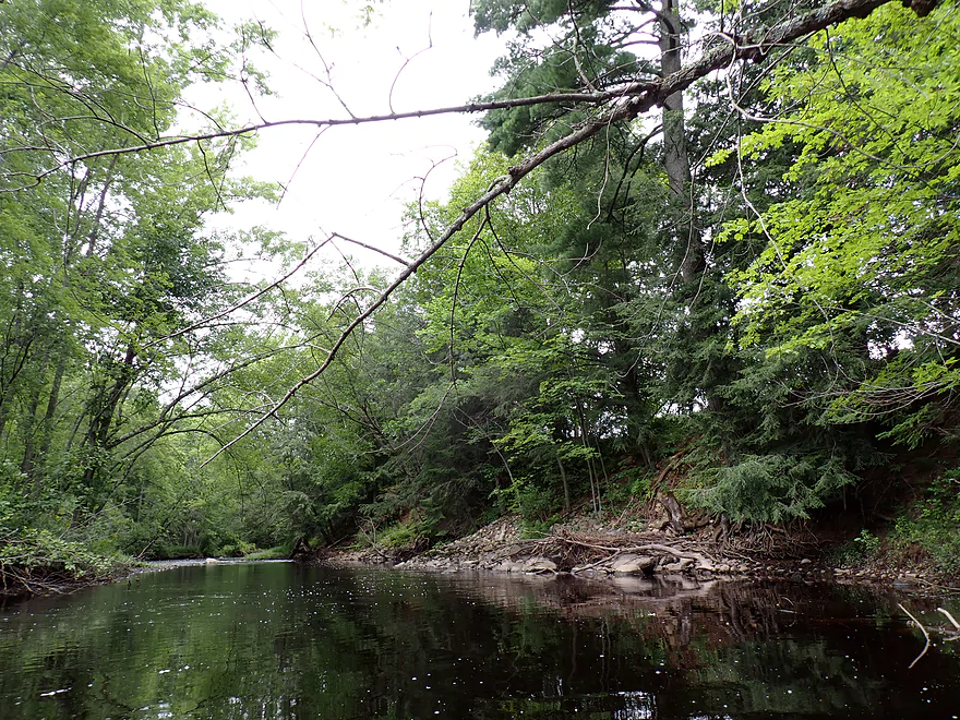
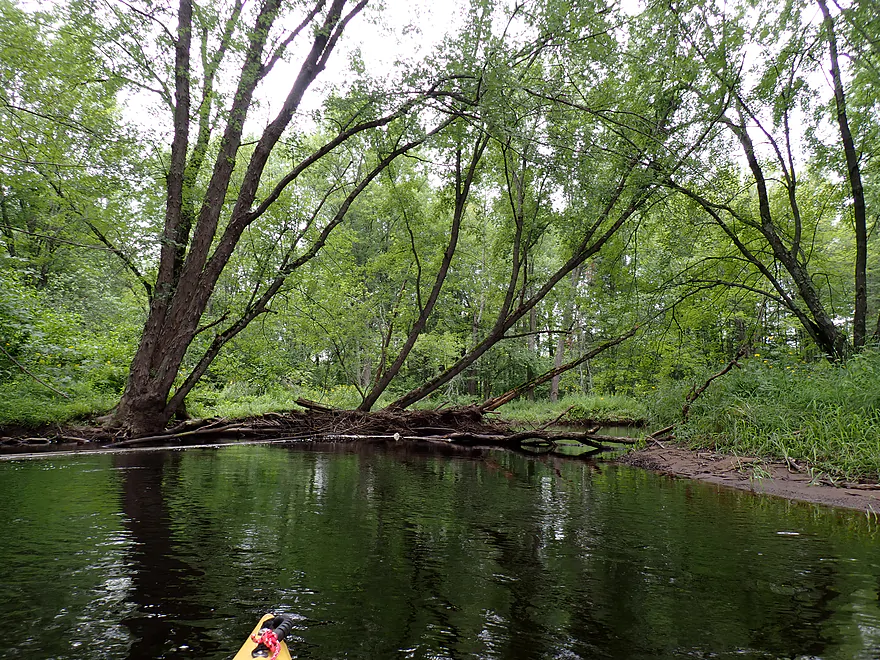
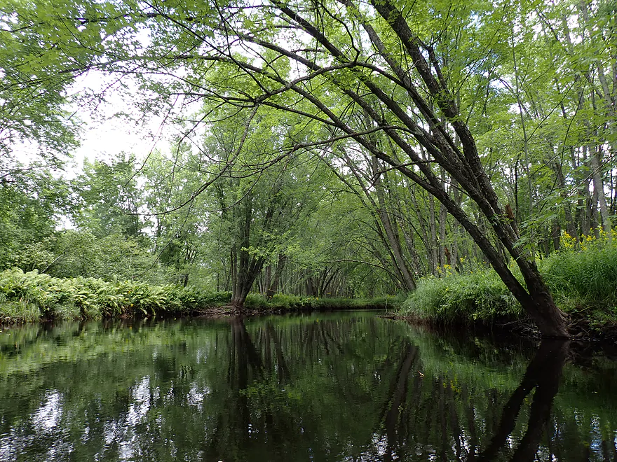
Cool tree canopy
Tree anaconda
A mix of deciduous and evergreen trees
Lot of great ferns on the trip
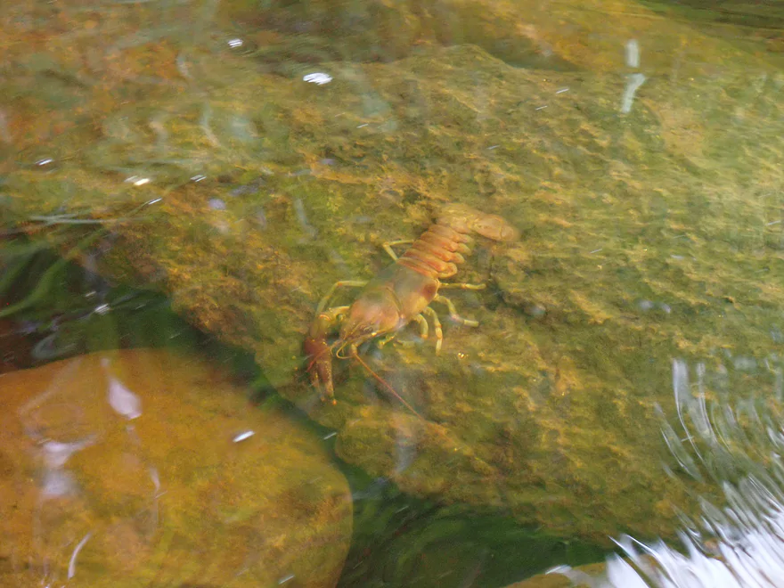
Crayfish were everywhere
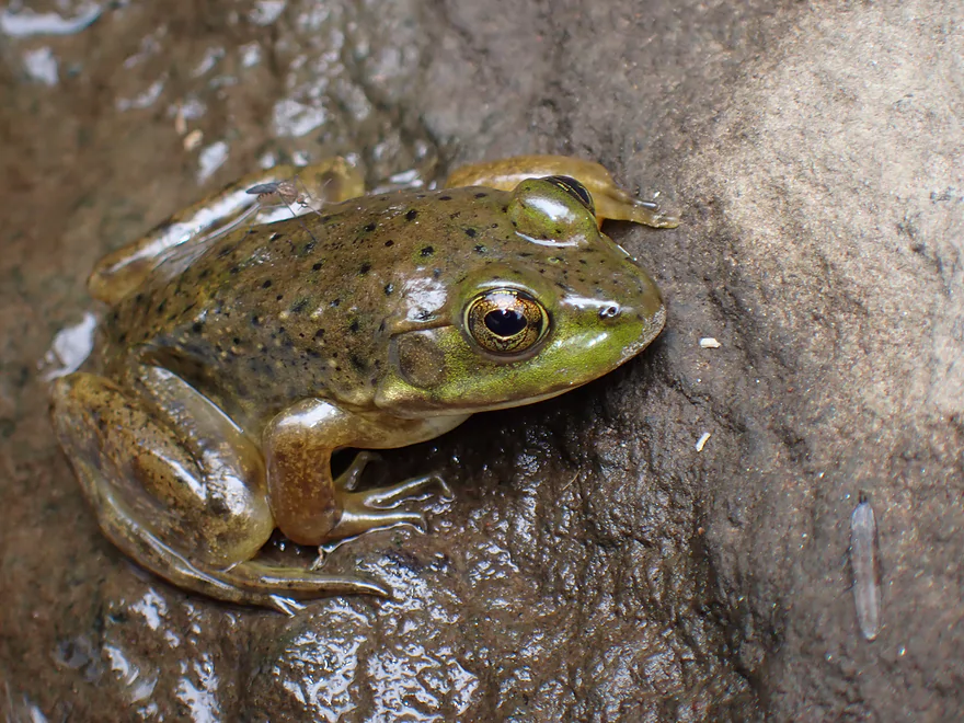
A young green frog
One of my favorite parts
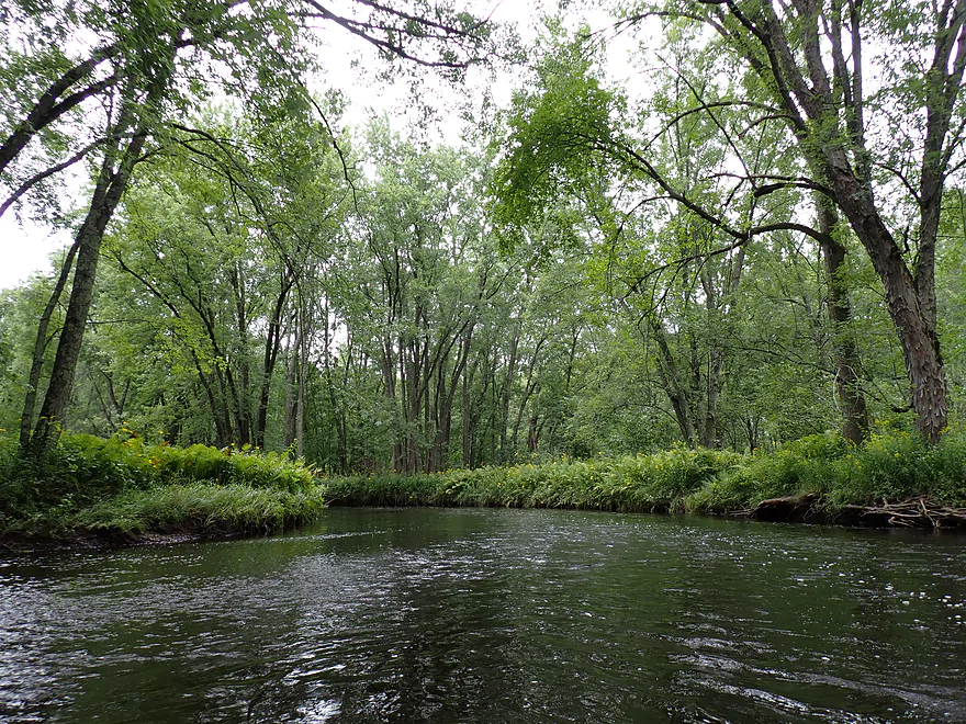
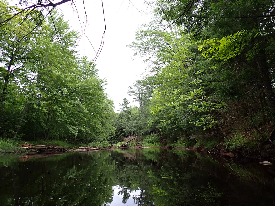
Scenic bend
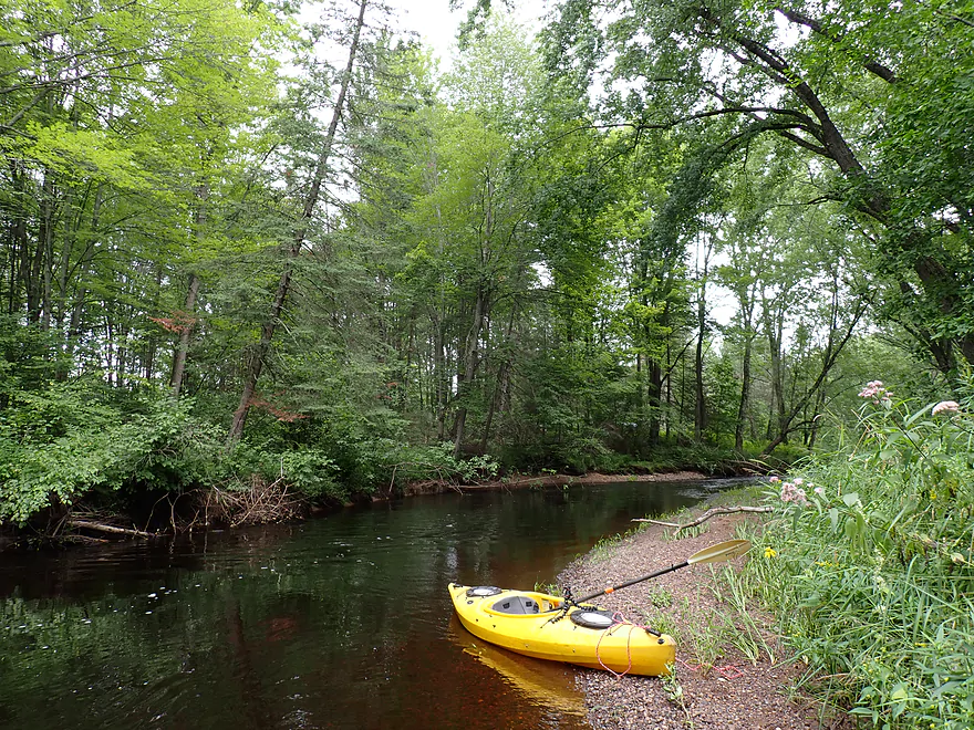
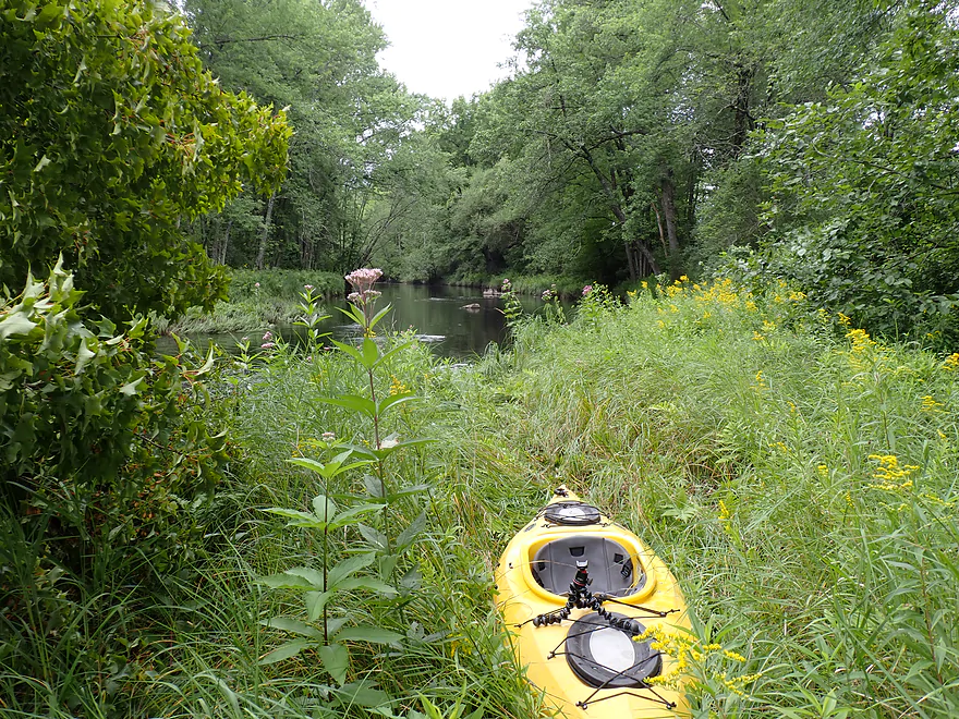
Getting out for pictures
Photogenic conifers
In low water these gravel bars can be very impressive
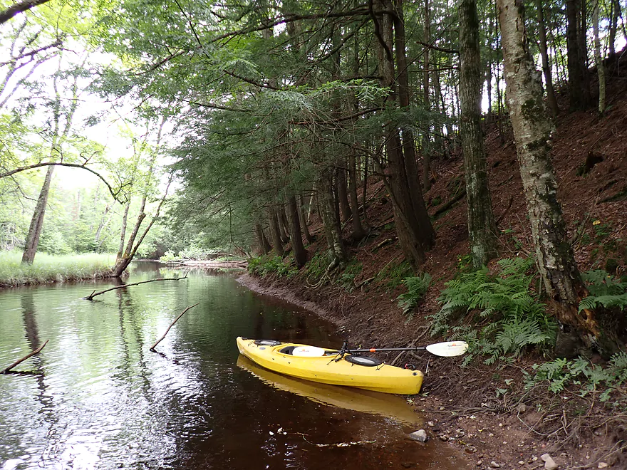
More hemlock trees
A lot of silver maples
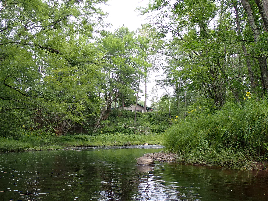
Another home
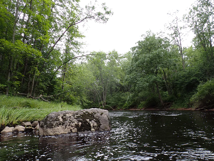
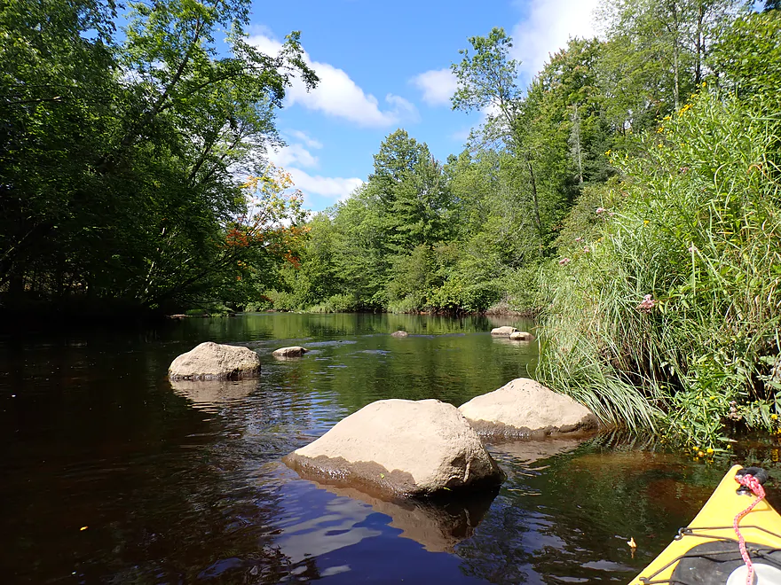
One of the larger boulders on the trip
Logjam
Easy portage
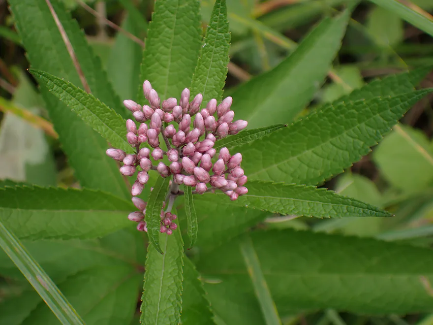
Joe-pye weed–our friendly late summer flower
Final bend
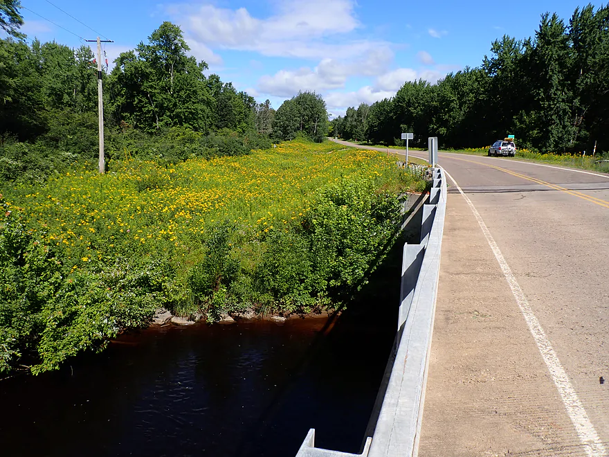
Hwy E
South bank is tempting…but don’t take out there (private homes are close by)
The north bank is weedier, but doable as an access
Hwy E is a great water level scouting spot because of the rapids
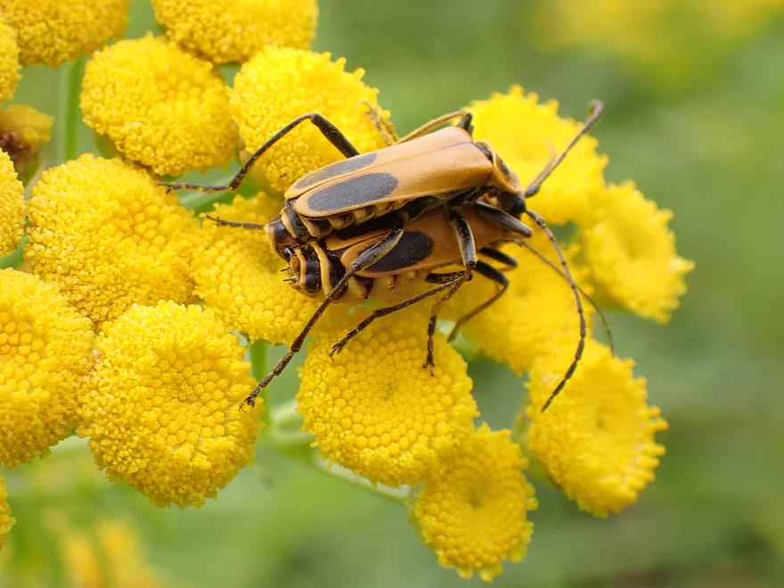
Soldier beetles on tansy flowers
Copper River

The Copper is a small tributary to the Wisconsin River located just north of Merrill. It’s pretty obscure in paddling circles, but it’s definitely kayakable and locals do occasionally float it. The river itself isn’t very long and above Forks Road splits into three tiny forks which aren’t super navigable. So your choices are somewhat limited for kayaking…and I opted for a short middle leg (Hwy M to Hwy E) for this trip.
Hwy M was a bit weedy for a bridge access but was plenty doable. The area was very scenic with rocky shores and attractive wooded banks. My first impression was actually relief…relief that the river wasn’t too high or too low. The Copper isn’t as volatile as nearby rivers (eg Pine, Trappe, or Big Eau Pleine) but it is still a Goldilocks river that has to be timed right. My second impression was how this “river” was really a creek (which isn’t an issue for kayaking, just funny).
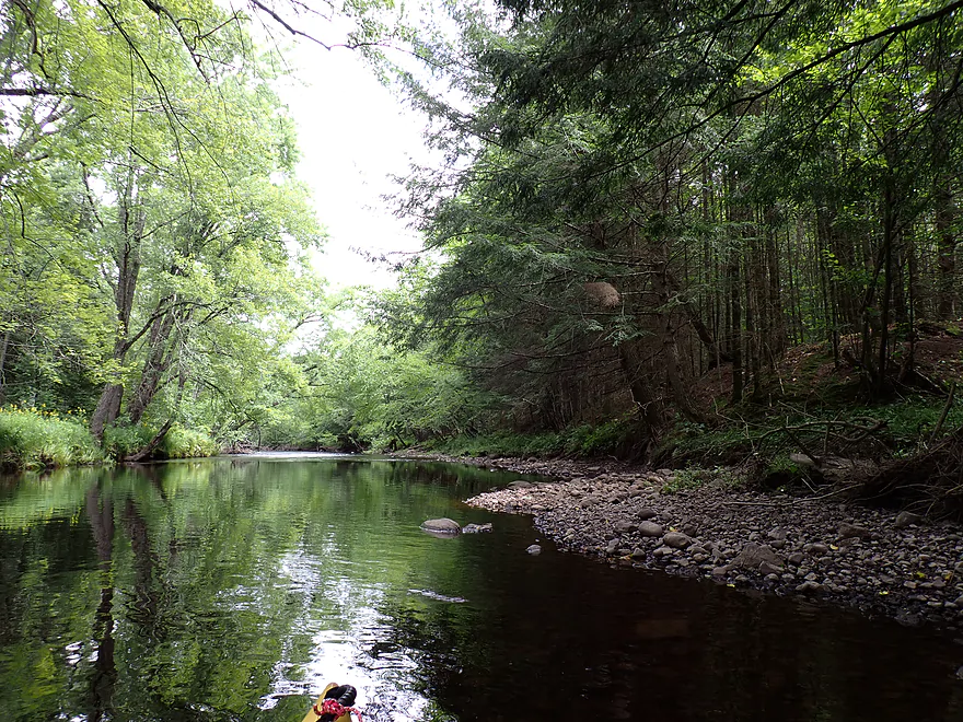
One of the treats of doing north-central kayaking trips are the fantastic smorgasbord of trees you’ll see. Variety and quality was great with some terrific stands of sugar maple, white pine, cedars, spruce, hemlocks, and balsam firs. Even the “weedy” silver maples were nice and arched gracefully over the creek to form attractive canopies. Along the banks were fantastic ferns and wildflowers. Sadly some of the treeline did look a bit thin and open, and I suspect logging has been an issue.
I had hoped to see a lot of interesting geology on this trip (outcrops, boulder gardens, big boulders, exposed bedrock, etc…). On this front though, I came away disappointed as there were just a few runty outcrops and small boulder gardens. Several of the gravel bars were nice though.
The other thing I had hoped for were rapids…but outside of a handful of small riffles, there really wasn’t much. There was a half-foot ledge by Hoffman Lane, but I suspect it was created by the adjacent homeowner. I talked to this very homeowner and he told me he had kayaked the river from M to his house when water levels were much lower…but he had to walk half his trip. I guess my timing was fortuitous as I didn’t have to get out ever for shallows (I did learn a thing or two from my shallow Trappe River experience).
The last mile of the trip was the most attractive and featured the nicest trees and boulder gardens. The trip ended by a scenic bend in the river. Just upstream from the Hwy E bridge is an attractive pitch of rapids. In fact Hwy E would be a good scouting bridge. If the river looks too high or low here…chances are you won’t have a good trip.
In summary this was a good trip, but not an elite one. The trees were fantastic. It was a treat paddling a narrow river which twisted between tree walls with a lot of great species. In hindsight I think taking out at Hwy E was a mistake. I likely should have paddled a few extra miles and ended on the Wisconsin River. That last stretch per AmericanWhitewater sounds really good with some better rapids, boulder gardens and possible outcrops/dells. What I did wasn’t a bad trip…it’s much easier than neighboring water trails (Trappe or Pine) and can be done by beginners. But on the downside it’s not as exotic or as scenic as its neighbors.
There were countless crayfish…practically everywhere you looked. One eagle ‘buzzed the tower”. He came from behind and dipped to about 10’ above my boat before rising up again. Maybe he was territorial and saw me as a threat? A pair of turkeys wanted to cross the river, but didn’t want to bother swimming. They flew, and did so exceptionally well and fast. One has to wonder…are wild turkeys evolving their flight skills or devolving them over time (like the penguin)?
Hwy M: This is a mediocre bridge access. There is a home on the south side, so you should launch from the north side to give them some space. The banks are quite weedy. If you launch here, duck under the bridge when you can as that is more open and has a nice rocky area for launching.
Alternate Put-ins:
- Forks Road (2.6 miles upstream from Hwy M): Forks Road should be a decent bridge access. This bonus leg starts a little brushy and boggy, but should feature some minor rapids and boulder gardens.
Hwy E: I advise getting out on the north side which is actually more difficult. The reason to avoid the south shore are two nearby homes and it’s probably best to give them space. Both the northeast and northwest corners are steep and weedy…but manageable. Shoulders are good for parking. Note, most paddlers won’t end their trips here…but will continue a few extra miles to the Wisconsin River and end their trips at the WPS Boat Landing.
Alternate Take-outs:
- WPS Boat Landing (2.8 miles downstream from Hwy E): WPS is a good public landing on Alexander Lake (aka the Wisconsin River). This bonus leg is intriguing… supposedly it has a mile-long stretch of almost continuous Class 2 rapids and a gorgeous gorge and dells. Unfortunately about a mile of this is open lake paddling.
Bike Shuttle – Hwy E to Hwy M: 3.5 miles with 36′ of ascent. This was a super easy bike shuttle…paved and relatively flat with only a few minor hills.
Logjams: Generally speaking this was a pretty open river. There were just two logjams (marked on the trip map). The first was about halfway into the trip and it would have been an easy portage, but I was able to hop over. The second is located very close to the Hwy E take-out. This looked fresh and did have to be portaged…but the portage was very easy.
Rapids/Current: There are a number of light riffles, but their frequency and intensity are pretty mild compared to neighboring streams. I would rate the rapids as easy Class 1’s and IMO this is a trip suitable for beginners. However…many paddlers will continue downstream from E to the Wisconsin River and it should be noted that those rapids (Class 2) can be more severe and dangerous (and more so in high water).
Gauge: Big Eau Pleine River @ Stratford
Trip Depth: 100 CFS or 3.43′
Navigability Estimates: The Copper doesn’t have a gauge so I’m using the Big Eau Pleine which is an imperfect analog. It’s tempting to use the Prairie River as a representative gauge, but that’s too big. Note, if you are in the area, the upstream view from Hwy E is an excellent spot to scout. Here you can see rapids. If these look too shallow or too high, this might be a sign you should do another trip. Be very skeptical of the following estimates…these are just rough guesses.
- < 41 CFS: Ultra low…not kayakable unless you like wading. A guy I talked to did the river in low water and said he had to wade about half of it.
- 41-80 CFS: Very low. You might have to get out in a few spots to wade the shallow spots.
- 81-120 CFS: A good target range. At 100 CFS, I never had to wade any shallows.
- 121-300 CFS: A high depth. Likely navigable, but water quality won’t be as good and some scenic boulders will be underwater.
- 301-500 CFS: Very high depth…maybe only suitable for expert paddlers.
- 501+ CFS: This might be too high for any skill level.
Click here to see an overview map of the Copper River.
Main Branch:
- Upstream from Forks Road: Just a couple hundred yards upstream from the bridge, the river splits into three forks. More on these later.
- Forks Road to Hwy M: 2.6 miles. Starts brushy with bog-like scenery. River becomes more wooded with some fast current, minor rapids, and small boulder gardens. Likely a good stretch.
- Hwy M to Hwy E: 4.7 miles. A good but not spectacular leg. First half is less interesting with more silver maple and logged shorelines. Second half is attractive with more boulders, light rapids, and scenic wooded banks. Some stretches include fantastic stands of cedar, white pines, spruce, hemlocks and firs.
- Hwy E to WPS Boat Landing: 2.8 miles. AmericanWhitewater.org describes this has having a mile+ long stretch of rocky Class 1-2 rapids followed by flatwater flowage. Frank Piraino says there is a gorgeous gorge and dells below Hwy E.
Middle Fork:
- Upstream from Wegner Road: The creek becomes very narrow and there appears to be major choke points visible from satellite images. I doubt this leg is viable for paddling.
- Wegner Road to Forks Road: 4.5 miles. Rick Kark describes it as boggy and not super fast. Scenery is pleasant, but he said beaver dams were a bit tricky to navigate.
North Fork:
- Upstream from Wegner Road: Likely not viable for paddling.
- Wegner Road to Cranberry Trail: 6.3 miles. Likely slow and brushy. Might be a few logjams. A cranberry marsh is located nearby.
- Cranberry Trail to Forks Road: 1.0 miles. I don’t know much about this leg. Likely brushy and boggy.
South Fork:
- Upstream from Hwy M: Likely too narrow and congested for paddling.
- Hwy M to Forks Road: 2.1 miles. An open and brushy leg of the river.
Trip Map
Overview Map
Video
Photos Size: