Neenah Creek
This is a good paddling creek. As a general rule the further upstream you go on this creek, the more interesting it becomes.
Trip Reports
W Chauncey St Bridge to Hwy A Bridge
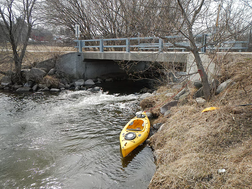
Date Paddled: April 6th, 2014
Distance: 6.2 Miles
Time: 4 hours (slowed by pictures and cutting limbs)
Neenah creek is an occasionally paddled creek that is normally known for its open grassy areas, wetlands, waterfowl, and for being the first major tributary of the historic Fox River. A far more obscure segment of the stream, rarely paddled, is the far upper section, which I learned about from Small River Canoe Adventures of […]
Read More...Hwy A Bridge to Hwy P Bridge
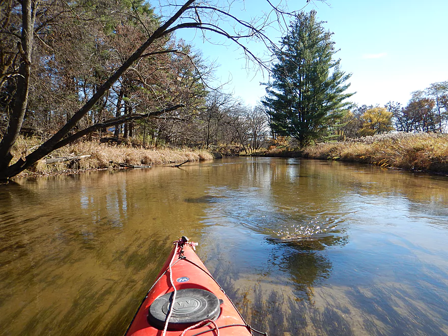
Date Paddled: October 26th, 2014
Distance: 4.0 Miles
Time: 2 hours 22 minutes
A solid but not super exotic wetland paddle with its strength being the clean water and sandy bottom. Put-in: Pretty good access at Hwy A. You can put in north of the bridge (either up or downstream). There are riffles running under the bridge, so putting in upstream lets you run them. Try not to […]
Read More...Hwy P to Grouse Drive
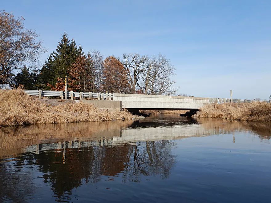
Date Paddled: December 3rd, 2017
Distance: 6.7 miles
Time: 2 hours 41 minutes
A return to Neenah Creek to check out its middle portion. This is an open wetgrass paddle that isn't overly exciting, but does have some subtle beauty.
Read More...Grouse Drive to Muskrat Road
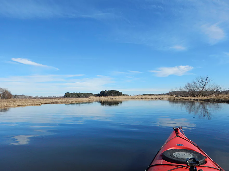
Date Paddled: February 19th, 2017
Distance: 3.2 miles
Time: 1 hour 24 minutes
A return to Neenah Creek for an easy wetgrass paddle with few challenges, but few rewards.
Read More...Muskrat Road to Hwy CX
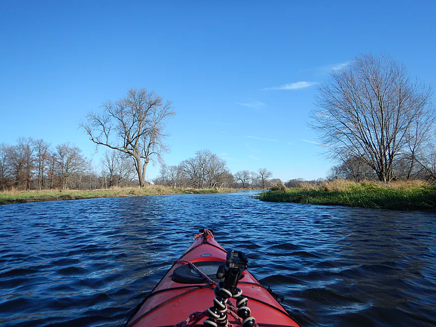
Date Paddled: November 13th, 2016
Distance: 5.2 Miles
Time: 2 hours 9 minutes
This simple wetgrass paddle is not overly interesting with a broad slow channel and repetitive flat scenery. However, it is fantastic for waterfowl.
Read More...Hwy CX to Hwy CM
Date Paddled: August 24th, 2024
Distance: 5.7 miles
Time: Expect 2-3 hours
The final leg of Neenah Creek is a varied paddle with a mix of wetlands, bottomlands, and narrow creek paddling. It was however surprisingly nice with the highlight being the bountiful waterfowl.
Read More...Overview Map
Detailed Overview
Main Branch: Click here to see an overview map.
- Upstream of Peppermill Creek: I suspect the creek is too congested to run
- 1st Lane (Peppermill Creek) to 1st Court: 1.1 miles. First half is a nice, clear, and open stream but there is congestion after that.
- 1st Court to Seeley Lake Access: 2.8 miles. Amazing clarity, nice riffles and steep hills…but serious logjams issues. Been on my to-do list for a while…
- Seeley Lake Access to West Chauncey Street: 0.6 miles. Mostly pleasant lake paddling with a dam to portage.
- West Chauncey Street to Hwy A: 6.8 miles.
- West Chauncey Street to Fox Road: 1.9 miles. My favorite section with incredible clarity. This stretch is more wooded and hillier than other legs. Logjams can be an issue. Cleanup work has been done, but 2-3 logjams may remain.
- Fox Road to Hwy A: 4.4 miles. Attractive leg with good clarity. Starts wooded, but quickly transforms into an open wetland paddle with many tight turns. There could 1-2 logjams.
- Hwy A to Hwy P: 4.1 miles. My second favorite section. Very nice wetgrass paddle with great clarity and no logjams...best saved for a sunny day.
- Hwy P to Grouse Drive: 6.4 miles.
- Hwy P to Hwy 23: 3.9 miles. A pleasant stretch that starts nice with clear, sandy seeps but becomes less interesting when it flows though the marsh.
- Hwy 23 to Grouse Drive: 2.5 miles. A mediocre stretch...less marshy than before, but still very open.
- Grouse Drive to Muskrat Road: 3.1 miles. Creek slows down and widens significantly.
- Muskrat Road to Hwy CX: 4.6 miles. A big, open, and wide wetgrass paddle...at times pleasant with good water fowl, this is likely my least favorite section.
- Hwy CX to Hwy CM (on Fox): 5.8 miles.
- Hwy CX to Dixon Road: 4.1 miles. This is more varied, narrower, and nicer than the preceding leg. It's mostly open marsh paddling but is attractive with a lot of waterfowl. At the end there is a stretch with a lot of dead trees. Sounds worse then it was...the trees skeletons were attractive and we never had to portage (as of 2024).
- Dixon Road to Mouth on Fox River: 1.1 miles. Final leg of Neenah Creek. Attractive bottom-land paddle with many silver maple. This stretch can have logjams, but as of August 2024, none required a portage.
- Mouth to Hwy CM: 0.7 miles. A short leg on the Fox River to reach the next bridge. There is slow current and unremarkable scenery, but it's not a bad stretch. The highlight is the rustic wooden CM bridge.
Tributaries:
- Big Spring Creek: A small, but neat creek with incredible transparency.
- Neenah Creek – South Branch: A slow, simple but pleasant marsh paddle.
- Big Slough Creek: A very slow, broad creek with a lot of history.
- O’Keefe Creek: Too small to run above Mud Lake, but it is navigable downstream of the lake.

