Red Cedar River – Colfax


The Red Cedar is a popular paddling river located in northwest Wisconsin. Most who paddle it do so below Menomonie, but from online pictures it appeared to have repetitive wooded banks and seemed a smidge overrated. I found a social media post from a kayaker who instead did a leg below Colfax and said it was his favorite. This is a bit surprising as not much is written about this stretch. Noted paddling author Mike Svob, who devotes five reviews in two books to the Red Cedar River, simply doesn’t mention this stretch at all.
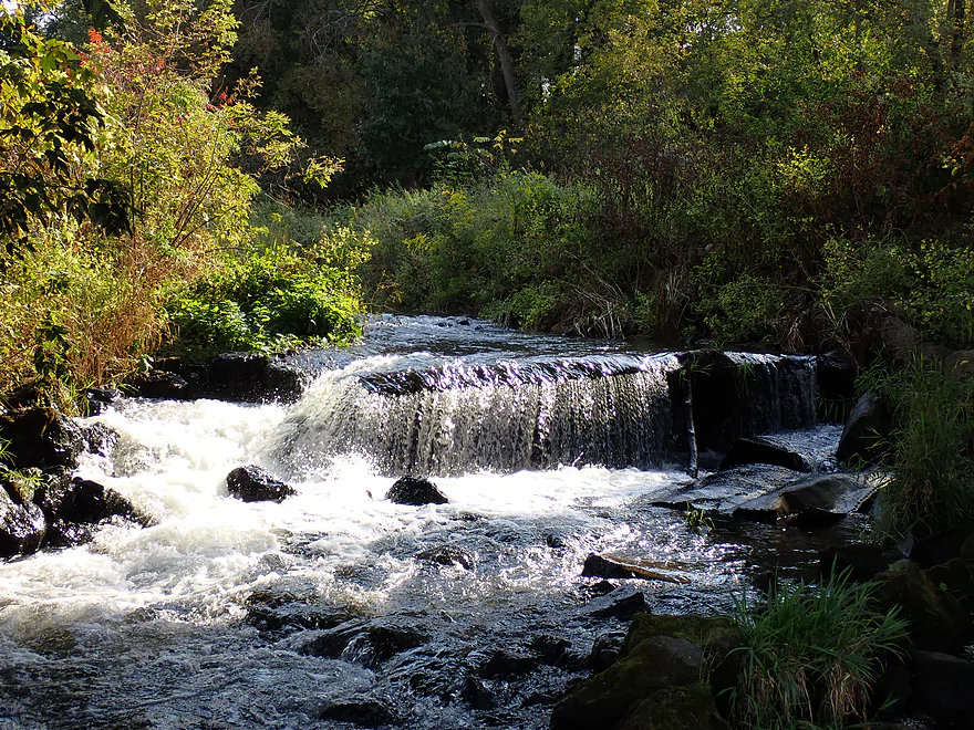
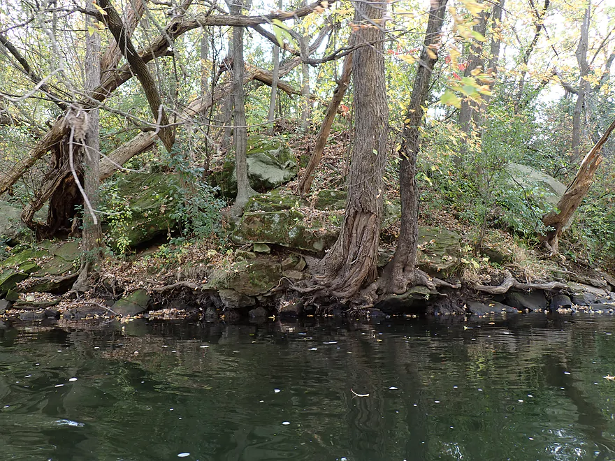
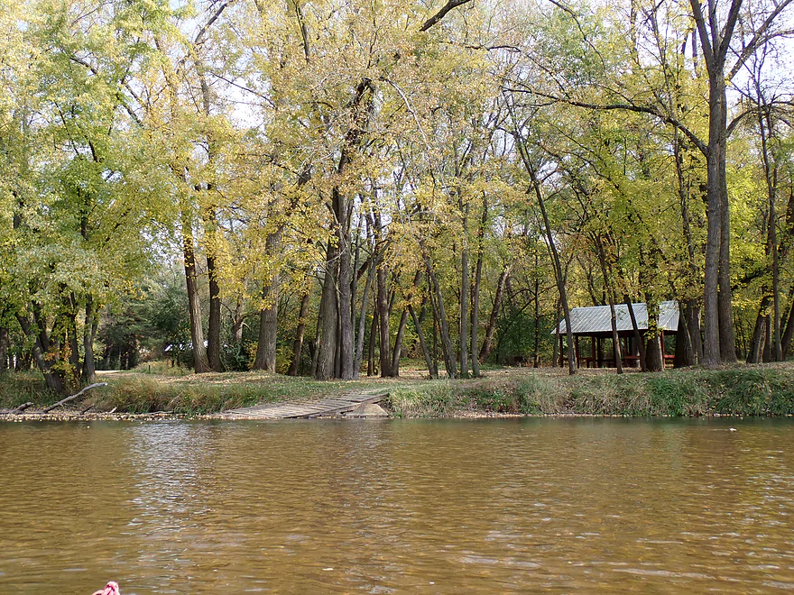
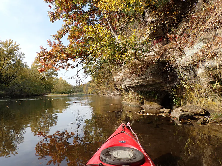
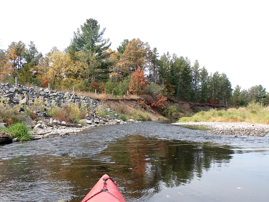
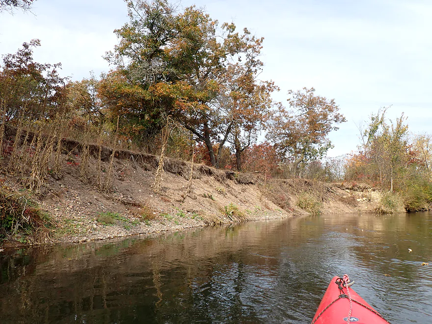
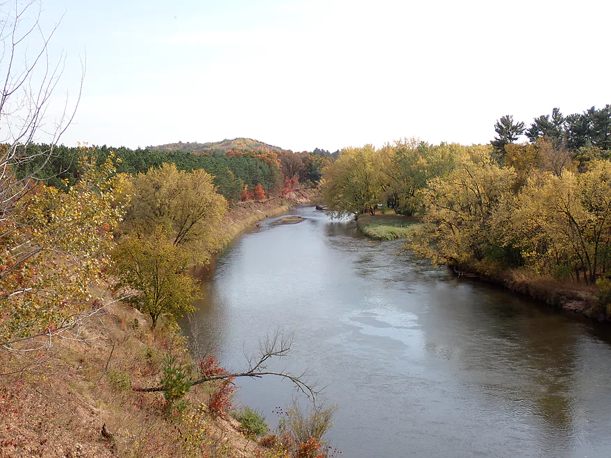
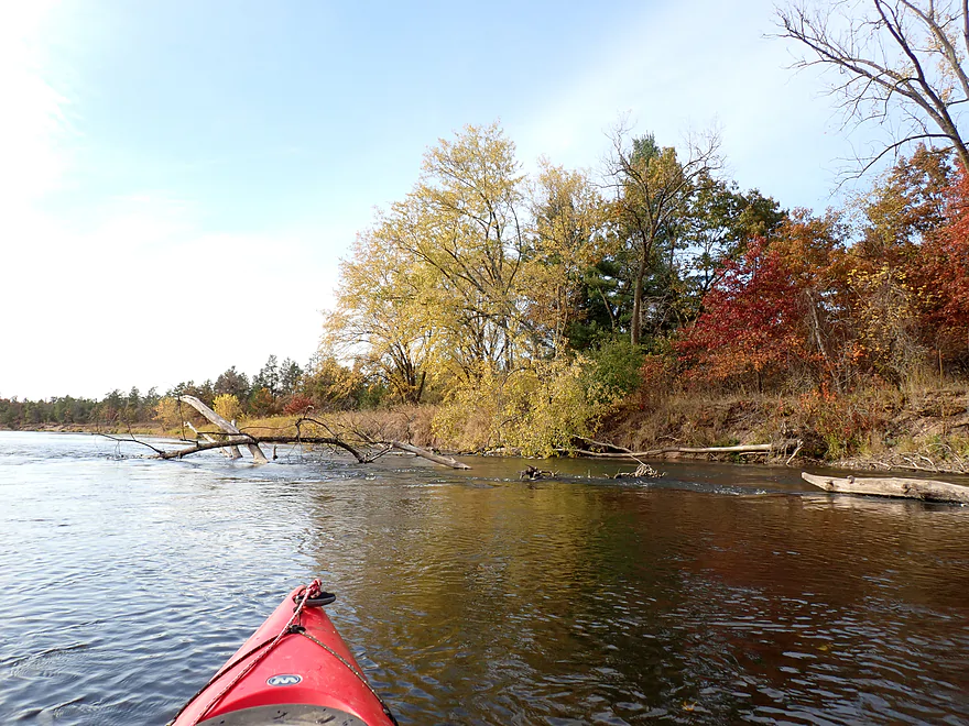
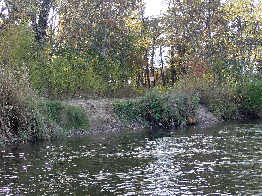
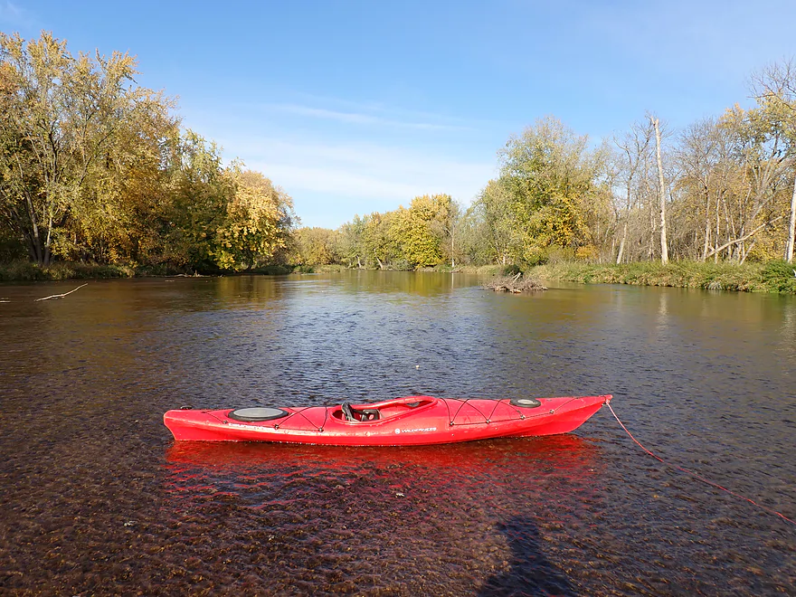
I started in Colfax where there are two landings to choose from. Shorter trips can launch from Felland Park, but for longer trips Tom Prince Landing is a good option (and where I started). Right after launching I passed under Hwy 170 and the mouth of Eighteen Mile Creek where there was a small “waterfall” (well, dilapidated dam). I continued downstream past the community of Colfax, which had mixed scenery. Some was nice, with steep wooded banks and small sandy shoulders…but not so nice was the artificial bank fill and frequent downed trees.
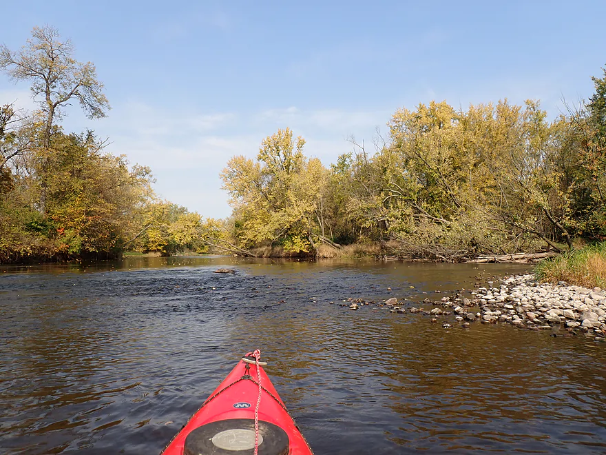
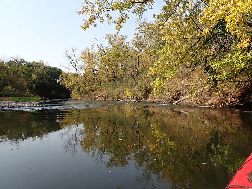
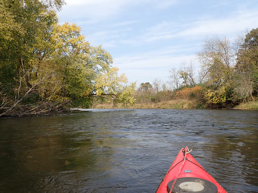
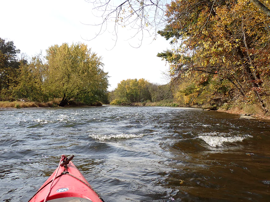
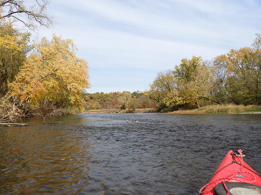
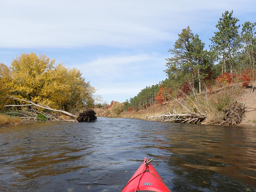
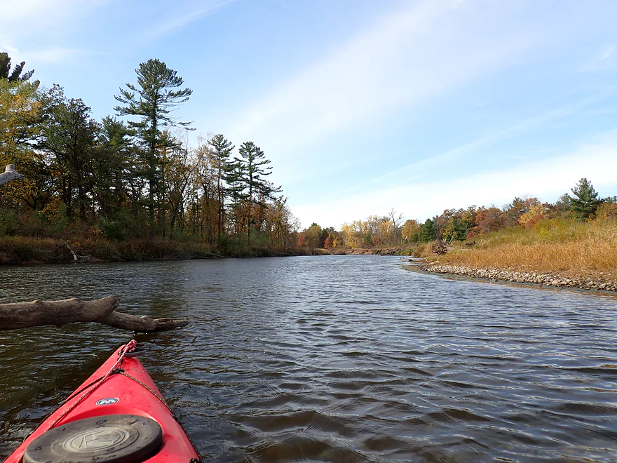
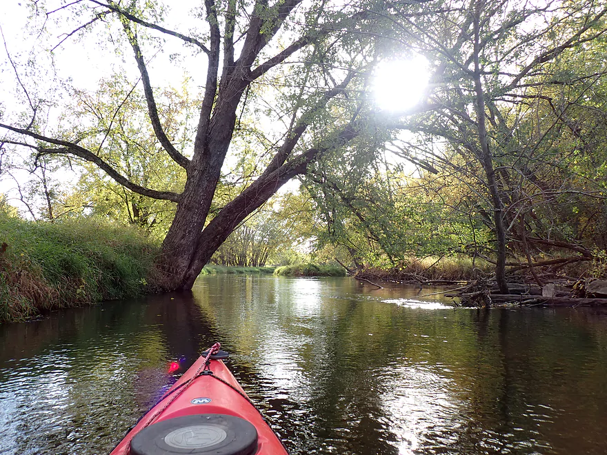
The current was fast, which was especially surprising given the river was low. Light rapids, swirling currents and strainers were common. Most of this was easy to paddle around, but paddlers should be careful and wear their life jacket. About a year ago I heard the story of a kayak that got pinned in a strainer near Colfax, which I find very believable (the boat was later rescued).
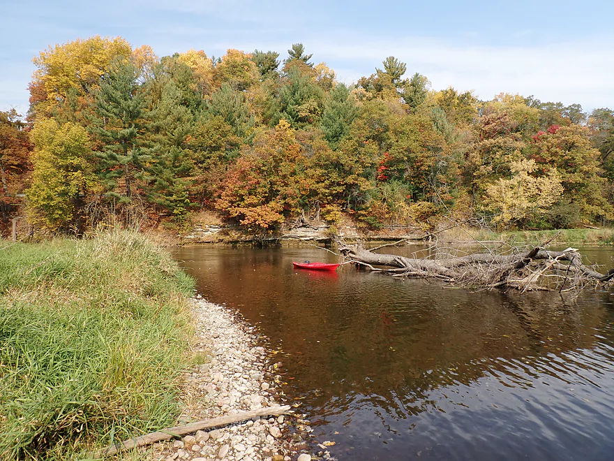
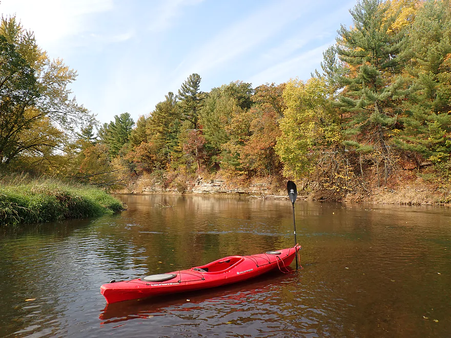
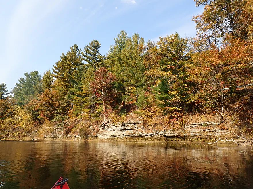
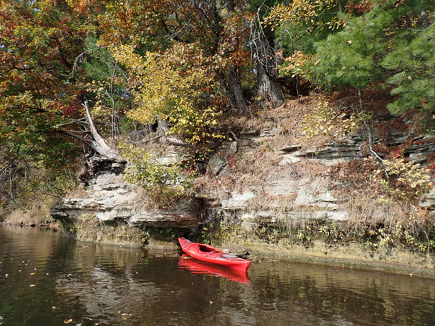
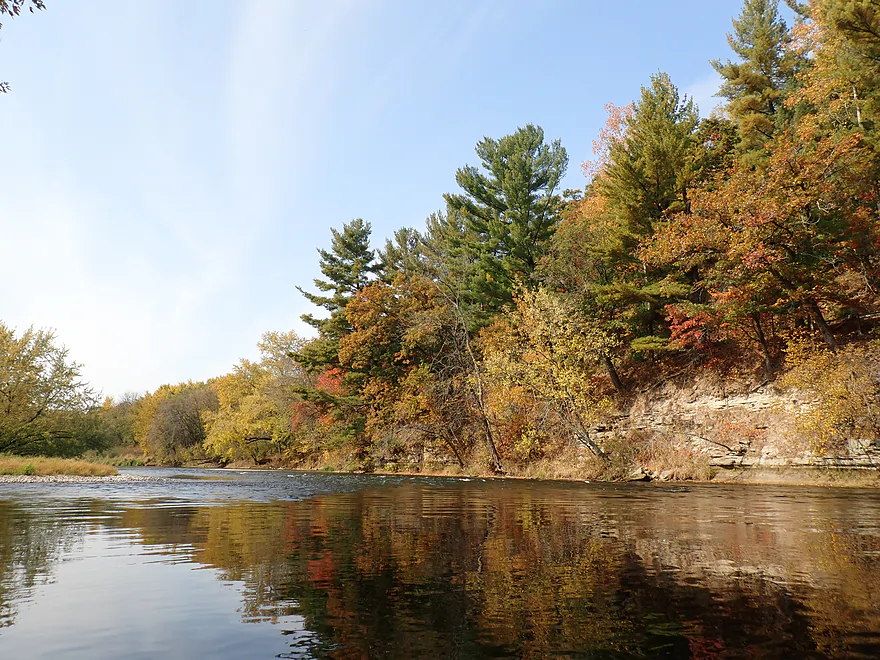
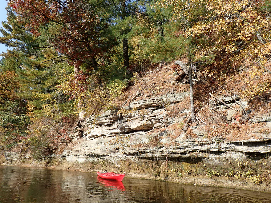
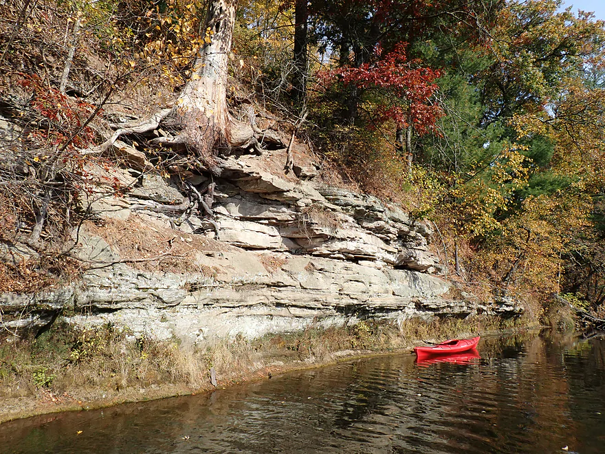
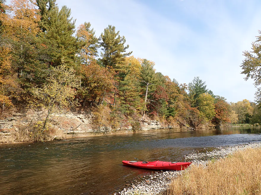
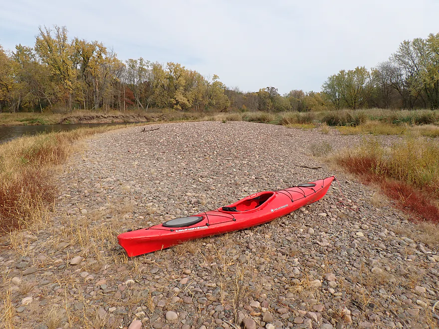
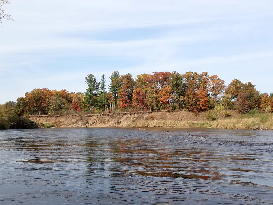
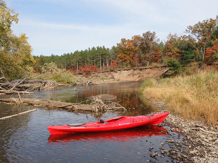
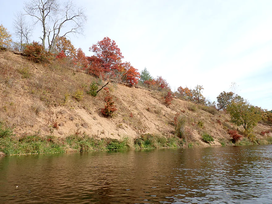
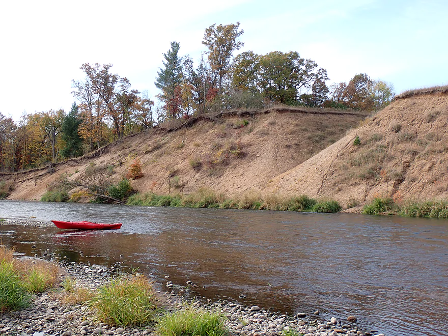
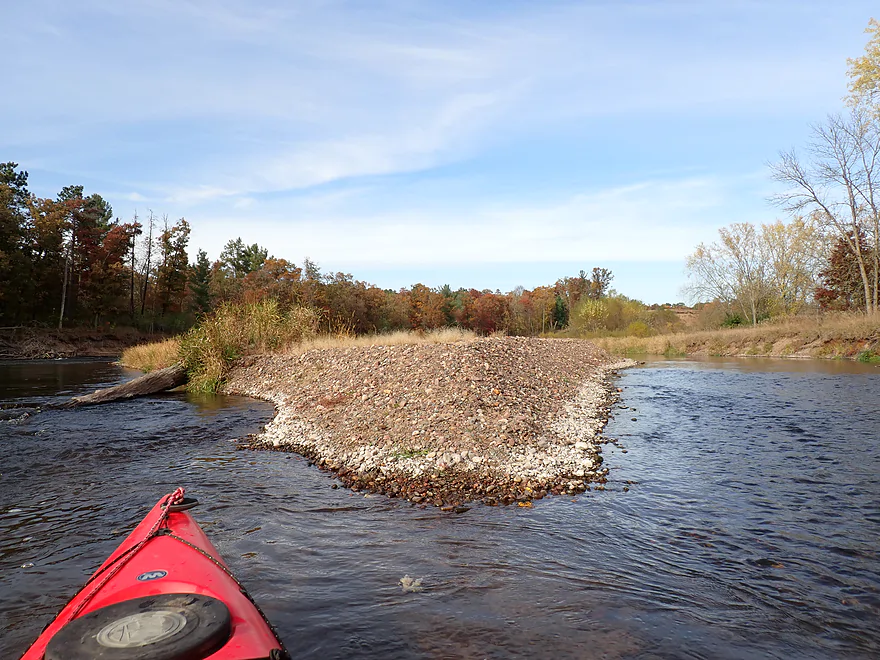
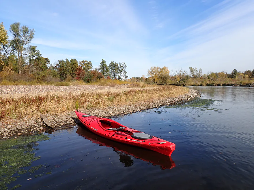
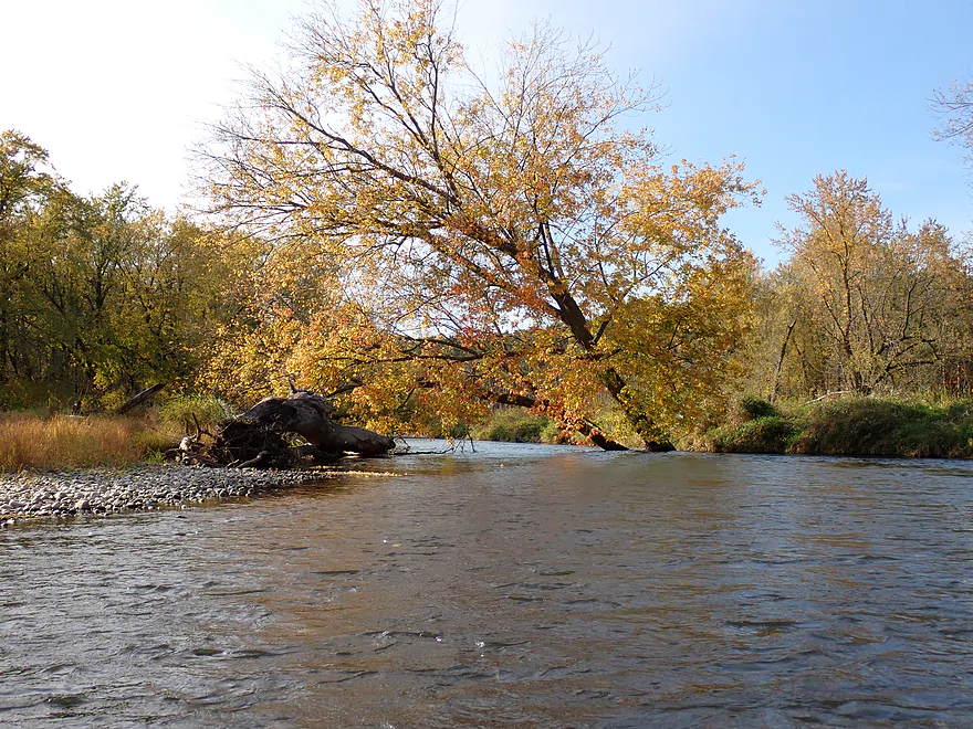
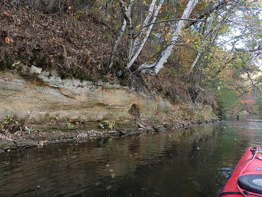
The next landmark was Felland Park, where I had considered launching from, but it actually would have made for a longer bike shuttle. Just downstream from the public launch was a gorgeous set of cliffs topped by pines and oaks turning color. This was followed by a fun pitch of rapids and an attractive gravel bar.
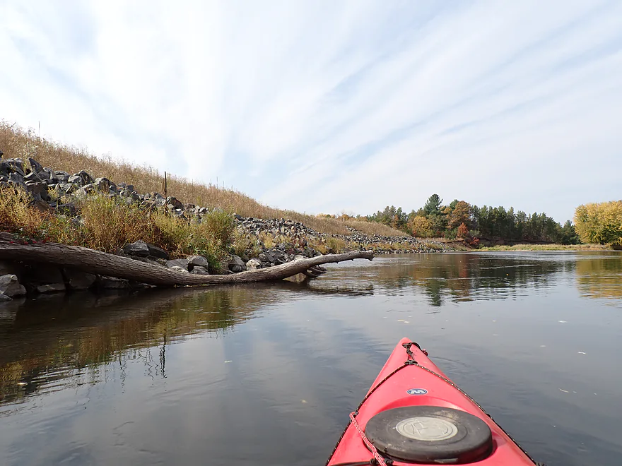
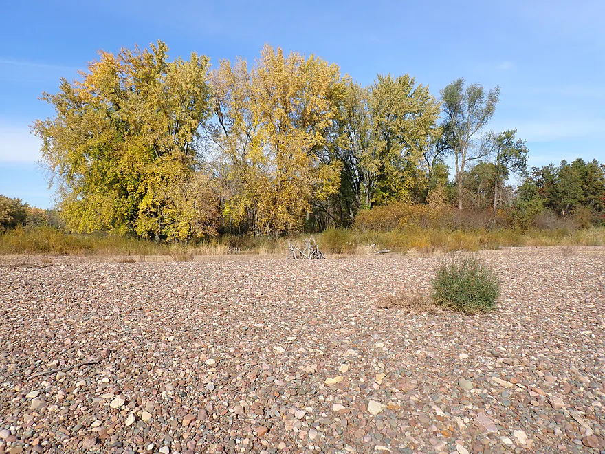
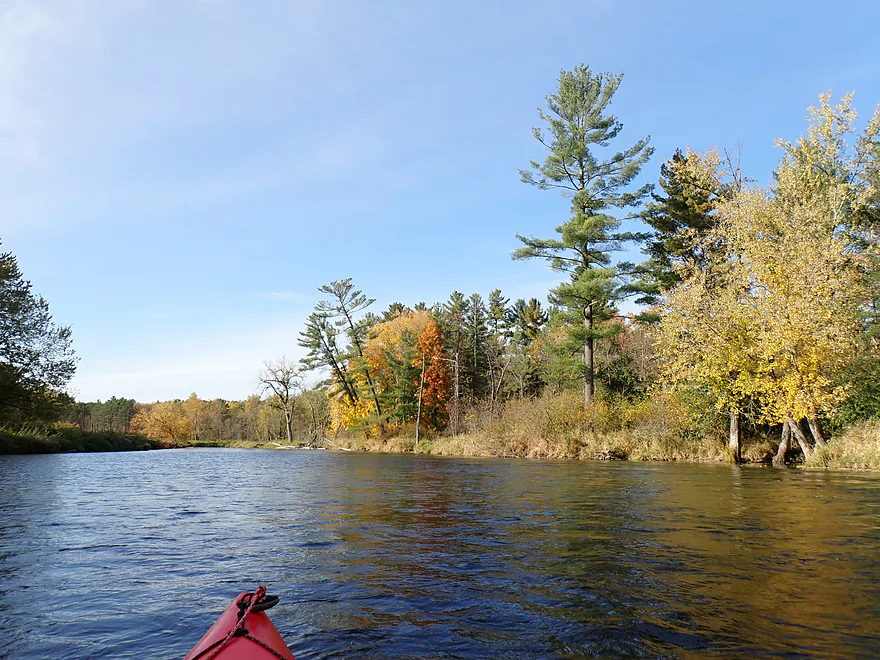
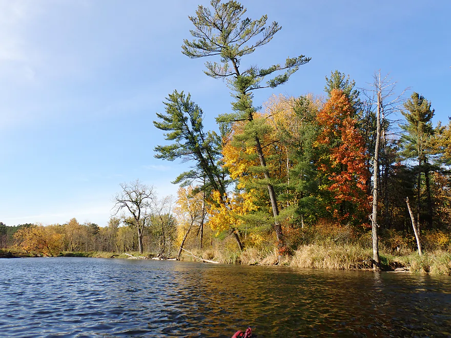
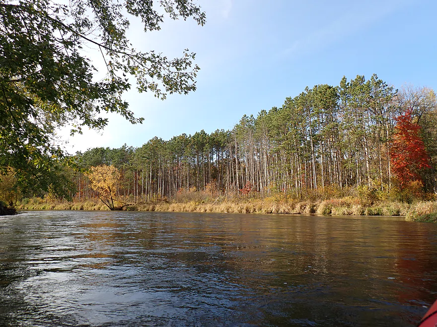
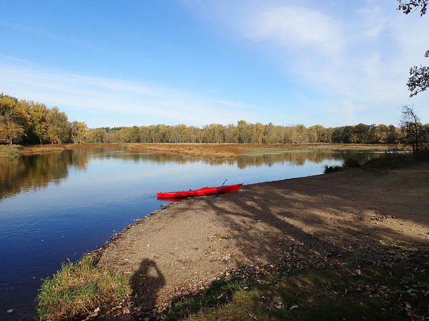
Along the left bank was a massive rock-filled dike which held back a series of artificial lakes. I’m not sure what these were for but suspect it might have been the local wastewater plant. The subsequent mile had some nice gravel bars and open river scenery. It featured fall color but nothing too impressive. In general I think the Red Cedar just has too many silver maples to be considered an elite fall paddle (not all trees look good in fall).
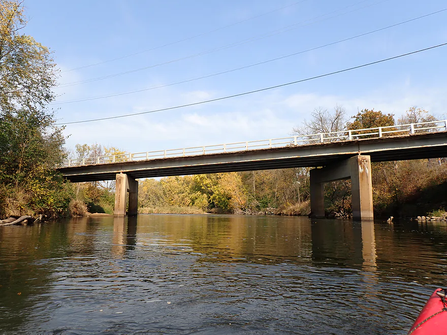
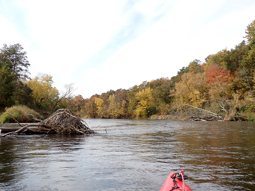
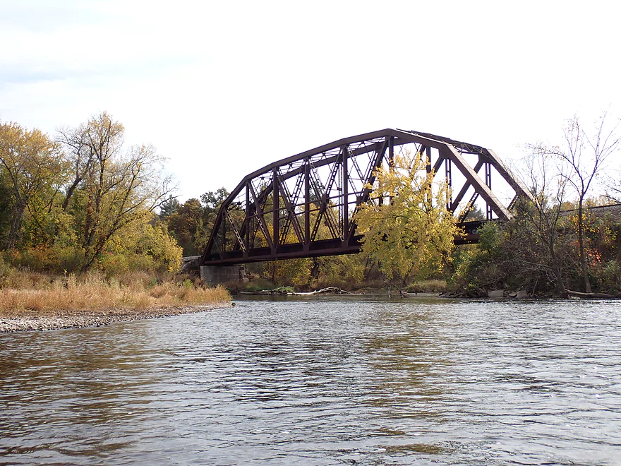
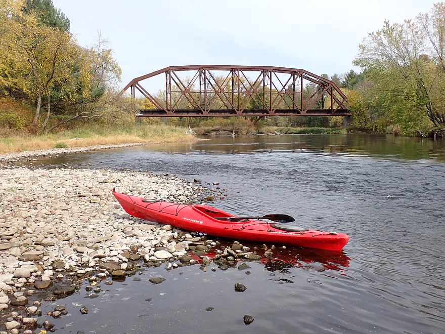
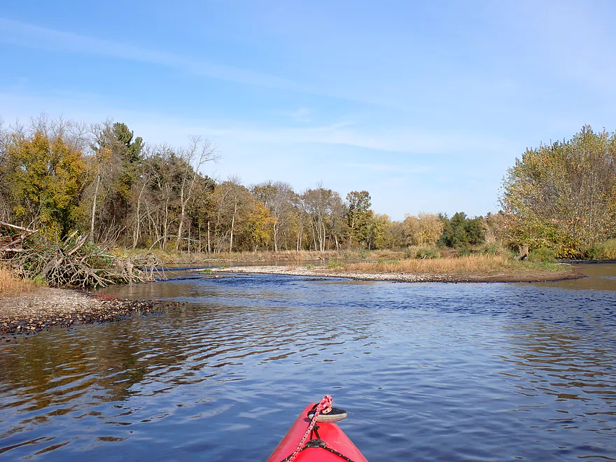
A large historic iron railroad bridge marked the one-quarter point in the trip. Something that surprised me was how brisk the current stayed. I could almost hear the roar of “rapids” just behind or ahead of me. But they weren’t rapids–just the current rushing through the downed trees at high speed. Again…not difficult to navigate around given how wide the river was, but paddlers need to stay on their toes. The worst strainer gauntlets tended to be on the smaller side channels…so you will do well to stick to the main channel. That said, there were “countless” (30+) actual light rapids, but these were all super easy Class 1’s…mostly riffles, really.
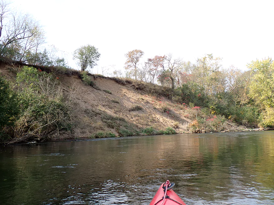
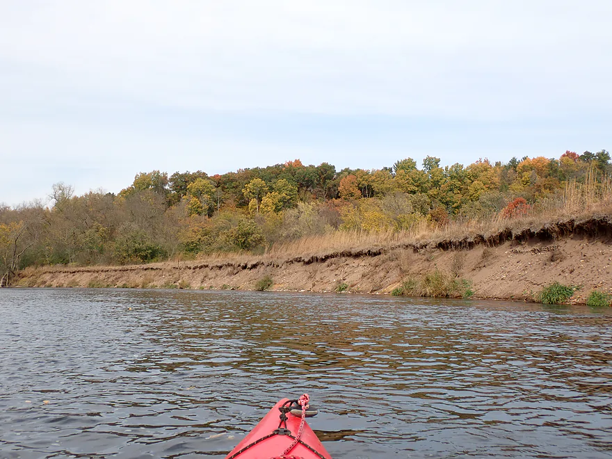
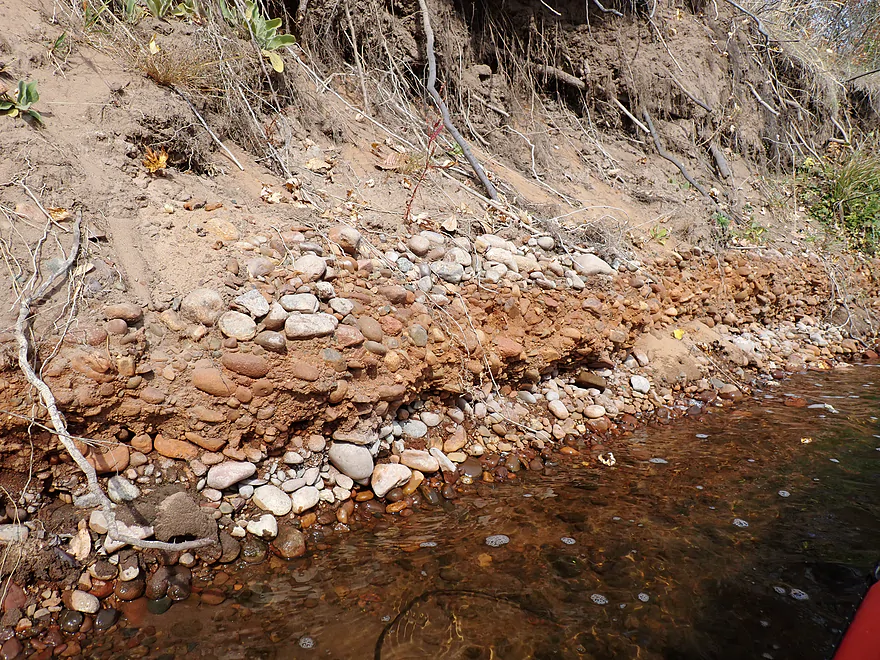
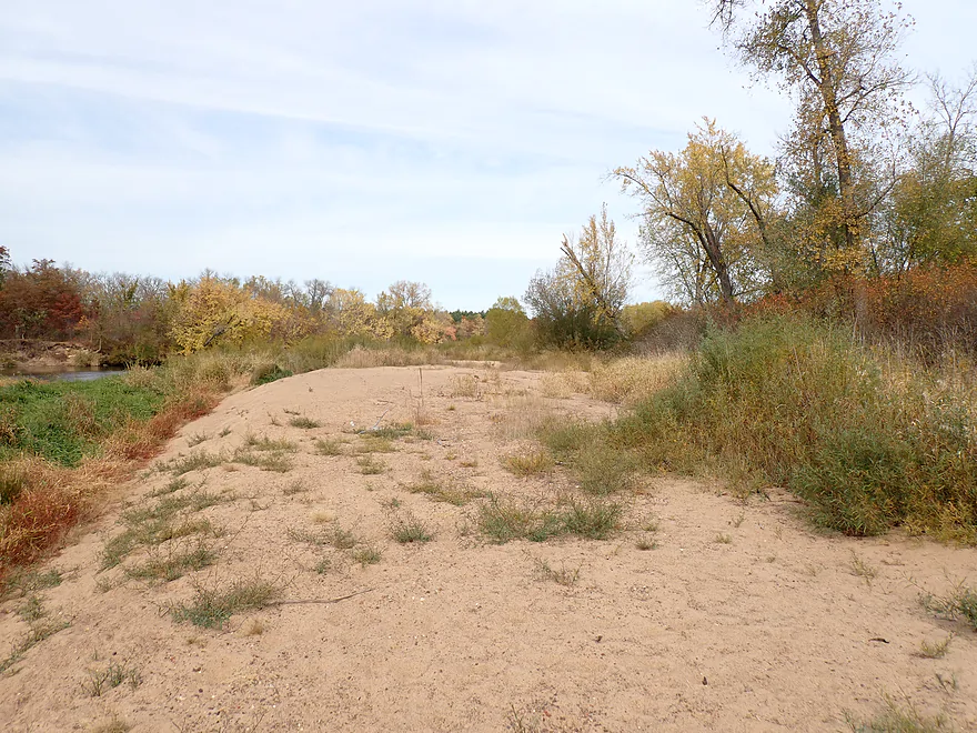
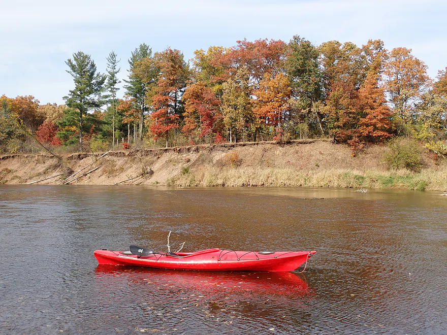
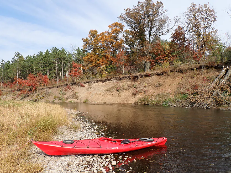
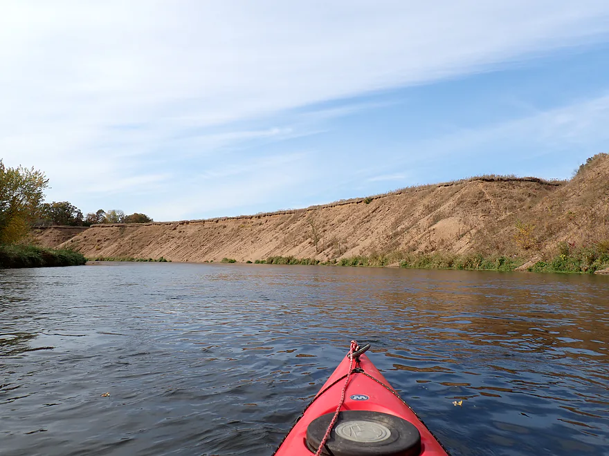
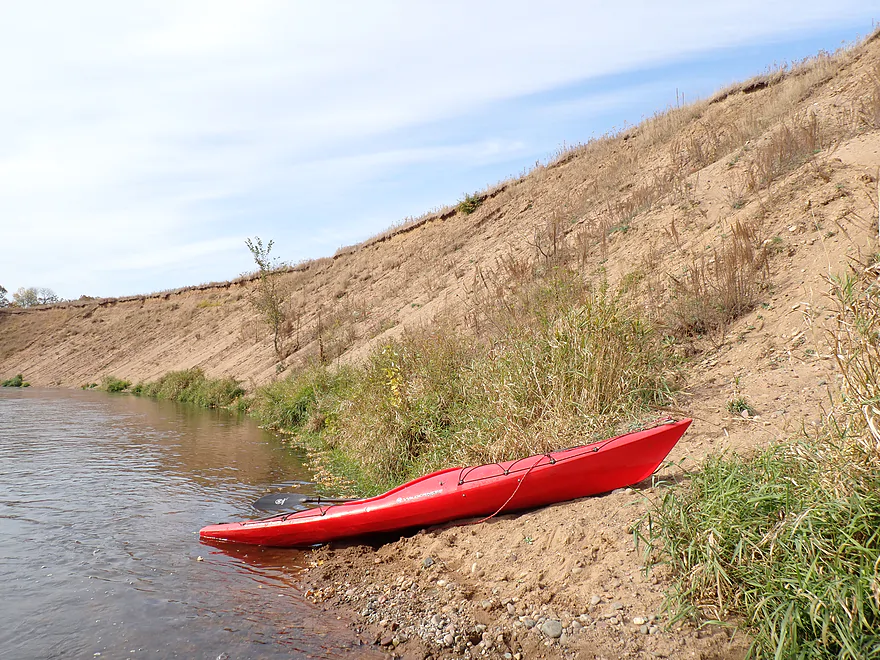
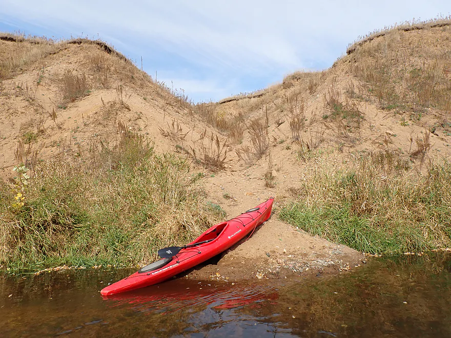
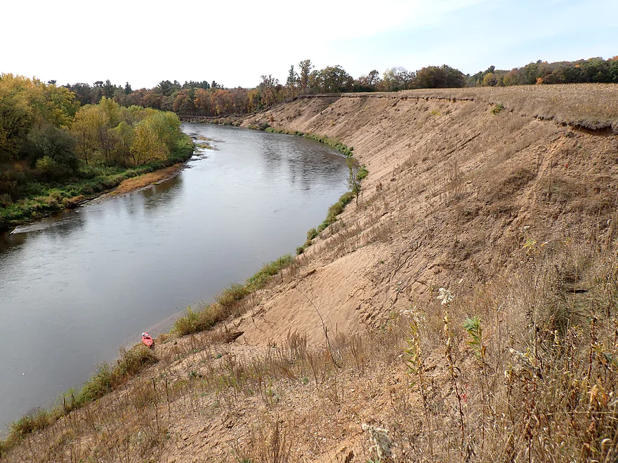
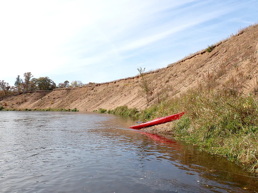
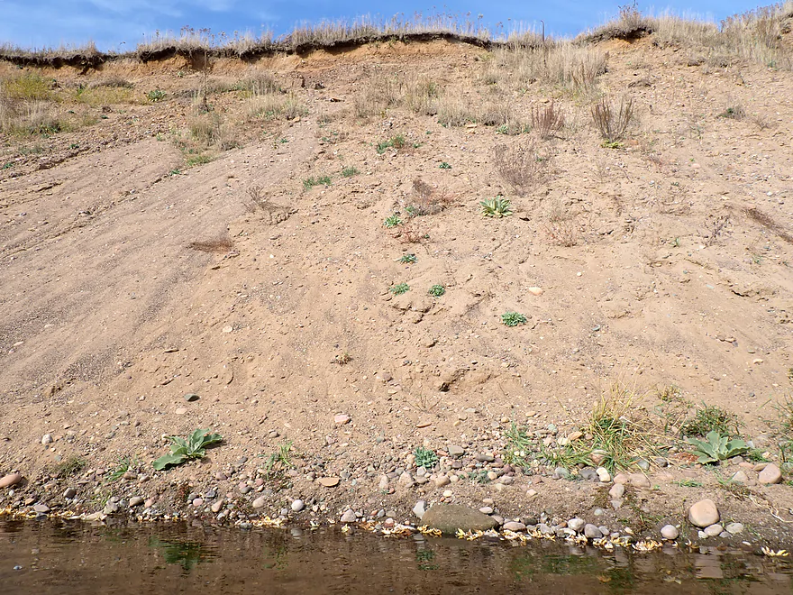
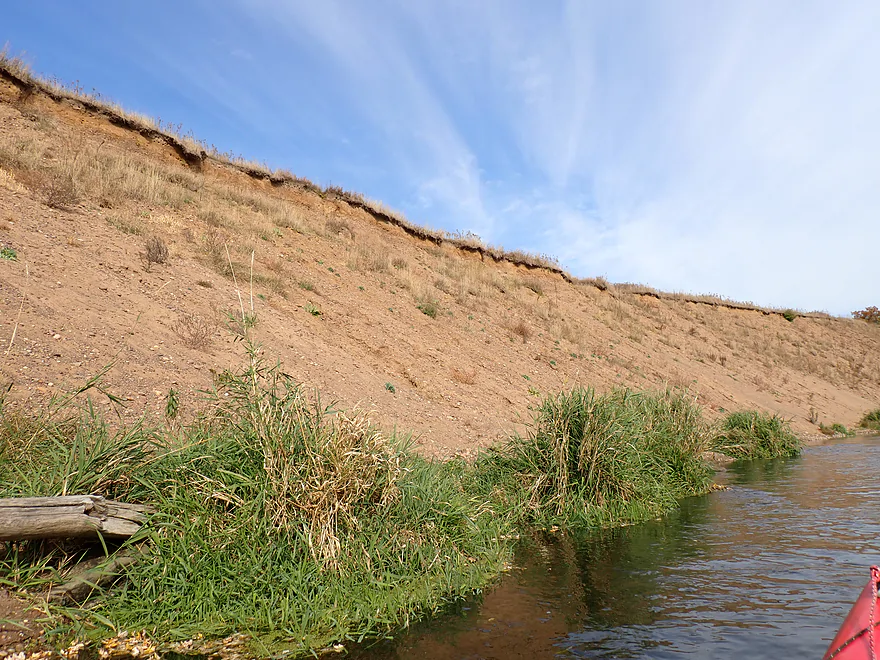
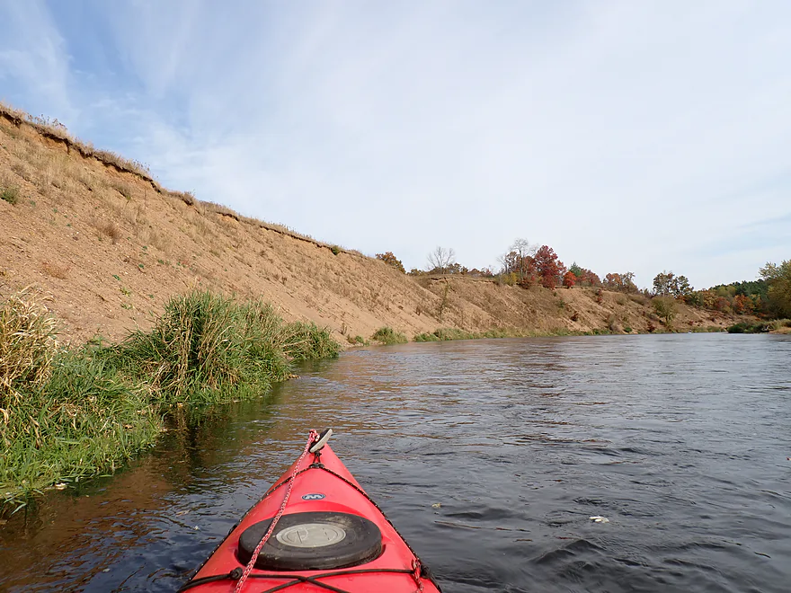
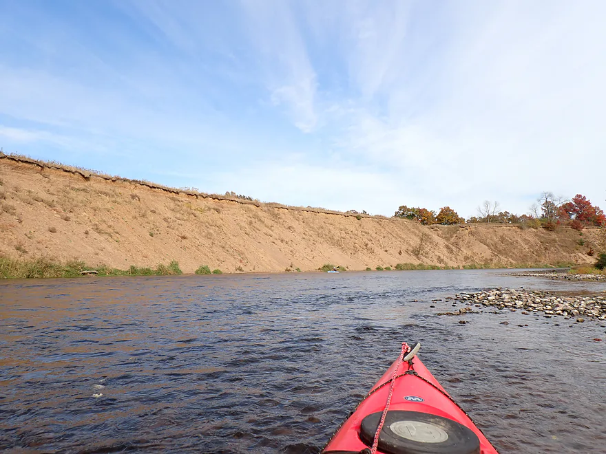
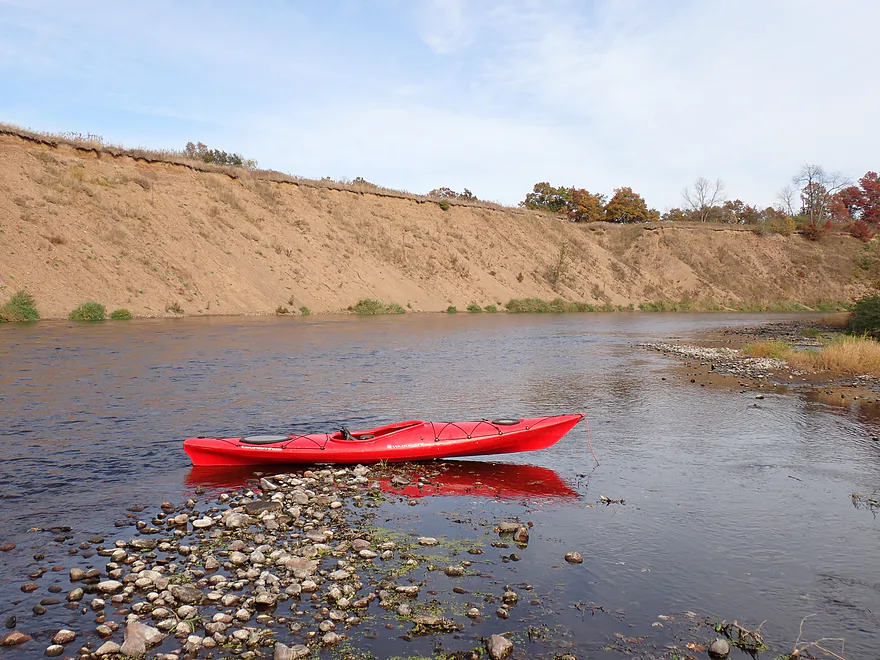
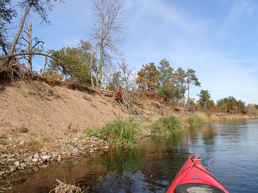
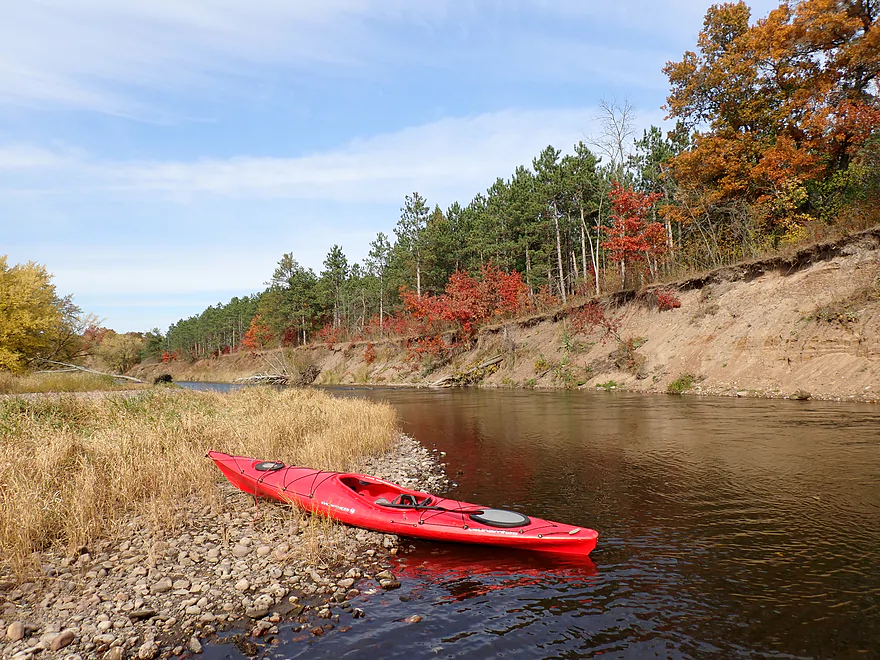
While not as frequent as the gravel bars, there were a number of sandbars which would have made nice picnic stops. In theory I think you could camp on some. The highlight of the trip though were the sand banks. There were a handful…and several were really scenic. The best was located roughly halfway into the trip. Here there was a 50′-tall monster about a quarter mile long. I believe there are several mega sand banks on the Red Cedar, but this might be the largest. Near the east end a rain gully had carved a huge ravine into the cliff. Unfortunately the sand was heavy and gritty with pebbles and plants (not like the clean light sand of Crater Island), but the mega bank was still super cool and the highlight of the trip.
After being passed by another kayaker (also taking a Friday off) I came to Dobbs Landing. It’s an ok public access for those wanting short trips and just interested in seeing the mega sand bank. Unfortunately the dirt access road to Dobbs Landing is long and in poor shape.
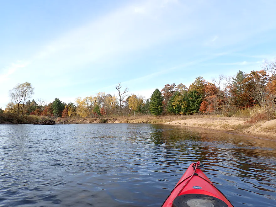
The last quarter of the trip flowed past the “Red Cedar River Savanna State Natural Area“. This was a sandy, drier stretch with more open but still attractive scenery. Soon the river fractured into side sloughs and islands. Most smaller channels couldn’t be explored as they were blocked by downed trees. Paddlers should be careful as the take-out is on the east end of a series of three islands. I missed my “off ramp” and had to backpaddle upstream to reach my landing. Russian Slough Park was a good access and a nice way to end the trip.
In summary this was a pleasant trip with good current, attractive gravel bars, a great outcrop and great sand banks . But there were also some ho-hum stretches, and I likely would have given the trip four stars…except for the massive quarter-mile long sand bank which justified the fifth star. I look forward to returning to the Red Cedar for more trips in the future.
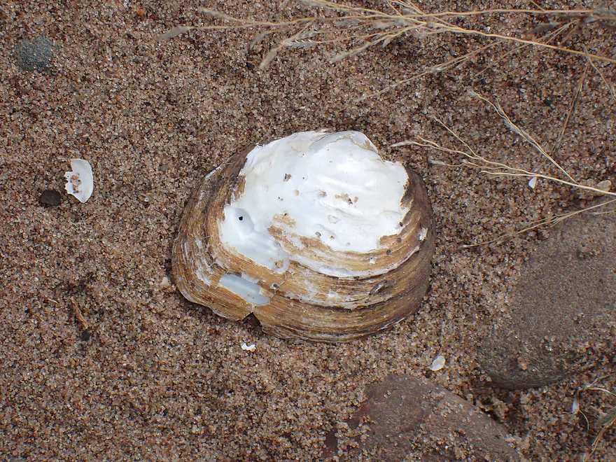
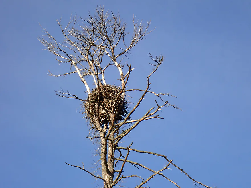
Sights included some clam shells, a few dragonflies, one large muskrat lodge, some flopping fish, one grouse, and a family of eagles getting hounded by a huge flock of upset crows.
Colfax Rail Museum: This is a small rail museum in the town of Colfax. Sights include historic rolling stock and a small museum. For comparison, it’s not nearly as large or as impressive as the North Freedom Railroad Museum, but it is still nice.
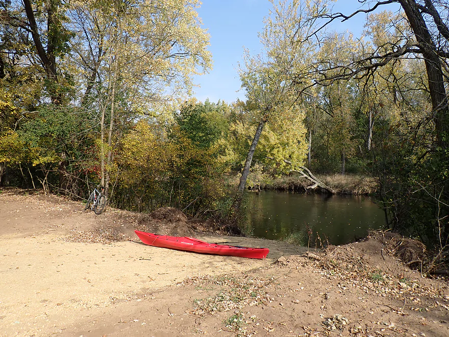
Tom Prince Memorial Park Landing: Colfax actually has two launches to choose from. Tom Prince Landing is the upstream landing that allows for slightly longer trips. The launch area is in a nondescript and open area with gravel dumped everywhere…but it’s plenty practical.
Alternate Put-ins:
- Felland Memorial Park (1.3 miles downstream from Tom Prince): This is a nicer and more scenic access than Tom Prince. It also allows for a shorter trip if that is your preference. Between the two Colfax landings is a mile-long leg of the river with fast current and ok scenery…but it’s not anything special.
Russian Slough County Park: This is a good public access and is somewhat secluded, although it can be popular on summer weekends. From 860th Ave you have to turn off onto a one lane 900′-long dirt road to reach the access. Signs will mark the way.
Alternate Take-outs:
- Dobbs Landing (2.1 miles upstream from Russian Slough): This is an ok public access, but you have to drive over a long and rough dirt road to reach it. The landing is located just downstream from “the great sand bank”.
- Champney Park Boat Ramp (1.4 miles downstream from Russian Slough): This bonus leg would include the last stretch of river before it empties into Tainter Lake. Much of it flows through a large river delta. Be advised that Champney Park Boat Ramp sometimes gets sealed in by aquatic weeds. Scout before using.
Bike Shuttle – Tom Prince to Russian Slough: 5.4 miles with 98′ of ascent. There is some minor gravel to deal with on the Russian Slough access road. Otherwise this is an easy bike shuttle with attractive rural scenery.
Wind: Much of this trip is open, so you should be mindful of strong forecasted headwinds.
Logjams: Almost none. Just prior to the main series of large sand banks, there is a minor logjam that you can kind of scooch around. Otherwise it is an easy portage because of the adjacent gravel bar.
Current/Rapids: The current was at times shockingly fast. There are about 30+ pitches of minor Class 1 rapids. It’s all pretty easy for intermediate paddlers, but you should be careful to stay away from the downed trees.
Strainers: This leg had a large number of strainers. The current flowed through them so fast, I could almost always hear them no matter my location. Typically, the river is wide enough you can simply paddle around the downed trees. But if you’re not paying attention they would be VERY unforgiving. When approaching an island, choose the main channel, as typically the smaller channels have the worst strainers. High water will definitely make the river more dangerous…definitively a leg to wear your life jacket on. I did read an online account of some kayakers who got pinned by a downed tree in Colfax and had to come back later to rescue their boats.
River Gauge: Red Cedar River @ Colfax
River Trip Depth: 571 CFS or 2.84′
River Navigability Estimates: Not to repeat myself, but this is a deceptively dangerous leg because of all the strainers. Typically they are easy to paddle around, but a few spots require quick maneuvers to get around. Remember, the higher the river is, the stronger and more dangerous the current is.
- < 400 CFS: Still navigable…river rarely gets this low though.
- 401-600 CFS: Good depth…typical for fall.
- 601-800 CFS: A bit high…a common summer depth, but you won’t see as many gravel bars. River will be pushy in spots.
- 801-1200 CFS: High depth…only recommended for expert paddlers because of all the strainers.
- 1201+ CFS: Maybe too high…at this point, despite the width of the river, paddlers might find it difficult to get around the downed trees.
Click here to see an overview map of the Red Cedar River.
- Upstream from Rice Lake: The river is navigable, but shallow and boggy. Further upstream is Red Cedar Lake and a chain of natural lakes. You could likely kayak the lakes, but they are heavily developed and it might be a lot of open water paddling.
- Holsom Riverside Park/Rice Lake Dam to Shudlick Park: 0.7 miles. Ok stretch through the town of Rice Lake.
- Shudlick Park to South Street Access: 0.9 miles. Mediocre stretch that flows past two community colleges.
- South Street Access to Sawyer Landing: 3.8 miles. A pleasant stretch with some development.
- Sawyer Landing to Hwy W Access: 4.5 miles. Slower current…road noise from Hwy 53 can be an issue.
- Hwy W Access to Hwy OO Access: 6.1 miles. Mediocre stretch with some development. The Yellow River adds significant volume to the Red Cedar.
- Hwy OO Access to Hwy D: 4.6 miles. Long quiet stretch per author Mike Svob.
- Hwy D Access to County Road I Landing: 3.0 miles. Features some outcrops and high wooded banks.
- County Road I Landing to 2 3/4 Ave Access: 4.0 miles. A mediocre leg along a mix of woods and farm fields. The Chetek River adds significant volume to the Red Cedar.
- 2 3/4 Ave Access to Pike Lake Access: 4.1 miles. Stretch features a few nice sandstone cliffs.
- Pike Lake Access to Myron Park: 1.1 miles. Short stretch with one long island and a possible cliff.
- Myron Park to Sand Creek Park: 2.5 miles. Features some rock outcrops and many islands.
- Sand Creek Park to Seasonal Wayside Rest Area: 2.5 miles. Wider and slower leg.
- Seasonal Wayside Rest Area to Popple Creek: 4.8 miles. Ok stretch that is flatter and more open with few hills.
- Hwy W/Popple Creek to Twenty-Two Mile Ford Park: 5.7 miles. Likely not as good as the subsequent leg, this is still a good prospect with some nice hills and exposed sand banks.
- Twenty-Two Mile Ford Park to Tom Prince Memorial Landing: 7.0 miles. One of the best legs on the river with nice bluffs and outcrops. Warning: the combination of fast current and downed trees creates a number of tricky strainers. Be careful…especially on the side sloughs or when water levels are higher.
- Tom Prince Memorial Landing to Russian Slough Landing: 7.7 miles.
- Tom Prince Landing to Felland Memorial Park: 1.3 miles. A fast leg through the community of Colfax. Scenery is ok with some exposed river banks, but isn’t anything special.
- Felland Memorial Park to Dobbs Landing: 4.3 miles. A terrific leg with several attractive sand banks (including one huge one), an attractive outcrop, many small gravel bars, some sandbars, and a scenic railroad bridge.
- Dobbs Landing to Russian Slough Landing: 2.1 miles. Not as scenic as the previous leg, but pleasant with more open scenery followed by some slough side channels. Be advised the take-out is on the other side of an island so don’t miss your exit .
- Russian Slough Landing to Champney Park Landing: 1.4 miles. Here the river flows through a large delta and then empties into Tainter Lake. Be advised Champney Landing sometimes gets sealed in by aquatic weeds and may not always be usable. Scout before using.
- Champney Park Landing to Red Cedar Dam: 11.7 miles. Mostly uninteresting flowage paddling.
- Champney Park Landing to Lambs Creek Park: 2.7 miles. This is in essence Tainter Lake. Most of the shoreline is heavily developed and I suspect this would be an uninteresting paddle. There are alternate landings on the north shore.
- Lambs Creek Park to Kleist Boat Landing: 1.2 miles. The river narrows, but this is still mostly lake paddling.
- Kleist Boat Landing to Cedar Falls Dam: 1.7 miles. There are some nice cliffs above the dam, but this is mostly lake paddling. Be advised access by the dam might be very difficult if not impossible. I’m not even sure if a portage would be possible.
- Cedar Falls Dam to Cedar Falls Boat Landing: 0.5 miles. This is a nice stretch with steep wooded banks, boulders and some rapids. But again, access by the dam or portaging might not be possible.
- Cedar Falls Boat Landing to 670th Ave Access: 0.7 miles. This is likely a nice stretch, but the current will soon slow as the river transforms into another flowage. Be advised you must take a side slough to reach the 670th Ave Access.
- 670th Ave Access to Wakanda Park: 3.7 miles. This is mostly impounded river and is likely not very interesting.
- Wakanda Park to La Pointe Park/Red Cedar Dam: 1.2 miles. Lake Menomin is a big lake and not ideal for kayaking. There are multiple access options on the lake not listed here.
- Red Cedar Trail Dam Access to River Road Access: 0.8 miles. Likely a fun stretch with a number of rapids. There is also a historic railroad bridge. Note, access northwest of the dam by the trail is speculative. I know you can park there but am unsure if the bank is too steep for launching. If you know more, leave a comment below.
- River Road Access to Dunville Boat Landing/Hwy Y: 15.2 miles. The most popular stretch of the river for kayakers.
- River Road Access to Riverside Park: 0.1 miles. Short stretch between landings under the Hwy 29 bridge. Riverside Park is likely the nicer access.
- Riverside Park to Irvington Access: 3.1 miles. Highlights include dense wooded banks and a few micro-rapids. There are small spring seeps that descend over exposed bedrock. The Devil’s Punchbowl can’t be seen from water, but it’s worth hiking up to as it is a scenic waterfall descending over an exposed cliff face. Make sure to mark it on your GPS.
- Irvington Access to 420th Street Bike Wayside: 1.9 miles. Section includes a very small waterfall.
- 420th Street Bike Wayside to Downsville/Hwy 25: 3.5 miles. Highlights include a historic railroad bridge, some minor riffles, and an impressive sand bank.
- Downsville/Hwy 25 to Dunville Boat Landing/Hwy Y: 6.6 miles. The river opens up with less woods and more expansive scenery. Occasional vistas of the Chippewa Bluffs can be seen in the distance. This should be a good leg.
- Dunville Boat Landing/Hwy Y to Mouth on Chippewa: 1.1 miles. Last leg before the Red Cedar joins the Chippewa River.
- Chippewa Take-out Options:
- Mouth upstream to Dunville Road: 1.0 miles. This would require some upstream paddling but would go past a massive and really nice sandbar. Take-out is conveniently close to the Red Cedar State Trail for bike shuttlers.
- Mouth downstream to Hubbard’s Landing: 2.8 miles. Nice leg with monster-sized sandbars…however the take-out is on the south shore of the Chippewa which may translate into a long shuttle.

