La Crosse River
This is a mediocre river…not as good as neighboring Robinson Creek, the Black River, or the Kickapoo…but better than the Baraboo River or Lemonweir.
Trip Reports
Hwy BB to Memorial Park
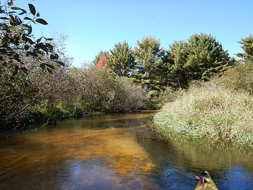
Date Paddled: October 2nd, 2015
Distance: 7.1 Miles
Time: 3 hours 45 minutes
An obscure paddling prospect but pleasant, with no log jams, great water clarity, good current and a clean sandy substrate.
Fishermans Park to Hammer Road Bridge
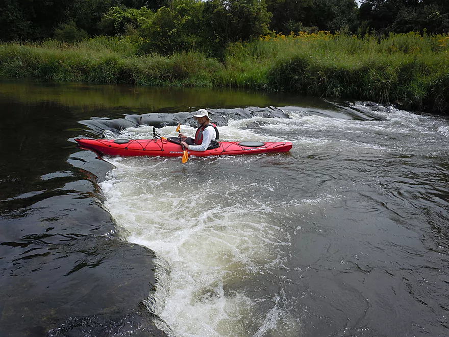
Date Paddled: August 17th, 2014
Distance: 5.36 Miles
Time: 4 hours 47 minutes (atypical...expect 2-3 hours)
A pleasant five-mile paddle originating in the city of Sparta. The La Crosse River has a great recipe for paddlers in swift clear water, fun ledges, and is nestled in an attractive setting. Put-in: You will have a bevy of options for putting in, with almost contiguous green space access from Memorial Park to Fisherman’s […]
Read More...Public landing by Hwy 108 to Veterans Memorial Campground
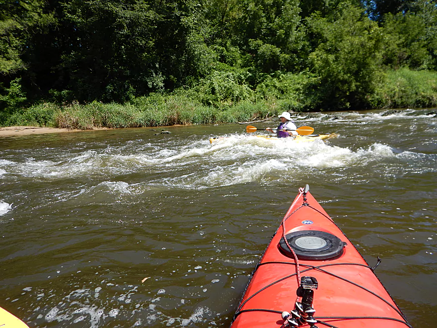
Date Paddled: July 31st, 2016
Distance: 4.2 Miles
Time: 2 hours 58 minutes (2 hours is more typical)
A mediocre trip on the La Crosse. A few fun rapids and a hidden sandstone coulee are the highlights.
Read More...Veterans Memorial Campground to Holiday Heights Park
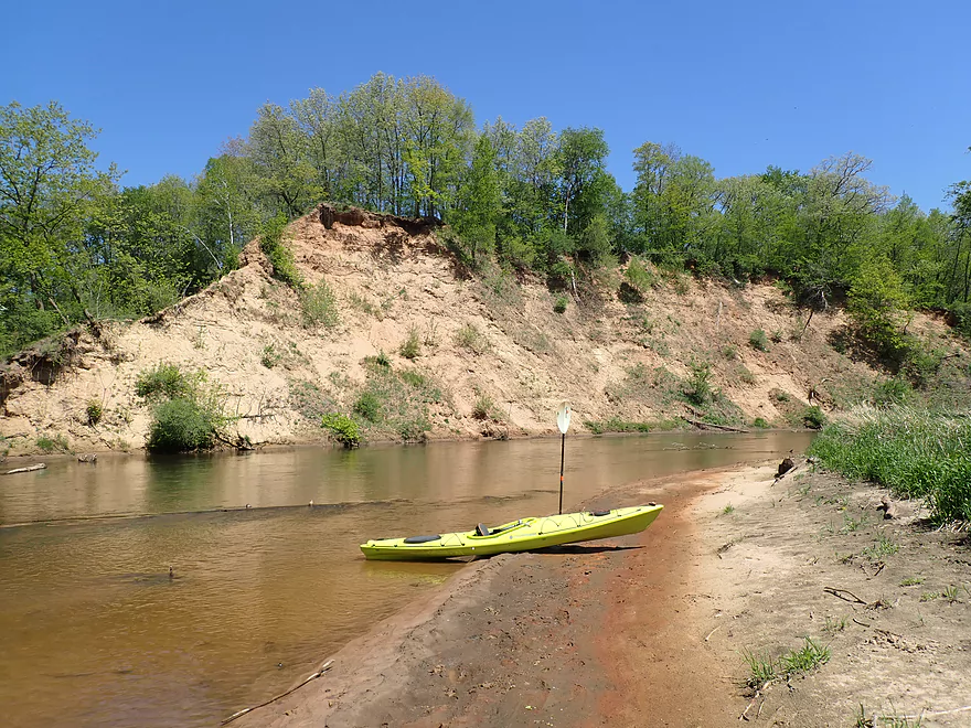
Date Paddled: May 14th, 2022
Distance: 8.6 miles
Time: 3-4 hours
This was a nice trip on the La Crosse River just upstream from the city of La Crosse. The highlight of the trip were some terrific sandbanks.
Read More...Holiday Heights Landing to Riverside Park
Date Paddled: August 15th, 2015
Distance: 6.76 miles
Time: 3 hours 10 minutes (2.5 hours would be more typical)
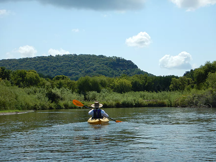
A visit to train and bluff country on the last section of the La Crosse River and then a side adventure on the mighty Mississippi.
Read More...Overview Map
Detailed Overview
- Fort McCoy - Upper Leg: The river looks nice here, but this goes through the heart of military training grounds so is not likely suitable for paddling.
- Fort McCoy - Lower Leg: (2.5 miles) This is technically part of a Federal Army base. You can navigate the river, but only if you register with the Fort McCoy Natural Resources department and follow their rules.
- Squaw Lake Dam to Buckley Ct: (1.4 miles) Very interesting prospect with clear water, one small waterfall, and a few nice Robinson Creek style cliffs.
- Buckley Ct to Hwy BB: (1.1 miles) An ok prospect.
- Hwy BB to Sparta: (7.1 miles)
- Hwy BB to Angelo Wayside: (5.3 miles) Clean sandy water with little development. Ends in a small flowage.
- Angelo Wayside to Sparta/Fisherman's Park: (3.3 miles) Not as interesting...but ok. River widens and has more of a messy feel with more hardwoods.
- Sparta to Hammer Road Bridge: (5.4 miles)
- Fisherman's Park to Ben Bikin Park: (0.4 miles) Nice open stretch though Sparta with some rocks.
- Ben Bikin Park to Amundson Park: (3.5 miles) The most popular and best section on the entire river. Very nice with clean water and good current. As of 2024-04-30, a number of logjams have popped up upstream from Amundsen Park. Some portages will be required.
- Amundson Park to Hammer Road: (1.5 miles) A more wooded stretch. Includes a fun ledge to kayak over.
- Hammer Road Bridge to Hwy J: (5.6 miles) Likely a good prospect...but I bet it isn't as nice as upstream sections.
- Hwy J to 17th Ave: (6.8 miles) Mediocre prospect. Upstream sections are likely nicer.
- 17th Ave to Neshonoc Lake Dam: (6.6 miles) Half the trip goes through a slow flowage. The lake is nice as far as lakes go...but I suspect this is a relatively weak section.
- Neshonoc Lake Dam to Veterans Memorial County Park: (4.2 miles) An ok paddle with some fun ledges and a nice box canyon.
- Veterans Memorial County Park to Holiday Heights Launch: (8.4 miles)
- Veterans Memorial County Park to N. Kinney Coulee Road/I90 Bridge: (2.6 miles) A mediocre stretch with some sandbars and Class 1 rapids under I90, but mostly generic eroded banks that have been heavily straightened by the railroad. Road noise here is pretty loud.
- N. Kinney Coulee Road to Holiday Heights Launch: (5.8 miles) A good leg. Features include fast current, some sandbars, mostly open banks with some nice bluff vistas, and a few really nice sandbanks. Be mindful of strainers in fast current.
- Holiday Heights Launch to Mouth on Mississippi: (6.9 miles)
- Holiday Heights Launch to Hwy B/Earl's Landing: (2.2 miles) A more wooded stretch with mediocre floodplain trees. Train traffic is heavy in this area and chances are good you'll paddle under a moving train.
- Hwy B/Earl's Landing to Mouth/Riverside Park: (4.7 miles) This is a good leg. It's more open and has really nice views of the distant bluffs.
