Kishwaukee River – Belvidere
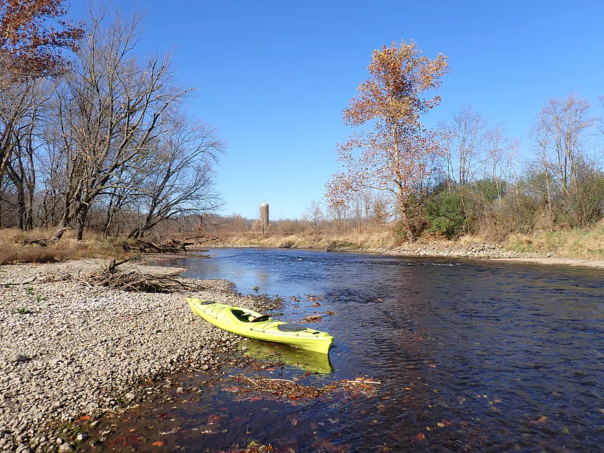


The Kishwaukee is a small tributary that joins the Rock River just east of Rockford. It’s a popular river with Illinois paddlers, but it hasn’t always been so. At one point Illinois landowners claimed the river was their private property and forbade access. The case was taken to court, and in a rare win for Illinois kayakers the Kishwaukee was declared publicly navigable. This was extraordinary as typically Illinois rules that only monster-sized rivers are “navigable” (defined historically and somewhat outdated by steamboat viability).
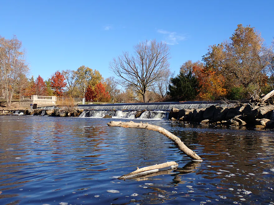
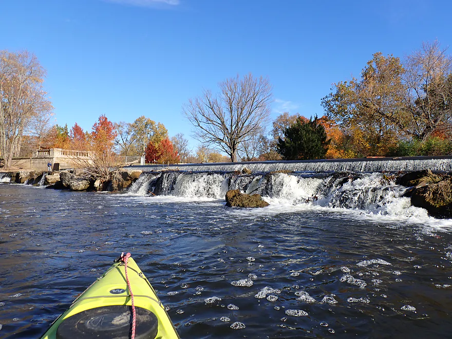
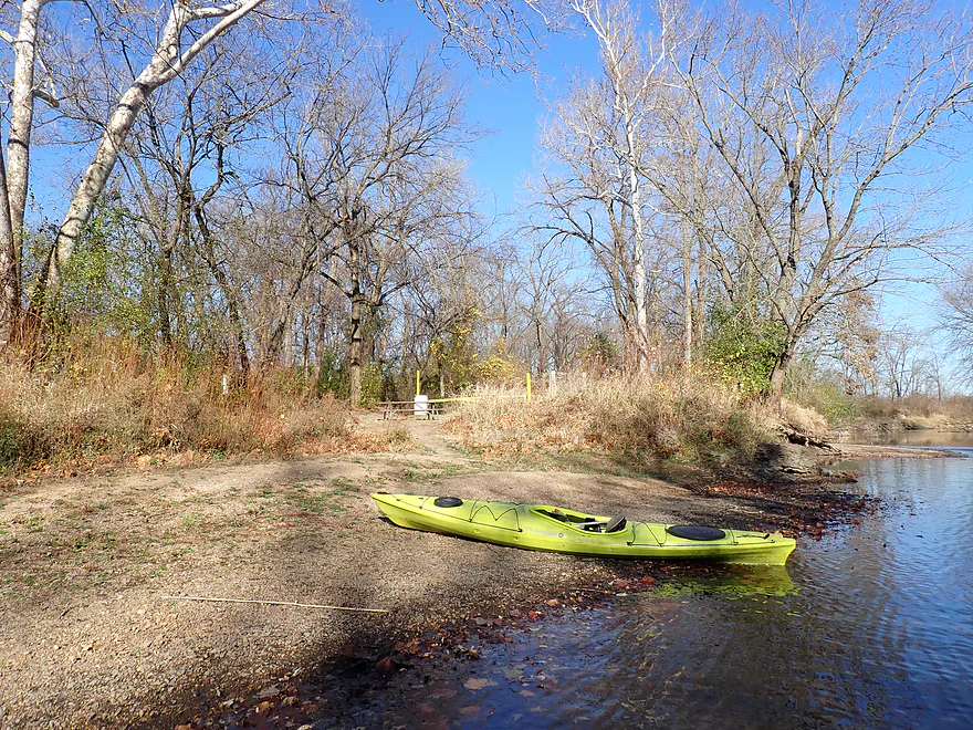
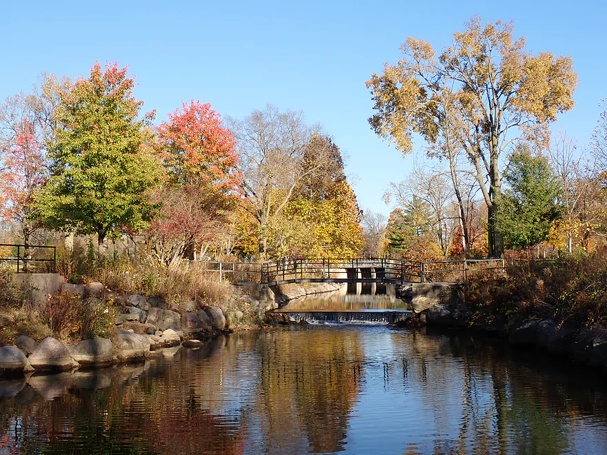
For this trip I had many legs to choose from, but opted for the stretch below Belvidere, which was recommended by paddling author Mike Svob. I launched from the beach below the dam, which was a nice put-in. The dam itself was scenic, with two ledges and a boulder field at the bottom (likely to reduce erosion and backrollers).
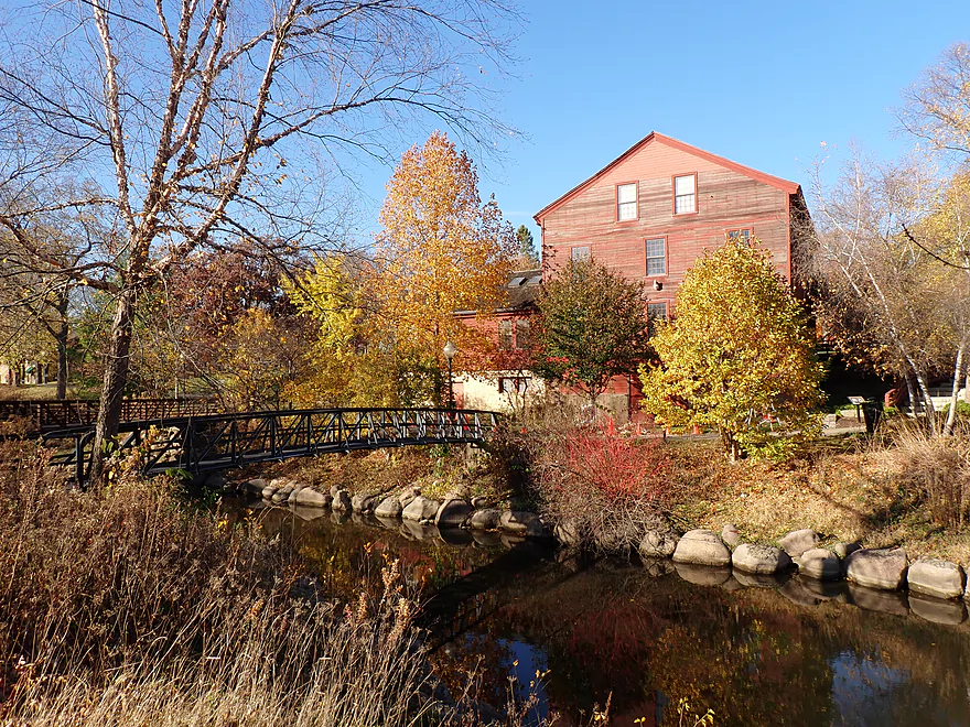
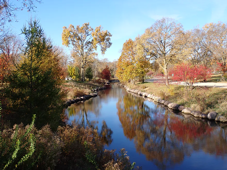
A significant half mile-long mill race splits off from the dam and flows through Belvidere Park. My hope was to actually paddle it, but I discovered it just wasn’t navigable (there are several ledges and obstructions). Regardless, it was ridiculously photogenic and worth checking out (a park path parallels the stream and provides great vistas). The banks are lined with artificial but attractive rock fill, trees arched over the creek, and there is a historic mill that looked terrific with the turning fall color. I saw two others with high-end cameras taking pictures and suspect this is a popular spot for local photographers.
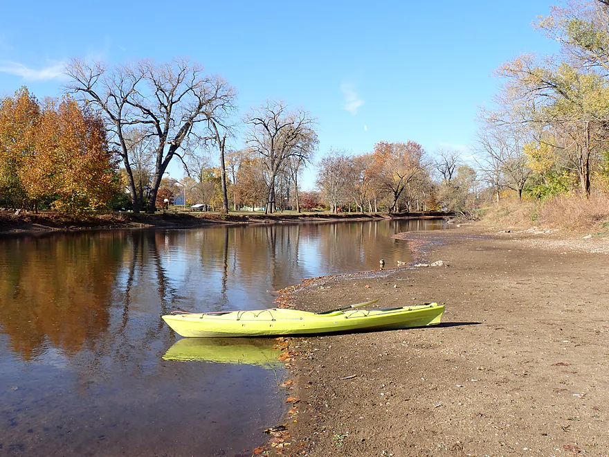
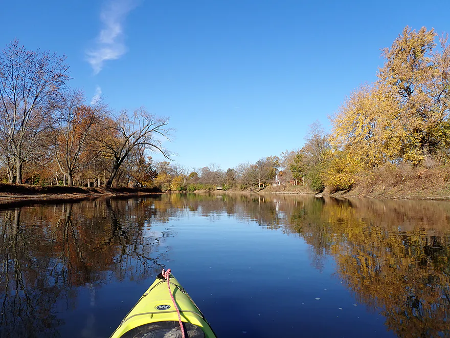
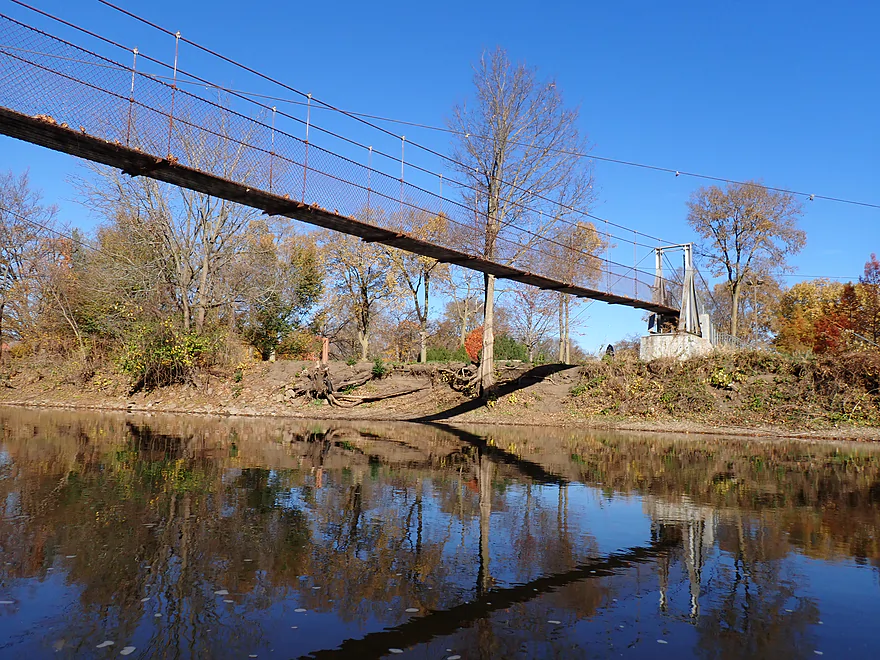
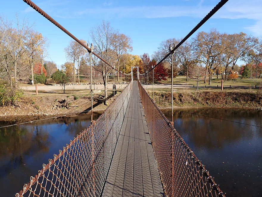
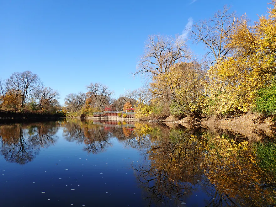
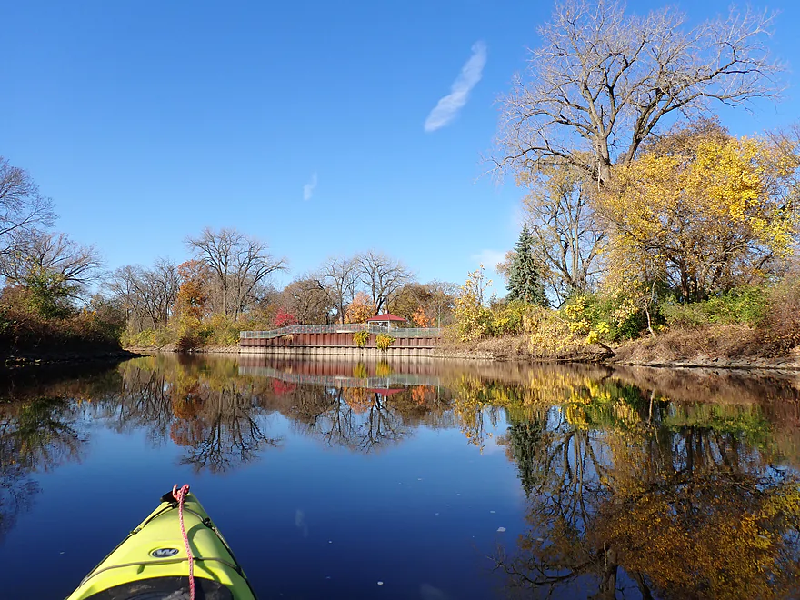
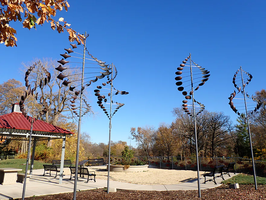
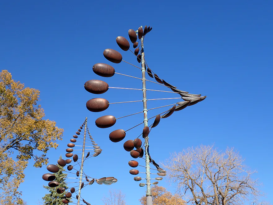
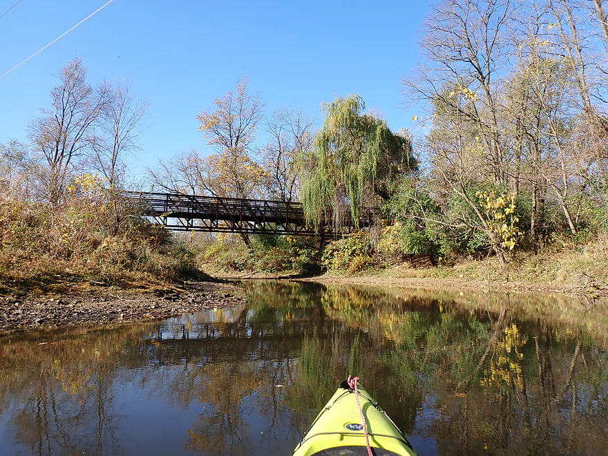
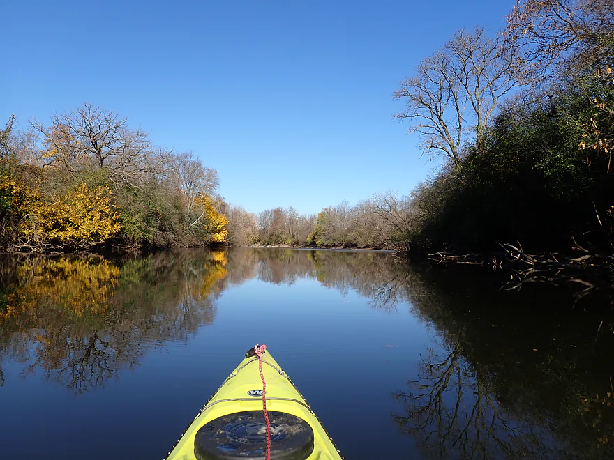
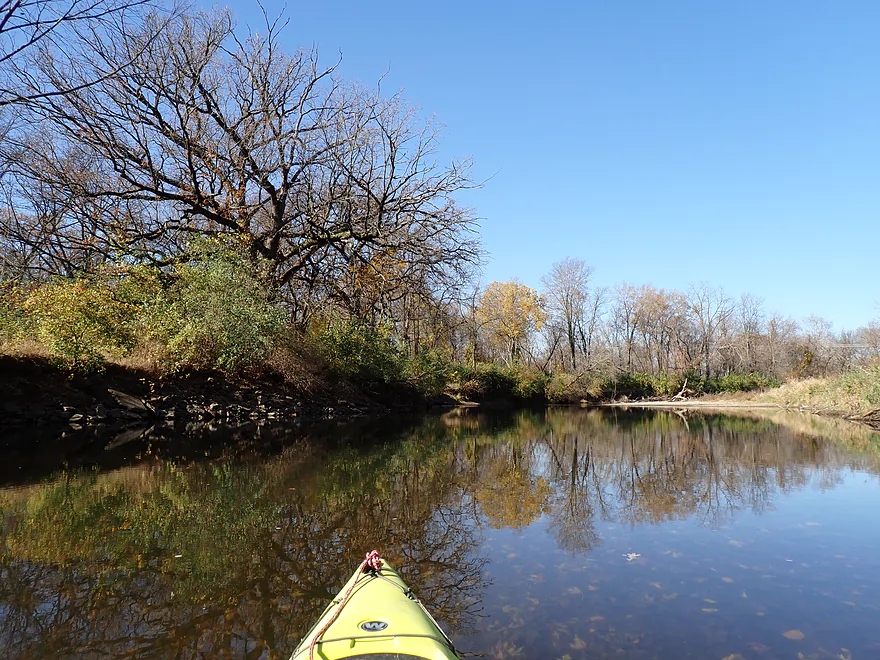
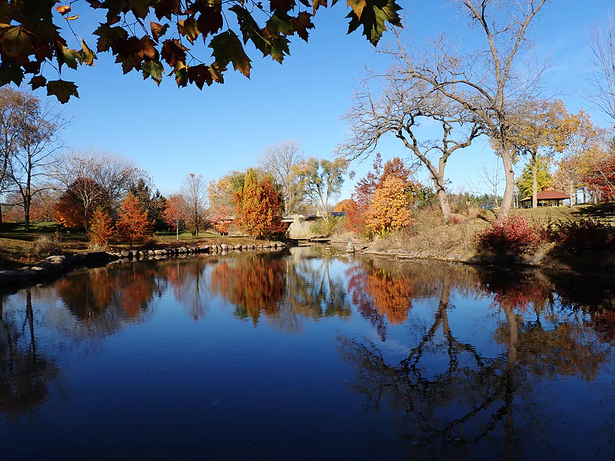
After my short scouting hike, I returned to the dam to launch. The first half mile of the trip flowed past Belvidere Park and was really scenic with some great fall color, attractive water reflections, some cool kinetic park sculptures, and a suspension bridge. The bridge itself had a sign that said it was closed and had unsightly cross cables tying it to the shore. I suspect somebody was worried about the liability of a swaying park bridge so went overboard to clamp it down…but swaying is part of the appeal of suspension bridges!
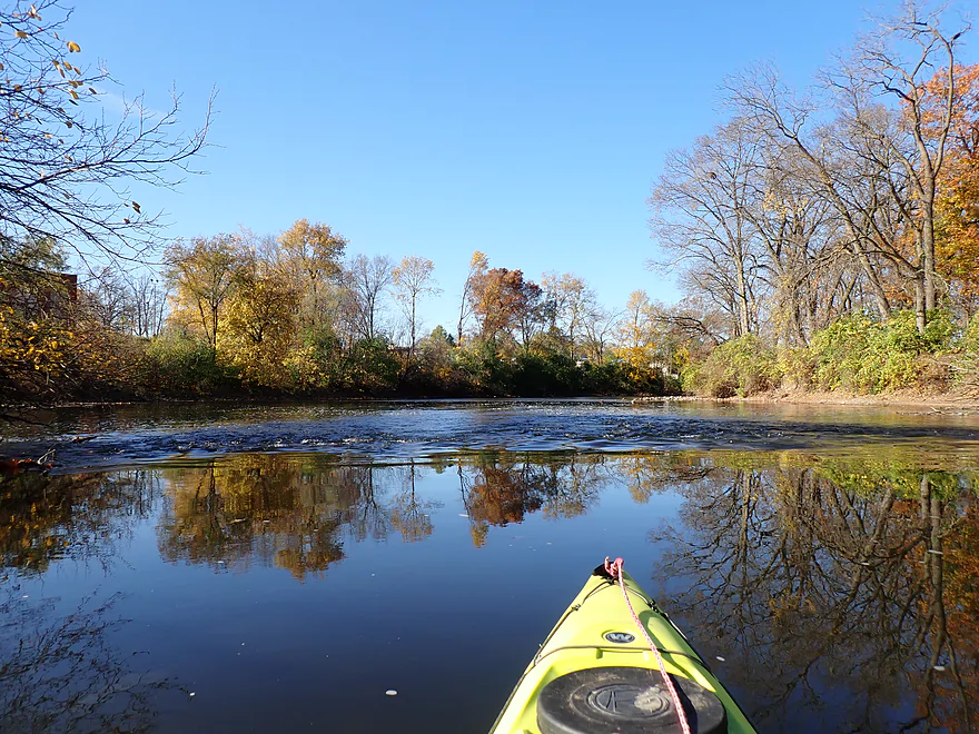
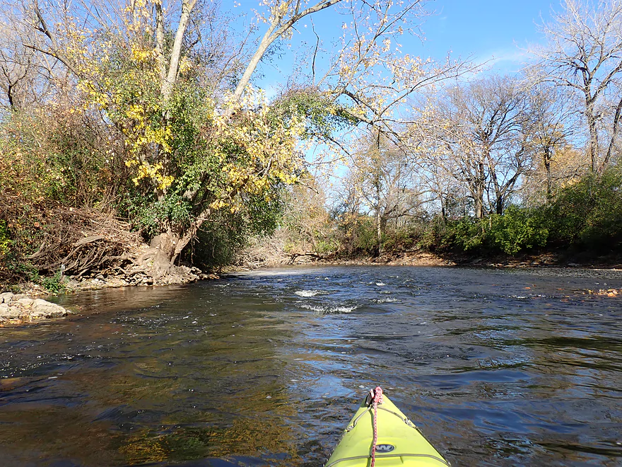
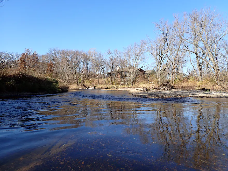
Just past the Appleton Road bridge I encountered a series of Class 1 rapids that were fun and photogenic. Along the east bank was Hickory Bills Canoe Launch where you could start a trip, but IMO the dam is a better put-in. Soon after, the Belvidere septic plant discharged its goodness into the river and coincidentally thereafter algae growth became more common. I always question how “treated” water is from wastewater treatment plants. This was followed by the mouth of the mill race which I tried paddling up a bit, but was stopped by a logjam so gave up and resumed my trip on the Kishwaukee.
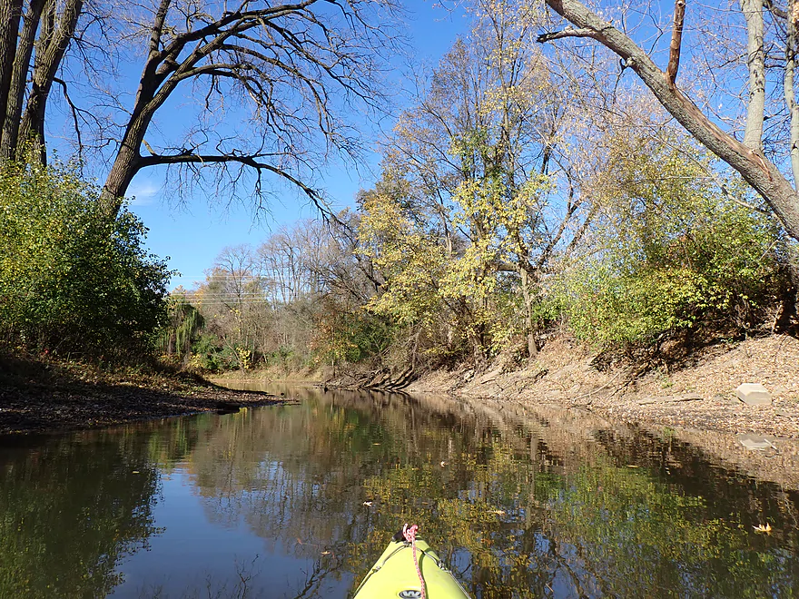
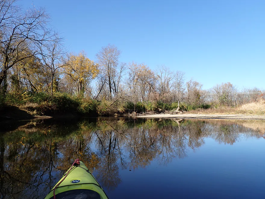
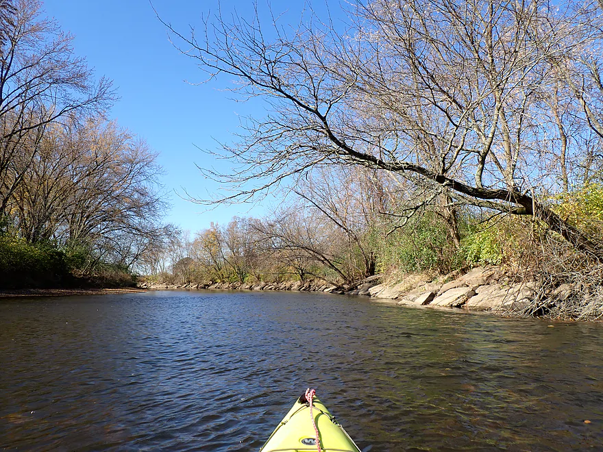
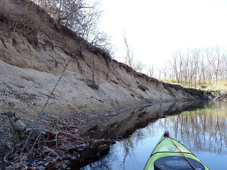
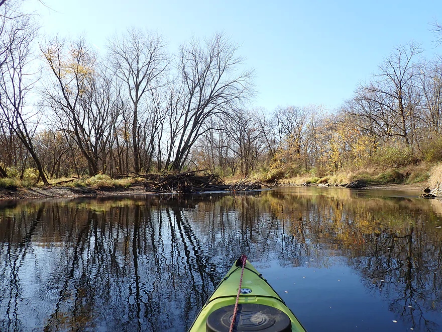
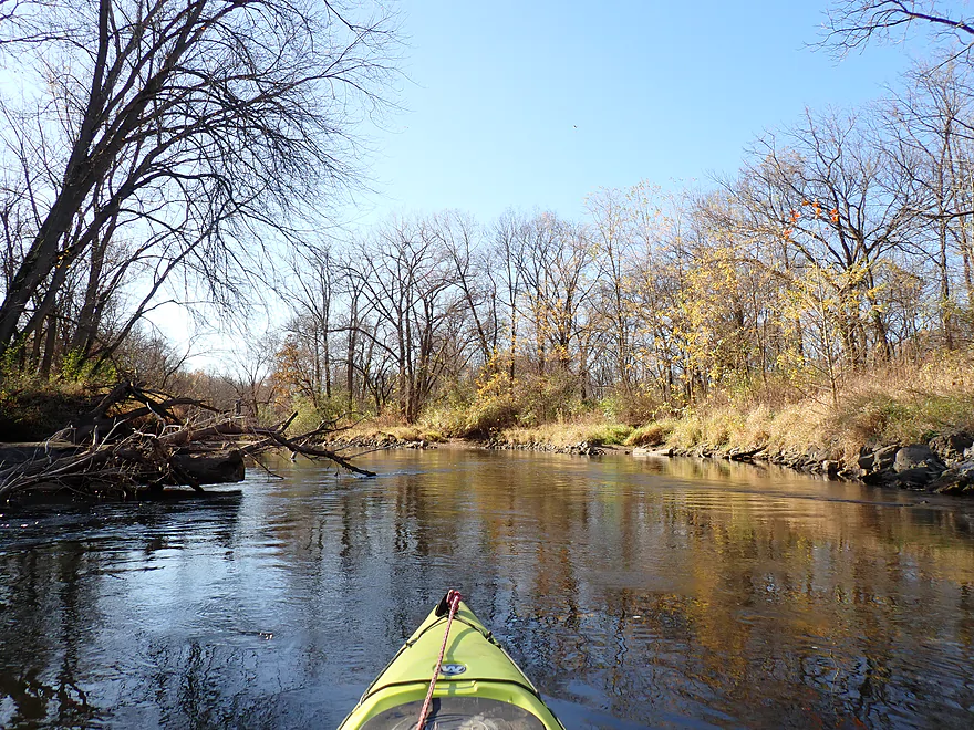
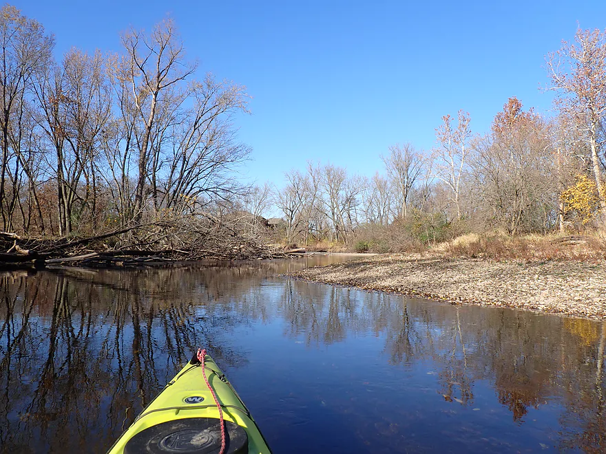
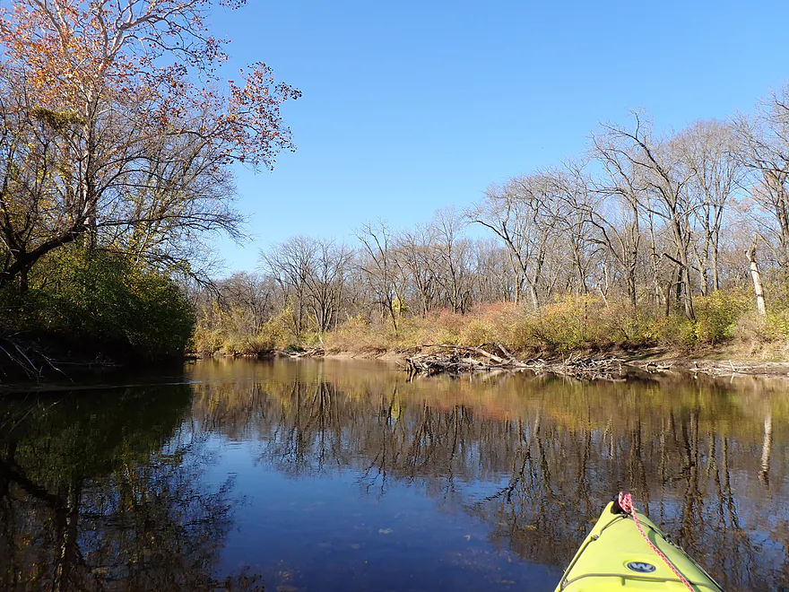
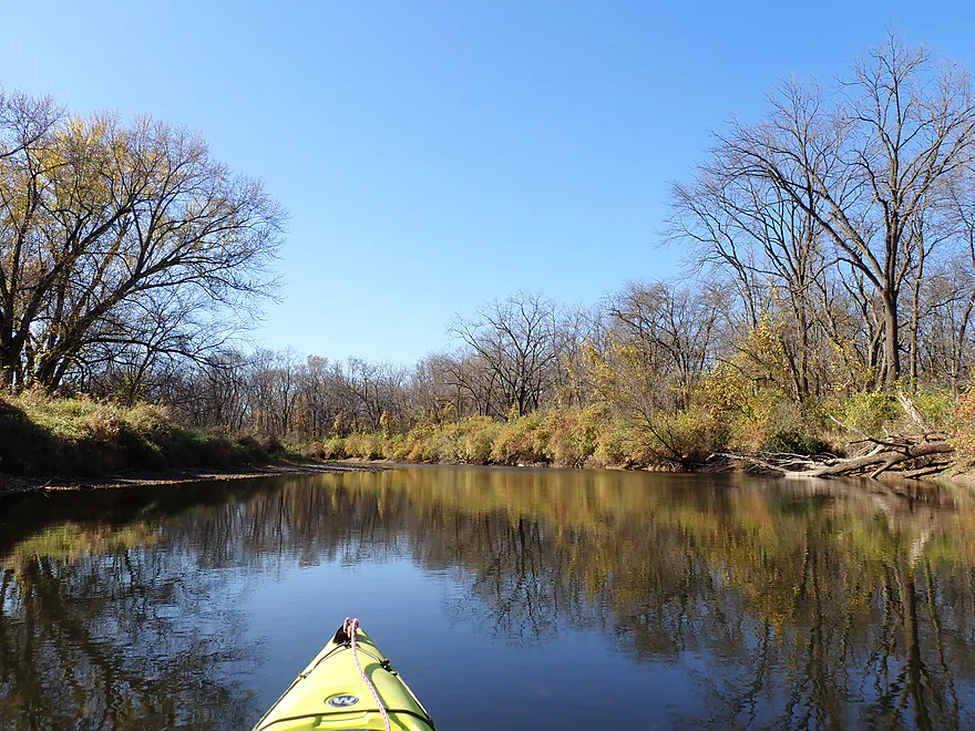
Past Belvidere Park the river banks remained wooded and mostly undeveloped, which is remarkable considering this is in the Rockford (and ultimately Chicago) metro area. Part of this is because of protection efforts from local groups, including the Anderson Bend Conservation Area.
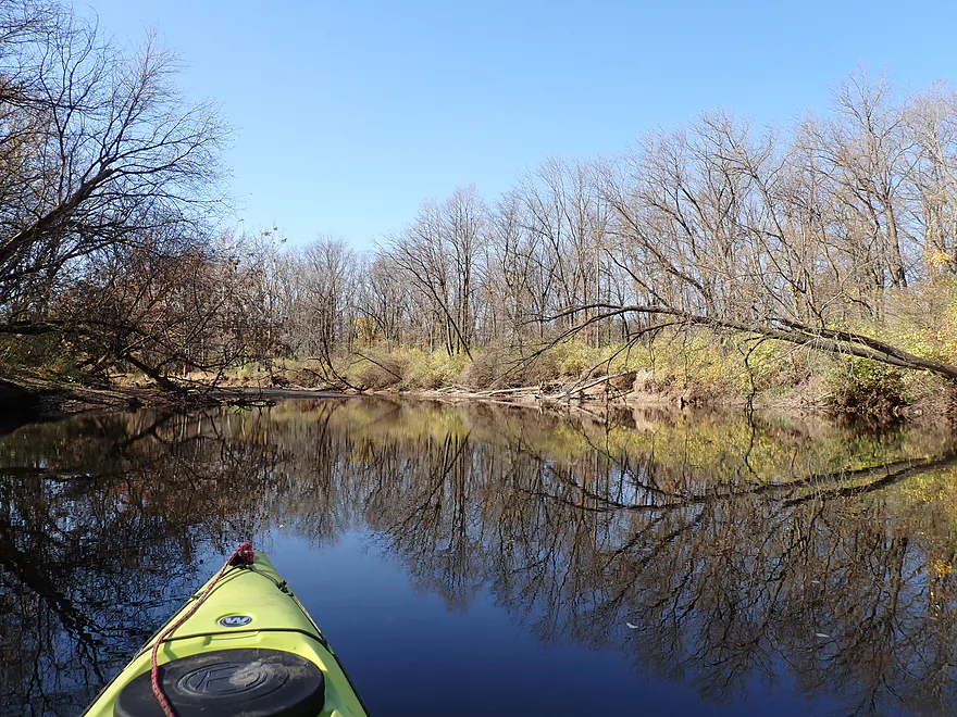
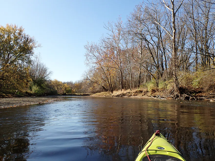
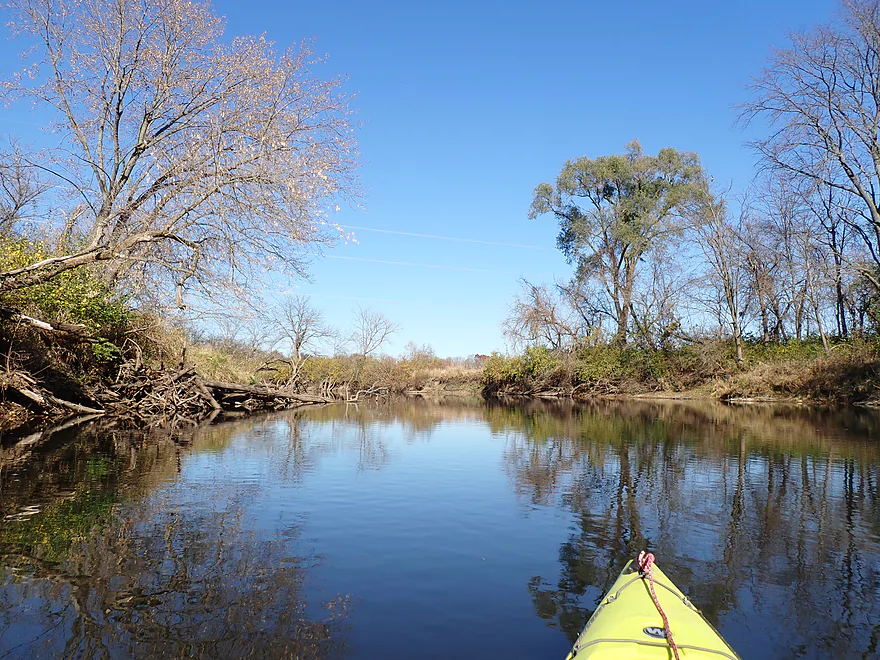
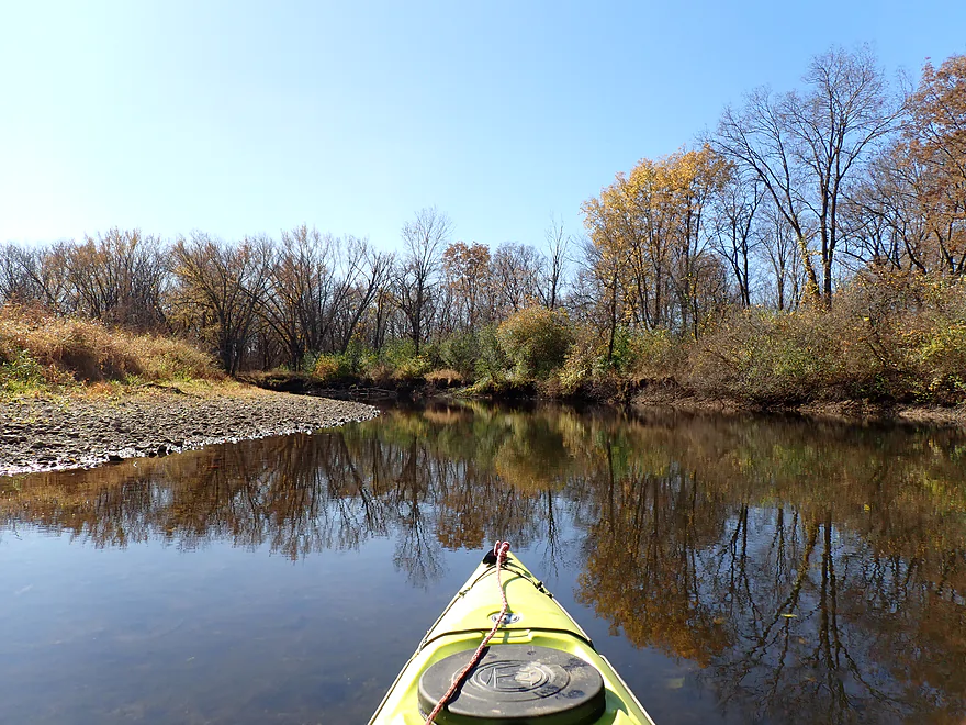
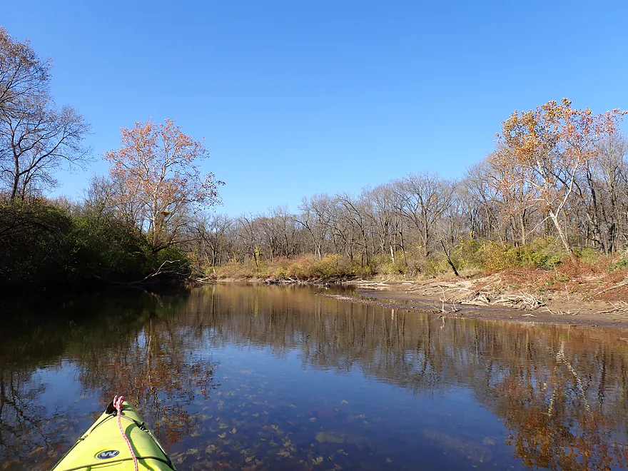
Unfortunately the color, which had been so good in the park, tailed after that, but there were still some decent moments. I should have been “greatfall”…it was November, after all, as 99% of Wisconsin at that point was bare (Wisconsin color had been mostly erased by recent wind and rain storms).
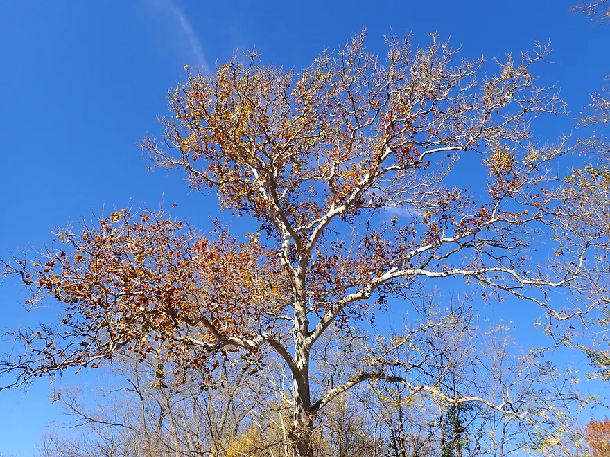
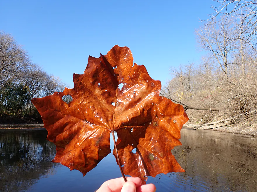
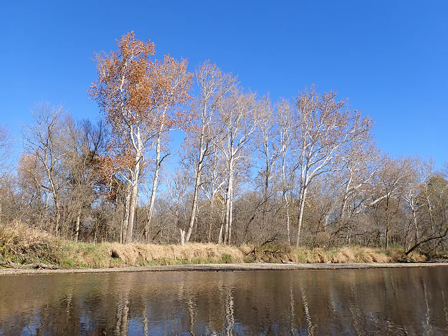
A treat was seeing many giant sycamore trees, which are rare in Wisconsin. These are majestic trees which featured white bark and huge orange leaves. The name Kishwaukee is actually Potawatomi for “river of the sycamore.”
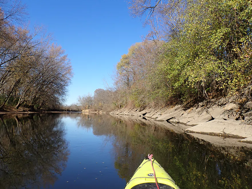
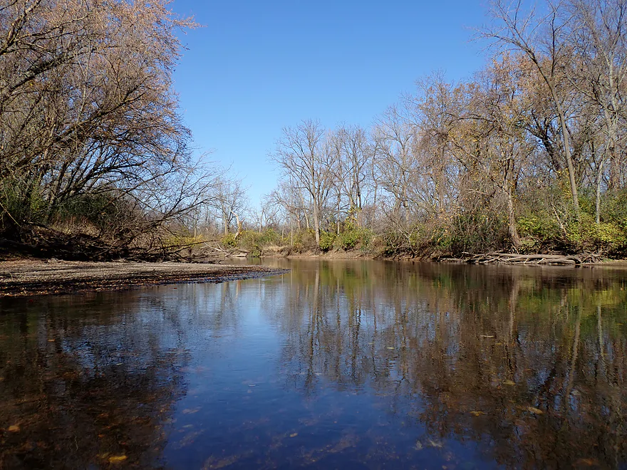
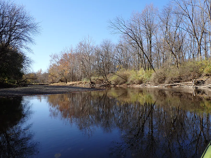
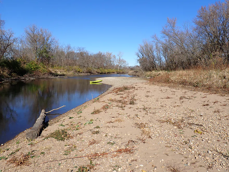
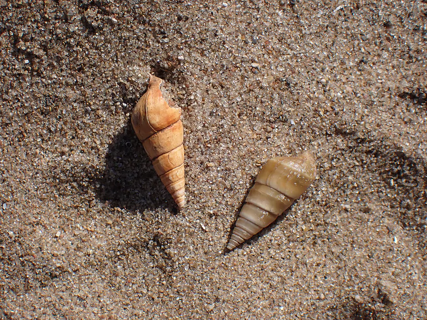
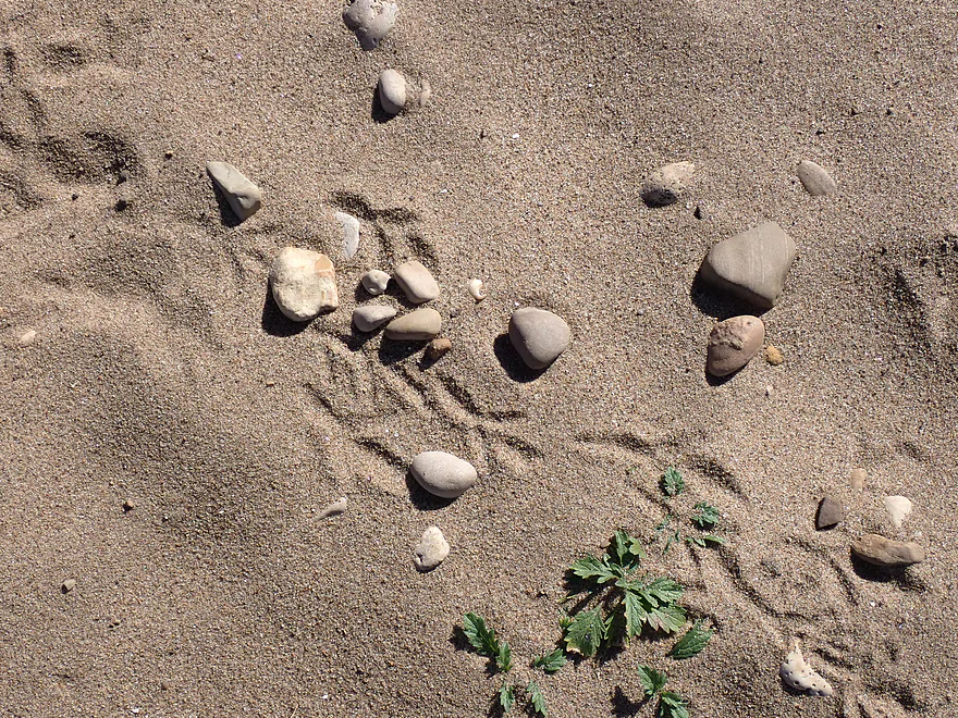
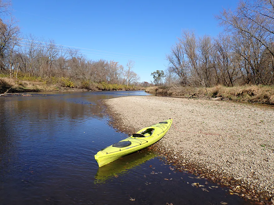
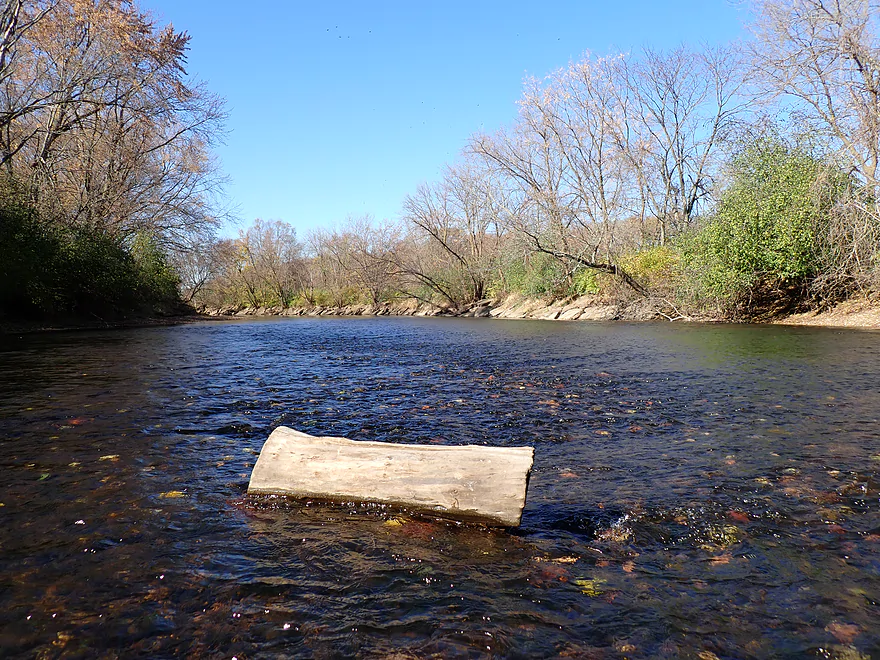
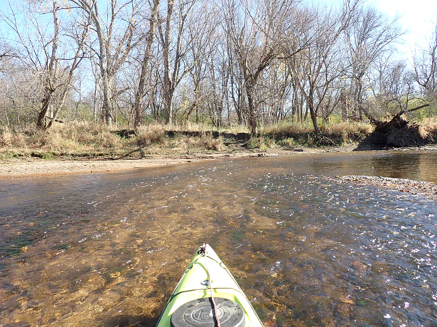
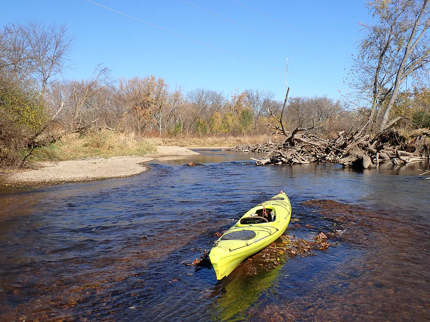
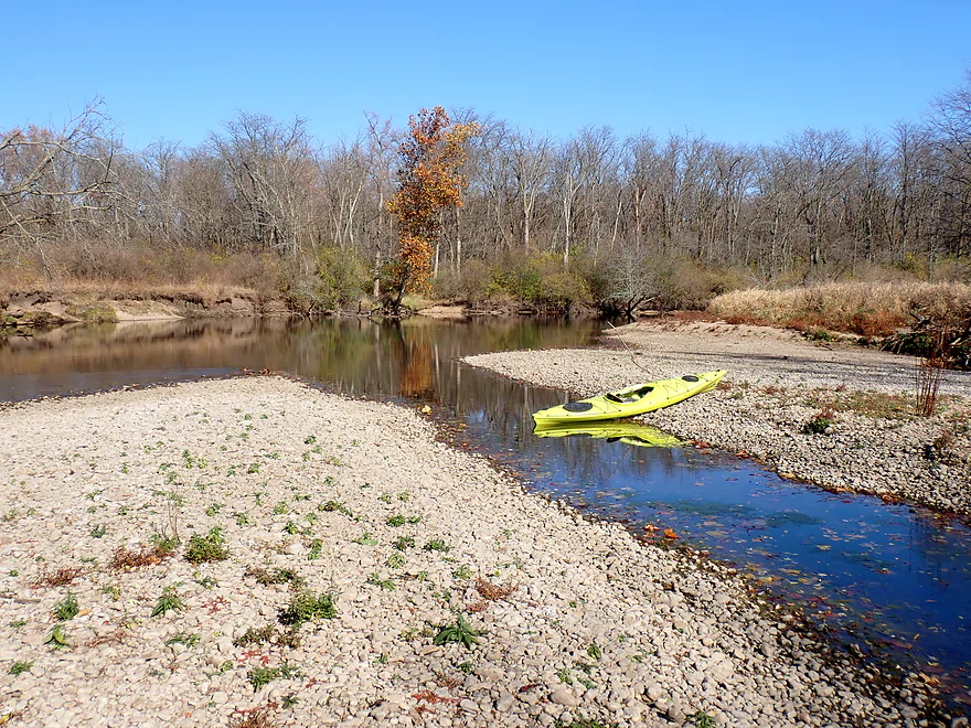
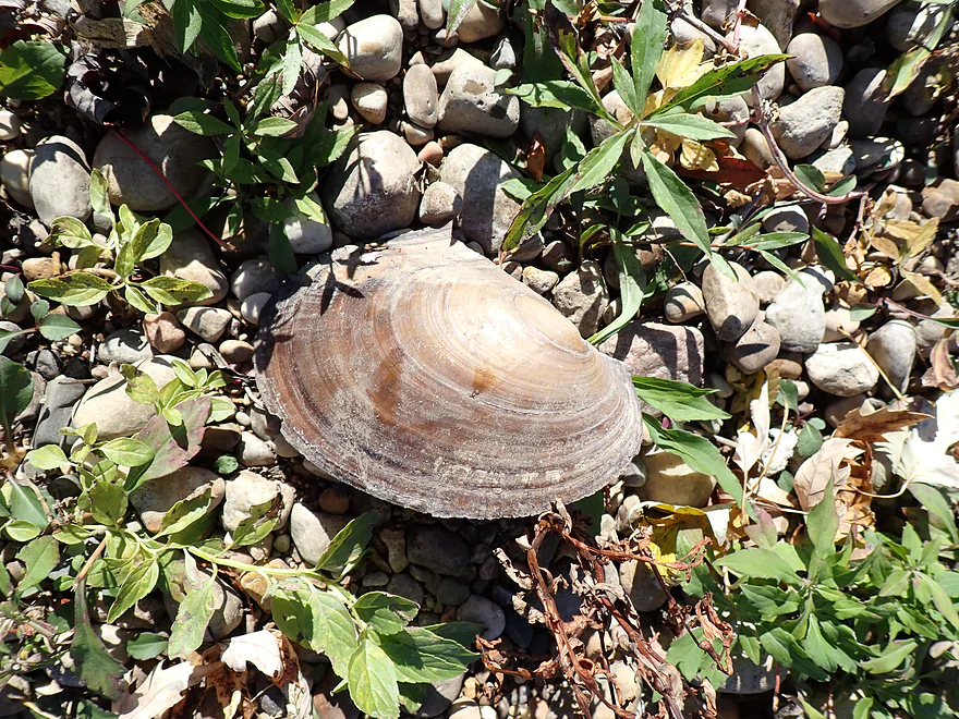
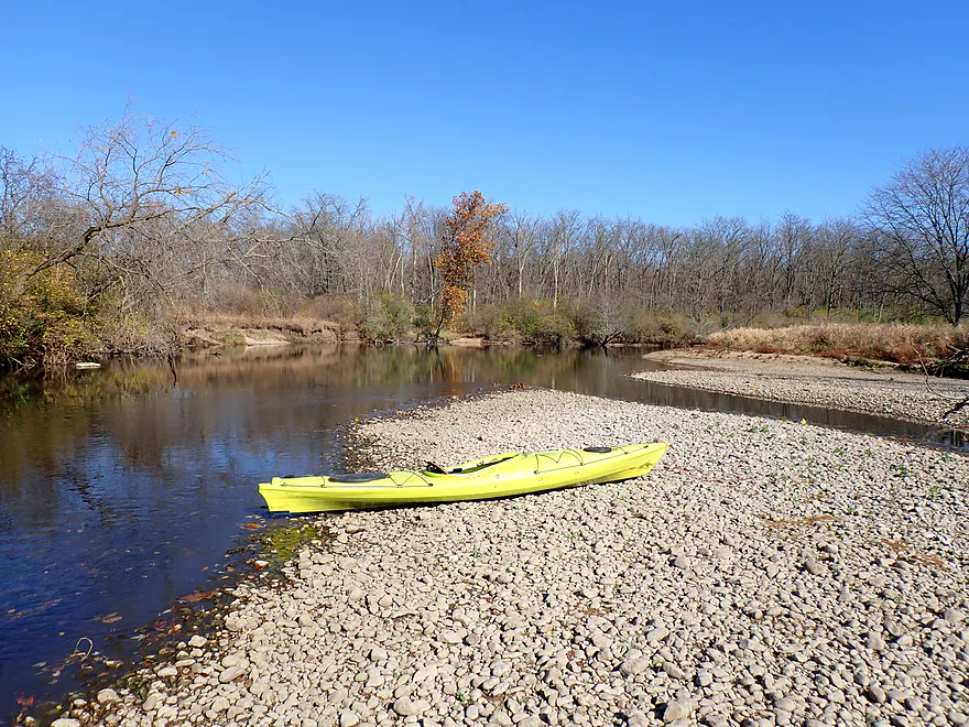
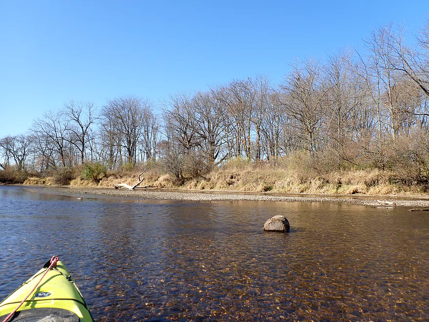
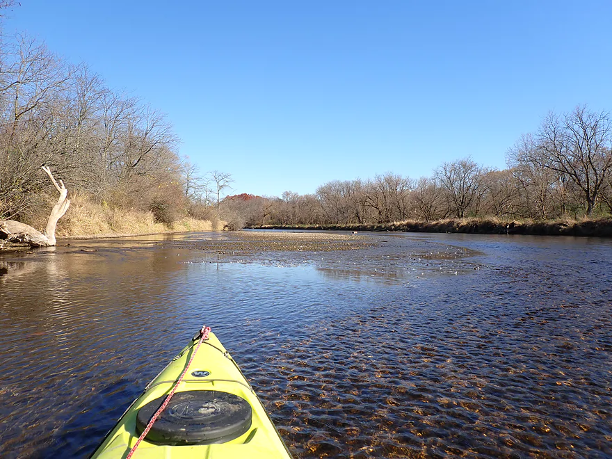
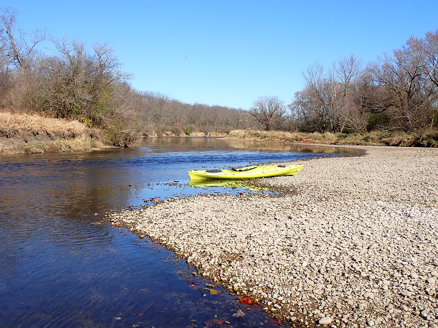
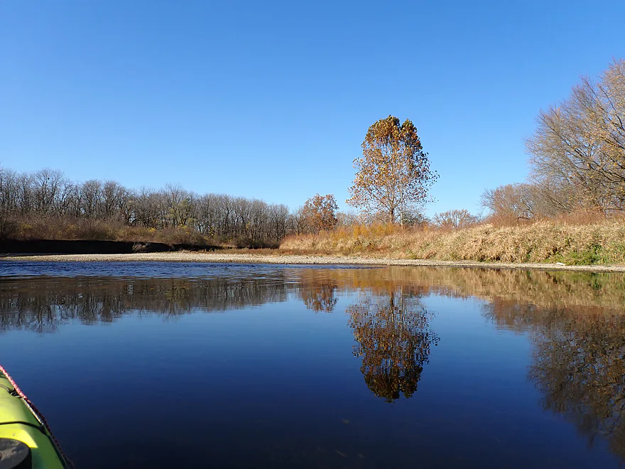
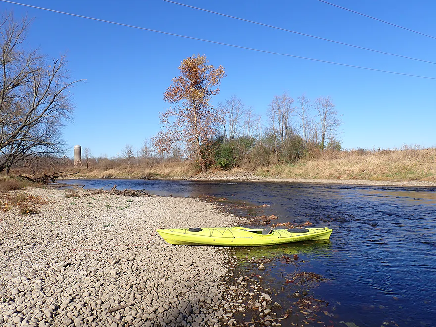
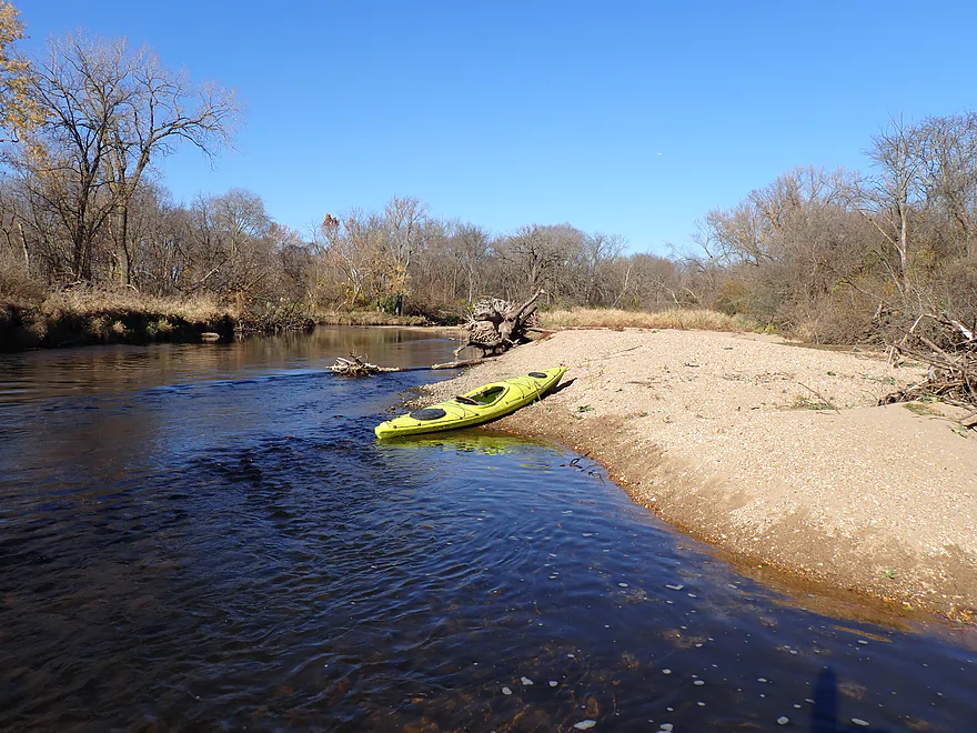
Another highlight were the gravel bars, which were surprisingly common, large, and photogenic. Countless dead clam shells were littered among the rocks (I didn’t see many live clams though).
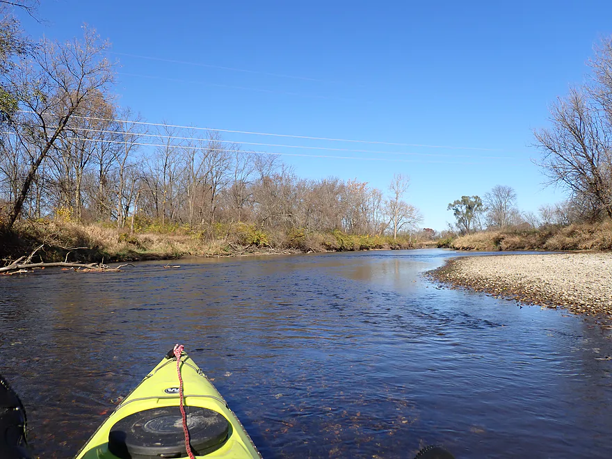
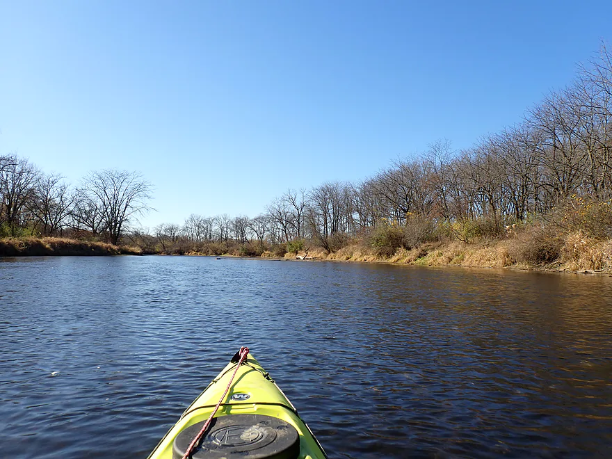
Looking at a map, the shape of this trip resembled a giant “camel’s hump”. The first half “climbed the hump” as it flowed northwest. Here the river was deeper and slower, but pleasant, with the sun at my back. The second half (after the top of the hump) turned sharply southwest and was faster, shallower and IMO more scenic (but paddling into the sun wasn’t fun).
I passed the Distillery Road Conservation Area landing, which looked like a nice access. I had considered taking out here, but opted for a later take-out for a (in theory) more manageable bike shuttle. A sign at the landing claimed the Kishwaukee was one of the cleanest rivers in Illinois (despite a long history of fish kills from manure and factory wastes). I do think efforts to clean up the river have been uccessful.
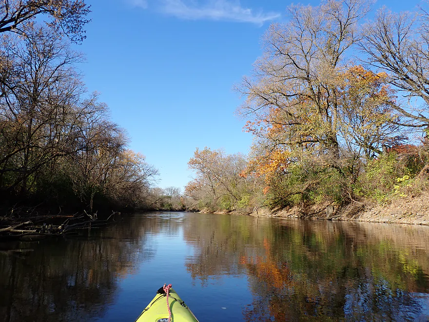
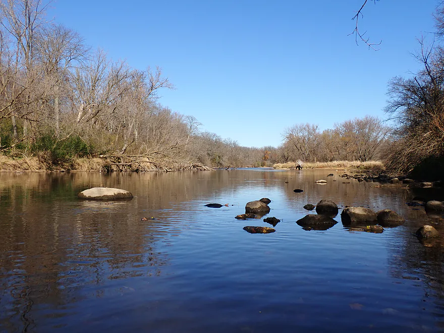
The last mile of the trip was great, with nice scenery, more gravel bars, and surprisingly clear water. The only downside was the constant roar of the I-90 tollway (which I could hear from at least 3 miles away).
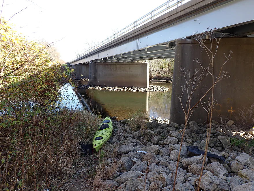
I ended the trip at Newburg Road, which was a bit rocky, but an ok bridge access that featured a conservation parking lot and fishing trail. The only major downside was the nutty (fast and aggressive) traffic on Newburg Road which I had to shuttle. As bad as that was though….the rush hour traffic on the tollway and even near Madison was far worse. There is a reason why I don’t do more Illinois paddles…
All in all this was a surprisingly nice trip. It’s not in the same league as Wisconsin’s elite water trails, but by Illinois standards it is very good, with clear water, undeveloped banks, and nice scenery. It’s also a great trip to do in late fall, as the color here will lag Southern Wisconsin by a week if not more.
Sights included a few raptors and one fox. A large flock of geese (possibly staging) did a mass high-angle landing below the put-in dam, which I thought was cool. The geese in the park were incredibly tame…I could have touched them if I wanted to. I think they know they are safer in Illinois than in Wisconsin. The highlight were the many clam and snail shells that littered the gravel bars. Specimens included a pocketbook, a black sandshell, a fat mucket, a pink papershell, and an asiatic clam. Unfortunately most were dead. Clam populations in many rivers have plummeted in recent years, which is alarming.
Belvidere Park District: A trip on the Kishwaukee wouldn’t be complete without a hike through the Belvidere Park District. This is a beautifully kept park that includes a mill race, many walk bridges (including a suspension bridge), and the historic Baltic Mill.
Belvidere Park: This was a very scenic park with multiple launch options along the south shore. I suggest putting in just below the Belvidere dam where there is a parking lot to the north and a beach for launching to the south. Careful where you step, as goose droppings are everywhere.
Alternate Put-ins:
- Hickory Bills Canoe Launch (0.6 miles downstream from the Belvidere dam): This is a good public access, but I advise launching below the dam instead. The previous half mile of river is scenic with a few fun rapids.
Newburg Road: Northwest of the bridge is a public parking area (part of Newburg Village Conservation Area). From here a fishing trail leads down the bank and to the river. The shoreline is a bit steep and rocky but it is a doable bridge access. The area by the bridge lacks seclusion and is crazy busy with a lot of heavy, fast traffic. So not an ideal access (the upstream and downstream river landings are nicer).
Alternate Take-outs:
- Distillery Road Conservation Area (1.3 miles upstream from Newburg Road): This looks like a good public access.
- Baumann Park (2.1 miles downstream from Newburg Road): This bonus leg would be pleasant, but road noise would be a minor issue. Baumann Park would be a good take-out…in fact, for most paddlers it’s a popular put-in.
Bike Shuttle – Newburg Road to Belvidere Dam: 4.3 miles with 23′ of ascent. The shuttle route is short, paved, and relatively short. Sounds like a good shuttle? Actually no…Newburg Road is very busy and despite being a town road has a high speed limit of 45 mph. There is barely any shoulder room and most Illinois drivers won’t pull over or slow down to give you space (with some exceptions). I mean, if you really need to, you can shuttle this route, and the section through Belvidere Park is really cool, but it’s not an ideal shuttle.
If you are from Wisconsin, chances are good you’ll take I-90 south to reach the Kishwaukee River. This is a toll road and what is confusing is the toll booths where you used to pay are now abandoned. What most locals do is use an I-Pass (stickers and transponder). The other option is to “pay by plate”. Just drive through the toll gates like everybody else. Cameras will take a photograph of your license plate. You then have 14 days to pay your tolls online here. The online dashboard will show your activity based on your license plate (in theory). You have 14 days to pay to avoid a fine, yet it can take (per their website) 30 days for their system to process you (a seeming contradiction). In my case I had to wait 4 days for my trip to show up ($3.90).
Wind: Much of this trip is open, so you should be mindful of strong forecasted headwinds.
Logjams: None.
Strainers: Not many. There is a big strainer by Anderson Bend that seals off an island channel, but you can just take the other channel.
Current/Rapids: It was mostly lazy current, but there were some fast spots (mostly near the start and end of the trip). There were about a half dozen light rapids, but all are easy and none greater than Class 1. The most significant rapids are located upstream from Hickory Bills Canoe Launch.
River Gauge: Kishwaukee River @ Belvidere
River Trip Depth: 147 CFS or 1.17′
River Navigability Estimates: The following are only rough guestimates.
- 0-200 CFS: Typical late fall depth. Relatively low, but mostly navigable with only a few spots that had to be scooched. Really nice gravel bars.
- 201-400 CFS: Average depth. Good for paddling.
- 401-600 CFS: High depth…should still be navigable although many of the nice gravel bars will likely be underwater.
- 601-1000 CFS: Very high depth. River might be a bit dirty and not attractive for paddling.
- 1001+ CFS: This might be flood level.
Click here to see an overview map of the Kishwaukee River.
South Branch:
- Upstream form Seeman Road: I don’t know much. The river seems open, but I suspect there are spots with logjams.
- Seeman Road to Hemmingsen Road: 1.0 miles. Simple, flat, and straight leg. Could be a logjam or two. Bob Tyler says there are fantastic prairie vistas on this trip, but also several low bridges that had to be portaged.
- Hemmingsen Road to Siems Park: 1.6 miles. Very straight and channelized with many cornfields. I think this leg should still be nice though. Flows past the famous Illinois Railway Museum.
- Siems Park to North Union Road: 2.1 miles. A relatively open stretch and likely really nice.
- North Union Road to South Branch Confluence/Millstream Road: 2.0 miles. I think this is a good leg…not as overgrown and twisty as downstream legs. This was cleared of logjams as of 2024.
Main Branch:
- South Branch Confluence/Millstream Road to Woodbine Launch: 3.3 miles. A relatively open stretch with some huge islands. As of 2024 this was cleared of logjams.
- Woodbine Launch to Hwy 23: 1.6 miles. Tight twisty stretch suitable for only short boats. As of 2024 this was cleared of logjams.
- Hwy 23 to County Line Road Access: 8.5 miles. A scenic but historically challenging stretch because of all the deadfall. Reviewed by Morrall Films. Thankfully in 2024 this was cleared of logjams, but be mindful new wind storms could create unexpected snags. Hwy 23 is a poor access.
- County Line Road Access to Kishwaukee Valley Conservation Area: 4.3 miles. Good prospect with mostly undeveloped banks and decent current.
- Kishwaukee Valley Conservation Area to Red Horse Bend Landing: 3.8 miles. Ok prospect…bit slower, wide and straighter than the previous leg. The river grows significantly from a creek tributary.
- Red Horse Bend Landing to Doty Park Boat Launch: 2.1 miles. This stretch flows through the heart of Belvidere with a mix of urban park scenery and development. Much of this leg will be slow and deep because of the downstream dam. Despite this, I suspect it’s not a bad leg. Piscasaw Creek is a noteworthy addition to the river.
- Doty Park to Belvidere Dam/Park: 0.4 miles. An impounded and likely uninteresting stretch. Take-out is downstream of the dam, so portage along the Riverfront Path, which is doable but a bit long. If water levels are low, you can get closer to the dam to shorten the portage/take-out, but be careful as the dam looks dangerous.
- Belvidere Dam/Park to Newburg Village Conservation Area: 6.5 miles.
- Belvidere Dam/Park to Hickory Bills Canoe Launch: 0.6 miles. A very scenic stretch past Belvidere Park. Highlights include a suspension bridge, a few fun Class 1 rapids, some cool park sculptures, and nice trees with surprisingly good color despite being November.
- Hickory Bills Canoe Launch to Distillery Road Conservation Access: 4.7 miles. This is a great leg with clear water, attractive gravel bars, fantastic sycamores, and mostly undeveloped banks.
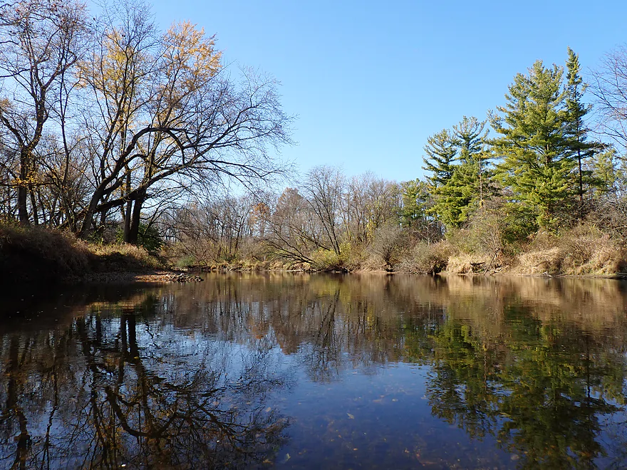
- Distillery Road Access to Newburg Road: 1.3 miles. River narrows and speeds up a bit. The shoreline is more wooded (part of the Lib Forest Preserve) and there are even a few pine trees. Nice leg.
- Newburg Road to Bauman Park: 2.1 miles. Likely a pleasant leg, but constant freeway noise may get a little annoying.
- Bauman Park to Espenscheid Park: 2.3 miles. A solid leg with mostly undeveloped wooded banks. Downstream from Baumann, the Kishwaukee is relatively popular with paddlers.
- Espenscheid Park to Perryville Road Bridge Access: 1.3 miles. Heavily wooded leg with some large gravel bars.
- Perryville Road Bridge Access to Kishwaukee River Preserve West Entrance: 1.7 miles. River doubles in size from the South Branch joining up. Scenery should get a bit more rugged with even a few small dolomite cliffs downstream from the South Branch confluence.
- Kishwaukee River Preserve West Entrance to Atwood Park: 4.0 miles. Includes the famous Kishwaukee Gorge under I-39. The 160′ valley is best viewed in the fall or in winter so you can see the hidden dolomite walls.
- Atwood Park to Kishwaukee Road/Mouth on Rock River: 5.9 miles. River splits around a huge island. The north channel seems more navigable. In high water, I believe you can paddle into an adjacent quarry lake. Kishwaukee Road might not be a viable bridge access. Scout before using.
Sycamore Creek/DeKalb South Branch: Yes, the Kishwaukee has two South Branches and yes this is confusing. Both can be paddled. The western one used to be known as Sycamore Creek but was renamed in the 90’s to the South Branch (likely by a person not realizing this was already taken).
- Lions Park to Deprin Park: 3.2 miles. Mix of urban parks in DeKalb and flood dikes.
- Deprin Park to Hopkins Park: 0.6 miles. Channelized stretch.
- Hopkins Park to Bethany Road Church: 2.0 miles. Wooded stretch through the north end of DeKalb.
- Bethany Road Church to Hwy 64 Access: 4.5 miles. I don’t know much about this leg.
- Hwy 64 Access to North Grove Bridge: 3.3 miles. Likely a nice leg…includes a mix of farmland and woods.
- North Grove Bridge to Knute Olsen Jr. Forest Preserve: 6.8 miles. Narrow wooded stretch that flows past a large quarry.
- Knute Olsen Jr. Forest Preserve to Russell Woods: 3.3 miles. One of Bob Tyler’s favorite legs. Partly flows through the Russell Woods Forest Preserve.
- Russell Woods to David Caroll Park: 2.0 miles. Likely an attractive leg. Partly flows through the Russell Woods Forest Preserve.
- David Caroll Park to Kingston Park: 4.1 miles. Generic woody stretch.
- Kingston Park to Gildden Road: 2.1 miles. Simple wide stretch.
- Gildden Road to Pioneer Park: 4.8 miles. Probably a mediocre stretch.
- Pioneer Park to Potawatomi Woods: 1.4 miles. Mediocre stretch with some gravel bars.
- Potawatomi Woods to Irene Road: 3.8 miles. Heavy wooded stretch through the MacQueen Forest Preserve. Numerous snags and strainers in fast current may make navigation difficult.
- Irene Road to McNeal Road: 4.1 miles. Likely a solid stretch, but there could be some snags in fast current.
- McNeal Road to Edison Road: 1.3 miles. Nice wooded stretch with gravel and light riffles.
- Edison Road to Oak Ridge Forest Access: 2.5 miles. Likely a nice stretch with clear water, gravel bars, and a few riffles.
- Oak Ridge Forest Access to Deer Run Access: 2.6 miles. Mostly a flood-bottom paddle. There are likely some snags to deal with.
- Deer Run Access to Perryville Road Bridge Access/Mouth: 1.9 miles. Includes some nice gravel bars. There should be some small cliffs at the end of the leg.
Other Tributaries:
- Piscasaw Creek: Joins the river north of Belvidere and has some nice legs for paddling.




Significant improvements were made to the Upper Kishwaukee River and it’s South Branch. From Siems Park to County Line Park the river should be clear of logjams. There are also relatively new access points at County Line Road and the Woodbine Launch. For more information check out https://paddlethekishinmarengo.com/.