Lawrence Creek


Chances are you haven’t heard of this creek. It’s located about 40 minutes northeast of Wisconsin Dells and is a tributary of the Montello River. Almost the entirety of the creek resides within the “Lawrence Creek State Natural Area“. While few in the public are aware of this natural area, it is popular with fishermen (several of which I saw).
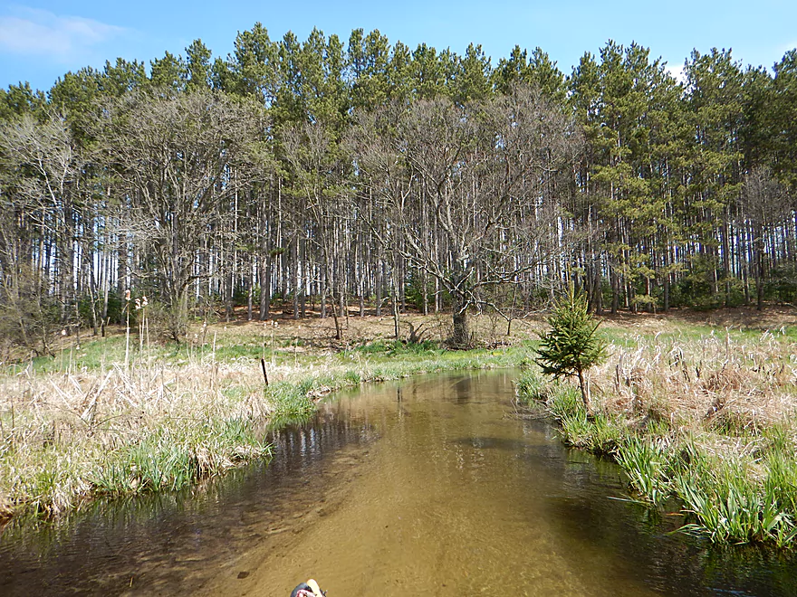
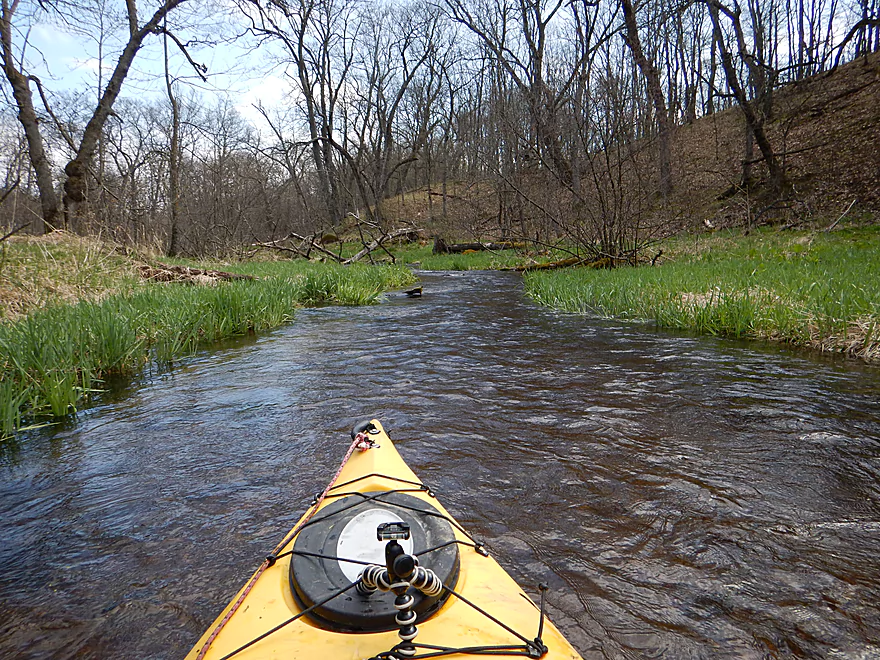
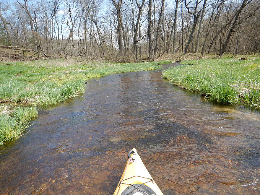
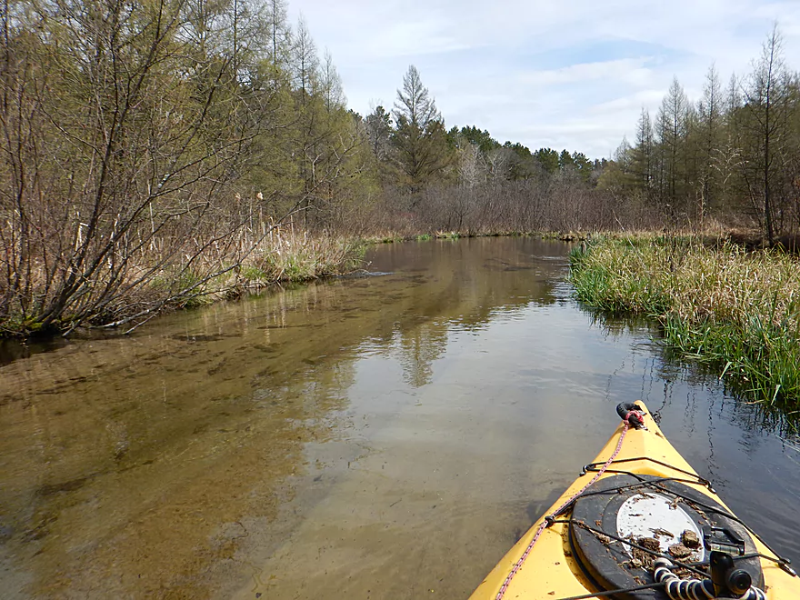
The highlight of this trip was the water clarity. Absolutely amazing at times. The creek seems to be almost entirely spring fed. The headwaters (located maybe a half mile west of 1st Ave) spring out of “nowhere” (a ground moraine) and are constantly reinforced by springs and seeps from the side. Many of the seeps are kind of easy to spot from a boat as they tend to be near thick groves of skunk cabbage.
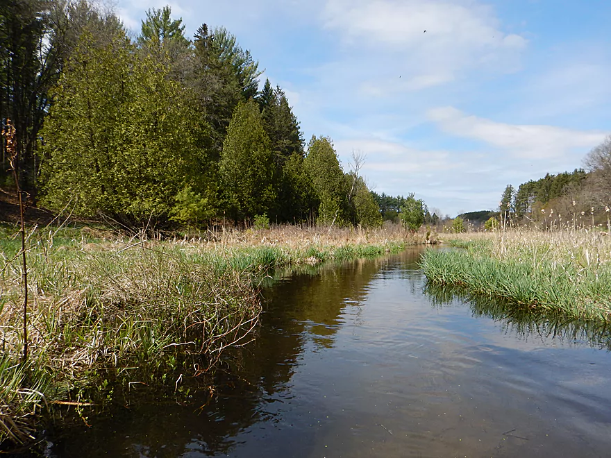
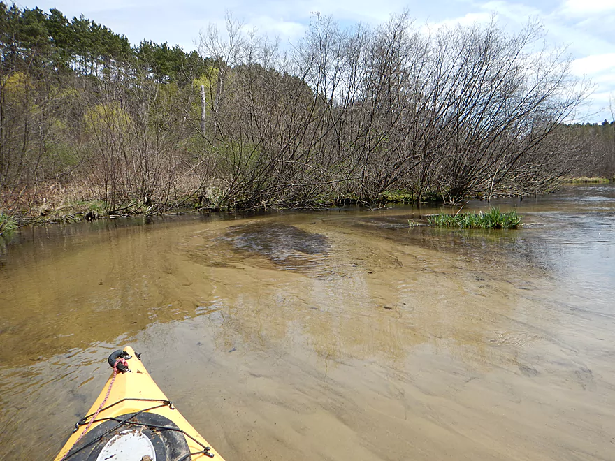
The other nice thing about this trip was the clean substrate and banks. I had just paddled the Kickapoo last week, which was relatively muddy with huge dirt banks. Lawrence Creek on the hand is extremely sandy and clean with occasional pebble gardens in the substrate. It was pleasant being able to see over the banks and see the surrounding countryside (unlike many southern Wisconsin Rivers that are hemmed in by walls of eroded mud).
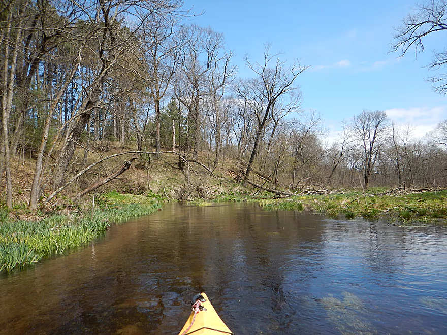
The downside to this trip would be the logjams, but don’t let this discourage you (although I did take a star off the trip because of them). The first section, (from the put-in until the woods), is a nice open marsh and has no logjams to worry about. The “woods section” does have a number of down trees…but these are super easy to portage because the water is shallow, sandy and clean. Plus none of the jams are very big. I suggest bringing rope and aquatic footwear, and just walking your kayak for the wooded section (maybe a third of a mile). Very easy. The woods are the best part, with the fastest current, attractive pebble gardens, hills that hug the creek, and scenic seeps coming out of the hillsides. After the woods, there were a few portages but these were easy because the banks are so flat.
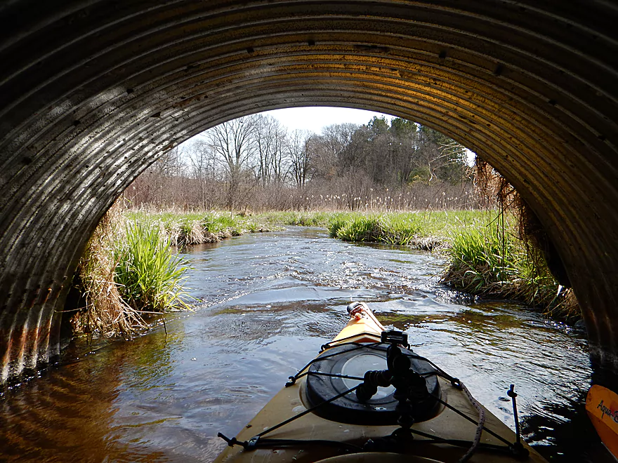
You might think that the creek seems too narrow to be navigable from the pictures, but this was actually never a problem and navigation was easy. The small width actually gave the creek a lot of its character (especially in the fast sections) and it reminded me of the upper Mecan River.
After Eagle Ave (super scenic section BTW), the creek drowns under a flowage. Lawrence Lake is overdeveloped, busy, weedy and too muddy to like. It’s actually a deep lake and the dam undoubtedly has buried some good gradient and fast current.
Good bridge access by 1st Ave with a public parking lot just southwest of the creek (the creek gets a lot of fishermen).
There are two boat ramps on Lawrence Lake. Both are free but lack outhouses. Do note that these are small and might fill up on summer weekends. For taking out, I chose the north ramp as it meant a significantly shorter bike shuttle.
The bike shuttle is a little hilly but not bad–a scenic route with little traffic and only 2.5 miles.
There are a few class 1 rapids, but these are easy. Most of the trip did not have logjams, but there was a short section in the woods that had a number. Don’t let this discourage you as portaging these was super easy.
Because Lawrence Creek is spring fed, I suspect it stays fairly stable no matter when you paddle it. The creek, despite being narrow, is often times surprisingly deep (some holes were about five feet down). The current is very peppy but never obnoxious. Again, there were several riffles and minor class 1 rapids.
Black squirrels, cranes, geese, ducks, and painted turtles. I could see many fish through the clear water but few were very big. For plants, there was a lot of skunk cabbage and mint (both of which I could smell).
Thanks to Adam Kiernicki for suggesting this as a trip idea (and for some other ideas you may see reviewed in the near future as well). If you have ideas or requests for paddling trips, feel free to let me know.
Detailed Overview
- Headwaters to 1st Ave: 1.0 miles. In theory, there should be a spring located at the headwaters a mile upstream from 1st Ave. This might be more viable as a roundtrip.
- 1st Ave to Lawrence Lake (North Ramp): 3.0 miles. Technically Lawrence Creek, this is a small paddle with some logjams, but is really nice with stunning water clarity and virtually no mud. A very underrated paddle.
- Lawrence Lake (North Ramp) to Lawrence Lake Dam: 0.8 miles. A simple lake paddle.
- Lawrence Lake Dam to Pioneer Memorial Park: 5.6 miles.
- Lawrence Lake Dam to Westfield Veterans Park: 4.8 miles. A terrific paddle because of the incredible clarity and natural springs. Only downside are a few logjams, but they are easy portages.
- Westfield Veterans Park to Pioneer Memorial Park: 0.8 miles. The river here is faster, deeper, more wooded and less clear. It's a scenic stretch flanked by steep clay banks.
- Pioneer Memorial Park to Hwy E(by Charles St): 0.6 miles. A nice little prospect. Mostly within earshot of busy I39.
- Hwy E(by Charles St) to Hwy E/B(by Maynard Dr): 5.1 miles. Maybe 15-20 logjams.
- Hwy E/B(by Maynard Dr) to 10th Lane: 1.4 miles. This section should be mostly clear with I believe the only jam being the one you’ll see from the Hwy E bridge.
- 10th Lane to Hwy E: 0.7 miles. Nice open marsh paddle. Good access at both the put-in and take-out.
- Hwy E to Water Street Dam: 1.7 miles. A boring flowage.
- Water Street Dam to Hwy J: 600'. There are cool rapids between the two bridges in this short stretch, but a nasty strainer and a No Tresspassing sign by the dam make this a difficult leg to access.
- Hwy J to Ember Lane: 5.1 miles. A very scenic stretch of river with clear water and a sandy bottom. Currently there are too many logjams here to recommend, but it may get cleaned out in the future.
- Ember Lane to 11th Rd: 4.0 miles. Likely a scenic stretch of river, but I bet it has too many logjams.
- 11th Rd to Lake Montello (park on south shore): 3.7 miles. A simple section with some lake paddling.
- Montello Dam to the Fox River: 0.6 miles. A nice little urban stretch.
















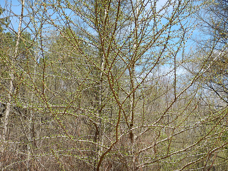


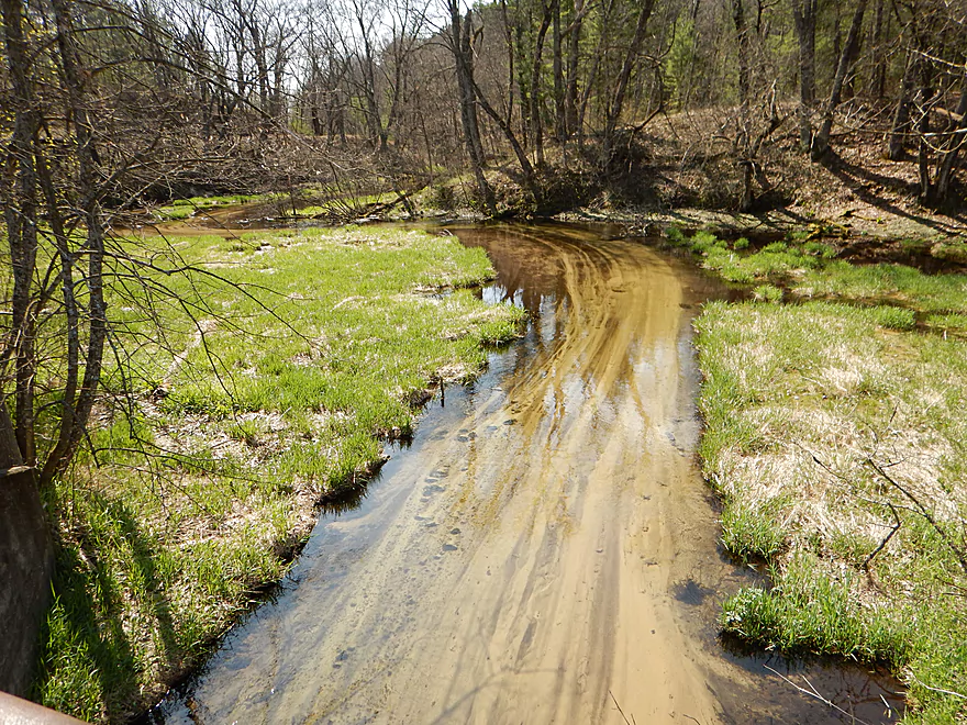


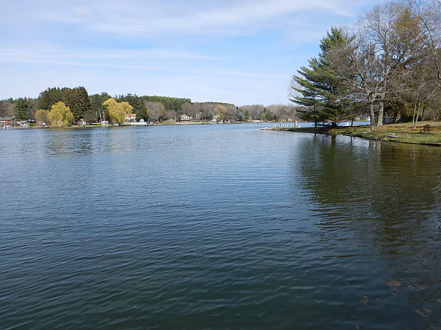


Definitely do not recommend river tubing for the majority of this creek due to the downed trees, but it sure is fun! We lost 2 tubes out of 5 but mainly due to some branches that were avoidable. Strongly recommend getting out at the Eagle Ave bridge since it’s a nice easy spot to get out. Any closer to the lake, and you may encounter some really shallow areas.
Have not attempted to kayak the route, but plan to in the future. The rapids are very minor but fun in tubes, I can only imagine in a kayak!
The creek is VERY cold because it is spring fed, so I personally recommend going on a hot summer day.
We saw some young trout, which was pretty neat. Watch out for some of the plants though since there are some sharper ones that could scratch.
All in all, a great trip. We went between the two parking lots for the fishing area and the Eagle Ave bridge.
Thanks for the comment! It’s too bad to hear about the down trees. Hopefully somebody will clear these out in the future as this could be an amazing prospect.
July 2019 still quite a few downed trees throughout
That’s too bad. I appreciate the update though Mary.
I’m wondering who took these photos of Lawrence Creek! I’m with the DNR, and we’re looking for user photos of our public lands to share on our website and in news releases.
I’m hoping to contact the photographer to ask permission to use these photos.
Thanks!
Yes, you can use these. I’ll followup via email here as well.
The Budsin adventure club took 3 kayaks down the creek on saturday and what a gorgeous creek, the water clarity is phenomenal and the ice cold seeps coming out of the banks along the way were neat to see and refreshing on a hot sunny day. Lots of small fish seen. The water is shallow enough especially in the wooded section where there are about 6+ portages over and around downed trees. This creek would be perfect with a little clean up which we plan to do.
If you do a cleanup, can you let me know so I can update this website?