
Waterproof Wisconsin Water Trail Maps
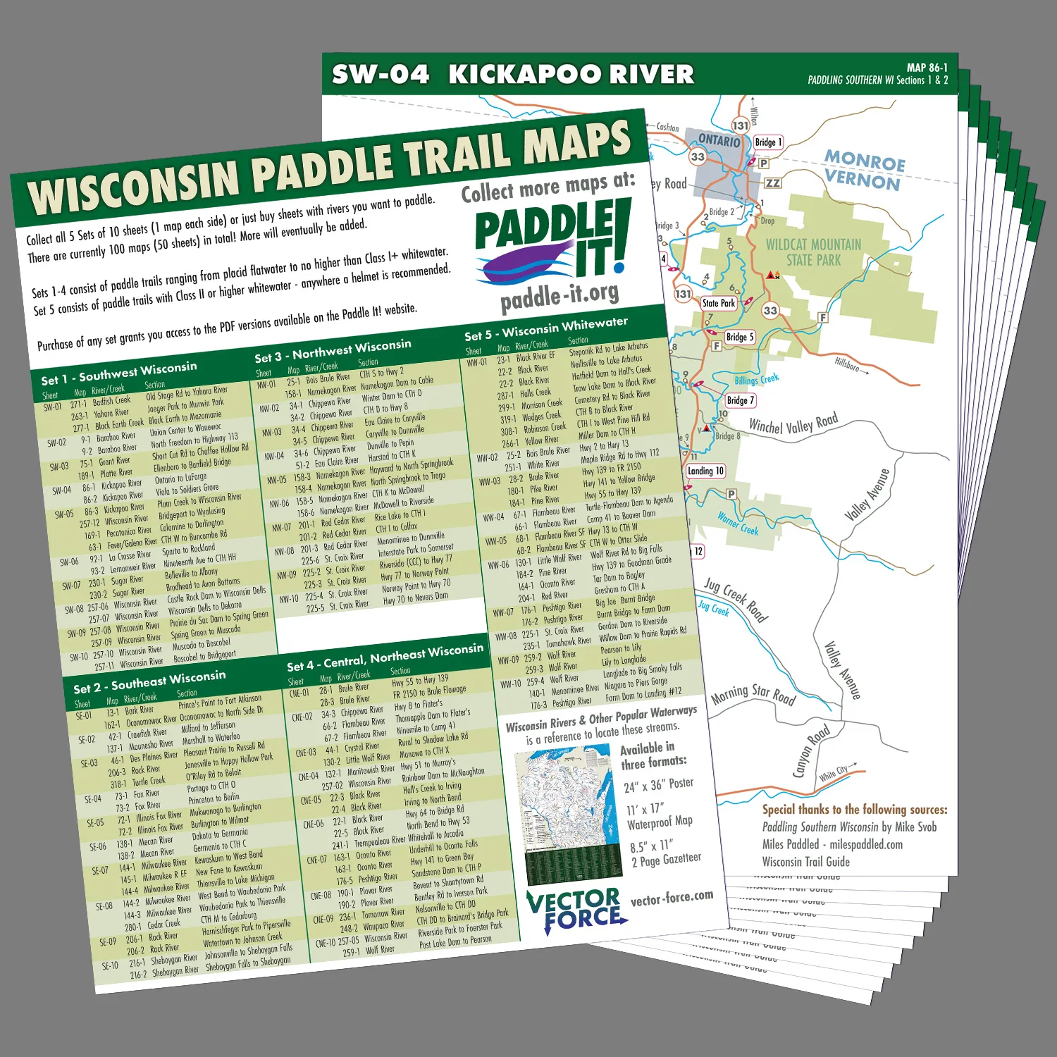
Jared Wold (who made the Wisconsin Rivers Poster) has recently launched a new series of waterproof paddle maps for Wisconsin. Over 100 maps will be included which will cover many of the state’s main water trails. You will be able to detach a specific map from its collection to bring along on a trip. This is a clever idea since cell service on rivers can be inconsistent (plus who wants to risk damaging/losing your phone or dealing with a dead battery). The maps will be grouped into five collections (four quadrants of the state plus a whitewater series). Each map will include mileage markers, access points and landmarks.
Click here for more details and to pre-order the Southwest Wisconsin collection.
WisconsinRiverTrips.com is not financially affiliated with Vector Force. I’m only linking to it because I think it is a neat idea!
How do I get the maps
Here is the link: https://vector-force.com/product/wisconsin-paddle-trail-maps-pre-order-special/
Hi. I’m interested in all the Wisconsin river map sets! Are they all available? And pricing? I only see the link to south east and south west Wisconsin.
Regards
James Guralski
Note, I don’t sell the maps. You should contact Jared for more information: https://vector-force.com/contact/